Places
7 places found.
Those places high-lighted have photos. All locations may have maps, books and memories.
Photos
264 photos found. Showing results 101 to 120.
Maps
28 maps found.
Books
Sorry, no books were found that related to your search.
Memories
357 memories found. Showing results 51 to 60.
School And Work In Fareham
I attended Fareham Secondary School at Southampton and Harrison Roads from 1950 to 1954. Then I started work as an apprentice at Croker and Farrell, who was the Ford dealer, which was situated right next to Trinity ...Read more
A memory of Fareham in 1959 by
A Brauton Boy
I was born in Braunton in 1938. I am now 75 yrs of age residing in Mansfield Woodhouse, Nottinghamshire where I have lived for the past 42 years. I have visited many countries in my life including a National Service stint for two ...Read more
A memory of Braunton in 1930 by
Duchess Of Edinburgh Pub
I was born in Bexley in 1948 and lived in Queens Road, Welling until we moved to Crawley New Town in 1962. The Duchess of Edinburgh pub was on the corner of our street where they used to sell whelks, cockles and jellied ...Read more
A memory of Welling in 1960 by
Keynsham Avenue Slinger Family
I, alongside four sisters, were were born at number 7 Keynsham Avenue. My grandfather owned the house before my parents. I attended Woodford Green Primary School with my younger sister from 1968 onwards. The ...Read more
A memory of Woodford Green in 1962 by
Gants Hill Newbury Park Ilford
Hi there, I'm not sure whether my first memory registered on this page. I'll always have fond memories of Ilford, Gants Hill and Valentines Park. I'll always remember those beautiful swans and Canadian cygnets, the ...Read more
A memory of Ilford by
Third Issue Of My " Barking Ramblings".
Living in the prefabs in Ilford Lane I could walk into town up Fanshawe Avenue, or go via Tanner Street and then Glenny Road or, and my memory may be playing tricks on me but I think it was Harpur Road and then up ...Read more
A memory of Barking by
Memories Of Days Gone By
I was born in Mark Street, Palmers Buildings. Around 1953 our family moved to Whitby Gardens, Holy Cross. Attended St Aidan's school. I worked down the Rising Sun from 1955 for three years then enlisted in the Army for six ...Read more
A memory of Wallsend by
Mum At Sainsbury's
My Mum worked at Sainsbury's in East Street in the late 50's - to early 60's. She used to 'knock up' the butter from the huge slabs into the small half pound packs, all while the customer waited. She also used to bring home the ...Read more
A memory of Barking
Fish Meadow Fun
The Fish Meadow is just North and East of the river bridge, and in my youth, (as now) was prone to flooding. I remember a year when the still water, stretching across the meadow (as opposed to the main river flow) froze over. ...Read more
A memory of Upton upon Severn
School In Chichester
I attended school in Chichester at St. John's school on East street. I went there from 1947 until 1951. I have many fond memories of my days there; great teachers, my first girlfriend Lesley and the bus ride home to Emsworth.
A memory of Chichester by
Captions
439 captions found. Showing results 121 to 144.
Bramley lies 2 miles east of Rotherham.
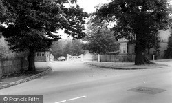
Sutton Coldfield itself is to the east, while Streetly borders the park to the north-west. There are several entrances to the park at Streetly, most for pedestrians only.
Sutton Coldfield itself is to the east, while Streetly borders the park to the north-west. There are several entrances to the park at Streetly, most for pedestrians only.
East of the High Street and parallel to it, Silver Street leads us out of the market place. On the left next to 'Phipps' is 'The Rising Sun', a Jacobean styled extravaganza of 1892.
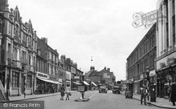
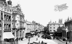
This central section of Regent Stret follows the line of the old Swallow Street, where London's notorious highwaymen left their horses in livery.
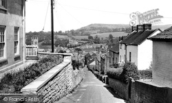
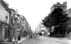
The narrow steeply- sloping Union Street, east of the church of St James, leads the eye northward out of town and towards the stark ridge of Peaked Down; its visible notch gives the down
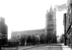
This view, taken from St Peter's Street, shows the great parish church which dominates the west side of Norwich's great market-place.
This first chapter is a tour from west to east in the parts of Surrey most affected by London. We start in Egham, a town on higher ground south of the River Thames.
The fine, large town church is situated up an alley at the east end of Market Street and behind the market-place. Only remnants of its medieval tower survive.
This view, taken from St Peter's Street, shows the great parish church which dominates the west side of Norwich's great market-place.
The narrow steeply- sloping Union Street, east of the church of St James, leads the eye northward out of town and towards the stark ridge of Peaked Down; its visible notch gives the down
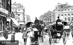
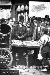
The commercial streets of the West End were always thronged with street traders pushing their handcarts, who returned at nights to slum areas of the East End.
The fine, large town church is situated up an alley at the east end of Market Street and behind the market-place. Only remnants of its medieval tower survive.
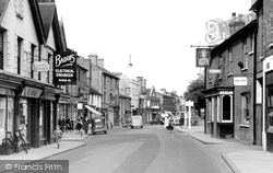
We are looking east along Tavern Street from Cornhill.
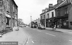
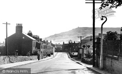
This view looking east down Colne Road in the main street of the village of Cowling, near Keighley, shows the prominent monuments of Wainman's Pinnacle and Lund's Tower on the escarpment of Earl Crag on
St Thomas Becket church is at the east end of Cliffe High Street, which runs west to cross the Ouse into School Hill and Lewes proper.
We are looking east along Tavern Street from Cornhill.
This photograph shows Cuddesdon's long High Street, with the pub sign just visible at the far end.
Its streets, North, South, East and West, follow the pattern laid down by the Romans.
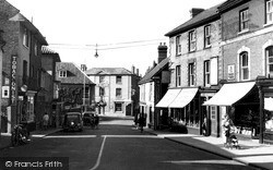
Looking east along the High Street, this view gives a good idea of the variety of buildings and building materials to be found in this street, which survived modern development.
The main east-west street of the town - Windsor Street this side of the Town Hall and London Street beyond - is indeed dominated by the 1851 Town Hall, which projects over the pavement; it is now a
The best group of older buildings is still at the east end of the High Street.
Lombard Street is one of the least changed streets in this delightful market town, a tangle of narrow lanes and alleys winding to the east of the towering walls of Petworth House's grounds.
East from Claygate and across the Hogsmill river valley, the route reaches Ewell, now by-passed by the A24 London to Worthing road.
Places (7)
Photos (264)
Memories (357)
Books (0)
Maps (28)


