Merry Christmas & Happy New Year!
Christmas Deliveries: If you placed an order on or before midday on Friday 19th December for Christmas delivery it was despatched before the Royal Mail or Parcel Force deadline and therefore should be received in time for Christmas. Orders placed after midday on Friday 19th December will be delivered in the New Year.
Please Note: Our offices and factory are now closed until Monday 5th January when we will be pleased to deal with any queries that have arisen during the holiday period.
During the holiday our Gift Cards may still be ordered for any last minute orders and will be sent automatically by email direct to your recipient - see here: Gift Cards
Places
36 places found.
Those places high-lighted have photos. All locations may have maps, books and memories.
- North Walsham, Norfolk
- North Berwick, Lothian
- North Chingford, Greater London
- Harrogate, Yorkshire
- Whitby, Yorkshire
- Filey, Yorkshire
- Knaresborough, Yorkshire
- Scarborough, Yorkshire
- Clevedon, Avon
- Weston-super-Mare, Avon
- Richmond, Yorkshire
- Selby, Yorkshire
- Ripon, Yorkshire
- Scunthorpe, Humberside
- Pickering, Yorkshire
- Settle, Yorkshire
- Skipton, Yorkshire
- Saltburn-By-The-Sea, Cleveland
- Norton-on-Derwent, Yorkshire
- Rhyl, Clwyd
- Chester, Cheshire
- Llandudno, Clwyd
- Grimsby, Humberside
- Durham, Durham
- Nailsea, Avon
- Southport, Merseyside
- Brigg, Humberside
- Colwyn Bay, Clwyd
- Redcar, Cleveland
- Bath, Avon
- Grange-Over-Sands, Cumbria
- Cleethorpes, Humberside
- Sedbergh, Cumbria
- Barrow-In-Furness, Cumbria
- Barmouth, Gwynedd
- Dolgellau, Gwynedd
Photos
2,570 photos found. Showing results 1,221 to 1,240.
Maps
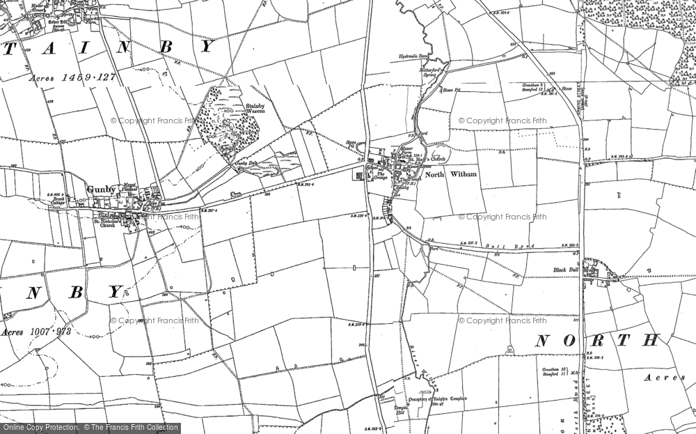
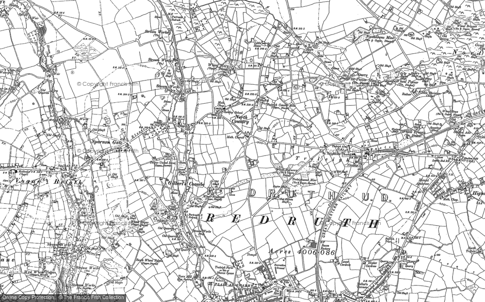
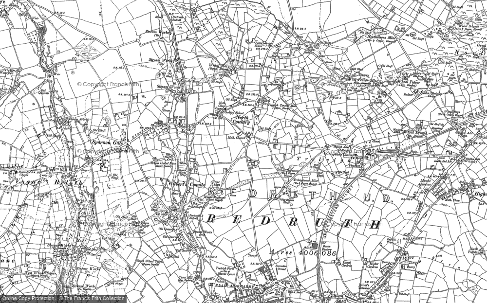
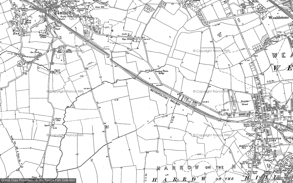
9,439 maps found.
Books
Sorry, no books were found that related to your search.
Memories
1,550 memories found. Showing results 611 to 620.
Phillips, Map Makers
Does anyone remember Phillips, the map makers on Victoria Road? The building seems to be being used by a company called BraiForm these days. I worked at Phillips for a brief six months on first leaving school in 1964. I ...Read more
A memory of North Acton by
My Days In Drayton
How nice to read about Drayton. My parents moved here in 1953 and my father owned the chemists shop on the north side of Havant road opposite Lower Drayton lane. In the early 60s,I played in local groups (The ...Read more
A memory of Drayton by
Born In Aldershot In 1946
I was born in Aldershot in June 1946. I believe the event was at the General Hospital at the top end of St.Georges Road. For the first year or so I lived with my parents and older brother at the bottom end of Victoria Road. ...Read more
A memory of Aldershot by
Lock Farm
My grandparents Bill and Alice Guy lived in a cottage on the farm at Lock where my grandad worked and I believe my Granny did starching for the 'big house'. She used to tell me of the happy memories on the farm and the great respect ...Read more
A memory of Partridge Green by
Proud To Have Come From Shaw
I think to reminisce is great. At 76, I find myself doing this quite often and am drawn back to Shaw, and to High Crompton, where I was born. The house I was born in on Rochdale Road, near the Bull's Head Pub, is ...Read more
A memory of Shaw by
Forgotten Anerley
Forget Penge, forget Sydenham, forget Crystal Palace, Anerley had the Town Hall. Centre of the Council Employment. Opposite on the north side of Anerley Road, on the railway bridge, were two kiosk shops which my earliest ...Read more
A memory of Anerley by
Hornsea Rd North London
My wife Patricia Burton was born in hornsea rd in 1942 to George and Lillian nee prescott, she has sadly passed away,nice if anybody New the family they moved to reading in the 50ss
A memory of London by
Orchard Road
Moved to Orchard Road South Ockendon from the east End (Canning Town) in 69 went to Mardyke school, still remember good memories about that school, can remember going down to the Mardyke river, there was a very shallow part near ...Read more
A memory of South Ockendon by
Fond Memories For Streatham, First Lived At 52 Valleyfield Road During Ww2 Then Moved To 21 Belltrees Grove.. Etc
Did Ice skating Saturday mornings, we walked down Russell Footpaths.... remember watching the United Dairies washing the GLASS MILK ...Read more
A memory of Streatham by
Many Holidays In North Somercotes
We used to visit my Gran and Grandad, Florence Daisy and George Humberstone every summer. They lived at The Bungalow, Front Street (Main Street?) This was on the same side and just past the bus depot ...Read more
A memory of North Somercotes by
Captions
2,645 captions found. Showing results 1,465 to 1,488.
In the centre is the old cross: the blur to the left is a pony and trap moving too quickly for the photographer's camera. The market town of Bedale is just a few miles to the north-east of Masham.
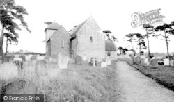
The unusual square tower at the north-east corner is thatched with Norfolk reed.
The view looking north in the Churchyard in the mid 1950s was much the same then as it is today. In 1963, a well was found in the premises facing us, then Wendy's Hat Shop.
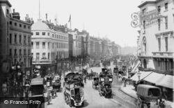
This view looks north towards Oxford Street. Nash’s handsome terraces were spurned by London’s affluent classes, for stucco was considered common.
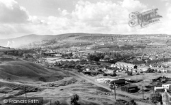
Before this date there were three separate industrial settlements, Beaufort in the north, Ebbw Vale in the centre, and Victoria in the south.
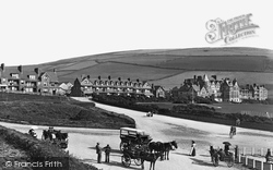
The village is at the north end of a magnificent two-mile long sandy beach. Until the 1800s this stretch of coast was remote, its splendours familiar only to Ilfracombe fishermen.
To the right we can see Kensington Church Street leading north to Notting Hill Gate.
The hotel was built by the London and North Western Railway Company for travellers from London to Scotland.
Southend was immensely popular with the lower middle and working classes from north and East London: none of the genteel pretensions of an Eastbourne here.
Here, seen from the tow path along the west bank, looking north towards Christchurch Meadow, the annual Eights Week is in full swing at the end of May when the college boats race each other.
This view looks north out of the Market Place, past the corner of St John Street, with the Old Vicarage on the right.
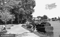
Nowadays the bank is more formalised and the trees are fewer than in this view, which looks along the river bank north-east to the suspension bridge.
East of Southend, the Thames meets the North Sea at Shoeburyness and its long journey ends.
In its heyday, the Angel Inn's frontage stretched 30 metres north from the Chantry Centre's upper High Street entrance.
On the right bank are the remnants of the trees from North Walk.
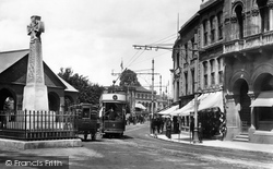
Much has changed here: the trams have long gone, the Celtic cross memorial to the Somerset Light Infantry's Burma Campaign in the 1880s is now a traffic island further up in North Street, while the open
This view looks north along the High Street.
It was built in 1848-49 by the North Staffordshire Railway Company (nicknamed the Knotty after its emblem the Stafford Knot), to link local services to the main London line at Colwich.
People first settled here at the foot of the North Downs because of the fresh water springs emerging from where the chalk meets a band of clay.
Back on the river, this view looks north-east from the Crowmarsh Gifford bank to Bridge House, with the remarkable spire of St Peter's Church beyond.
Wrexham's prosperity was founded on its position at the centre of the north Welsh coalfield, which fed local iron-, steel- and gasworks.
The lake is over three miles long and 100 feet deep; it stretches north-east towards the edges of the town, its borders wooded and its shores gravelled.
The hamlet of New Mill grew up near the canal north of Tring around Tring Mill, now Heygate Flour.
From the rear of the Black Boy are fine views towards North Marston, the hill dropping sharply into the valley.
Places (9301)
Photos (2570)
Memories (1550)
Books (0)
Maps (9439)


