Places
Sorry, no places were found that related to your search.
Photos
5 photos found. Showing results 641 to 5.
Maps
83 maps found.
Books
Sorry, no books were found that related to your search.
Memories
1,127 memories found. Showing results 321 to 330.
I Was Born Close To The Station In 1953
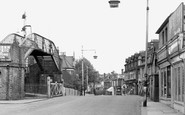
I was born above Beston's Stationers' shop, Station Road in 1953. The shop is on the left hand side close to the crossing gate and the bus stop was outside. I attended St Augustine's C of E Primary School ...Read more
A memory of Addlestone by
Happy Days In Hurlingham Road
I was born in 1947 in Hurlingham Road on the corner of Dolby Road. As kids we used to play in Dolby Road as there was only one car owner so not much traffic. Sometimes the car wouldn't start with the 'car handle' so we all ...Read more
A memory of Fulham by
My Memories When I Was Young In Stroud 1950s
It was amazing to look back at some of these photos..remembering them well. We as a family lived at 35 stratford road which was then a council house owned by the fire brigade, father worked in the fire ...Read more
A memory of Stroud by
A Million Miles From A Game Of Football.
I wrote this piece for a writing group exercise in April/May 2019, near my home in NE Scotland. LIttle did I know then that some of the memories would form part of my Mum's Eulogy just three months later. The ...Read more
A memory of Wembley by
Happy Days
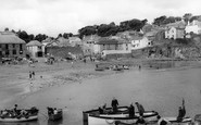
I am the dark haired young man sitting upright in the boat in the bottom left hand corner of the photograph taken in 1961. The boat was the Judith Mary built by Percy Mitchell for my late father, Spencer Clarke, in Portmellon in 1949. ...Read more
A memory of Gorran Haven by
12a Coronation Close Blenden
I was born at 12a Coronation Close, Blenden (near Danson Park and Bexley woods) in July of 1947. My family shared the house with my nan and aunts, Molly and Olive for the first 5 years of my life (we then moved to ...Read more
A memory of Bexleyheath by
Old Millers Yard
Millers Yard was in Grove Street opposite the Old Oxford Bus Company. Millers yard was founded by Mr Edward R Miller given its name of E.R. Miller until the late 40s / Early Fifty’s when sold to Mr Ivor P James, later taking on ...Read more
A memory of Wantage by
Silver Jubilee 1977
We moved to the Grove in North Cray from Edgebury Chislehurst in 1965. I went to the Boys side of Alma Rd School in 966 and later to Bexley Lane School. I have mixed emotions of attending Bexley Lane school, (now Cleave Park ...Read more
A memory of Sidcup by
Paradise!
My grandparent's on mother's side lived in top flat of Otterburn, Stroncarraig Brae, Rhubaan and my first visit was in August 1938 on a three weeks holiday from my home in Penarth, South Wales. My grandfather had a small open motor ...Read more
A memory of Tighnabruaich by
A Baby Boomer's Memories Of Groombridge
I was born in 1947 and as a baby lived for a short time with my parents at Leyswood Lodge south of the village. My family on my mother's side had lived in Groombridge for many, many years and I was the ...Read more
A memory of Groombridge by
Captions
1,233 captions found. Showing results 769 to 792.
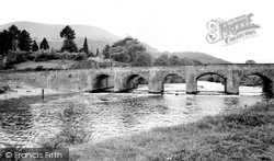
There seems to be ample room beneath the wide arches of Llanfoist Bridge, but when the Usk floods the waters have often risen to the top of them and flooded the Castle Meadows in the foreground
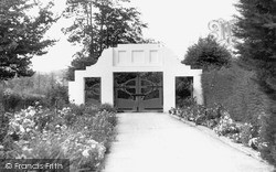
The entrance arch, with its green gates, was demolished in the 1980s to allow access for lorries building the new leisure centre.
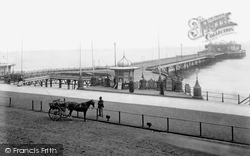
The pier has since been much built on, with varying degrees of success.
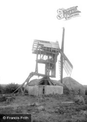
Looking very much a shadow of its former self, this windmill would have ground corn. In common with other mills in the area, it is a post mill, with the mill revolving round the central post.
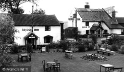
The now much enlarged thatched house on the right is the only Bridge Inn building standing today; the left-hand one has been demolished.
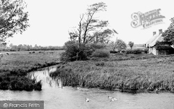
Thatched cottages (right) stand between Woolbridge Manor and the River Frome, looking upstream from the five mediaeval arches of Wool Bridge.
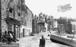
The road is very different to its modern counterpart, and reflects how much the sea was the main way out of St Ives. Cars pass by today where boats were once pulled up on the beach.
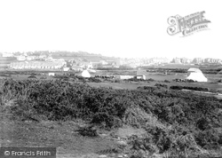
Before the new resort grew up across the landscape, much of the countryside around the old village was open downland along the breezy coastal strip.
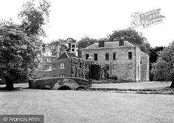
The house looks much the same today, though it is now a conference centre. The bridge in the foreground is 18th century, built of brick rubble with a moulded parapet.
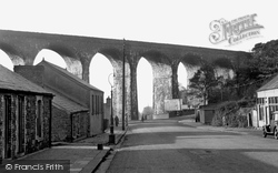
The line is long-since closed, but this towering sixteen-arch structure stands as a lasting reminder of Victorian skill and energy.
The 775 employees at Wolverton Works in 1851 grew to 2,000 by 1860, with the LNWR the largest single employer in North Bucks; a company engine driver earned nearly four times as much as an agricultural
there has been considerable investment in rejuvenating and developing the town, so much so that apparently property prices in and around the town are now rising faster here than in
Mickleover, still known as 'the village' to its residents, is today not much more than a dormitory town to nearby Derby.
Much of the stone came from the ruined Fulbrook Castle, which had been given to William de Compton by Henry VIII.
Much of the stone came from the ruined Fulbrook Castle, which had been given to William de Compton by Henry VIII.
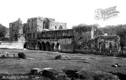
This view shows the late Norman arches of the cloisters. After the Dissolution of the Monasteries (1536-9) it became the property of Thomas Cromwell and soon fell into disrepair.
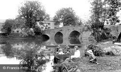
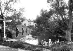
In the background is the 16th-century five-arched bridge which gave the village its name.
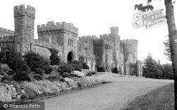
Not so much a castle as a huge castellated mansion, Cyfarthfa stands near Merthyr Tydfil and was built in 1825 for Robert Thomas Crawshay, a wealthy iron-master.
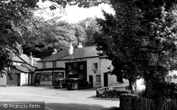
In previous centuries the old taverns hereabouts were much used by smugglers, who had brought into the Forest the contraband they had landed on the south coast.
A family picnic by the five-arched bridge originally built in the 16th century over the River Leven.
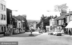
The buildings have not changed much, but the street has lost its hustle and bustle. Car parking was allowed at this time.
The street remains much the same today.
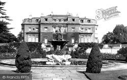
Much of the Hoo's 1053 acres of parkland were designed and laid out by Capability Brown in the 18th century.
The area has been much built upon in the century since this photograph was taken.
Places (0)
Photos (5)
Memories (1127)
Books (0)
Maps (83)

