Places
17 places found.
Those places high-lighted have photos. All locations may have maps, books and memories.
- Bridge End, Oxfordshire
- Bridge End, Lincolnshire
- Bridge End, Essex
- Bridge End, Bedfordshire
- Bridge End, Clwyd
- Bridge End, Warwickshire
- Bridge End, Surrey
- Bridge End, Durham (near Frosterley)
- Bridge End, Northumberland (near Hexham)
- Bridge End, Hereford & Worcester (near Tirley)
- Bridge End, Hereford & Worcester (near Bosbury)
- Bridge End, Shetland Islands
- Bridge End, Cumbria (near Carlisle)
- Bridge End, Northumberland (near Hexham)
- Bridge End, Devon (near Kingsbridge)
- Bridge End, Devon (near Sidmouth)
- West End, Yorkshire (near Pateley Bridge)
Photos
40 photos found. Showing results 661 to 40.
Maps
520 maps found.
Books
2 books found. Showing results 793 to 2.
Memories
1,925 memories found. Showing results 331 to 340.
My Old Cafe
I was only young when my family left Macs cafe, I lived there with my mum Dorothy, father Arthur King, brother Adrian, and sister Delicia King. My half brothers are Brian, Ken, John Cripps, and sister Daphne Cripps. I have good ...Read more
A memory of South Benfleet in 1960 by
Oh To Be Young Again
I remember when I first moved to Aveley, I was 7 years old. My nan lived in the prefabs and my mother, brother and myself moved in with her until they were demolished when I was eight years old. Then we moved into Hall Avenue, ...Read more
A memory of Aveley in 1960 by
Burnt Oak A Way Of Life
What a great place this web site is. I certainly love the Burnt Oak as I knew it between 1947 and 1969 when I then emigrated to SA (since back in Weston super Mare). All the memories you folk have mentioned are mine too. I ...Read more
A memory of Burnt Oak in 1960 by
Going Home For Lunch
I am on this photo. I am one of the three girls in Grammar School uniform. The time on the clock, I believe, is 12.40 so we must have been going home for lunch. Not many people used to go home for lunch but we used to walk ...Read more
A memory of Bridgend in 1960 by
Tobacconist
Preedys was the main tobacconist in Wolverhampton and the Express Cafe at the bottom of Queen Street is where I used to go for dinner on a Saturday after working the Minors matinee film at the ABC cinema in Garrick street. There ...Read more
A memory of Heath Town in 1960 by
Grandmas House
I grew up at my grannys house until age 5. I went to Wingate primary school for a while before we moved south. Her name was Anne Berry and my grandpa James died of cancer. I was born in 1957, and I had 2 little sisters, Pania and ...Read more
A memory of Wingate in 1960 by
Childhood Memories
I have fond memories of Sturry in the late '50s & early '60s when every week my Mum & I used to walk from Reed Avenue along the Sturry Road to the village, where my Granny lived in her little flat in Franklin House in the ...Read more
A memory of Sturry in 1960 by
My Childhood In Methilhill
I grew up in Grieve Street and my gran lived in Simon Crescent (no 28). I remember as a kid going to visit her and playing in the swing park opposite her house. There was a hill nearby which was called 'Hill 60' if my ...Read more
A memory of Methilhill in 1960 by
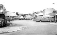
The Loss Of Bridgend's Heritage
I was working on the Echo Box in the early 1960s. I got to know a lot of the characters who worked for Western Welsh, Rhondda Coaches, Red & White, Coity Motors and the luxorious N & C Coaches from the Neath ...Read more
A memory of Bridgend in 1960 by
My Memories Of Lifton
My Memories of Lifton. I was born in 1946 lived in Lifton until I got married in 1971. I lived in Fore Street, next door lived Mr Brown, he used to repair shoes in his little shed in the garden and I used to watch him ...Read more
A memory of Lifton in 1960 by
Captions
1,770 captions found. Showing results 793 to 816.
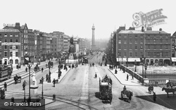
A view of O'Connell Street (then Sackville Street), looking north with the bridge over the Liffey in the foreground. The O'Connell and Nelson monuments are prominent.
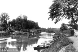
Our man from Frith manages to capture a picture of the small river steamer that operated between Worcester and Holt Fleet during the summer months.
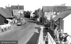
Seen from the bridge, most of these buildings survive as cafes, gift shops, and the like. The prominent semi-circular gable on the right in the distance is the famous Roy's Stores.
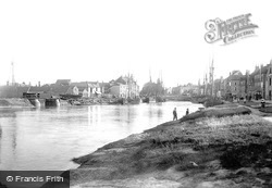
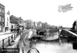
This view shows the shipping staithes at Bridgwater, this time downstream from the Town Bridge. Inevitably, the town is much changed now, with made-up roads, much more building - and no ships.
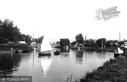
Wroxham is at the western gateway to the Broads, and profited greatly from the late 19th-century boom in 'messing about in boats'.
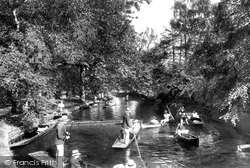
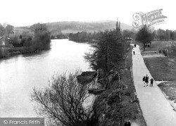
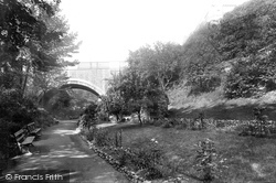
The tree-shaded riverside path has long been a popular shortcut linking the Thames riverbank with the High Street and Magdalen Bridge.
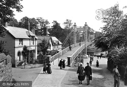
An excellent view of the rebuilt suspension bridge, which is for pedestrians only. On the far bank is one of the stages for excursion steamers, and a station for the hire of rowing boats.
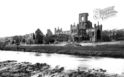
After the Dissolution, the abbey was left a ruin and many of its stones were eventually carted off and used to widen the old Leeds Bridge.
After the Dissolution, the abbey was left a ruin and many of its stones were eventually carted off and used to widen the old Leeds Bridge.
Although the bridge which spanned the entrance to Marlowes was dirty and shabby, over 500 people watched it being demolished at midnight on 6 July 1960.
Although the bridge which spanned the entrance to Marlowes was dirty and shabby, over 500 people watched it being demolished at midnight on 6 July 1960.
This view of Pangbourne shows the bridge over the River Pang, a tributary of the Thames.
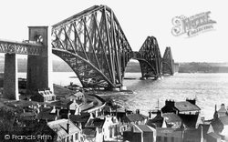
Following the opening of the Forth Bridge, the North British Railway Co decided that they could dispense with their ferry services.
Taken just a few years after photograph No 45876, this view shows Granville Terrace (left) and the Strand curving away beside the Neet beyond.
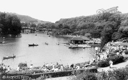
Millions of visitors have enjoyed the pleasures of this lake and wandered through the grounds. The bridge in the distance leads to the island on which the pagoda is located.
After the Dissolution, the abbey was left a ruin and many of its stones were eventually carted off and used to widen the old Leeds Bridge.
This photograph and No S214070 are particularly interesting because both views are taken from exactly the same spot on the Stourport Bridge.
The deep medieval moat with its 1825 bridge was turned into delightful gardens with terraces and benches. They remain virtually unchanged, but away to the left is now the Castle Mall shopping centre.
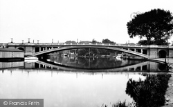
Reading Bridge is one of only two crossing points on this stretch of the River Thames. To the east of it lies King's Meadow, and just beyond it, the confluence of the Thames and the River Kennet.
The village owes its fame to Aysgarth Force, which comprises three main waterfalls, and a number of cascades. The upper falls can still be viewed from a 16th century single-arch bridge over the Ure.
Although the Town Bridge was the limit for fixed-masted vessels, barges and similar vessels could - and did - trade up-river as far as Langport.
The medieval bridge, built about 1340, crosses the Wensum into Bishopgate, which continues around the Cathedral boundary until it becomes Palace Street.
The medieval bridge, built about 1340, crosses the Wensum into Bishopgate, which continues around the Cathedral boundary until it becomes Palace Street.
Situated between the Hall and the village, Kelham Bridge's one claim to fame is that it was rammed and split in two by a small iceberg that floated down the Trent during the winter of 1854–55.
Places (17)
Photos (40)
Memories (1925)
Books (2)
Maps (520)

