Places
Sorry, no places were found that related to your search.
Photos
Sorry, no photos were found that related to your search.
Maps
7,034 maps found.
Books
163 books found. Showing results 817 to 840.
Memories
22,911 memories found. Showing results 341 to 350.
The Second World War
There was an air raid shelter under the green opposite the Three Jolly Wheelers pub. It comprised a number of concrete passageways. My mother my sister and I would use it on occasions when there was a particularly bad ...Read more
A memory of Woodford Bridge in 1945 by
Stories Of North Creake
My grandfather, John Arnett, was the teacher at the North Creake school for many years. Four of his sons came to Canada. When I was a little girl growing up in distant Saskatchewan the uncles would gather and tell ...Read more
A memory of North Creake in 1890 by
Salford In The War
As a child I lived in Earl St Hanky Park then moved to Cottrill St off Ellor St. I attended John St school in the Ellor St area. I never really knew my dad. He went in the army when I was 4 years old in 1939 and returned in ...Read more
A memory of Salford in 1930 by
Frognal Hampstead London Nw3 6yd
Frognal was mentioned in the early 15th century as a customary tenement and in 1740 Frognal field was the eastern abutment of Northfield, part of the demesne. By the 17th century there were several cottages and ...Read more
A memory of Hampstead by
The Watford To Rickmansworth Railway In The Second World War
Croxley Green station is now - in the 21st century - merely a shadow of its former busy life. My Auntie Dorrie (Doris Lacey) worked at this station throughout the Second World War ...Read more
A memory of Croxley Green in 1940 by
Play
I know records will prove me wrong, but summer seemed to start around the beginning of May and last until getting on to Bonfire night. We walked to Witton-le-Wear night after night to swim then walked home or, if we were lucky, got a ...Read more
A memory of Howden-le-Wear by
Shops
Bryant's Post Office with Mrs Robson, a Queen Motherish figure always dressed in a black two piece, dishing out pensions, stamps and postal orders from the aloof position behind her cage. Duggie Bain's cobblers, the warm oily smell, ...Read more
A memory of Howden-le-Wear by
Memories
I was born in East Harlsey in 1946 and was educated in the village school which of course is now a private house, or is it two. I remember there being two classrooms and, if my memory is correct, the teacher was a Mrs Lyle?? I seem ...Read more
A memory of East Harlsey in 1946 by
Looking At The Tyne As In Tyne Valley C1955 Ref P265001
This image of Prudhoe and the Tyne Valley is very interesting because the Northern or Ovingham side has not changed greatly. Field boundaries etc are as I look at. But the southern side where ...Read more
A memory of Prudhoe by
Your search returned a large number of results. Please try to refine your search further.
Captions
9,654 captions found. Showing results 817 to 840.
At the junction of the A12 and B1177 (centre right) is an advertisement for the Spread Eagle Hotel, kept by George Zessel, whose father had the White Hart at Wickham Market.
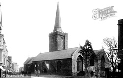
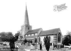
Written records of St Mary's Church date back to 1210. The High Street is remarkably quiet, but it is captured at a time of largely horse-drawn transport.
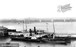
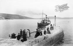
Here we see a paddle steamer moored at the harbour wall.
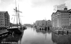
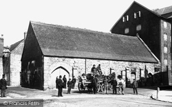
The 1920s were to bring about something of a mini-boom in the amount of traffic using Gloucester, for it was then that a number of companies, including National Benzole, opened oil terminals at the docks
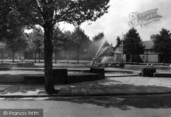
The fountain and pond are situated at the front of the art gallery at the end of a ribbon of lawns and rose beds known as the Diamond.
In 1815 Lord Byron married Anne Isabella Milbanke at Seaham Hall; the marriage is recorded in the church register at St Mary's. Byron hated Seaham; and the marriage was not made in heaven.
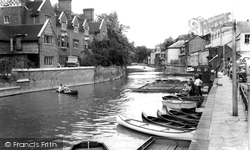
We are standing on Magdalene Bridge looking at the Cam.
This fine bridge is one of the most dazzling structures spanning London's river and was constructed in 1862 at the cost of £250,000.With the waters at low tide as they are here, critics have
Stanwell lies on the northern side of the Staines reservoirs, and is now under the flight path of Heathrow Airport. However, it still manages to retain much of its village atmosphere.
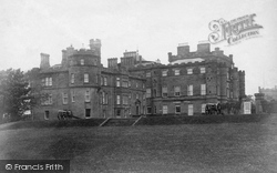
This was built for the twelfth Earl of Eglinton by John Patterson of Edinburgh in c1798.
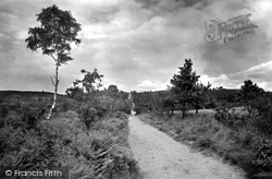
At the end of Kings Ride we find the Barossa Common.
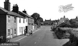
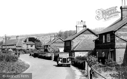
Further down Tanner's Hill, the lane becomes Old School Lane; this view looks north past these pairs of tile-hung former estate cottages, which are all now in private hands and extended by a bay at
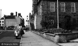
The pavement, the flowerbed and some of the road represent the location of buildings demolished in 1938 that hid the old school and St John's Hospital buildings from public view.
A solitary horse and cart is the only traffic at this wide and usually busy junction.
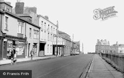
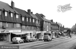
The service road alongside The Parade has now been incorporated into the busy A217, looking south towards today`s traffic lights at the junction with Reigate Road.
Victoria Pier used to be known as Crab Head until it was renamed following a visit by Princess Victoria with her mother the Duchess of Kent.
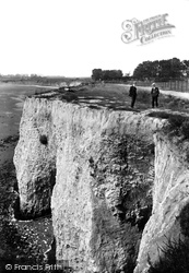
St Augustine landed here in AD597, and a St Augustine cross and well can be found at Cliffsend.
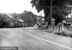
At this point the main Leominster to Hereford road starts to climb the steep hill. Stagecoaches would have been forced to stop here to pay their toll at the toll house overlooking the junction.
The cellars are situated in one of the oldest parts of town; we see it here on a busy day at the height of Poole's mercantile past.
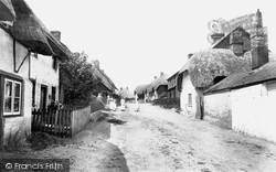
The village lies at the confluence of the River Anton and the Pillhill brook.
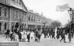
Here we see workers leaving the Great Western Railway yard, which, at one time, employed 12,000 people. The uniformity of dress amongst the men is striking.
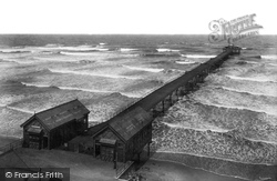
A view of the pier showing the North Sea in one of its more dramatic moods. Refreshments can be sought at the pavilion at the end of the pier.
A busy shopping day, at a time before Moulsham Street was effectively bisected by Chelmsford's inner relief road.
This medieval port stands at the head of the Camel estuary. Sailing ships from Bristol once plied up and down its channel and berthed at the town wharves.
Places (0)
Photos (0)
Memories (22911)
Books (163)
Maps (7034)


