Places
36 places found.
Those places high-lighted have photos. All locations may have maps, books and memories.
- Pentre-cwrt, Dyfed
- Pentre Halkyn, Clwyd
- Pentre, Mid Glamorgan
- Ton Pentre, Mid Glamorgan
- Pentre, Powys (near Llangynog)
- Pentre, Powys (near Guilsfield)
- Pentre, Powys (near Bishop's Castle)
- Pentre, Clwyd (near Mold)
- Pentre, Clwyd (near Ruabon)
- Pentre, Shropshire (near Chirk)
- Pentre, Clwyd (near Hawarden)
- Pentre, Dyfed (near Pontyates)
- Pentre, Powys (near Newtown)
- Pentre, Clwyd (near Chirk)
- Pentre, Clwyd (near Ruthin)
- Pentre, Clwyd (near Mold)
- Pentre, Shropshire (near Oswestry)
- Pentre, Powys (near Welshpool)
- Pentre, Clwyd (near Mold)
- Pentre, Shropshire (near Forton)
- Burntwood Pentre, Clwyd
- Pentre Berw, Gwynedd
- Pentre Hodre, Shropshire
- Pentre Llanrhaeadr, Clwyd
- Pentre-celyn, Clwyd
- Pentre Broughton, Clwyd
- Pentre Gwynfryn, Gwynedd
- Pentre Maelor, Clwyd
- Pentre-clawdd, Shropshire
- Pentre Galar, Dyfed
- Pentre Llifior, Powys
- Pentre-cefn, Shropshire
- Pentre-Gwenlais, Dyfed
- Pentre-Poeth, Dyfed
- Pentre Cilgwyn, Clwyd
- Pentre Morgan, Dyfed
Photos
98 photos found. Showing results 2,741 to 98.
Maps
316 maps found.
Books
2 books found. Showing results 3,289 to 2.
Memories
1,250 memories found. Showing results 1,250 to 1,250.
Captions
3,594 captions found. Showing results 3,289 to 3,312.
John rebuilt it before his death in 1624, at the age of eighty, and his magnificent tomb is inside, although the bodies of Sir John and his wife were later transferred to Rainham because of water penetration
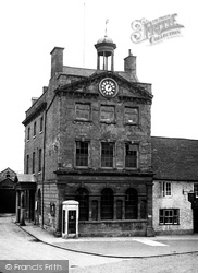
It was later restored and now houses the Daventry Museum, the town mayor's parlour and the tourist information centre. Note the K2 telephone kiosk, a superb 1926 design by Sir Giles Gilbert Scott.
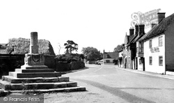
The historic village centre peters out beyond the right- hand turn into the High Street.
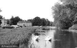
His brother, Francis Smith, designed the stable block (centre left) in 1737.
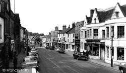
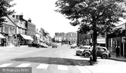
Looking down the High Street we can see Fosters Brothers (centre right) in a new building that replaced the Bear Hotel, one of Daventry's coaching inns.
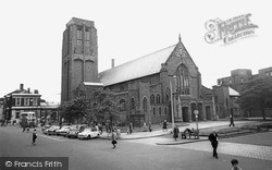
It is an evangelical church, and the present clergy are noted for taking their message out into the nearby shopping centre.
In the distance there are Victorian buildings - the Bramley Dairy, left of centre, is now a house.
The war memorial (centre left) commemorates the Royal Welsh Fusiliers of two World Wars so that 'their names will live for evermore'.
The view is westwards from Lower Eype to the outline of Thorncombe Beacon (centre) above Lyme Bay.
St Peter's Street is still as broad today as then, but it would be a brave cyclist who rode down its centre now.
Hendon was first recorded in the 10th century, but the Hendon we see in this photograph has very little in common with the original mediaeval centre about half a mile (as the crow flies) to the north.
On the other side of the road was a garage, which is now the Job Centre and the Sue Ryder shop. Then comes the HSBC bank followed by a building dated 1789 which now houses Calthop, solicitors.
The Butter Market of 1853 (centre) is now Achurch Hardware Store, and the snack bar next door is now a pizza and kebab house.
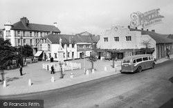
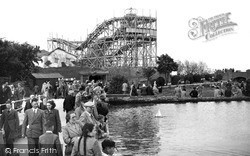
Whether you tried the cockles, crabs, mussels, prawns, shrimps or whelks at the Oyster Bar (centre left) before or after you had the ride was entirely up to you.
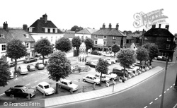
In the centre of the view, behind the Market Cross, we see property in the Market Place and entrance to Church Street before it was demolished as part of a road-widening scheme in the early
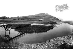
The coastal footpath from Charmouth (left) crosses to a shelter on Evan's Cliff (centre), but is then subject to recurrent problems as it crosses the landslip zone at Cain's Folly (central skyline).
On the other side of Bridge Street are the Rock Point Inn (centre right), where steps and signs lead to its Town View Restaurant.
It is a rarity among North London centres in that it stands well away from underground and railway stations, which may or may not account for the survival of such very fine groups of late 19th-century
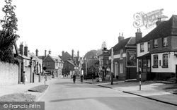
The High Street, fashioned in the 1930s, drops down to the original village centre, with the graveyard to St Martins church on the immediate right.
On the road linking Guildford and Dorking, this hamlet was one of the medieval centres of the local iron industry, and is named from the hammer-pond that worked a furnace here.
Shinner's large department store with its clock over the pavement is visible (centre left), and so is the white frontage of Perring's furniture showroom on the corner of West Street.
A large crowd is gathered on the beach in the centre of this photograph, possibly to watch 'Uncle Mac and his Minstrels.'
The Walmer Stores in the centre of this photo has its blinds down.
In the1920s Jesse Boot, founder of Boots the chemists, gave land to the west of Lenton, and University College moved here out of the city centre.
Places (57)
Photos (98)
Memories (1250)
Books (2)
Maps (316)


