Places
36 places found.
Those places high-lighted have photos. All locations may have maps, books and memories.
- Cardiff, South Glamorgan
- Barry, South Glamorgan
- Penarth, South Glamorgan
- Rhoose, South Glamorgan
- St Athan, South Glamorgan
- Cowbridge, South Glamorgan
- South Molton, Devon
- Llantwit Major, South Glamorgan
- Chipping Sodbury, Avon
- South Chingford, Greater London
- South Shields, Tyne and Wear
- Ayr, Strathclyde
- St Donat's, South Glamorgan
- Llanblethian, South Glamorgan
- Thornbury, Avon
- Llandough, South Glamorgan
- Fonmon, South Glamorgan
- St Nicholas, South Glamorgan
- Jarrow, Tyne and Wear
- Penmark, South Glamorgan
- Font-y-gary, South Glamorgan
- Maybole, Strathclyde
- Yate, Avon
- Oxford, Oxfordshire
- Torquay, Devon
- Newquay, Cornwall
- Salisbury, Wiltshire
- Bournemouth, Dorset
- St Ives, Cornwall
- Falmouth, Cornwall
- Guildford, Surrey
- Bath, Avon
- Looe, Cornwall
- Reigate, Surrey
- Minehead, Somerset
- Bude, Cornwall
Photos
5,607 photos found. Showing results 481 to 500.
Maps
2,499 maps found.
Books
23 books found. Showing results 577 to 23.
Memories
1,580 memories found. Showing results 241 to 250.
St Olafs Rd.
I was born in St Olafs Rd number 22 in 1946. Remember the Wilkins, Tickles Everett Dwyers Harley Drewit's Fennells and so many more. I lived at 46 when I was married leaving Fulham in 1968 for the South West where I am still living today. Still consider my home as Fulham though the roots run deep 😊
A memory of Fulham by
Dunbar And Spott Village
I was born in Haddington and lived in Spott village for first two years before moving south to Sussex. Summer holidays were always taken in Spott and Dunbar, so fond memories of the area. Rekindled when my son played two seasons with Edinburgh Rugby
A memory of Dunbar by
Growing Up In A Community
my parents moved to Sussex Crescent in 1954 with three young children, having been re homed from temporary housing - a prefab. The Northolt estate was a great place with a genuine community spirit, families all rallied ...Read more
A memory of Northolt by
Memories Of Days Gone By
I was born in Mark Street, Palmers Buildings. Around 1953 our family moved to Whitby Gardens, Holy Cross. Attended St Aidan's school. I worked down the Rising Sun from 1955 for three years then enlisted in the Army for six ...Read more
A memory of Wallsend by
Evacuee In South Petherton
My Mother Joyce Ladbury was evacuated to South Petherton at the beginning of WW2 aged 9 years. She stayed with a few families but most of all loved the Gaylard family. Mrs Gaylard and twin daughters Gwen and Cis ( or ...Read more
A memory of South Petherton by
Bromley High Street
I remember the coffee smell as one wandered up the high street. Someone on this memory board has asked what was it called. It was called: Coffee Importers, because that was what they did. You could buy beans or have them ground ...Read more
A memory of Bromley by
My Birthplace
iwas born in holmfirth valley hospital in july 1944. my name is judith rowley and i had a sister jean.my mother mavis and my father jim.we lived in south lane,then moved to a lovely house called cliftonville but cant remember the road ...Read more
A memory of Holmfirth by
West Ealing
I lived in Perivale from 1946 to 1977 by the maternity hospital. Went to Drayton Secondary School in West Ealing from 1957 to 1962. John Walters was the head at that time. Travelled to school by train from South Greenford Halt to West ...Read more
A memory of Ealing by
Crystal Palace
I was born in East Dulwich but my parents moved to Waverley Road, South Norwood when I was 3 months old. I moved out to Rayleigh Essex with my wife, who also lived in Waverley Road after our marriage in 1955. I was, and still am an ardent Crystal Palace fan.
A memory of South Norwood by
Southchurch Hall Farm And Park, A Branch Library In A Garden
The Hall was the closest Library to my family-home in Marlborough Rd. I used to spend hours there every week, researching school homework; and collecting Library Books for myself, - ...Read more
A memory of Southend-on-Sea by
Captions
2,476 captions found. Showing results 577 to 600.
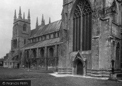
A Perpendicular-style octagonal font with cusped quatrefoils, and mildly Expressionist stained glass in one south window by John Hayward, 1962, are among the finer interior fixtures of St Mary's.
The south, or Tropenell, chapel is Perpendicular, as is the chancel arch and the tall north chapel.
The High Street (the A6 Leicester/Derby road) becomes Leicester Road as it runs south. A
Here we see South Walk, with Old Moore's Boat Station now built. The area to the right is Rock Park.
The Brecknock and Abergavenny Canal ran south from Brecon to link with the Monmouthshire canal.
A view looking south from Church Square along Dawson Street, which leads to Ballybay.
The path extends south right to the recreation park, and to the north, by crossing the bridge to the right hand bank, into the area known as Scot's Garden at the foot of Castle Hill.
Oswaldtwistle Moor, to the south of the town, is a love- ly unspoilt area of outstanding beauty. 'The 'twist', or meeting of rivers, where Oswald lives' is how the town gets its name.
The Mount is still largely undeveloped today, its tree-clad slopes rising to the south west of the town.
This would have come from the local chalk downs, and the stone for the windows, tracery and doorways perhaps came from Bentley, some five miles to the south.
The Wye joins the Derwent at Rowsley, and this photograph shows the smaller bridge over the River Wye to the south of the village.
The grimly-austere gritstone buildings of Rotherham Town Hall's Welfare and Health Department are typical of the South Yorkshire town's 'muck and brass' reputation.
The Thame flows into the Thames at Dorchester, a few miles to the south.
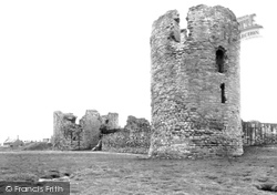
The south-east tower, or donjon, had walls 23 ft thick and was separated from the wall of the inner ward by its own moat and drawbridge.
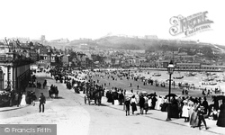
From the bottom of Valley Road the camera captures a crowded South Beach scene, and a bay full of sail-driven fishing boats.
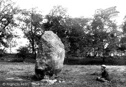
Just south of Penrith, Mayburgh Henge is a circular bank of earth and stones of about 1.5 acres, with one 10ft stone at the centre. It is thought to have been built between 1000BC-2000BC.
Just south of Penrith, Mayburgh Henge is a circular bank of earth and stones of about 1.5 acres, with one 10ft stone at the centre. It is thought to have been built between 1000BC-2000BC.
South of Iffley the Thames makes for Sandford.
Moving south from Thrapston we reach Raunds, another small Northamptonshire market town transformed into a Victorian boot and shoe manufacturing town.
Here is the St Mary's Square development, looking south. The only change to this riverscape has been the installation of a fountain in the middle.
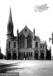
This picture, taken from the middle of South Green Road, shows the new Methodist Church in the High Street. It opened in 1880.
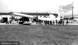
Southampton Airport lies to the south of Eastleigh town centre; it was from here that the first Spitfire began her maiden flight in 1936.
A little south of this view is Queen's Park with its boating lake, but the town is not noted for its great architecture.
Postbridge takes its name from the arched bridge that was built to carry the post road from Princetown in the south-west to Moretonhampstead in the north-east.
Places (15471)
Photos (5607)
Memories (1580)
Books (23)
Maps (2499)


