Merry Christmas & Happy New Year!
Christmas Deliveries: If you placed an order on or before midday on Friday 19th December for Christmas delivery it was despatched before the Royal Mail or Parcel Force deadline and therefore should be received in time for Christmas. Orders placed after midday on Friday 19th December will be delivered in the New Year.
Please Note: Our offices and factory are now closed until Monday 5th January when we will be pleased to deal with any queries that have arisen during the holiday period.
During the holiday our Gift Cards may still be ordered for any last minute orders and will be sent automatically by email direct to your recipient - see here: Gift Cards
Places
36 places found.
Those places high-lighted have photos. All locations may have maps, books and memories.
- West End, Gwynedd
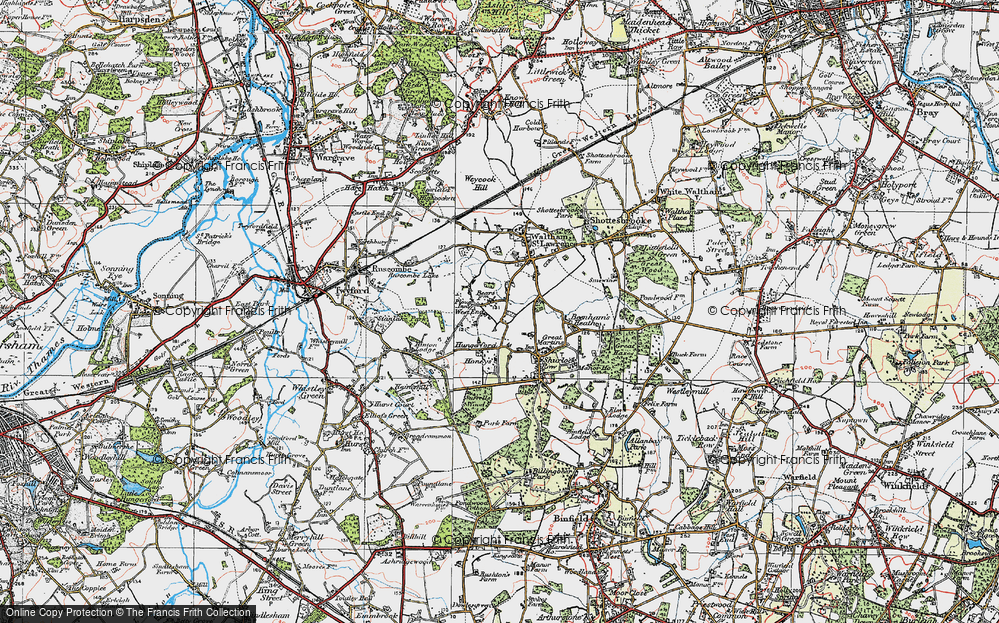
- West End, Hampshire (near Southampton)
- West End, Surrey (near Camberley)
- West End, Hampshire (near Medstead)
- West End, Leicestershire
- Ward End, West Midlands
- Shard End, West Midlands
- West End, Gloucestershire
- West End, Dorset
- West End, Strathclyde
- West End, Mid Glamorgan
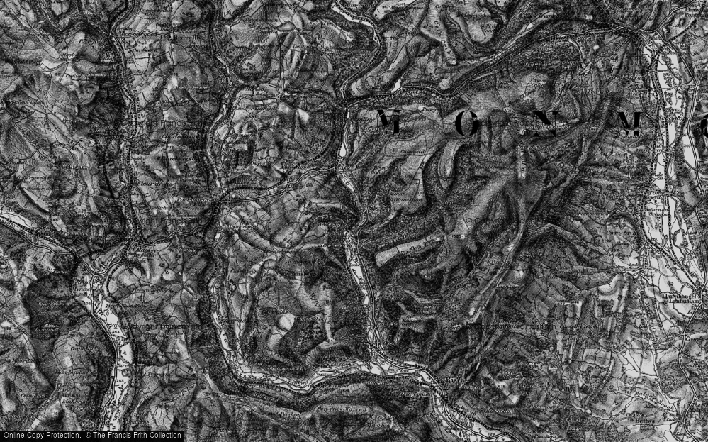
- West End, Gwent
- West End, Hertfordshire
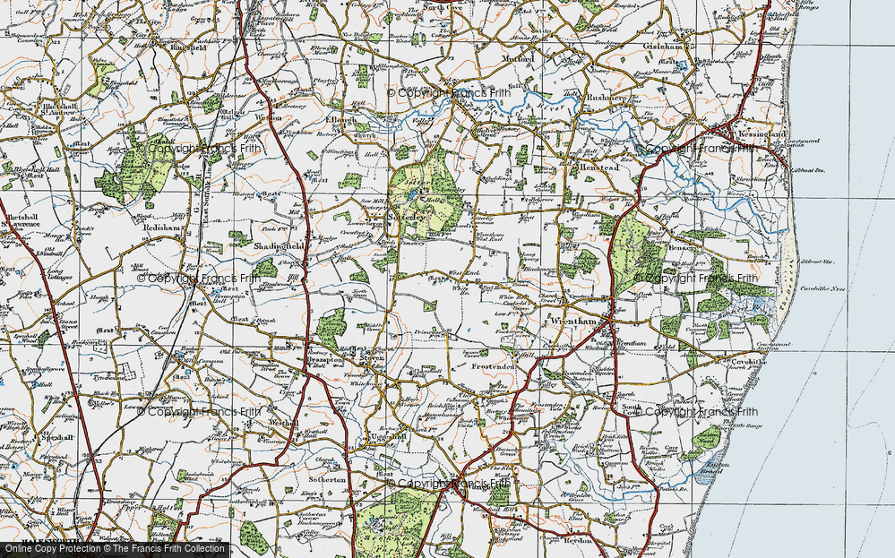
- West End, Suffolk
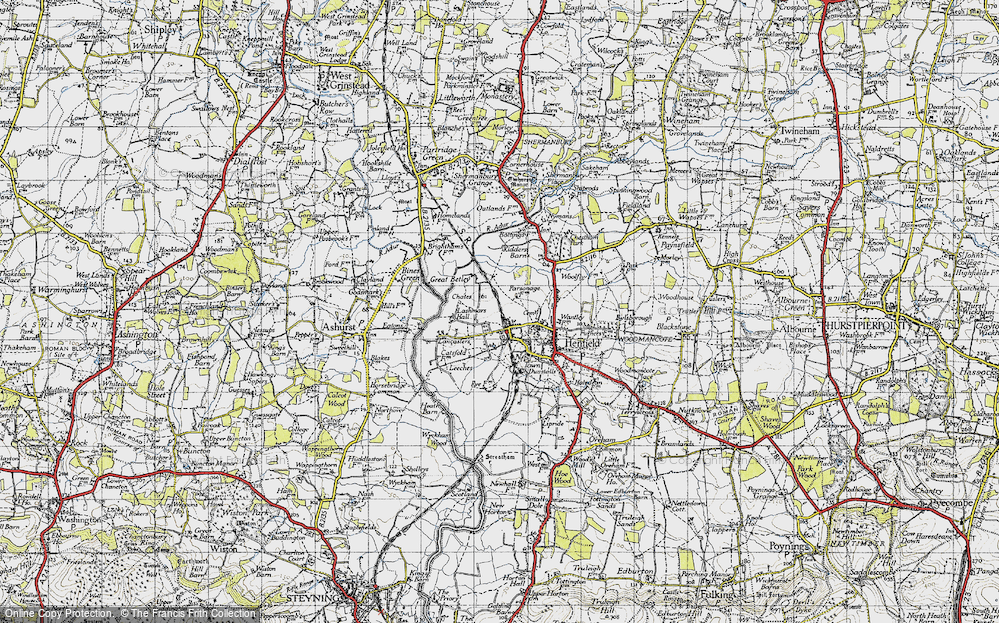
- West End, Sussex
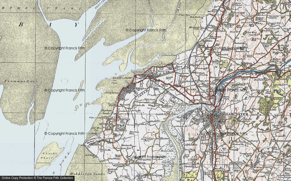
- West End, Lancashire (near Morecambe)
- West End, Yorkshire (near Tadcaster)
- West End, Avon (near Nailsea)
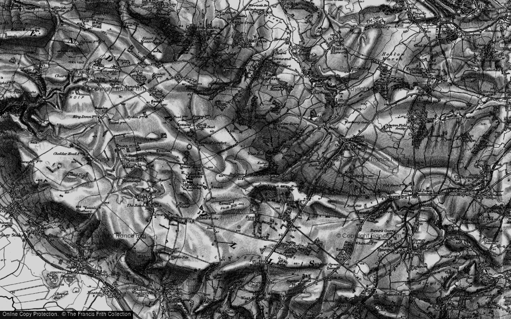
- West End, Somerset (near Wells)
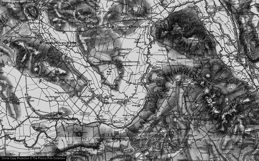
- West End, Oxfordshire (near Wallingford)
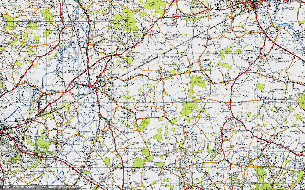
- West End, Berkshire (near Wokingham)
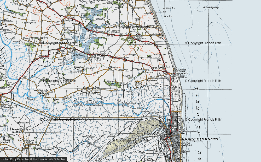
- West End, Norfolk (near Great Yarmouth)
- West End, Bedfordshire (near Great Staughton)
- West End, Kent (near Sittingbourne)
- West End, Yorkshire (near South Cave)
- West End, Avon (near Yate)
- West End, Wiltshire (near Shaftesbury)
- West End, Wiltshire (near Bowerchalke)
- West End, Berkshire (near Bracknell)
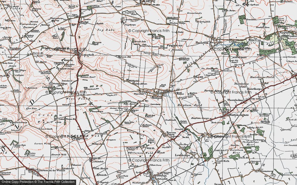
- West End, Yorkshire (near Driffield)
- West End, Yorkshire (near Hedon)
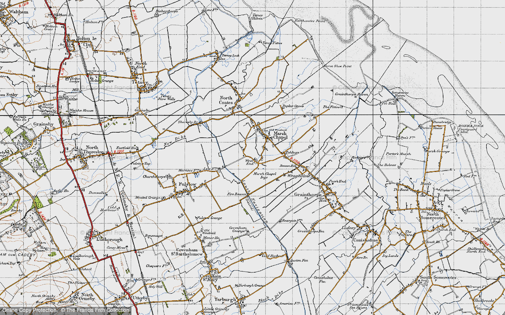
- West End, Lincolnshire (near Boston)
- West End, Cumbria (near Carlisle)
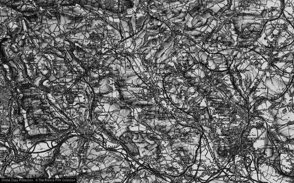
- West End, Yorkshire (near Cleckheaton)
- West End, Yorkshire (near Horsforth)
- West End, Oxfordshire (near Hardwick)
Photos
279 photos found. Showing results 61 to 80.
Maps
1,651 maps found.
Books
19 books found. Showing results 73 to 19.
Memories
2,057 memories found. Showing results 31 to 40.
The Shore Of Wood And Glass
Eynort shore is not the prettyist in the west, but it's washed up some odd things from time to time, Both myself and my brother have found messages in a bottle, and a least half a dozen bombs or old test missiles which ...Read more
A memory of Eynort
The Two Bob Gun
At the top of Queens Road in Buckhurst Hill is a small newsagents shop. It was owned by the Mr & Mrs. Silk. The shop sold papers magazines cigarettes, sweets and a few toys. Situated right across the road from where ...Read more
A memory of Buckhurst Hill by
Just Down The Road From Us
Our family lived in the village of West Horsley all of my life, I was born in 51, my sister in 49 and my youngest sister 56. We used to bike down to Ripley and Ockham. I went to school at Sir Walter Raleigh, and Howard ...Read more
A memory of Ripley in 1960 by
East Ham In The 1960s
In February 1963, when I was six and a half, my parents bought their first house, in Thorpe Road, East Ham. It was and had been a very cold winter, and when we moved in we had difficulty opening the back door, as there was so ...Read more
A memory of East Ham in 1963 by
Getting Locked In The Arboretum
I remember when I was 14 my friend Josie Weston and I rode our bikes along Broadway West to the Arboretum. We were walking along the paths and around by the lake when we met two boys and one of the boy's mothers ...Read more
A memory of Walsall by
A Day At Alum Chine In The 1960s
It's a few minutes before 8.30am, and I've just returned with the newspaper for Dad bought from the Riviera Hotel next door. I have to rush downstairs again in time to ring the gong for breakfast - Mr ...Read more
A memory of Westbourne in 1966 by
Perry Street/Pelham Road South
I live in West Sussex [between Brighton and Worthing] now but lived in Northfleet until 1971. Several photos bought back some vivid memories. In 1955 I would have been attending Cecil Road junior school, just off ...Read more
A memory of Northfleet in 1955 by
Sittingbourne To Australia
My name is Margaret. I was born in Park Road, Sittingbourne on 18.4.45. My parents were Flossie and Cyril Neaves. My dad worked as a machine man in the Sittingbourne paper mills and my mum worked fruit picking in ...Read more
A memory of Sittingbourne in 1971 by
Margaret
Margaret lived at 20 West View in 1951 and came regularly to Gateshead. She had a friend who lived near Saltwell Park. When I was called up to do my National Service on 4/10/1951 we were pen friends but she stopped writing after a good ...Read more
A memory of Washington in 1951 by
1970's And 1980's East Ham Memories
I left East Ham behind around 1983 for Essex, my mother and father told me we were moving because East Ham was changing, becoming dirty and run down, I was devastated. Recently I have met up with old class mates ...Read more
A memory of East Ham in 1983
Captions
1,993 captions found. Showing results 73 to 96.
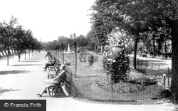
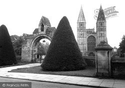
This view is taken from the east end of Embankment Gardens, where there was a matching urn to that at their west end.
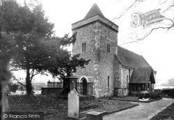
The main body of the church dates back to the 13th and 14th centuries, and was here in 1180.
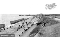
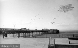
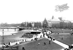
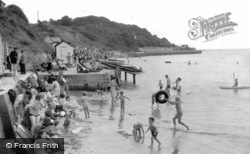
Here we see the area at the start of the West End Pier.
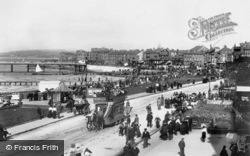
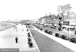
This lovely view of the Promenade looks north towards Hest Bank, with the Central Pier in the background.
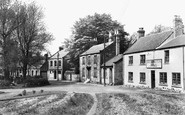
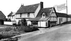
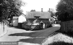
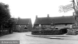
At its west end the village had a post office and stores. Now a house, it retainst the Victorian wall letterbox near the door, cleared four times a day in around 1900.
We are looking south-west down Crofts End, the lane which leads from Crofts End itself at the top of the hill behind the photographer to the main through road.
St Thomas Becket church is at the east end of Cliffe High Street, which runs west to cross the Ouse into School Hill and Lewes proper.
This view is looking north-westwards from the junction with North Allington, at the bottom end of South Street.
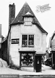
At the south end of Cheap Street, seen on the right, were the premises of H R Hughes; the building has a narrow three-sided front and a stone-tiled roof, also with three planes.
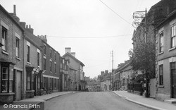
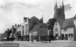
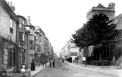
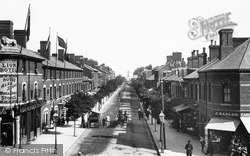
At the west end of the High Street, London Road curves away north-west downhill.
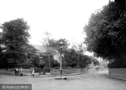
The Village 1959 At the west end of the village, at the junction of Gainsborough Road with the A30, is this former school of the 1880s, built in rock-faced rubble stone and ashlar dressings.
We are looking at the area that was between West End and Central Piers just before they both fell foul of the weather.
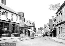
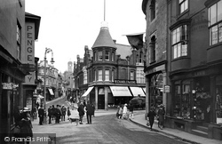
Today, it would be difficult to stand for long in the middle of this road junction at the bottom of town; here West End meets Fore Street and Penryn Street (right).
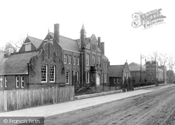
Along the Marlow Road at the west end of Kidwell's Park is the former Technical School, dated 1895.
The route leaves Newark and heads six miles west to the small and delightful town of Southwell, whose minster church had been founded by the Archbishop of York before AD956.
Colwell Bay, just west of Yarmouth, has a good mile of sand sheltered by the low cliffs behind.
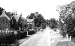
Little has changed at this junction on the roads to Newnham and Hinxworth, known as West End and Back Street.
Not far from Amesbury and Stonehenge, Wilsford and Lake are small villages strung along a back road.
Finedon has had a market charter since at least 1294 and the older part of the town, pictured here, lies at the west end.
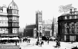
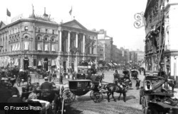
It is hard to believe that this elegant corner of the West End is now smothered with giant neon advertisements.
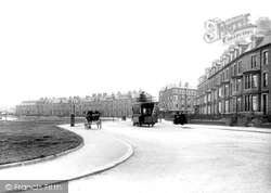
The southern part of Morecambe (referred to as the west end), towards Heysham, soon developed as the more genteel side of the resort, with smart hotels; it was thought to be a little superior.
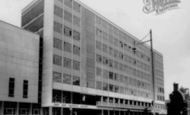
It was demolished in 1939, and an office block now stands on the site.
At the west end of Lumley Road there were a few shops in 1899, but the view is utterly transformed now from Roman Bank, a reference to the old Roman sea wall.
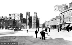
Dominating Castle Square ('Y Maes' in Welsh) at the west end of the town, stands the great bulk of the castle. The structure covers two and a half acres and is in the shape of an irregular oblong.
Places (99)
Photos (279)
Memories (2057)
Books (19)
Maps (1651)


