Places
26 places found.
Those places high-lighted have photos. All locations may have maps, books and memories.
- Cemmaes Road, Powys
- Six Road Ends, County Down
- Road Weedon, Northamptonshire
- Severn Road Bridge, Gloucestershire
- Roade, Northamptonshire
- Berkeley Road, Gloucestershire
- Harling Road, Norfolk
- Road Green, Devon
- Builth Road, Powys
- Cross Roads, Yorkshire
- Steele Road, Borders
- Cross Roads, Devon
- Four Roads, Dyfed
- Road Green, Norfolk
- Biggar Road, Strathclyde
- Clarbeston Road, Dyfed
- Five Roads, Dyfed
- Eccles Road, Norfolk
- Grampound Road, Cornwall
- Morchard Road, Devon
- Wood Road, Greater Manchester
- Four Roads, Isle of Man
- St Columb Road, Cornwall
- Clipiau, Gwynedd (near Cemmaes Road)
- New Road Side, Yorkshire (near Silsden)
- New Road Side, Yorkshire (near Cleckheaton)
Photos
14,329 photos found. Showing results 801 to 820.
Maps
476 maps found.
Books
5 books found. Showing results 961 to 5.
Memories
11,058 memories found. Showing results 401 to 410.
Tracing Relatives
I would like to trace any members of my family who lived in the reading area my family name is Whitlock but i was brought up by Mr & Mrs A E Pear we lived at Binfield i had a uncle and aunt in Brunswick St , Also a cousin last ...Read more
A memory of Reading by
My Playground As A Child
My name is Ron Sargeant and I lived at 52 Worcester Crescent Mill Hill from 1939 until 1964 when I married the girl across the road from number 51, Barbara Snelling, and moved to Harrow Now as to the picture. On the ...Read more
A memory of Mill Hill by
Crossfield House Children's Home.
I was in Crossfield House Children's Home for 7 years from about 1958 to about 1965. I loved Gerrard's Cross, the primary school & I loved the village itself. It was fun for me as a young boy out of the ...Read more
A memory of Gerrards Cross by
What Used To Be.
The place where the Lydgate tunnel is a left over mound of ground found in the back field. There used to be 2 pubs and a black smithy that fell in and was rebuilt. They used to live and work in the ...Read more
A memory of Lydgate by
Spring Cherry Blossom In Welling
In a front garden opposite the back entrance of Brampton Primary School in Alexander Road, stood a huge cherry tree. During the month of April it magically transformed into a spring version of winter wonderland. a ...Read more
A memory of Welling
Dartford
Can anybody help me please. I am looking for an old friend Doreen Barnett who lived in Brent Lane. She had a sister Eileen. Doreen was a close friend of my late husband Graham Board and was a frequent visitor to our house in Park Road ...Read more
A memory of Dartford by
Ivey House School
After a family breakup, my mother & I moved to Shepton Mallet in the late '60's, on the Hillmead Estate. I went to Ivey House Preparatory School, as it was called. It was a funny little place in Princes Road. Mrs Jacobs ...Read more
A memory of Shepton Mallet by
When We Played In The Road
Gipsy Road in Welling where I lived as a child in the 1950's was a long one. It stretched from Okehampton Crescent near Bostall heath and woods at its north end, down to the Welling/Bexleyheath mainline railway and a ...Read more
A memory of Wellings, The
Braywick 1916
My grandfather, James Boddy, married my grandmother, Ada Stacey, at Bray Church in 1916. They were both from Marlow, but at the time James gave his residence as Maidenhead and Ada gave hers as Ravenscroft, Braywick Road. She may have been ...Read more
A memory of Bray
The Mighty Slide Of Stephens Park
When very young I used to go with my father to the huge allotments opposite the parade of shops in Wrotham Road. It was always on a Sunday when the hut shop was open for the sale of seed, fertiliser and garden ...Read more
A memory of Welling by
Your search returned a large number of results. Please try to refine your search further.
Captions
5,036 captions found. Showing results 961 to 984.
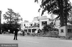
This evocative photograph is taken west of Chertsey on the A30 London Road at its junction with Christchurch Road, the B389, which lies beyond the policeman on points duty and to the left of the
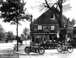
These refreshment and dining rooms, on the corner of the Portsmouth Road and Copse Road, provided a popular stopping place for cyclists, particularly since the rear of the premises housed a cycle repair
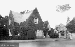
The lodge became known as County Gates because this junction on the main Bournemouth-Poole road was also the boundary between both the two towns and Hampshire and Dorset.
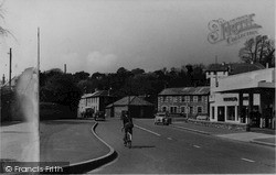
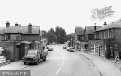
All the needs of a developing small town are in evidence - the Bedford lorry loaded with builders materials, Charles Love & Son's ironmongery and radio/TV engineer's (right), Lisles petrol station (near
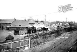
This photograph shows the part of the Jubilee Exhibition of 1887 that was situated between Talbot Road and the railway.
The junction off Grange Road and Whetstone Lane (to the right) is known as Charing Cross. Grange Road was one of the main shopping streets in Birkenhead, and was very popular.
The road heading into the distance is Boltro Road, which leads down to the railway station - the railway line is off to the right of this photograph.
Further along South Street we find the Cricketers' Arms (last building on the right, 57641) and the Queen's Head (right, D45017) and the junction to Horsham Road and Vincent Lane.
However, in earlier times it was the terror of travellers on the Holyhead Road. This stretch of the coast road was merely a ledge cut along the crumbly cliffs, and was notorious for accidents.
This view looks east along Tring Road from Hazell's Corner. It is now a major roundabout, with a Tesco's on the left and the Works and house replaced.
Excellent 18th-century houses are to be found on the Leicester Road, but here we see a contrast between the thatched cottages of pre-18th-century date and the Rose and Crown pub, an early roadhouse.
Central Park ran from Queensway to the back of Western Road, whose c1900 houses can be seen in the distance.
Port Hill is the steepest in Hertford, and the road was strewn with sand to help the horses drawing the drays to obtain a firm grip.
Station Road was laid out in the late 19th century, and contained many prominent institutions.
The church of St Peter and St Paul, another of the marshland churches, is located by the side of the A158 main road to Skegness - during the summer this is a very busy road indeed.
village has been given a sweeping bypass, Broughton Way, on its north side, reducing the volume of traffic negotiating Main Street and the area around St Mary's Church and Old Mill Road
Children wait on the pavement and road edge to be included in the Frith photograph. Women in long skirts walk along, or wait on the opposite pavement.
Our first rural tour heads eastwards, skirting to the north of the Pevensey Levels, those great marshes largely drained during the Middle Ages, and following the road that heads for Ninfield
This small village is situated on the A25 Dorking to Reigate road, and is cut in two by heavy traffic.
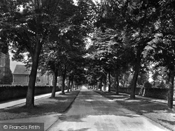
The main east-west axis of the Albert Park estate is a tree-lined avenue, Park Road.
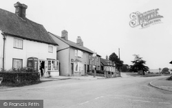
The 17th-century post office stands at the corner of Bramfield Road and Mardlebury Road. It and the Plough beyond have today changed little since this photograph was taken.
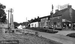
Away from the bustle of the main Scarborough road lies the secluded village of Gristhorpe. Looking down the main street, we see the old post office (right), now two cottages.
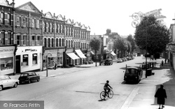
To the south-east of mediaeval Finchley, the High Road drops down from the North Circular Road between an almost standard series of parade shops built around the turn of the century, and past the Rex Cinema
Regular bus services came about rapidly; Victoria Road was the main route. It was once known as Ramper, a high dyke built (along with the draining of Thornton Marsh) to keep back the sea.
Places (26)
Photos (14329)
Memories (11058)
Books (5)
Maps (476)


