Merry Christmas & Happy New Year!
Christmas Deliveries: If you placed an order on or before midday on Friday 19th December for Christmas delivery it was despatched before the Royal Mail or Parcel Force deadline and therefore should be received in time for Christmas. Orders placed after midday on Friday 19th December will be delivered in the New Year.
Please Note: Our offices and factory are now closed until Monday 5th January when we will be pleased to deal with any queries that have arisen during the holiday period.
During the holiday our Gift Cards may still be ordered for any last minute orders and will be sent automatically by email direct to your recipient - see here: Gift Cards
Places
36 places found.
Those places high-lighted have photos. All locations may have maps, books and memories.
- North Walsham, Norfolk
- North Berwick, Lothian
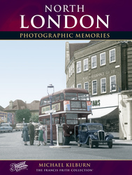
- North Chingford, Greater London
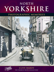
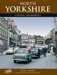
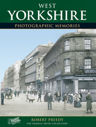
- Harrogate, Yorkshire
- Whitby, Yorkshire
- Filey, Yorkshire
- Knaresborough, Yorkshire
- Scarborough, Yorkshire
- Clevedon, Avon
- Weston-super-Mare, Avon
- Richmond, Yorkshire
- Selby, Yorkshire
- Ripon, Yorkshire
- Scunthorpe, Humberside
- Pickering, Yorkshire
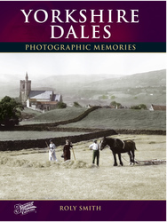
- Settle, Yorkshire
- Skipton, Yorkshire
- Saltburn-By-The-Sea, Cleveland
- Norton-on-Derwent, Yorkshire
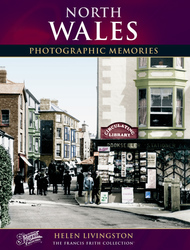
- Rhyl, Clwyd
- Chester, Cheshire
- Llandudno, Clwyd
- Grimsby, Humberside
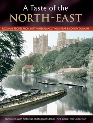
- Durham, Durham
- Nailsea, Avon
- Southport, Merseyside
- Brigg, Humberside
- Colwyn Bay, Clwyd
- Redcar, Cleveland
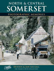
- Bath, Avon
- Grange-Over-Sands, Cumbria
- Cleethorpes, Humberside
- Sedbergh, Cumbria
- Barrow-In-Furness, Cumbria
- Barmouth, Gwynedd
- Dolgellau, Gwynedd
Photos
383 photos found. Showing results 1 to 20.


Maps
Sorry, no maps were found that related to your search.
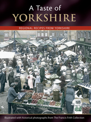
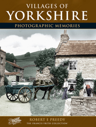
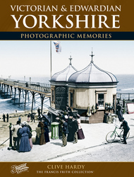
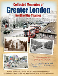
Books
39 books found. Showing results 1 to 24.
Memories
Sorry, no memories were found that related to your search.
Captions
31 captions found. Showing results 1 to 24.

Generally known as Hetty Pegler's Tump, named after a local landowner (Tump being a Cotswold word to indicate a small hill or mound), this Neolithic long barrow a mile to the north of Uley

The main axis of the principal roads consists of the Roman east-west artery, now the High Street, and one of the Roman north-south roads, now North Hill and Head Street.

This view of the cathedral from the north side shows sheep grazing in what is now almost the city centre.

Lying three miles north east of the Trent, the Minster was founded by the Archbishop of York in the early 12th century and is undoubtedly one of the most beautiful Norman buildings in England.

The hilly region ends with the valley of the Sulby, to the north of which is a plain'.

The church of St John the Baptist is in the village of Carnaby, which is just over two miles from Bridlington and was on the Scarborough and Hull branch of the North Eastern Railway line.

The brand-new tower of the Town Hall can be seen above the far shops in North End, which today is a pedestrianised road.

Pier Hill can be seen rising behind the foreshore buildings with the High Street stretching north from The Royal Hotel.

This view looks north along the High Street.

The hotel was built by the London and North Western Railway Company for travellers from London to Scotland.

Here we see the great castle-like north- east corner tower and, to the right, the Great Hall’s oriel bay window and the (now glazed) cupola to vent the hall’s former open fire.

In the background is the North Pier, with an excursion steamer alongside its landing stage. This picture was taken from the South Jetty.

An evocative view from the north-east of the part of the town immediately below the castle and the impressive castle and prison itself.

Here Symondsbury may be deficient but it can boast the thatched Ilchester Arms Inn (right), which is named for the Strangways family, owning lands from Abbotsbury Swannery to Melbury House

The most scenic approach to the town is from the north. A

In the distance is Birnbeck Pier with the steamer jetty to the north, and the lifeboat slipway on the south.

Externally the church is Perpendicular, except for the west front, which was rebuilt in 1861-62.
A mile north of Uley there is another long barrow, known as Hetty Pegler's Tump.

This view is of the north front, which faces the village, while the south overlooks the River Cherwell valley, across a somewhat mutilated Capability Brown parkland of the 1760s.

It was begun in 1070 by Archbishop Lanfranc, with the central Bell Harry tower being completed in 1500 and the north-west tower added between 1831 and 1840; this picture gives an excellent

Just north of Chipping Norton, in the parish of Great Rollright, lie the Rollright Stones, set in a circle about 100 feet in diameter.

The town`s main north-south thoroughfare was then largely residential with the only prominent shopfront being that of Turner`s Corn and Seed Stores (left), advertising Lipton`s Teas above the

It looks north over the wide, flat, formerly marshy valley of the River Arun and the Amberley Wild Brooks, and west to the narrowing valley as the river cuts through the South Downs.

The third (bottom left) was taken looking along Riverside north with the gardens of the Red Lion on the right; this was a most exclusive seating area, but it has since been lost to road improvements
Places (9301)
Photos (383)
Memories (0)
Books (39)
Maps (0)

