Places
26 places found.
Those places high-lighted have photos. All locations may have maps, books and memories.
- Cemmaes Road, Powys
- Six Road Ends, County Down
- Road Weedon, Northamptonshire
- Severn Road Bridge, Gloucestershire
- Roade, Northamptonshire
- Berkeley Road, Gloucestershire
- Harling Road, Norfolk
- Road Green, Devon
- Builth Road, Powys
- Cross Roads, Yorkshire
- Steele Road, Borders
- Cross Roads, Devon
- Four Roads, Dyfed
- Road Green, Norfolk
- Biggar Road, Strathclyde
- Clarbeston Road, Dyfed
- Five Roads, Dyfed
- Eccles Road, Norfolk
- Grampound Road, Cornwall
- Morchard Road, Devon
- Wood Road, Greater Manchester
- Four Roads, Isle of Man
- St Columb Road, Cornwall
- Clipiau, Gwynedd (near Cemmaes Road)
- New Road Side, Yorkshire (near Silsden)
- New Road Side, Yorkshire (near Cleckheaton)
Photos
14,329 photos found. Showing results 2,041 to 2,060.
Maps
476 maps found.
Books
5 books found. Showing results 2,449 to 5.
Memories
11,058 memories found. Showing results 1,021 to 1,030.
Remembering Byfleet
I was born in Byfleet in 1950. We lived in Binfield Road. Later I moved to the hotel that was built where the village green is now. My mother Beatrice Stenning was the housekeeper, cook, maid and everything in between. My dad ...Read more
A memory of Byfleet by
Mill Road
Well, I guess I don't really have a date to start from, I lived in Aveley Severn Road (Kenningtons). I was born 1964. I've been trying to find Tracey Fenwick, she lived in Ravel Road, but most of all I'm trying to trace Mr and Mrs ...Read more
A memory of Aveley in 1980 by
West Street Shops
Shops on West Street in the 1960s were left to right: Merritts the butcher next door to Blackiston the butcher, famous for the specialty sausages, also had its own slaughterhouse and in the back garden an Anderson shelter used ...Read more
A memory of Midhurst in 1960 by
Toffee Smith
The best stall in the market was Toffee Smith's sweet caravan, when it wasn't on the market it was parked up Oxford Road, Gomersal.
A memory of Heckmondwike in 1971 by
Loveday's And Blewers
My mum is a Loveday and her mum and dad, Sid and Amy, ran Kaysland caravan park. Mum married my dad George Blewer, and they had us three kids. Grandad Blewer had the timber yard and then my Uncle Johnny took it over. ...Read more
A memory of West Kingsdown by
Harrow Farm
My grand x3 grandfather James Sewell lived at Harrow Farm, he worked as a farm labourer. There was land named Sewells land which was auction by the Boggis estates and sold in 1914. Another ancestor, James, was a publican and ...Read more
A memory of South Hanningfield in 1870 by
Memories Of War Years 1939 45 Newport
Memories of War years 1939 -1945. By John Beal. Little did I realise that I would be involved in the army when war broke out in 1939. I was attending Hatherleigh Central School in Newport at the time and as ...Read more
A memory of Newport in 1940 by
Pride Of The Valley
I used to camp as a child and teenager at Crosswater down the road [my father knew the then owner] and one of my memories is of driving past the hotel en-route from Farnham. I stayed here as a birthday treat in 2003 and went on ...Read more
A memory of Churt in 2005 by
I Meet A Vagrant I Know
September 1958 I meet a vagrant I knew. In 1957, I was appointed to be Village Constable, at Lower Penn, Wolverhampton, an upper class district of wolverhampton. My station, was in Springhill Park. The beat was ...Read more
A memory of Stramshall in 1958 by
Edgware Days In The 70/80's
I grew up in Edgwarebury Lane from when I was born until I was 17 and having always lived close by. I attended Boradfirlds and Edware Secondary School so fully born and bred Edgware. I loved the old days of spending ...Read more
A memory of Edgware in 1979
Your search returned a large number of results. Please try to refine your search further.
Captions
5,036 captions found. Showing results 2,449 to 2,472.
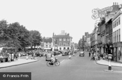
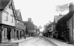
A solitary policeman stands on duty in the middle of the road. The café on the corner of the High Street belonged to Windsor Restaurants Ltd.
Almost an exact repeat of 70425, taken 30 years earlier than this photograph, showing the road entrance to the Embankment on the right.
The old redundant 17th-century bridge over the Test now lies on the north side of the main road.
Crowborough Cross, the intersection of four roads, is situated nearly 245 metres above sea level in Crowborough. Nearby is the Red Cross Hotel (now the Crowborough Cross Hotel).
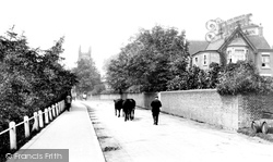
These cattle walking down the Lewes Road were probably heading for the weekly cattle market.
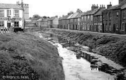
The whole area shown in these two photographs vanished when the new bridge over the river and the new Churchill Road were built to ease congestion in the town centre in 1971.
The Kingsley Hotel (right), named after Charles Kingsley who often came to Whitchurch and was inspired to write of his visits to the town, is now several shop units, but The White Hart across the road is
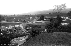
The old Roman road drops steeply down onto the green, via a bridge over the short river from Semer Water, two miles away.
It stands at the top of the steep climb of Bank Road, in the centre of the picture. The Hydro buildings are now the offices of Derbyshire County Council.
We can just see the Ladybower Dam at the end of the reservoir in this view from the Snake Road. The noble escarpment in the left background is Bamford Edge.
It is much more likely to be a 17th- or 18th-century packhorse bridge, used by the 'jaggers' who carried goods by packhorse trains long before the days of metalled roads.
The cobbled entry to the left would become Insall Road, named after a Group Captain Insall, V.C., former commander of the base.
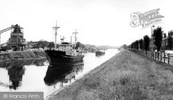
A vessel passes close to Walton Locks and Warrington Wharf before negotiating the Chester Road Swing Bridge.
Facing Undercliff Road are (from left to right) the 1930s Trent's Café; the Town Hall of 1892; the Empire Café; Bent Hill; and the Felix Hotel of 1903, with the Spa Pavilion of 1909 below.
Stramongate is the main approach road into Kendal from the north-east, and means 'the street of the straw men'. St George's Church is in the background.
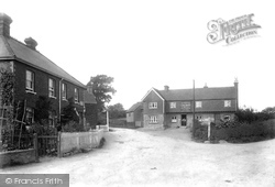
Dunk's Green 1901 Some fine stone and brick cottages and an oast house stand along the road leading towards Mereworth Woods near the village centre of Plaxtol, on the edge of the Ragstone Ridge
This main street was once part of the Roman road which ran from London to Lewes in West Sussex. The legionaries paved it with ragstone eighteen feet wide and seven inches thick.
Barnwood stands on Ermin Street, which was built by the Romans to link the two important towns of Glevum (Gloucester) and Corinium (Cirencester), so the road we see in this picture
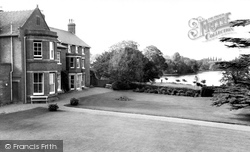
Ellesmere House is beautifully sited just above the main road and overlooking the Mere. The building is now used as a residential home.
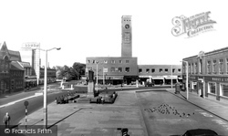
The road system around the Square is beginning to be changed, with one side of the street now closed to regular traffic.
The New Town was to be beautiful, and to work well, with wide tree-lined roads densely planted with trees and shrubs.
This village is on Watling Street at the junction with the Northampton to Warwick Road. The older village, Lower Weedon, is to the south-west of Watling Street.
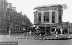
The arrival of motor traffic in Cheltenham meant that road layouts had to be redesigned to facilitate the safe movement of cars and lorries.
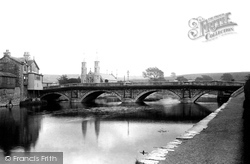
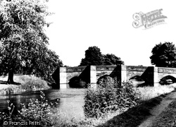
The triangular cutwaters were shaped thus so that at road level they created a pedestrian refuge in which people could stand as horses crossed the bridge.
Places (26)
Photos (14329)
Memories (11058)
Books (5)
Maps (476)


