Places
3 places found.
Those places high-lighted have photos. All locations may have maps, books and memories.
Photos
68 photos found. Showing results 1,201 to 68.
Maps
12 maps found.
Books
15 books found. Showing results 1,441 to 15.
Memories
7,562 memories found. Showing results 601 to 610.
Early 1950s
I was born in Dartord where I lived in Stanham Road until I moved at the age of 9 years. Childhood friends I remember are Anthony Artist, Janet Cork, Michael Burville (not sure of spelling of surname). My next door neighbour was the ...Read more
A memory of Dartford in 1953 by
My Memories Of Selly Oak And Bournbrook
I was born Anne Shirley Crofts back of 622 Bristol Road (opposite where Aldi is now) in July 1944, brother Ronnie was born 1940, sister Vivienne was born 1942, and Alan was born 1947, between Riverton Road ...Read more
A memory of Selly Oak in 1954 by
Home Sweet Home
I lived at Pilgrims Wood. It was a social services children's home in 1979. I was 16 years old. My mother signed me into care at 2 days old until I was 18 years old. I loved the home and the grounds it was in. You could see the ...Read more
A memory of Guildford in 1979 by
Evacuation During The Second World War
During the early years of the Second World War my father was posted to the Royal Artillery camp in Almondbury and when we were bombed in our home in Hull he found a small house for my mother, sisiter and I ...Read more
A memory of Kirkheaton in 1940 by
Gants Hill
I moved to Gants Hill in 1968, from Bethnal Green, at the age of 8. I later moved to Wanstead aged 32. I have great memories of the place, I lived on the Eastern Avenue between Ethelbert Gardens and Beehive lane. Ray Powell was the ...Read more
A memory of Gants Hill in 1973 by
Cobblers Shop Rockingham Road Swinton
My memory relates to the cobblers shop on Rockingham Road, Swinton as this was my grandad's shop, I used to walk down the back way, behind the houses to get to it, it is still a shoe repairers shop. ...Read more
A memory of Swinton in 1967
Lawrence Family In East Molesey
On a holiday from Australia, today my husband and I visited East Molesey & Hampton Court. My mother's paternal family were the Lawrence's - Edward was a master butcher and had a shop in 156 Walton Road (now ...Read more
A memory of East Molesey by
Plough Inn
The Plough Inn, in High Bentham was bought by great grandfather Harold Slinger in the early 1900s. He then refurbished it in to two cottages. Harold Slinger was also the registrar for birth deaths and marriages as I recall. After ...Read more
A memory of High Bentham in 1970 by
Simply The Best
My parents took us to Kilchattan Bay every year from the mid 1960s. As far as my sister and I were concerned we didn't want to go anywhere else but KB. Used to love climbing the Suidhe which was a ritual for all Glasgow ...Read more
A memory of Kilchattan Bay by
Poetry
This poem was sent to mac by Mrs S. Holmes: Death of Chelmsley Wood The sheer delight of summer afternoons, As through the fields in cotton frocks we walked, The long grass licking at our gangly legs, While we in deep contentment ...Read more
A memory of Chelmsley Wood in 1995
Captions
2,501 captions found. Showing results 1,441 to 1,464.
The tiny hamlet of Leigh lies on the east bank of the River Severn, perched on land just high enough to raise it from the floodplain, a few miles north-west of Cheltenham.
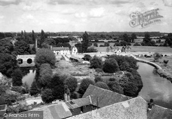
Here we see the river bridges and Nag's Head island, which separates the main river on the right and the back water on its left.
On the south side of this view is the London House store of house furnishers Walter Baker Northover and Son. Colmer's Hill is the distinctive distant hilltop(centre).
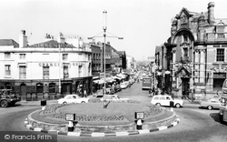
With five roads feeding into it, this famous junction (close to the access to the Queensway Tunnel under the River Mersey) is one of the busiest in the region.
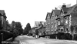
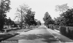
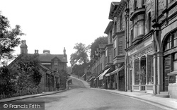
Looking west away from the town centre, with West Bank, a school boarding house on the left and opposite houses built around 1900 (a date on the nearest house is 1901).
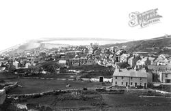
Boats are on the Chesil Beach between Chiswell and Victoria Sqaure (top left), with Portland Harbour on the other side of the pebble bank (centre background), in a panorama north-westwards from Paradise
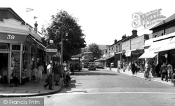
This photograph shows the shops on the other side of the street from E167019. On the comer (right) we have Delbridges. The nearest building on the right was originally Lloyds Bank.
This view is from the same spot as our last photograph, but roughly ten years later. The narrow road has gone, widened in the name of progress.
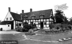
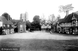
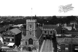
Here we see the heart of what many claim is Kent's prettiest village: the tower of its 15th-century flintstone church of St Mary's looks down on this spacious square lined with half-timbered Tudor and
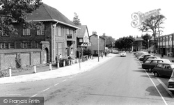
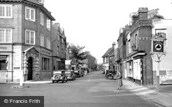
This is the centre of Milford, with the road to Keyhaven and the coast on the right by the Midland Bank.
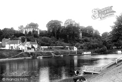
Near the northern end of Pitchcroft, a ferry crossed the Severn to a watermen's inn and a small quay, originally built to serve villages to the west, such as Martley.
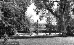
This pond with its island is a most attractive feature in the outer part of the town. While it is somewhat municipalised nowadays, it is very ancient.
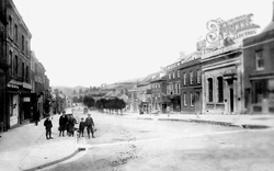
This town can be confusing for the visitor, as not only has it two rivers, but also two High Streets.
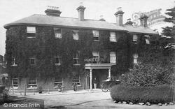
Curiously, as the Skindles Hotel expanded, it was cut in two by Mill Lane (which led to Taplow Mills).
At the crossroads of Market Place and Potter's Street stands the neo-classical Corn Exchange, designed by Lewis Vulliamy, whose original frontage had a grand entrance dominated by a statue of the harvest
Heading north-west roughly parallel to the River Witham, we reach two small towns on either side of the River Bain, which meets the Witham a mile away at Dogdyke.
The village of Hampton is quite compact and largely ignored by those rushing through in their cars.
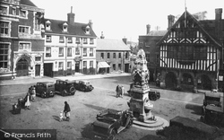
At the east side of the market place was the entrance to Abingdon Abbey.
On the left is Barclays Bank, next to the Rose and Crown, which was gutted by fire in 1969.
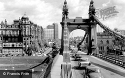
This view shows the Hammersmith bank's suspension tower and the 'chains' in close detail.
The town is named after the grange, or storage place for grain, belonging to the monks of Cartmel Priory.
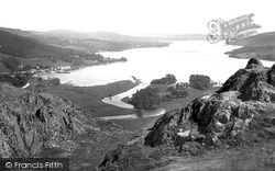
This classic view of England's largest lake was taken from the south end of Loughrigg. Ambleside town is round the corner to the left.
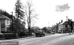
From Brook the route heads to Milford, formerly partially on the A3 London to Portsmouth road but now, mercifully, by-passed - but the traffic is still heavy.
The High Street turns north, and it and the town end abruptly at the River Great Ouse, which flows through meadows liable to flooding.
Places (3)
Photos (68)
Memories (7562)
Books (15)
Maps (12)


