Places
36 places found.
Those places high-lighted have photos. All locations may have maps, books and memories.
- Bangor, County Down
- Newcastle, County Down
- Greyabbey, County Down
- Donaghadee, County Down
- Downpatrick, County Down
- Portaferry, County Down
- Dromore, County Down
- Hillsborough, County Down
- Downings, Republic of Ireland
- Killyleagh, County Down
- Ardglass, County Down
- Rostrevor, County Down
- Dundrum, County Down
- Newtownards, County Down
- Warrenpoint, County Down
- Ballygowan, County Down
- Ballywalter, County Down
- Ballyward, County Down
- Bishops Court, County Down
- Boardmills, County Down
- Culcavy, County Down
- Katesbridge, County Down
- Killough, County Down
- Millisle, County Down
- Portavogie, County Down
- Saul, County Down
- Seaforde, County Down
- The Diamond, County Down
- Audleystown, County Down
- Kearney, County Down
- Annaclone, County Down
- Ballyhalbert, County Down
- Ballymartin, County Down
- Clare, County Down
- Conlig, County Down
- Dollingstown, County Down
Photos
856 photos found. Showing results 1,141 to 856.
Maps
459 maps found.
Books
2 books found. Showing results 1,369 to 2.
Memories
8,167 memories found. Showing results 571 to 580.
Old Southall Remembered
I lived in old Southall (Norwood Road - Norwood Green end) during the 1960s to the 1990s and have seen great changes. I went to school at Clifton Road, and the school had a great Headmaster, Mr Hancock, for a while. One ...Read more
A memory of Southall
Warners
As a young child I can remember several holidays taken at the Warners holiday camp at Seaton. The serious business of 'motoring down to Devon' was never taken lightly, lunch was prepared the night before to be eaten at Stonehenge, where ...Read more
A memory of Seaton in 1965 by
Lament On A London Landing
. When I was a gusty young airman So many seesaw sunny days Were spent with blue girls on Marlborough Downs Our only access, a path both straight and narrow, Thinnest and steepest in its final assent. Emotions ...Read more
A memory of Burderop Park in 1964 by
Happy Days
Oh the memories stored away!! Charlie's opposite Cove Green, going there for sweeties on a Sunday, Cove Green (not as good as Tower Hill swings though!), Mundays closing at 1pm on Sundays, Thorntons with its yellow facade, and wool etc, I ...Read more
A memory of Cove in 1965 by
Life As A Kid
I used to go to Usworth Park to play football or go bird nesting down the planton at Waterloo. I also used to go round collecting bottles to take back to shop and get the money for the pictures. We had 3 picture houses in ...Read more
A memory of Washington by
I Met And Then Married My Blind Date At Alton
I remember as a 16 year old that I was a patient in the Lord Mayor Treloars Hospital, ward 1. I was considered to be a long term patient who was having knee surgery. I had to stay in bed for six weeks, ...Read more
A memory of Alton in 1975 by
Boarding School, Harcombe House.
In 1956 I went to Harcombe House as a boarder. Mrs Jowett was in charge of us - 52 girls. Crocket did the gardens and lived in a cottage on the lane, as did cook. Matron and the housemistress, Miss Haytor, lived in. ...Read more
A memory of Uplyme in 1956 by
South Ockendon
We too lived on this street, half-way down on the left in fact. I remember the Spicers, I used to babysit Christopher.
A memory of South Ockendon by
Gladstone Park
Our family moved from Churchill Road, Willesden to the country right out to Dudden Hill, in Normanby Road. The entrance to the park was just down the end of the road near the old iron bridge. There was a rather short ...Read more
A memory of Hendon in 1961 by
Captions
2,242 captions found. Showing results 1,369 to 1,392.
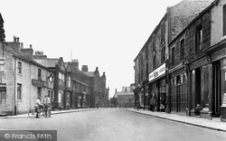
Church Street leads down to St. Mary-le-Gill church.
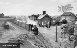
The Tal-y-Llyn railway was used originally between 1866 and 1946 to haul slate from the Bryn Eglwys quarry at Nant Gwernol down to Tywyn Wharf station.
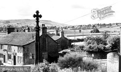
From the elevated position of St Andrew's Church we look down the Aire Valley, where now a dual carriageway leads into Keighley.
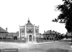
The church was pulled down to make way for new development which did not take place, although at the present time a decision on planning consent is being anticipated.
Moving north, the route climbs onto the North Downs to Headley and the Cock pub, now called the Cock Horse.
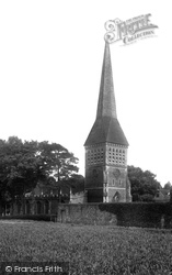
The tower with its tall lancet windows divided by louvres and its broach spire, designed by Henry Woodyear in 1862, blew down in 1947.
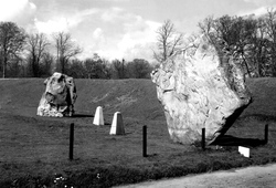
The impressive lozenge-shaped stone came from a surface outcrop of sarsen stones (the word sarsen derives from Saracen, and means stranger) which can be found on the Marlborough Downs about two miles away
The lane curves gently down towards the ornamental lake at the foot of the hill. CORFE CASTLE, From the Church
We are looking south-west down Crofts End, the lane which leads from Crofts End itself at the top of the hill behind the photographer to the main through road.
Northleach lies between Cheltenham and Burford, and most of this former wool town's buildings date from Tudor and Jacobean days.
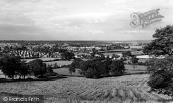
We are looking down on Daventry from Newnham Hill, a view that has been changed by a pink rash of housing estates as the town rapidly expanded from its comfortable 5000 in 1955 to around
In the days when trading wherries plied their way up and down the rivers, transporting goods from the East Coast sea ports, or from one town to another, Beccles, set alongside the marsh-lined River Waveney
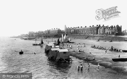
Ladies would take to the water from the bathing machines rolled down to the water's edge.
This historic, red, sandstone market town suffered at the hands of the Scottish raiders down the centuries—its castle is now little more than a ruin. It nestles under the wooded slopes of the Beacon.
Now further down Bridge Street, Frith's photographer was looking south uphill past the Newcastle Street crossroads.
Down the street lies the aptly-named Locomotive pub.
As we move further down the main street, no less than three hotels are now in view: the Queen's peering round the corner (centre left), the impressive White Lion and the more humble Royal
Bridge Street curves down to the river. A variety of architecture is to be enjoyed here, from red brick houses to timber-framed cottages.
The van (right) is driving down Fanhams' Hall Lane from Ware, and may be about to turn left past Appleton Farm and Baker's End.
Although old coaching inns like the Fountain would have lost a certain amount of long-distance business with the development of the railways, they were still used as the pick-up and set-down points for
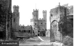
There was direct access between the hall and the Chamberlain Tower, as well as steps leading down to a postern opening towards the Seiont.
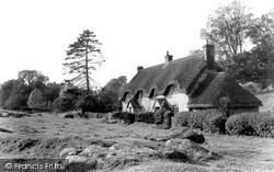
In fact these huge blocks slithered down the sides of the hills after the last ice age, and have sometimes been mis- taken for resting sheep.
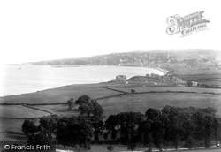
The view is southwards across Swanage Bay to Peveril Point (centre left) and Peveril Downs (central skyline) on the other side of the town.
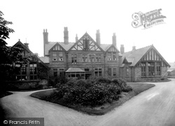
It was designed by James Wilding, a Liverpool man who was associated with a number of buildings in the town and who also played an important part in the development of Runcorn Hill as a park once the
Places (198)
Photos (856)
Memories (8167)
Books (2)
Maps (459)

