Places
26 places found.
Those places high-lighted have photos. All locations may have maps, books and memories.
- Cemmaes Road, Powys
- Six Road Ends, County Down
- Road Weedon, Northamptonshire
- Severn Road Bridge, Gloucestershire
- Roade, Northamptonshire
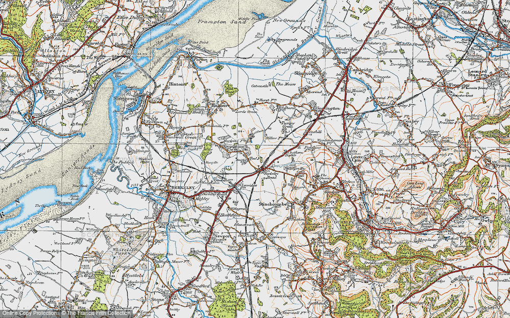
- Berkeley Road, Gloucestershire
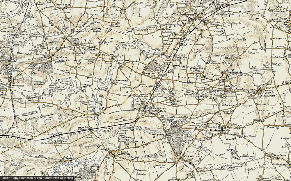
- Harling Road, Norfolk
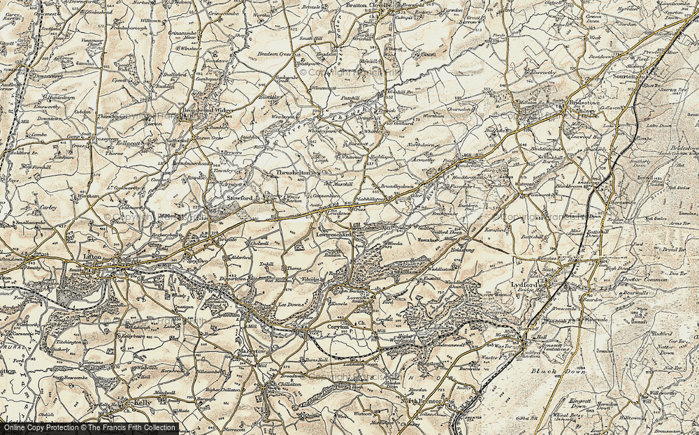
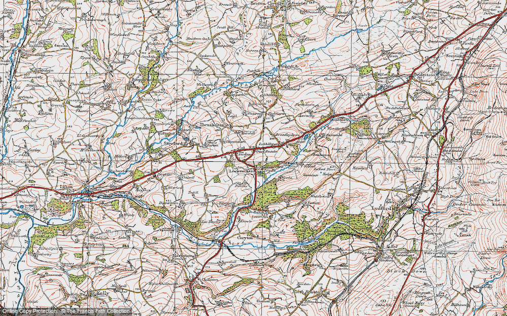
- Road Green, Devon
- Builth Road, Powys
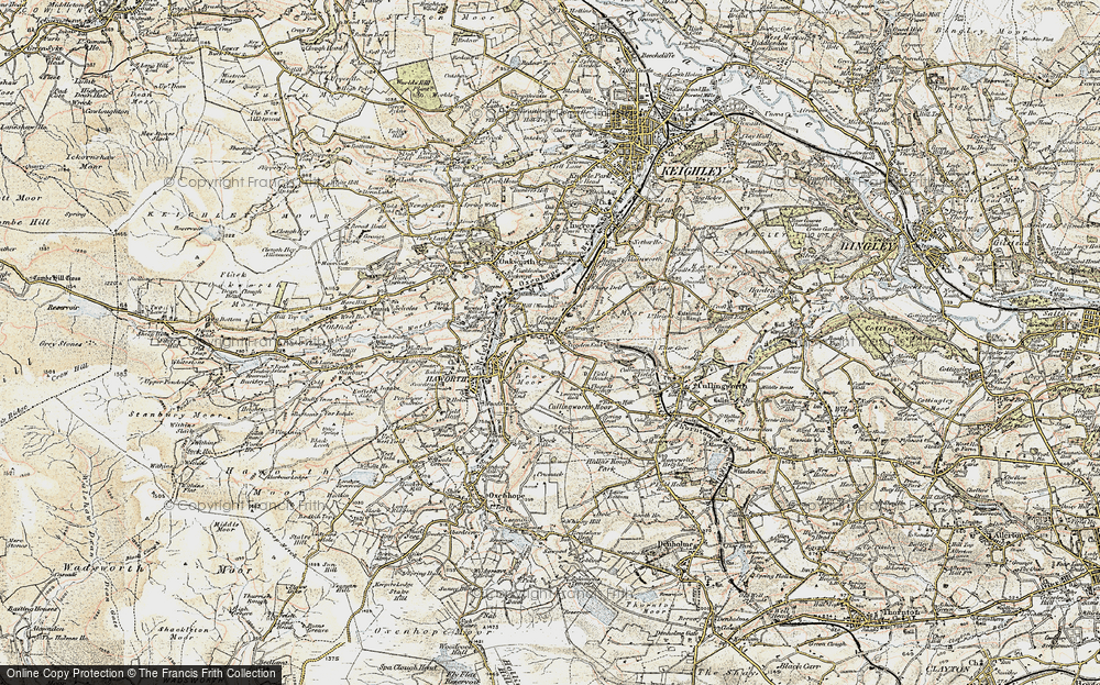
- Cross Roads, Yorkshire
- Steele Road, Borders
- Cross Roads, Devon
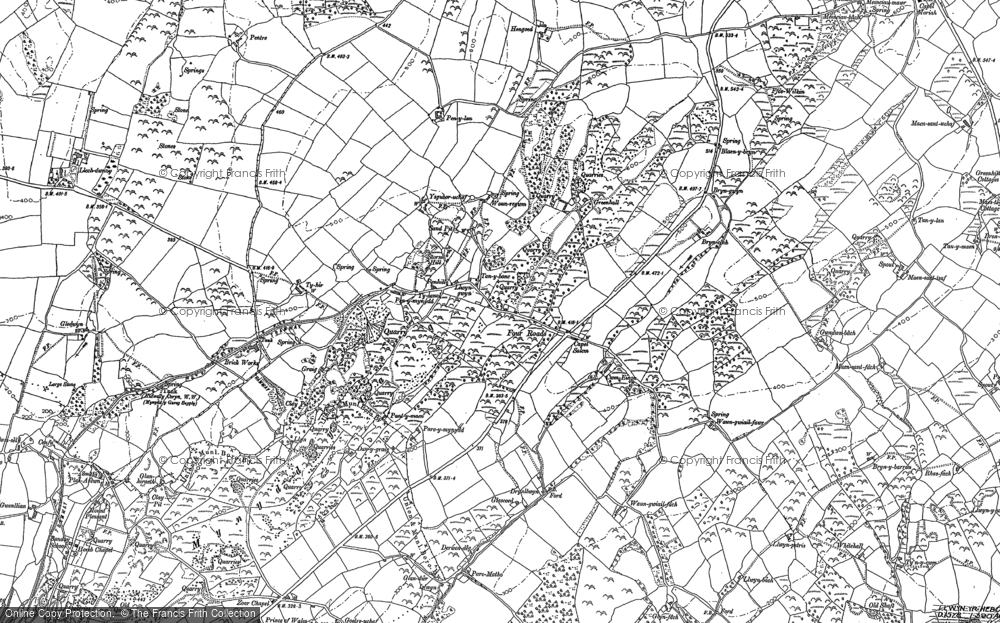
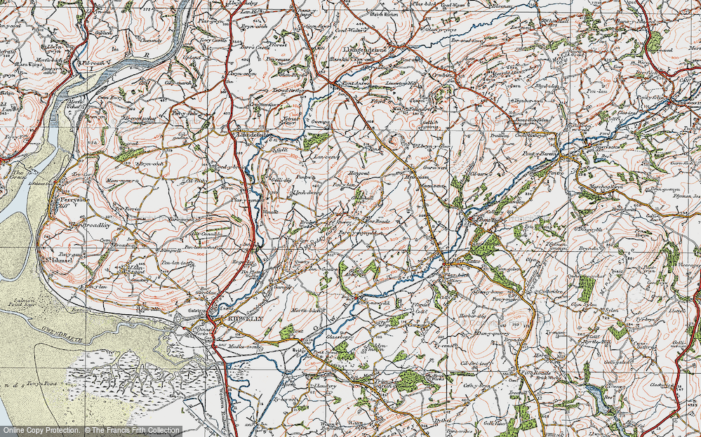
- Four Roads, Dyfed
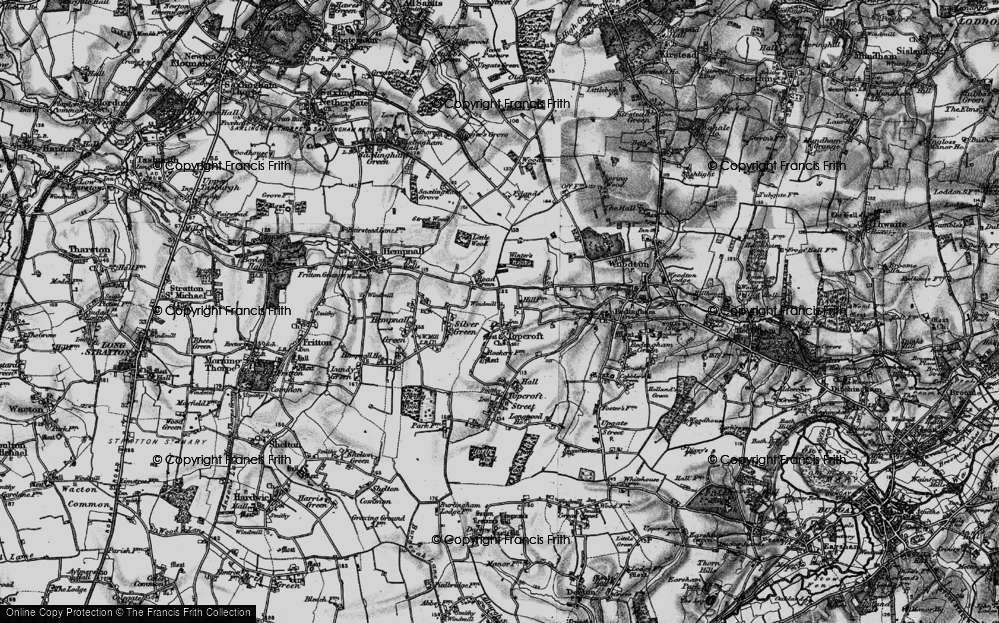
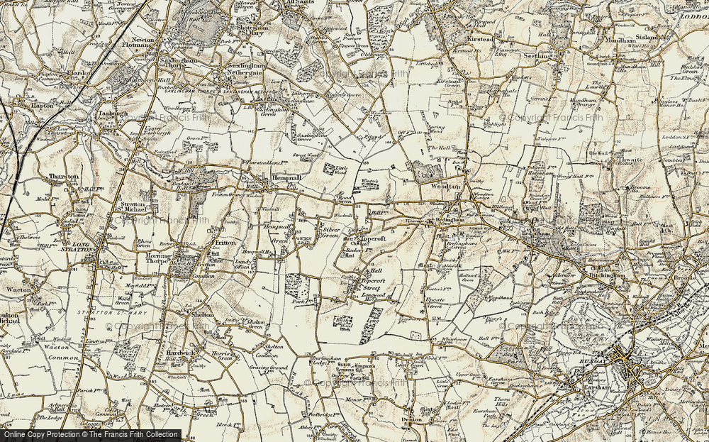
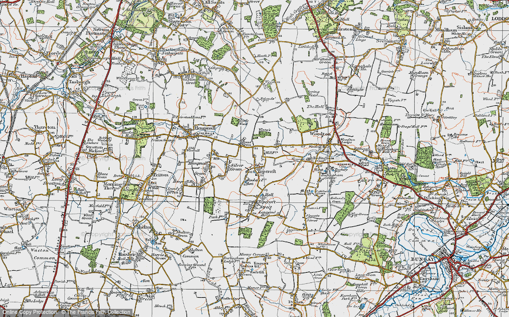
- Road Green, Norfolk
- Biggar Road, Strathclyde
- Clarbeston Road, Dyfed
- Five Roads, Dyfed
- Eccles Road, Norfolk
- Grampound Road, Cornwall
- Morchard Road, Devon
- Wood Road, Greater Manchester
- Four Roads, Isle of Man
- St Columb Road, Cornwall
- Clipiau, Gwynedd (near Cemmaes Road)
- New Road Side, Yorkshire (near Silsden)
- New Road Side, Yorkshire (near Cleckheaton)
Photos
14,329 photos found. Showing results 61 to 80.
Maps
476 maps found.
Books
5 books found. Showing results 73 to 5.
Memories
11,058 memories found. Showing results 31 to 40.
The 50s And 60s
I lived with my parents, Ralph and Joan, "Bindy" and sister Judy, on Birchway, off Ack Lane East, then we moved to 17 Atholl Road. There were several families with children who my sister and I spent a lot of time with - Johnny ...Read more
A memory of Bramhall by
A Wonderful Time
My family and I lived at 157 Wilmslow Road, it had just been built so all of us who lived on the road moved in around the same time, and it was a wonderful. My parents George and Thelma Goddard, had the three of us then, Georgina, ...Read more
A memory of Handforth in 1955 by
Eric Smith''''s Greengrocer''''s 21 Lordship Lane Se22
My Dad, Eric Smith, opened a Greengrocer's shop at number 21 Lordship Lane in 1962. At that time there was a traditional butchers shop one side and a grocery shop the other side. Opposite was a piano ...Read more
A memory of Dulwich in 1962 by
Born In Ilford
Ilford Town Hall is on the corner of Oakfield Road where I lived throughout WW2. The public Air Raid Shelter we used to sleep in was opposite the Town Hall in Oakfield Road. A very large department store called Moultons was opposite, ...Read more
A memory of Ilford in 1940 by
Not Uplyme Mill
The picture titled "Uplyme Mill 1892" is incorrect. The location is Lyme Regis and is called Higher Mill along the banks of the River Lym in an area known as "Monkeys Rough" locally, opposite the original "Jericho" and "Paradise ...Read more
A memory of Lyme Regis in 1890 by
The Causeway Looking Towards St Mary's Church
This is before the road was made up. The main property to the right was three dwellings and is now one, known as Minstrells. A lamp post remains in the same position but the property is now tile hung.
A memory of Horsham by
Read Brothers
My mother and father worked for Mr Read between 1966 and 1987, most of the time around the Hall Road shop but later in the mid to late 1980's also up in the High Street shop, which has been pulled down and a new shop built. Mr Read ...Read more
A memory of Aveley in 1970 by
Is This The Causeway
It does not look like the Causeway to me. At the time of the photos, 1898, this road was fully populated with the exception of the Vicarage Garden. The photo shows open field so is perhaps one of the lanes leading up to Denne Park, beyond the Causeway or Denne Road.
A memory of Horsham by
My Memories Of Broadstone
My earliest memories of Broadstone stem from about 1937 when I was five years old. We lived in Southbourne at the time and frequently went to Broadstone at weekends to visit my "aunt Flo" and her family who lived at ...Read more
A memory of Broadstone by
The Mchugh Family Nbsp 1963 1965
Hello all, my name is Terry McHugh Junior, as I am apparently the first to hit this site I will share with you my early childhood memories of that lovely village in Yorkshire, Eppleby. We moved into Eppleby in ...Read more
A memory of Eppleby by
Your search returned a large number of results. Please try to refine your search further.
Captions
5,036 captions found. Showing results 73 to 96.
The catalyst for the subsidiary settlement mentioned in the caption to N203006 was the building of two turnpike roads through Northfield, one of which was eventually to become the A38 (Bristol Road). A
This scene, looking north along Banks Road from the corner of Eaton Road, has changed very little in recent years. There is still a newsagents on the corner with Alexandra Road on the left.
The road on the right is Cornhill leading onto Acreman Street. The houses on the left are no longer there, having been demolished in the 1950s.
Just off Main Road, Junction Road lies sufficiently distant from the hubbub of the market and town centre to provide a tranquil setting for tasteful town villas.
The railway line to Huncoat and Burnley crosses the road here.There was at one time another line down to Rawtenstall, joining what is now the East Lancashire Preserved Railway.As well as having three
Today a ring road loosely follows the line where the old city walls once stood, criss crossed with radial roads.
Where Heath Park Road (on the right) meets Brentwood Road and Slewins Lane (in the centre), meets Manor Avenue and Balgores Lane (on the left), is the Drill public house.
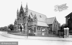
The Trinity Weslyan Methodist Chapel, on the corner of Mawney Road and Linden Street, was built in 1888 and provided seating for 750 worshippers.
The road is now divided, with crossing places for pedestrians.
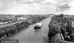
Having negotiated Latchford's locks, the viaduct and the swing bridge, the 'Salford City', about to pass under the High Level Bridge, moves on to close the bridge carrying the busy A49 London Road, which
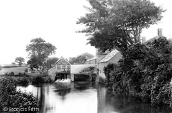
East Mill and its mill pool, looking eastwards from the north bank of the River Asker towards houses beside East Road (centre).
The catalyst for the subsidiary settlement mentioned in the caption to N203006 was the building of two turnpike roads through Northfield, one of which was eventually to become the A38 (
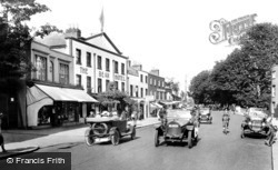
Again cars dominate the 1921 scene, this being the main A4 London to Bath road until the by-pass was built in the 1960s.
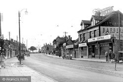
This view from the Lord Rodney Hotel looking towards Central Station shows the increase in road signs and road markings necessary with the growth of road traffic in the 1960s.
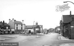
Ardleigh Green Road reaches the Southend Arterial Road (A127) and beyond is Squirrel's Heath Road heading for Harold Wood.
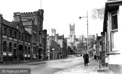
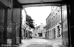
The archway frames the old coach road from London. In 1435 fire consumed the town, leaving little but the Church and Priory. Across the road, the Angel's medieval College Inn was ashes.
The A272 is the right-hand road, with St Wilfrid`s church in the distance, whilst the left-hand road leads to the junction with Boltro Road and further on, over the railway, reaches the
During the 18th century, the roads Cherry Bounce, Chapel Street, Bell Road (now St Mary's Road), and George Street were all developing on the east side of the of the High Street and were in
West of the Market Square the road divides: the left hand road goes to Long Sutton, the right fork heads for Langport.
On the west bank of the Taw, this view shows the old road (left), and new one (right). The houses to the right are Ladysmith Villas, named after the second Boer War siege (1900). They still stand.
Today this road has far more traffic than a solitary horse and cart. The buildings on the right stand at the junction with Belmont Road, and are now the Belmont Inn.
A considerable transformation from the scene at the turn of the century, with the macadamised road surface, traffic lights and road islands now channelling the cars and lorries.
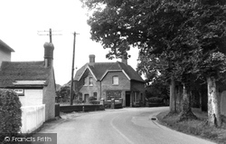
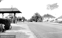
This is the old Eastleigh Road, and we can see the post office and the telephone kiosk on the left. We are looking towards the old oak tree, which is just out of sight at the end of the road.
The village, with its partner Wyton, developed along the road leading from Huntingdon to St Ives.
Places (26)
Photos (14329)
Memories (11058)
Books (5)
Maps (476)


