

Historical Maps Centred on Your Postcode
A selection of fascinating historical products centred on a postcode of your choice.
In addition to our standard maps shown under most locations on our web site, we can create map products centred on your own postcode! Not all map products are available for all UK postcodes.

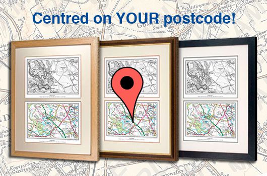
Dual Historical Map Prints
Compare the 19th-century age with that of today. Two maps centred on your postcode showing how the landscape has changed from the early 1800s to the modern day.
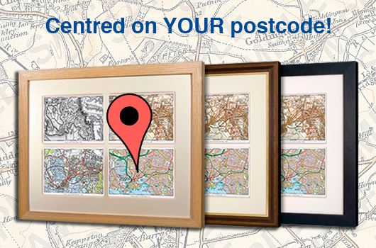
Quad Historical Map Prints
The ultimate survey - four Ordnance Survey maps showing how the landscape has changed from the early 1800s to the modern day. Centred on a postcode of your choice.
Postcode Centred
All Departments
- Photo Prints
- Sheet Maps
- Old Maps
- Calendars
- Postcode Centred
- Photo Books
- Jigsaws
- Mugs
- Cushion Covers
- Tea Towels
- Gift Cards
- Wallpaper
Contract Furnisher?
Trade discounts available!

Shopping with us


