Captions
233 captions found. Showing results 1 to 20.
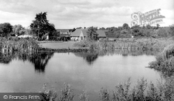
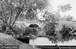
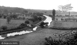
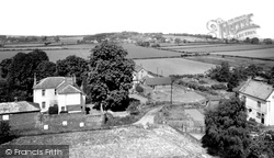
Burford sits right on the county boundary with Herefordshire - the boundary is defined by the River Teme at this point.
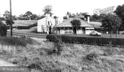
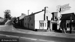
Parish boundaries cross and re-cross with those of Myerscough and Barton - one boundary cuts through the bowling green of the Roebuck Inn, as it was known in earlier days.
Along the Sywell Road, from the 1950s on, closes of expensive houses were built within the park boundary, retaining many of the specimen trees.
The parish boundary runs along the river, and was formerly the county boundary too, for Welford was in Gloucestershire until 1931.
It served the Sutton New Town development to the east of Manor Park up to the Carshalton parish boundary.
At one time the county boundary, now defined by the River Tamar two miles to the north, ran between the two villages, and the old boundary stone can still be seen beside the road.
Local government boundary changes brought Leighton Buzzard and Linslade together into the town of Leighton- Linslade and placed them both in Bedfordshire.
The parish boundaries meet here with those of Myerscough and Barton; indeed, one boundary cuts through the Roebuck's bowling green.
The line of the paling on the left marked the boundary of the old Borough of Petersfield.
Hocombe Road is the northern boundary of Hiltingbury, and indeed of the borough.
In 1951 the Borough of Swindon purchased Penhill Farm, which lay in the parish of Stratton St Margaret, just outside the borough boundary north of the town, for housing.
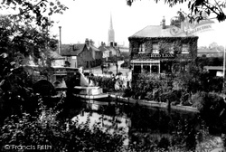
The medieval bridge, built about 1340, crosses the Wensum into Bishopgate, which continues around the Cathedral boundary until it becomes Palace Street.
The medieval bridge, built about 1340, crosses the Wensum into Bishopgate, which continues around the Cathedral boundary until it becomes Palace Street.
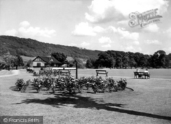
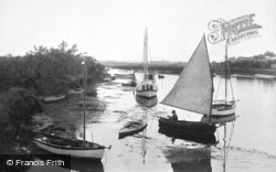
With rose beds, trees and the river Wye on its boundary, it is small wonder that this is such a popular place.
At one time straddling the county boundary with Huntingdonshire, Everton was listed as Euretone in the Domesday Book.
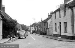
Close to the county boundary, Roydon retains a timeless air.
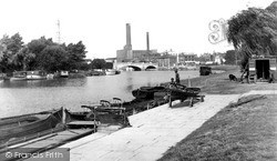
Over the Town Bridge, which forms the old county boundary, the power station has been replaced with a shopping centre.
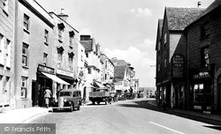
Tetbury lies near the boundary of Gloucestershire and Wiltshire on the long stretch of high road between Stroud and Malmesbury.
Not far beyond the town the journey through Dorset ends as the boundary of Hampshire is reached.
As to the rest of the photograph, the cottages are now one dwelling but even the boundary walls have changed little in over a century.


