Places
36 places found.
Those places high-lighted have photos. All locations may have maps, books and memories.
- Pentre-cwrt, Dyfed
- Pentre Halkyn, Clwyd
- Pentre, Mid Glamorgan
- Ton Pentre, Mid Glamorgan
- Pentre, Powys (near Llangynog)
- Pentre, Powys (near Guilsfield)
- Pentre, Powys (near Bishop's Castle)
- Pentre, Dyfed (near Pontyates)
- Pentre, Powys (near Newtown)
- Pentre, Clwyd (near Mold)
- Pentre, Clwyd (near Ruabon)
- Pentre, Shropshire (near Chirk)
- Pentre, Clwyd (near Hawarden)
- Pentre, Clwyd (near Chirk)
- Pentre, Clwyd (near Ruthin)
- Pentre, Clwyd (near Mold)
- Pentre, Shropshire (near Oswestry)
- Pentre, Powys (near Welshpool)
- Pentre, Clwyd (near Mold)
- Pentre, Shropshire (near Forton)
- Pentre Broughton, Clwyd
- Pentre Gwynfryn, Gwynedd
- Pentre Maelor, Clwyd
- Pentre-clawdd, Shropshire
- Pentre Galar, Dyfed
- Pentre Llifior, Powys
- Pentre-cefn, Shropshire
- Pentre-Gwenlais, Dyfed
- Pentre-Poeth, Dyfed
- Burntwood Pentre, Clwyd
- Pentre Berw, Gwynedd
- Pentre Hodre, Shropshire
- Pentre Llanrhaeadr, Clwyd
- Pentre-celyn, Clwyd
- Pentre Cilgwyn, Clwyd
- Pentre Morgan, Dyfed
Photos
98 photos found. Showing results 2,641 to 98.
Maps
316 maps found.
Books
2 books found. Showing results 3,169 to 2.
Memories
1,253 memories found. Showing results 1,253 to 1,253.
Captions
3,593 captions found. Showing results 3,169 to 3,192.
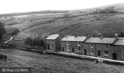
Situated at the head of the valley of the East Allen, Allenheads was an important centre for the lead-mining industry from the late 18th to the mid 19th century; the mines here produced around 14 per
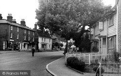
The large black poplar tree in the centre of the photograph was cut down in 1962, as it had become a hazard.
Cobham stands on Watling Street and was once a busy market centre.
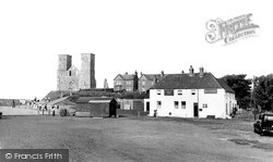
The towers are open to the public, and there is a small interpretation centre about the history and natural history of the area.
This money was earmarked to construct new churches in centres of growing populations. (A secondary motive was to combat the growing non-conformity movement).
This was the entertainment centre of the town. Around Ward's End were many cinemas and theatres. The Electric Theatre opened as early as 1910, the Coliseum (now a dance hall) some ten years later.
During the 19th and early 20th centuries, Staithes was a fishing port of some standing, a centre for cod, haddock and mackerel, but it fell into decline with the development of steam trawlers, which tended
The roof of the station no longer bears the white lettering, and the building is almost a mile from the town centre itself.
Telegraph poles carry the wires from Cobb hamlet to the town, which begins at the Bay Private Hotel (centre).
Across the inner basin from the quay (right) beside the Cobb Warehouses is the 17th-century North Wall (centre), which protects the harbour from easterly gales.
The building glimpsed to the left of centre with the white pediment and the tower is the old fire station built in 1922; the tower is its practice fire- fighting tower surmounted by a siren
The Town Hall and the Market Hall stand out at the centre; the large building to the right of the Market Hall is Samuel H Facey & Son's brewery, which opened in 1862.
John rebuilt it before his death in 1624, at the age of eighty, and his magnificent tomb is inside, although the bodies of Sir John and his wife were later transferred to Rainham because of water penetration
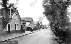
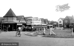
This is the village centre, and it holds very special memories for the author.
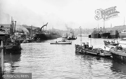
Almost hidden in the centre background is one of the tugs belonging to Lambton Collieries and identified by its funnel colours of black with three red horizontal stripes.
This is the village centre, and it holds very special memories for the author.
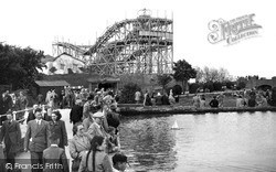
Whether you tried the cockles, crabs, mussels, prawns, shrimps or whelks at the Oyster Bar (centre left) before or after you had the ride was entirely up to you.
St Michael's Church, demolished in the next century to make room for a car park, can be seen in the centre.
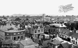
across to St Mary's Church clearly shows a variety of architectural styles, including the unusual curved rear of the Town Hall on the left, the ornate gabled roof the Wiltshire Friendly Society building (centre
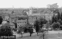
In the distance is the town centre church of St Alban and St Michael, 1933, by Sir Giles Gilbert Scott, a pleasing design with its lantern tower and simple Gothic detailing.
Besides cloth making, the town became a centre for the manufacture of agricultural machinery; this was thanks to Robert Ashton Lister, who set up his firm in 1845.
Angell Town was an estate of 1850s Italianate villas, mostly semi-detached, built on curving roads centred on St John's church, whose 1853 tower is crowned by four pinnacles.
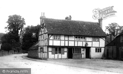
The name of the 16th-century half-timbered Grantley Arms in the centre of the village reflects the former dominance of the family whose seat was at nearby Wonersh Park.
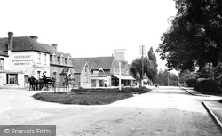
The Onslow Arms, whose signboard stands at the roadside (centre), is an obeisance to the Onslow family who made their first home here.
Places (57)
Photos (98)
Memories (1253)
Books (2)
Maps (316)


