Merry Christmas & Happy New Year!
Christmas Deliveries: If you placed an order on or before midday on Friday 19th December for Christmas delivery it was despatched before the Royal Mail or Parcel Force deadline and therefore should be received in time for Christmas. Orders placed after midday on Friday 19th December will be delivered in the New Year.
Please Note: Our offices and factory are now closed until Monday 5th January when we will be pleased to deal with any queries that have arisen during the holiday period.
During the holiday our Gift Cards may still be ordered for any last minute orders and will be sent automatically by email direct to your recipient - see here: Gift Cards
Places
36 places found.
Those places high-lighted have photos. All locations may have maps, books and memories.
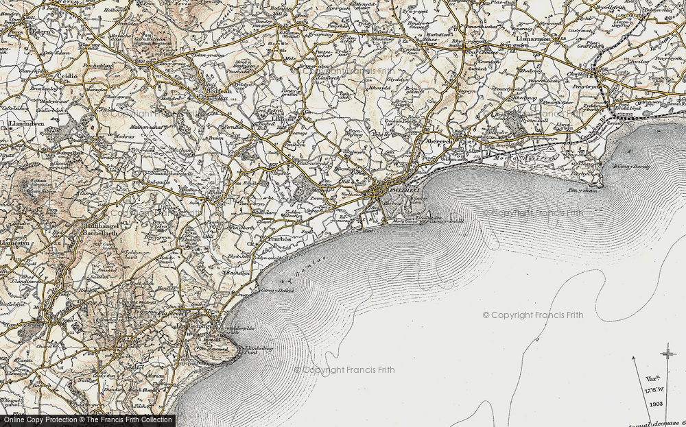
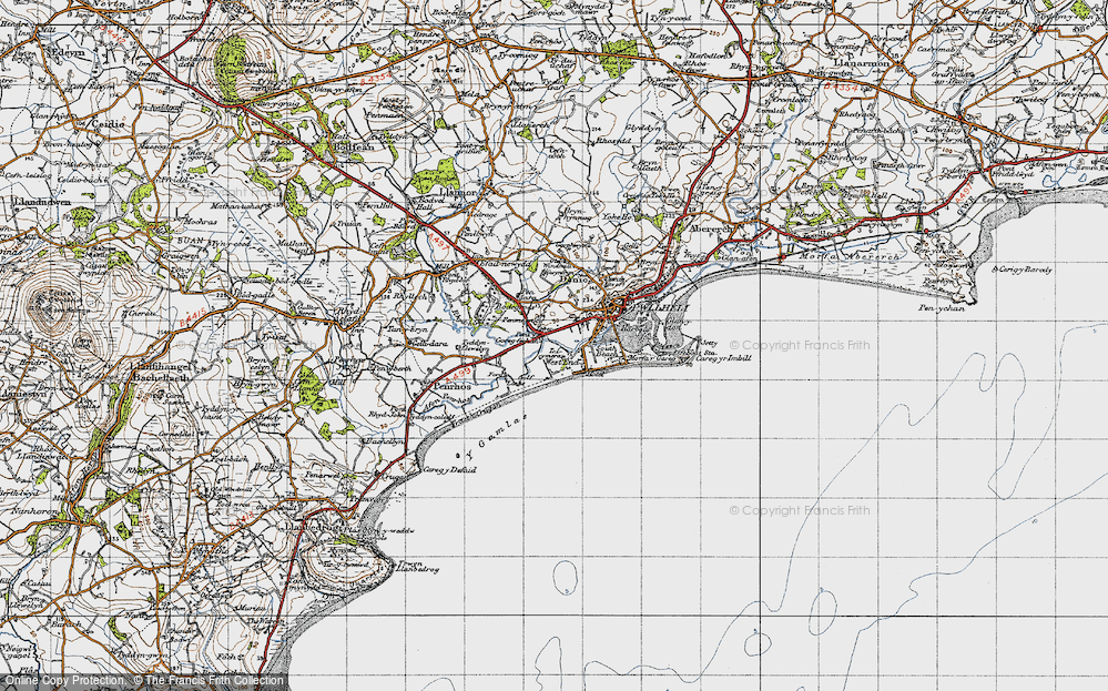
- West End, Gwynedd
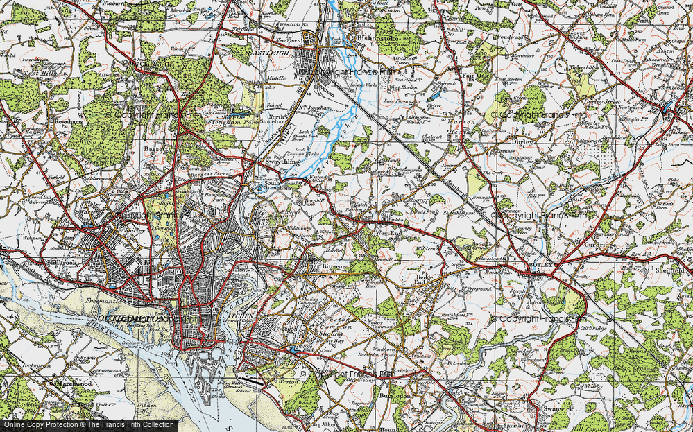
- West End, Hampshire (near Southampton)
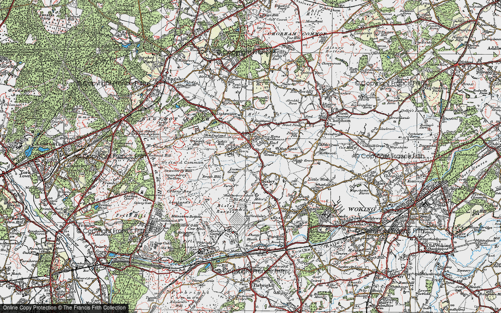
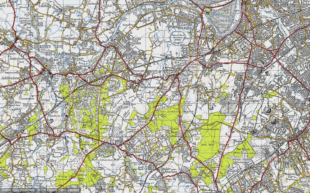
- West End, Surrey (near Camberley)
- West End, Hampshire (near Medstead)
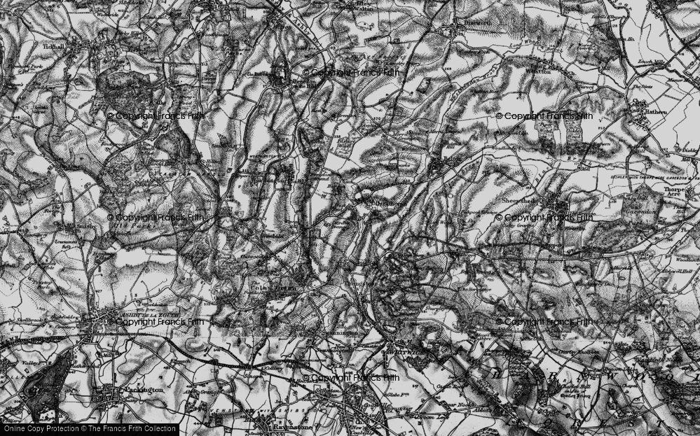
- West End, Leicestershire
- Ward End, West Midlands
- Shard End, West Midlands
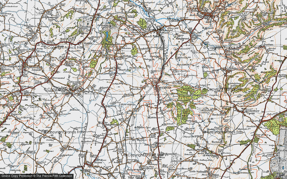
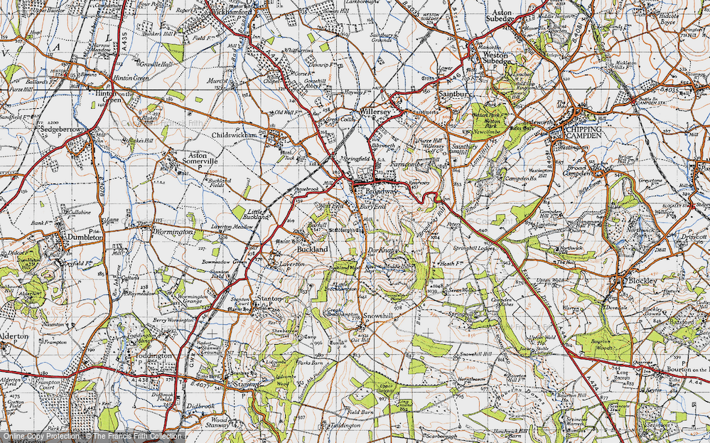
- West End, Gloucestershire
- West End, Dorset
- West End, Strathclyde
- West End, Mid Glamorgan
- West End, Gwent
- West End, Hertfordshire
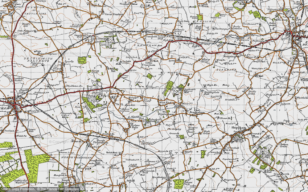
- West End, Suffolk
- West End, Sussex
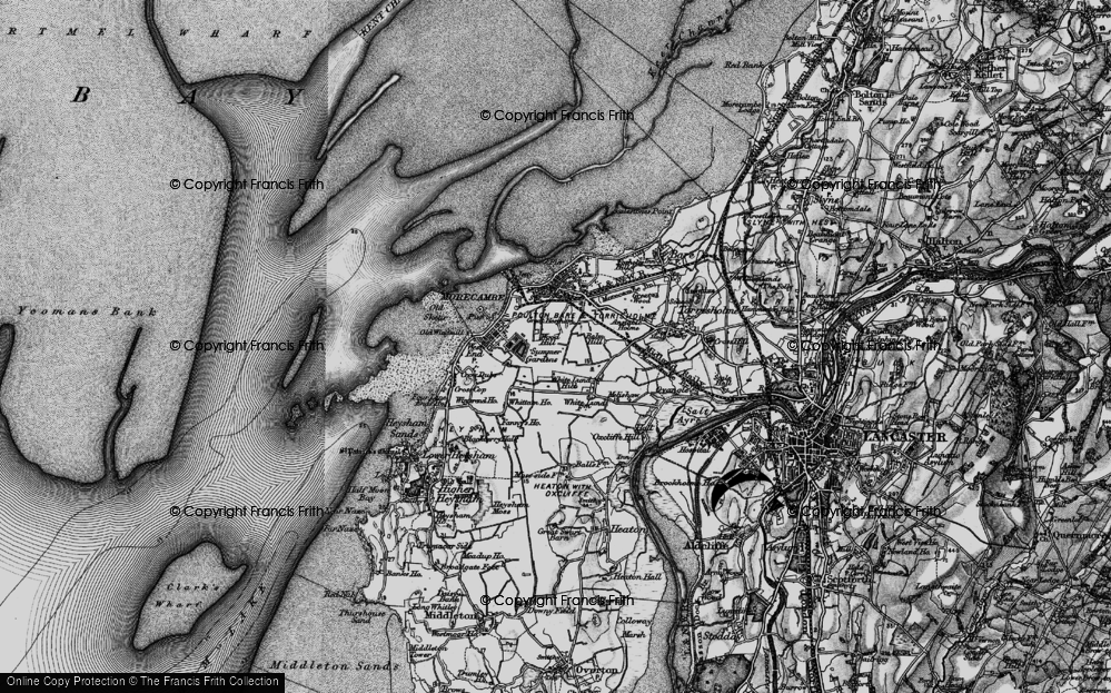
- West End, Lancashire (near Morecambe)
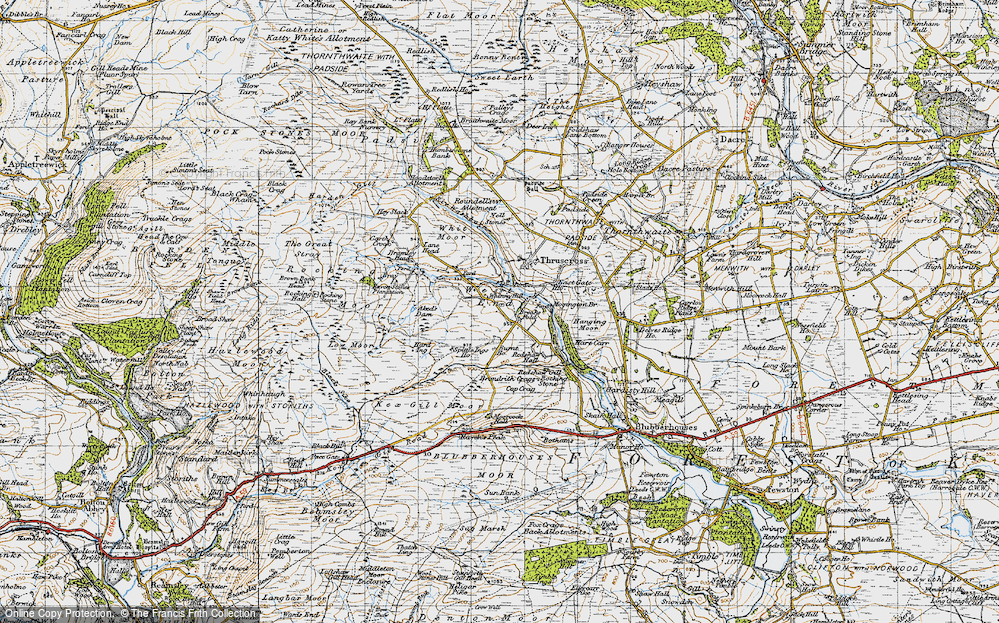
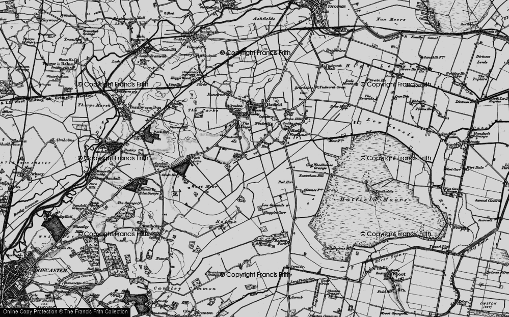
- West End, Yorkshire (near Tadcaster)
- West End, Avon (near Nailsea)
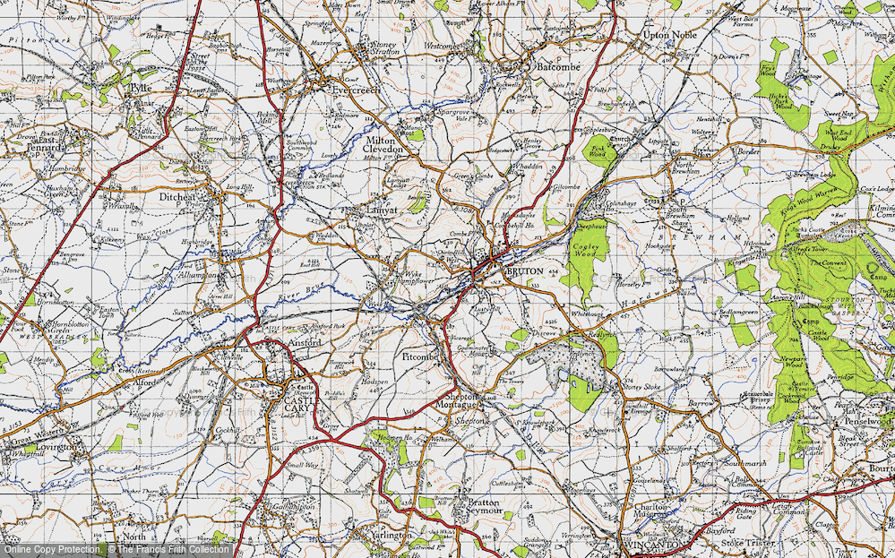
- West End, Somerset (near Wells)
- West End, Oxfordshire (near Wallingford)
- West End, Berkshire (near Wokingham)
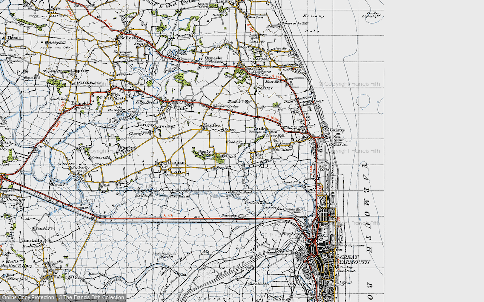
- West End, Norfolk (near Great Yarmouth)
- West End, Bedfordshire (near Great Staughton)
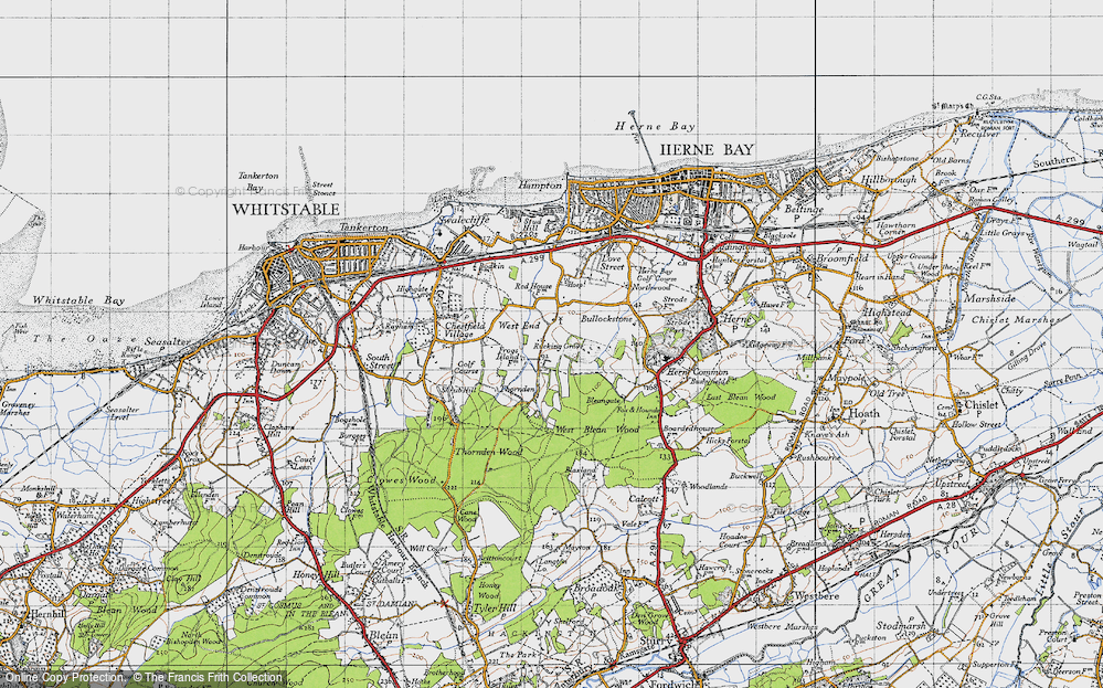
- West End, Kent (near Sittingbourne)
- West End, Yorkshire (near South Cave)
- West End, Avon (near Yate)
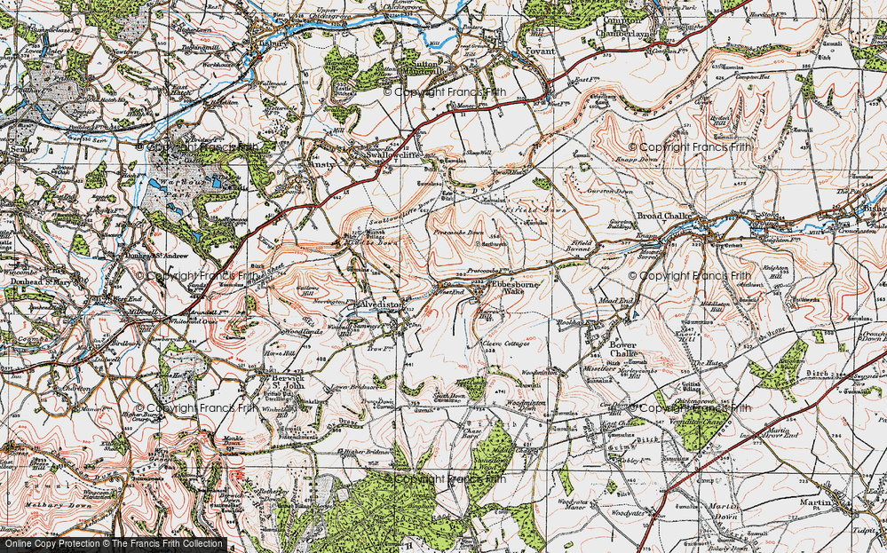
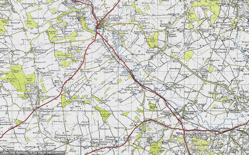
- West End, Wiltshire (near Shaftesbury)
- West End, Wiltshire (near Bowerchalke)
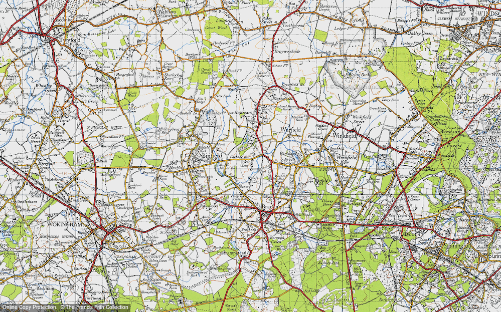
- West End, Berkshire (near Bracknell)
- West End, Yorkshire (near Driffield)
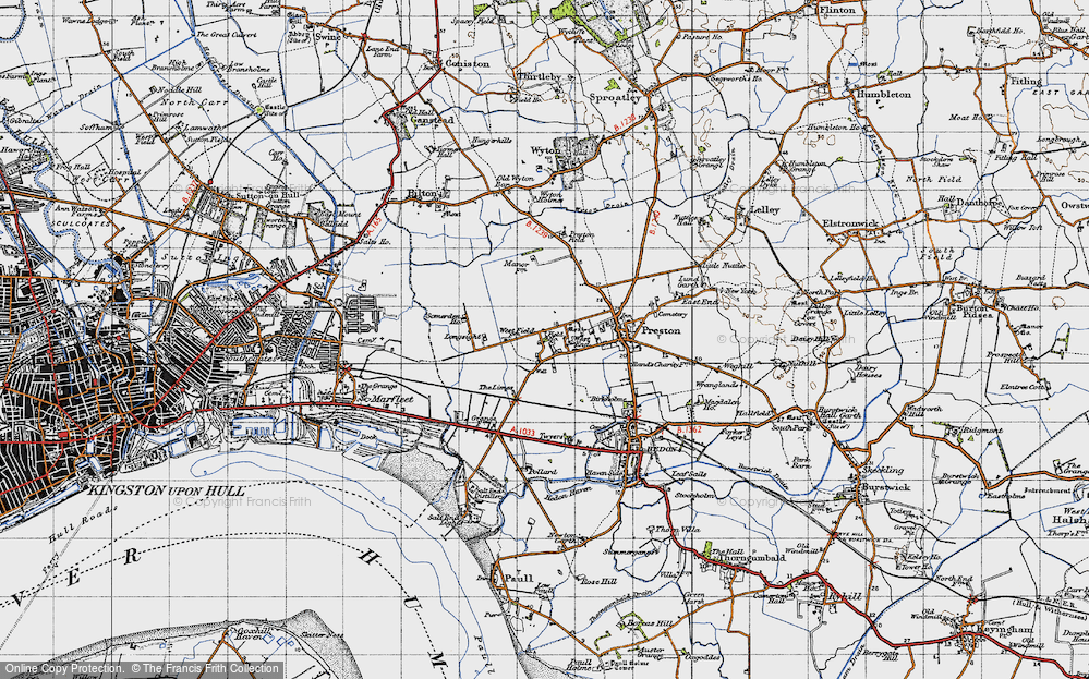
- West End, Yorkshire (near Hedon)
- West End, Lincolnshire (near Boston)
- West End, Cumbria (near Carlisle)
- West End, Yorkshire (near Cleckheaton)
- West End, Yorkshire (near Horsforth)
- West End, Oxfordshire (near Hardwick)
Photos
279 photos found. Showing results 101 to 120.
Maps
1,651 maps found.
Books
19 books found. Showing results 121 to 19.
Memories
2,057 memories found. Showing results 51 to 60.
Old Work Mates
I am trying to get in touch with men I worked with at Langley Park Pit where I worked with my pit pony, pulling tubs of coal out of Wembley West from the coal face. Where men such as; George Garforth and Jacky Lawton were coal ...Read more
A memory of Langley Park in 1958 by
Marianne Thornton School
I went to Marianne Thornton school from the day it was built until I left in 1961. I used to be at Elmfield School in Balham but they had this new school built on the West Side of Clapham Common. I moved from ...Read more
A memory of Clapham in 1961 by
The Dry Ponds
As a lad I can remember walking with `our gang` across from the High Street side of the ponds, under North Street bridge & walking out under the chain on the West Street end on the other side of the war memorial. We went there ...Read more
A memory of Carshalton in 1940 by
East Ham Memories
I was born in Plashet Grove in 1951 but shortly moved to 146 Milton Avenue until moving away from the area in 1967. So many memories. Happy days playing in Plashet Park, 30 a side football in Milton Avenue with a case football ...Read more
A memory of East Ham in 1951 by
Hounslow 1970's
I was born in West Mid Hosp and we lived in Worton Way which was technically Isleworth but very close to Hounslow High Street. Our surname was Pritchett. I went to Spring Grove Infant School in Star Road from 1962-1969 and then ...Read more
A memory of Hounslow by
Steve Storey The Postman.
My father, Steve Storey, was the postman for East and West Harlsey in the 1960's and 70's. I used to walk up to the village with him in the late 60's to do the afternoon postal round in East Harlsey. I remember the ...Read more
A memory of East Harlsey in 1960
Bradley, Bilston And Stowlawn
I managed to enter the world in Lord Street, West Bradley, 1944. I attended St Martins and earliest I can remember lived in a prefab in Moxley (Castleview Road). After St Martins I attended Stonefield school. Moved to ...Read more
A memory of Tipton by
A Small Childs Memorys Of North Seaton
I was born Patricia Gowans in 1957. My mam was Ettie Humble, my dad was John Gowans and we lived 3 Third Single Row with my nana and grandad Gowans. My dad worked at the pit till it closed, then he went ...Read more
A memory of North Seaton in 1961 by
Davidson Road
I remember the road very well; I went out with a young lady who lived in the road and went to the school, although she left in 1948. I met her at a club in West Croydon where she and her sister went in the evenings. Their names were ...Read more
A memory of Croydon in 1950 by
West Felton
My great grandmother and father were born in West Felton in the 1880's and married in the Church in 1901. Gt grandad was Cornelius Lewis, he left the village in 1901 and was living in Llangollen with his half sister and ...Read more
A memory of West Felton in 1900 by
Captions
1,993 captions found. Showing results 121 to 144.
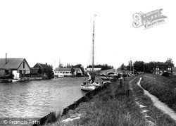
Here we see sailing boats and dinghies alongside the River Thurne, with G Applegate's boatbuilding sheds on the west bank.
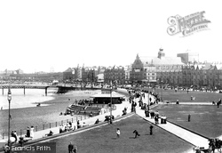
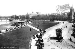
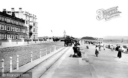
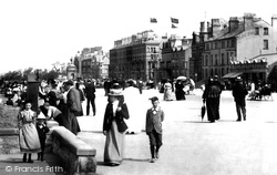
Horses tread the tramway along Pwllheli's busy promenade at Marian-y-mor (then known as West End). The tramway had opened two years earlier, in 1896, and was closed in 1927.
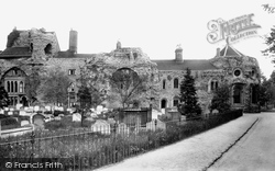
Houses had been built into the central arches of the west front by at least the 1660s. The Norman-style windows to the right date from 1863, when this wing became the Probate Registry Office.
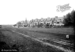
The rails here are presumably a siding, for the Tavistock line ran across the picture a little way past the far end of the terrace, while the Princetown branch curved round to the south (left, well out
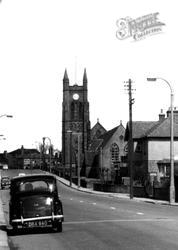
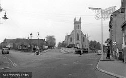
St John's Church, built in 1858-9 by Morphew & Green and with its west gable-end facing out onto the road junction, dominates this cross-roads towards the top of the hill.
At the west end of Lumley Road there were a few shops in 1899, but the view is utterly transformed now from Roman Bank, a reference to the old Roman sea wall.
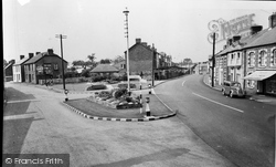
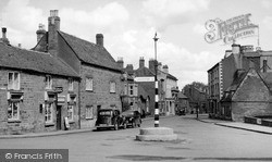
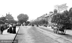
This view looks east as in U10017 (p37) from the area known as the West End. Here, the High Street splits into three roads: to Leicester; to South Back Way and to Stockerston.
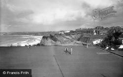
The two-mile-long parade overlooks the sandy beach; at the west end an extensive area was laid out as winter gardens.
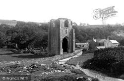
Shap Abbey, near the banks of the River Lowther, was founded by the 'white canons' of the Premonstratensian order at the end of the 12th century, but it was dissolved, like so many others, in 1540
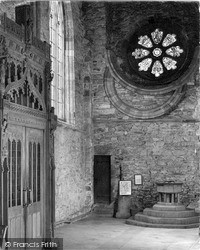
The interior has again been drastically re-ordered, including the construction of a stage at the west end from which the fine Norman font emerges incongruously.
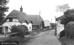
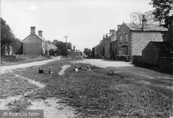
Before the Second World War this was regarded as the most remote village in the county, with its cottages and houses straggling along the western side of its long green.
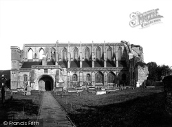
In 1903 the main south wall of the abbey was built up to the ruined west front, and repairs to the roof and buttresses on the north side and east end were undertaken.
Kirkgate (its name comes from the Danish words for 'church way') is seen here from the west end of the cathedral.
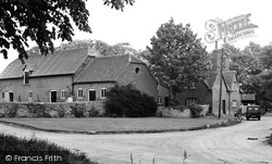
A little north of the High Street Junction, off Abingdon Road, is Gravel Lane, which has a number of farm buildings on each side at its west end.
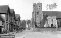
At the foot of the tower, a vaulted passageway extends right through it, enabling processions to take place around the west end of the church without leaving consecrated ground.
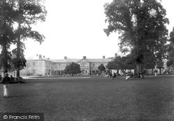
The County Lunatic Asylum was first built a little to the west of the town in 1820 to the design of the Plymouth architect John Foulstone.
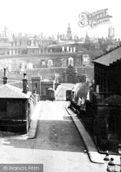
These gates were known as ports and were called the Stable Green Port (north), the Gallowgate Port (east), Brig Port (south) and Trongate Port (west).
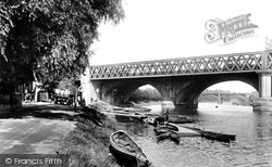
Here we see the river bank of the Ribble just west of the main railway bridge at the end of South Meadows.
The main body of the church dates back to the 13th and 14th centuries, and was here in 1180.
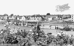
to the east, this building is now part of the Corby Health Complex, which includes the Lakeside Surgery and an occupational therapy/health centre, both out of view to the west.
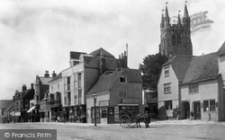
Behind the pony trap on the right we can glimpse Hiley's Restaurant (now the Nat West Bank), noted for its shilling dinners.
Petworth House was re-built at the end of the 17th century; it incorporated a 13th-century chapel and undercroft that was already on the site.
Skeeby was once on the trade route from the Great North Road to Richmond, just two miles further west.
This crossing is at the east end of Bury Road, with No 58 visible through the trees, just west of the traffic lights and junction of the roads from Bury and Norwich.
Places (99)
Photos (279)
Memories (2057)
Books (19)
Maps (1651)


