Places
8 places found.
Those places high-lighted have photos. All locations may have maps, books and memories.
Photos
4 photos found. Showing results 181 to 4.
Maps
53 maps found.
Books
Sorry, no books were found that related to your search.
Memories
792 memories found. Showing results 91 to 100.
The Milk Bar In South Street
We used to go in there often, and I remember one time being very confused when asked whether I wanted lemonade, cherryade, limeade or Whipsnade, 'cause I knew that was a zoo and I didn't quite get the idea of puns. ...Read more
A memory of Dorchester in 1974
Marching On The Green
I used to live in Niton Road, Richmond from 1946-67 until I married and moved to Kent. I joined the Girls Life Brigade when I was 5 years old and left when I was 12. In that time we used to practice our ...Read more
A memory of Richmond by
Gren Man Pub Wormley West End
Family research. Robert Akers owned the Green Man Pub in Wormley West End in the 1700s. I would appreciate any information on the pub concerning exact location, pictures or just general information. Many thanks
A memory of Cheshunt by
Armagh 1957 Onwards
I get a lovely glow when I think of my dear Armagh in the 1950s. Life seemed so good and simple then. I would spend my days roaming free letting my imagination grow as children do. I played down in the river by the Legar ...Read more
A memory of Armagh in 1957 by
My Childhood Days Brynna Boy
8 Southall Street /16 Tan-y-Bryn. We, the Brynna Boys, used to run to school, Mr & Mrs Davies Head Master and thei two daughters, strict and friendly, firm and kind. I can only describe those happy days, Coronation ...Read more
A memory of Brynna in 1953 by
Plumpton Close
My grandparents Jack and Beral Storey lived at 8 Plumpton Close with their kids Ricky, Stevie, Sharon and Darrell. My dad was Stevie who sadly passed away in 1980. I spent every weekend at my nan's and have great memories like ...Read more
A memory of Northolt in 1977 by
Little Sutton Shops Chester Road
Hi ,can anyone cast their minds back to the shopping area in Little Sutton where there is a very tiny car park on the A41, the shops that are there now are Cheshire Building Society, chemist (Westminster ...Read more
A memory of Little Sutton by
Early Years
I was born in 1967 in Tipton. I lived close to Victoria Park and have fond memories of sitting on the witch's hat swing which when looking back was sooo dangerous but fun. The metalic slide, made slippy from greased bread wrapping ...Read more
A memory of Tipton in 1967
Living On Cornfield Road
I had lots of friends to play with up on the green and also the woods where we used to ride our push bikes or swing on the big rope swing over the sandy bank. I even fell off and broke my arm. I also broke my jaw falling ...Read more
A memory of Reigate in 1975
Happy Memories Of South Woodford
My family lived in Hillcrest Road, South Woodford from 1960 to 1973. I had a very very happy childhood there (am still happy though) but had to move to Brighton to attend a deaf school and to avoid the need ...Read more
A memory of South Woodford in 1965 by
Captions
357 captions found. Showing results 217 to 240.
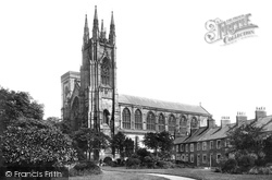
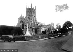
This church is worth a visit and the east window by Morris and Co, as late as 1912, should not be missed. The nave and aisles date from about 1210 with a later square-topped tower.
One local resident of two centuries ago was Philip Salkeld, who won the Victoria Cross at Delhi in 1857.
After crossing the ancient causeway known as the King's Highway (which runs from Belsars Hill at Willingham to Aldreth), we reach the green at Haddenham and the road to Ely.
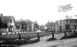
The about-turn view of the last picture, this shows the unmistakable path beaten across The Green to the Queen's Head.
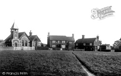
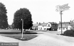
Initially a hamlet, the village of Barns Green dates from the Middle Ages, but grew rapidly during the 18th and 19th centuries following the opening of the Mid-Sussex railway line.
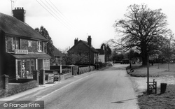
Looking across the green, on the right-hand side we can see the boot and shoe shop of the Foord family, and in the centre the butcherís shop of H J Harvey.
Number 20 Hutton Village, the house on the left-hand end of the terrace, was extended during the early years of the 20th century and almost doubled in size.
Whereas Glasgow Green had been a part of the common grazing land of the burgh since the earliest times, the greening of Glasgow really began in 1852 when the city acquired the estates of Woodlands
It remains one of the leafier suburbs, though in 1936 the city council destroyed much of its appeal by demolishing the lovely old cottages which clustered round the green.
The survival of the green helps Tettenhall retain just a hint of its village character, though it is very much part of Wolverhampton now.
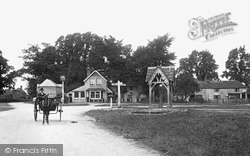
Another iron-making village, situated on a tributary of the River Mole, Leigh (pronounced 'Lye') is centred on this demure, triangular village green with its covered pump.
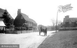
A pony and trap stand on the main road which passes by the foot of the green on the left, around which are the tile- hung yeomens' cottages and the village pub.
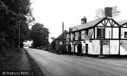
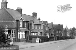
When this view was taken, the road was the A30 to the west country and already notorious for delays during the summer.
The Green was the traditional site of the Feast, which featured a procession led by a brass band.
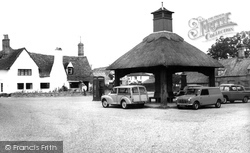
The memorial shelter and clock tower were erected to the memory of G W Brown by Mr Whymper in 1902. We cannot see the clock; it was made by J R Ingram of St Ives.
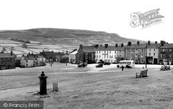
Here we see the extensive village green at Reeth, the largest village in Swaledale.
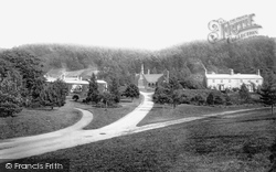
To the right of the picture are the Hall, now the Crown Inn, and the church. Behind the war memorial is Church House, the former Guildhall.
One mile inland is the church of St Mary, which includes the nave of the Augustinian priory founded here in 1119 by Walter de Gant.
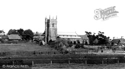
St Margaret's Church occupies a commanding position, which gives some panoramic views over farmland and around the town.
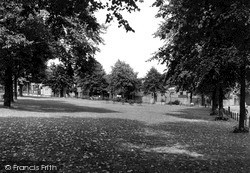
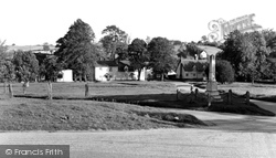
Back at ground level, this view looks across the pond near the church, past the railings alongside the A283 to the houses on the south side of the Green.
The memorial seat commemorates the six agricultural labourers who met beneath the sycamore tree (centre) in 1834, and were transported to Australia for taking an illegal oath during an initiation
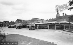
Until the 1960s, most people relied on public transport, and the green-liveried buses of United Counties carried workers and shoppers in and out of town on busy timetables.
As its name implies, this small town is the westernmost in Kent, almost on the border with Surrey.
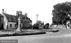
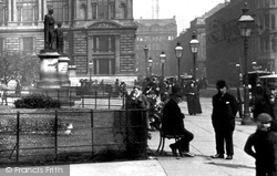
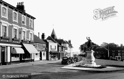
This shows the war memorial on the corner of Kingsbury Street which leads to The Green.
Places (8)
Photos (4)
Memories (792)
Books (0)
Maps (53)

