Places
2 places found.
Those places high-lighted have photos. All locations may have maps, books and memories.
Photos
3 photos found. Showing results 321 to 3.
Maps
29 maps found.
Books
1 books found. Showing results 385 to 1.
Memories
1,365 memories found. Showing results 161 to 170.
Crompton County Secondary Modern School. (T''central)
t'Central stood at the junction of Kings Road & Moor Street, almost on the bend.Compared to the junior school it seemed very modern and had only been open about twentyfive years. It had a ...Read more
A memory of Shaw in 1947
Chelmsford, Tindal Street, 1919
This shows the view looking up Tindal Street from the London Road end. In the centre of the photo you can see a sign sticking out. This you can just make out is the Spotted Dog public house which was there until ...Read more
A memory of Chelmsford by
Sentimental Journey April2011
I finally fullfilled a lifetime dream to visit Raughton Head, in particular the church where I was baptised in in September 1944 ie All Saints' Church. During the blitz of the Second World War my father decided ...Read more
A memory of Raughton Head in 1944 by
The Day We Topped Out £12m New Leisure Centre In Wednesfield!
£12m Wednesfield Leisure Pool. It has been a very big week for both myself and Mary, we have attended 11 individual events as well as trying to hold the day jobs down! On Monday ...Read more
A memory of Wednesfield by
My Memories Of Chandler's Ford, Approx. L934/5
In the spring/early summer of 1935 I was admitted to Chanderr's Ford Sanitorium for treatment of tuberular glands in the neck. I spent six months there and have some happy memories of feeding ...Read more
A memory of Chandler's Ford in 1930 by
Welsh Girl From Six Bells
Born in Abergavenny in Dec/ 1951. Brought home to my Nanna's house who we lived with in 1 Lancaster Street where my family lived. Dad worked down the six bells pit at the time, and I have fond memories while I was ...Read more
A memory of Six Bells in 1958 by
Gas Works Also Public Baths In Adderley Road Saltley
I lived in Ash Road Saltley, you could see the Gas Works from our back garden. My dad worked there for years, he used to stand on some steps and wave to me. I also remember the public baths in ...Read more
A memory of Saltley in 1957 by
Name Change
Interesting to see the photo entitled "Solva, Middle Hill". The village shown here is known as "Middle Mill" and the mill (on the River Solfach) is in the centre behind the bridge.
A memory of Solva by
Growing Up In Lower Belvedere
My first real memory of Belvedere was that of starting school at St Augustines Primary around 1954. I can recall a wind up gramaphone which the teacher would frantically wind up to keep the music playing, even a ...Read more
A memory of Belvedere in 1950 by
Earl Shilton
My memories are of Earl Shilton and similar to those of Eric Johnson. I started at Earl Shilton Infant School in 1959 and the headmistress was called Mrs Cloe. When I was in her class she would read Brer Rabbit books to us at the ...Read more
A memory of Earl Shilton by
Captions
918 captions found. Showing results 385 to 408.
We can see the squat tower of St Bartholomew and All Saints' church rising over the roofs. Note the railings underneath the Town Hall, which have now been removed.
To the left we can see the former toll house where the highwayman Dick Turpin stabled his horse Black Bess. Byron, Keats, Shelley and later Dickens all drank here.
Before clean air acts and the decline of the cotton industry, the only time people could see the Lancashire hills across the Mersey Basin was during Wakes week.
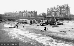
Here we see the marriage of bathing machines and fishing boats under the imposing gaze of the Grand Hotel.
This was the place to come to see the 'Queen Elizabeth' and the 'Queen Mary' - among other great liners from the great days of ocean-going travel.
The bridge is the railway bridge over the River Ribble, and we can see the far bank clearly.
The bridge is the railway bridge over the River Ribble, and we can see the far bank clearly.
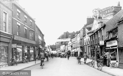
We can see the Midland (HSBC) Bank to the front right and the National Provincial (NatWest) to the far left.
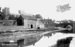
In this view of the stone-walled canal basin we see the cathedral rising over the roofs, and the old arched bridge.
During the last century it has attracted tourists as much for its parkland as the house itself; many come to see the magnificent oak tree named Billy Wilkins by local people.
Beyond and slightly to the right of the Town Hall we can just see the spire of Rochester Cathedral.
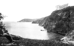
Here we see the coastline between Porthpean and Gerrans Point. Phoebe's Point is midway. A local boy provides interest on the left, but would he have appreciated this unspoilt view?
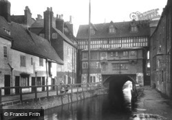
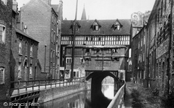
In this view we see the largely rebuilt High Bridge buildings with the brickwork and stonework still looking fresh.
In this view we see the largely rebuilt High Bridge buildings with the brickwork and stonework still looking fresh.
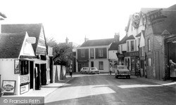
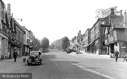
In West Street we can see the old-established retailers Farncombe, the local butcher (centre), and Greenfield's (right).
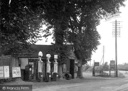
A cup of tea (see the sign beyond the pumps) can still be purchased here too – there is now a Little Chef on the site as well.
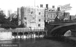
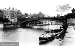
Nearby we can see the York Water Works Offices.
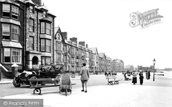
Here we see the town's newly-built lodging houses and seaside villas, with an early motor car on the left in front of the Belgrave Hotel. Well-dressed holidaymakers stroll along the seafront.
Nearby we can see the York Water Works Offices.
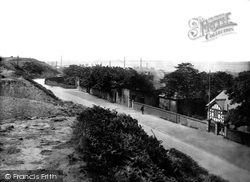
In the distance it's possible to see the industrial area of Weston Point. Much of the stone from the quarries used to be taken to Weston along linking tunnels which pass beneath Weston Road.
Here in the right foreground we see the Tolsey building raised on columns, with its broad clock projecting from the gable.
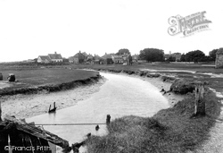
We can see the house with a large chimney stack in both photographs. The tidal river is the remains of the Dunwich river, diverted in the storms of 1289.
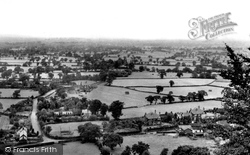
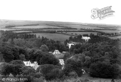
Here, looking across the valley to the northeast, we can see the 19th-century St Luke's Church; in the centre, at the bottom of the valley, is the Exmoor Forest Hotel.
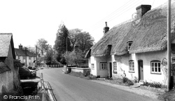
Wallop means 'valley of the stream,' and if we look closely we can just see the Wallop brook on the left of the road.
Places (2)
Photos (3)
Memories (1365)
Books (1)
Maps (29)

