Places
26 places found.
Those places high-lighted have photos. All locations may have maps, books and memories.
- Cemmaes Road, Powys
- Six Road Ends, County Down
- Road Weedon, Northamptonshire
- Severn Road Bridge, Gloucestershire
- Roade, Northamptonshire
- Berkeley Road, Gloucestershire
- Harling Road, Norfolk
- Road Green, Devon
- Builth Road, Powys
- Cross Roads, Yorkshire
- Steele Road, Borders
- Cross Roads, Devon
- Four Roads, Dyfed
- Road Green, Norfolk
- Biggar Road, Strathclyde
- Clarbeston Road, Dyfed
- Five Roads, Dyfed
- Eccles Road, Norfolk
- Grampound Road, Cornwall
- Morchard Road, Devon
- Wood Road, Greater Manchester
- Four Roads, Isle of Man
- St Columb Road, Cornwall
- Clipiau, Gwynedd (near Cemmaes Road)
- New Road Side, Yorkshire (near Silsden)
- New Road Side, Yorkshire (near Cleckheaton)
Photos
14,329 photos found. Showing results 541 to 560.
Maps
476 maps found.
Books
5 books found. Showing results 649 to 5.
Memories
11,058 memories found. Showing results 271 to 280.
Looking Back At My Life Growing Up, And Working In Fareham Plus More.
Leaving Southampton Road School in 1954, I started working on the outskirts of Titchfield for Sanders & Sons in their tomato glass houses, which was a good working start for me. ...Read more
A memory of Fareham by
I Was In Hutton Poplars Childrens Home.
From the age of 3 until I was 15 years of age I was in Hutton poplars I was in Humber House Mr and Mrs Healy were in charge. I then after some years in Humber House was transferred to Windermere House with Mr ...Read more
A memory of Shenfield
Great Kingshill 1968 1982
Hi we moved to Great Kingshill in 1968 from Edmonton in N London. We also lived in Wood Green N. London. I remember my first impression of our new surrounds were not great. I suppose moving from London to a village ...Read more
A memory of Great Kingshill by
Living In Addlestone In 1976
I lived in Addlestone above a shop 178 Station Road. I remember the day the old signal box was taken down to be replaced by automatic barriers. Once the signal box had been removed there was an enormous mound of tea ...Read more
A memory of Addlestone by
Whiteheath Gate
I remember as a child visiting my Aunt and Uncle, Nellie and Ernie Cutler, they used to run a pub back in the forties and fifties I believe. For many years I have searched to find any mention of them around the Rowley ...Read more
A memory of Whiteheath Gate
Cordingley Braintree County High School (Bchs)
I was a pupil at BCHS from 1958-63 and have painful memories of him, albeit possibly unfairly. During a 3rd year biology lesson our female teacher regaled us of pranks she had undertaken at Uni which ...Read more
A memory of Braintree by
Indoor Market
My grandmother owned the wool shop in the market and I came over every summer and we used to get beautiful fresh baps from the bakery across the road for our lunch and fill them with ham. The market holders were always good craic especially the boys in the fish stall
A memory of Wembley
Memories Of Sutton Lodge, In Sutton Lane—Just South Of The Great West Road, Heston/Hounslow
Recorded by Nicholas Reid, Canberra, Australia. I was christened in the Anglican church at Heston in 1959, though for obvious reason I don’t have any memories ...Read more
A memory of Heston by
Southall Memories
My parents, who came to England from India in 1955, when I was 3 months old, moved to Southall in 1959, from Whitton, when I was 4. I remember Southall Broadway at that time-there was actually a saddlery business there! C. ...Read more
A memory of Southall by
School Days And After
I lived on the Shelley estate at 12 Crispsey Avenue and went to the primary school in Ongar town near the town hall. Later I went to the new primary school on the Shelley estate on Milton Crescent. On the Moreton Road ...Read more
A memory of Chipping Ongar by
Your search returned a large number of results. Please try to refine your search further.
Captions
5,036 captions found. Showing results 649 to 672.
It stood on the corner of Station Road and St Mildred's Road, known by older villagers as Vicarage Lane.
Providing a mixture of both residential and commercial property, Peabody Road was still enough part of the shopping centre to be able to boast Curzon and Son's betting shop, Tottles' newsagents, the
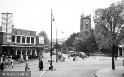
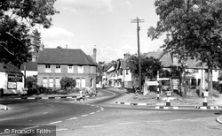
Today the road traffic is much busier, so pedestrian-operated traffic lights are now installed here. The road junction to the right leads to the Common.
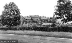
Seen from Kettering Road, this on land formerly belonging to Home Farm.
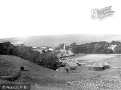
The village lies north of the Seaford road, which crosses the Cuckmere River at Exceat.
We are looking towards Church Road from Crescent Road. The Ritz cinema was showing A J Croninís ëThe Green Yearsí, starring Charles Coburn, Gladys Cooper, and Tom Drake.
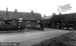
This view is on the High Street, part of the A361 Banbury to Daventry road. In the 1950s this was the more minor B4036.
The view looks south-east towards the newly aligned A46 trunk road, with all its speed and noise.
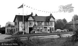
The pub fronts Main Street, sitting prominently at the junction of Cosby Road and Station Road, and appears to be the bad conversion of a former row of cottages.
This small elevated village lies about a mile to the north-east of Melton Mowbray on the A607 Grantham road.
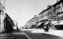
This view is taken from the Rozel Hotel in Birnbeck Road. The twin tram tracks in the road indicate a passing loop, as most of the line was single track. In the distance the Grand Pier can be seen.
The pub fronts Main Street, sitting prominently at the junction of Cosby Road and Station Road, and appears to be the bad conversion of a former row of cottages.
The Sugar Bowl stands south of the junction with Reigate Road, on the east side of the road.
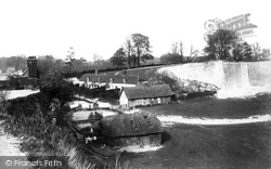
This view, looking north towards the entrance (in the Alton Road), shows several cottages built of chalk, some of which have since been demolished.
This picture, taken just where the A469 road to Bargoed turns to the left, shows what a diversity of shops and amenities existed in a town of barely 5,000 inhabitants.
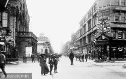
This photograph, taken towards the eastern end of Victoria Road, shows what an important retail area this was.
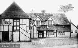
An old coaching inn on the main road. The upper storey is hung with ornate tiles, and the building has a Horsham stone roof. Horses pulling stagecoaches needed to be changed every ten miles or so.
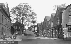
To the right, Winchester Road rises to leave town; to the left it enters town.
Linthorpe Road was at one time the town's only road south.
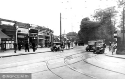
At the time of this photograph, Norwood Road still has tramline points at the junction with Dulwich Road on the right.
We are looking north towards Friary Gardens and Queens Road across the roundabout at the junction with Victoria Road. King Street became one-way for outbound traffic in 1994.
The road through the village became one of the first turnpike roads in Oxfordshire.
This 15th-century cross lies at a crossroads on the Bristol to Weston-super-Mare road; the adjacent Ship and Castle was a coaching inn. Its lower steps have been buried by the raising of the road.
He described Forest Road, seen to the left, as “smooth as a die”. Except for tarmac roads the scene has changed very little.
Places (26)
Photos (14329)
Memories (11058)
Books (5)
Maps (476)


