Places
36 places found.
Those places high-lighted have photos. All locations may have maps, books and memories.
- Cardiff, South Glamorgan
- Barry, South Glamorgan
- Penarth, South Glamorgan
- Rhoose, South Glamorgan
- St Athan, South Glamorgan
- Cowbridge, South Glamorgan
- South Molton, Devon
- Llantwit Major, South Glamorgan
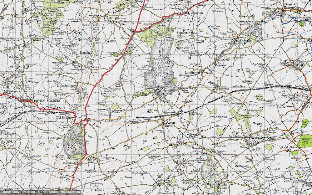
- Chipping Sodbury, Avon
- South Chingford, Greater London
- South Shields, Tyne and Wear
- Ayr, Strathclyde
- St Donat's, South Glamorgan
- Llanblethian, South Glamorgan
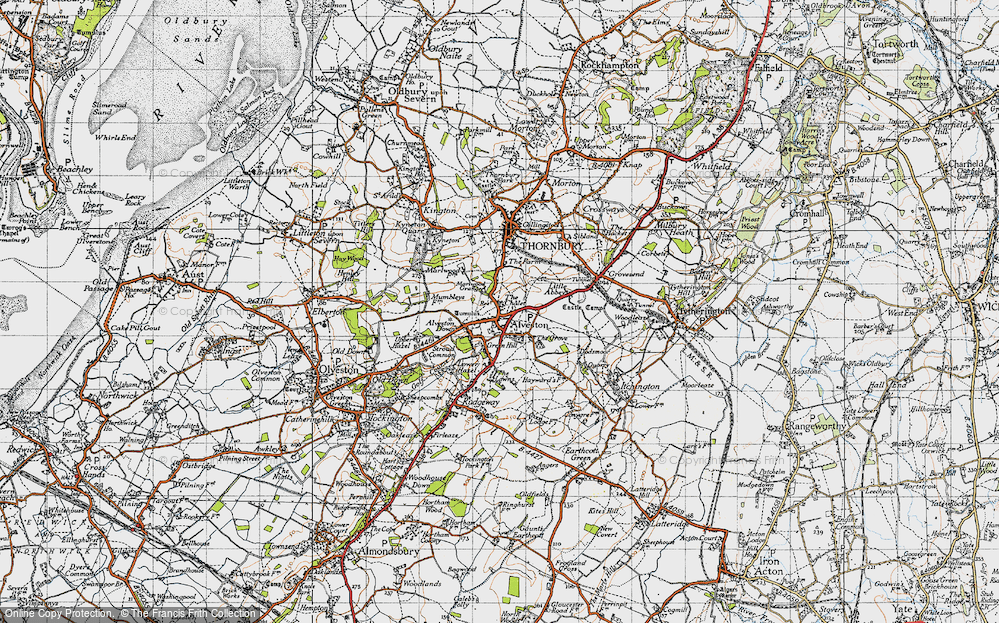
- Thornbury, Avon
- Llandough, South Glamorgan
- Fonmon, South Glamorgan
- St Nicholas, South Glamorgan
- Jarrow, Tyne and Wear
- Penmark, South Glamorgan
- Font-y-gary, South Glamorgan
- Maybole, Strathclyde
- Yate, Avon
- Oxford, Oxfordshire
- Torquay, Devon
- Newquay, Cornwall
- Salisbury, Wiltshire
- Bournemouth, Dorset
- St Ives, Cornwall
- Falmouth, Cornwall
- Guildford, Surrey
- Bath, Avon
- Looe, Cornwall
- Reigate, Surrey
- Minehead, Somerset
- Bude, Cornwall
Photos
5,607 photos found. Showing results 1,501 to 1,520.
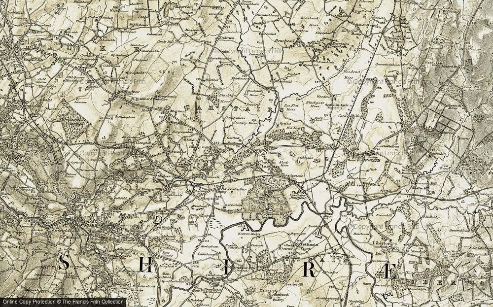
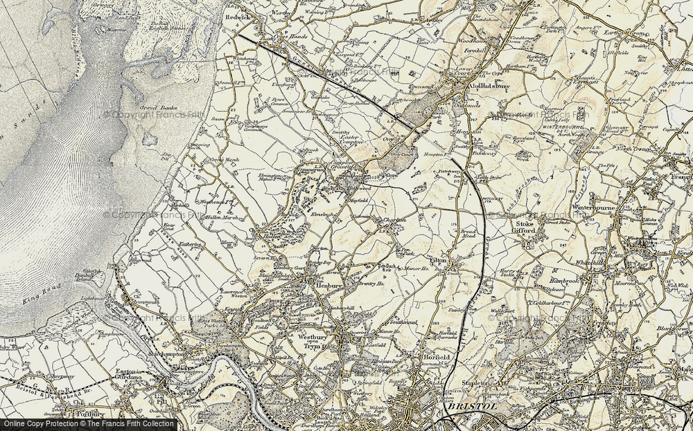
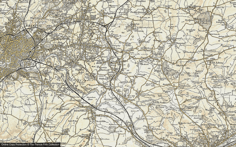
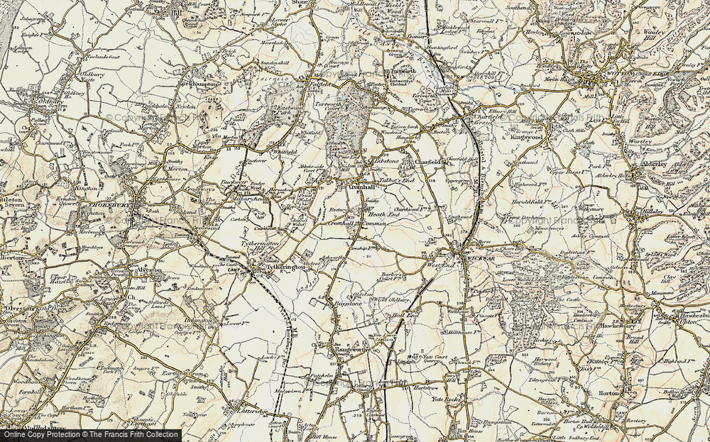
Maps
2,499 maps found.
Books
23 books found. Showing results 1,801 to 23.
Memories
1,580 memories found. Showing results 751 to 760.
Lived On Gas Street
We lived on Gas Street. My family name was Gilder and my parents names were Leonard and Olga nee Carless. My cousins Pamela (nee Gilder) and Gerry Lees still own the Gilders Fishing Tackle Shop in Failsworth. I remember ...Read more
A memory of Failsworth in 1957 by
56 Victoria Terrace
My mum, Esther Scott, lived at the above address and remembers; Jean Gardner, Anne French, Jack, Audray, Ronald & Colin Ripley. Ronald & Colin are on one of her wedding photos! She moved to South Yorkshire ...Read more
A memory of Victoria Garesfield by
Barrage Balloon
Does anyone in the Sheriff Hill area remember, or know of, a barrage balloon breaking loose and doing some damage at St John's Church? My grand-parents are buried there, and as a choir boy I remember their gravestone, which ...Read more
A memory of Sheriff Hill in 1942 by
Afternoon Drive To Visit The Mast And Enjoy The View.
Not too sure of the year; visiting my grandad and granny Haywood who lived up South Lane. As a child it was an adventure to go out in grandad's Morris Minor, it had a nodding dog in the back ...Read more
A memory of Holmfirth in 1974 by
Arnherst House
In the 1911 census my great grandparents lived in this house - Arnherst House. John & Alice Upstone; John was a postman. Their son, John Alfred, married Lilian Blackstone Adams (from Foest Row). Then they moved to London ...Read more
A memory of East Grinstead in 1910 by
Orange The Tailors/Pawn Shop In Frederick St. South Shields
Can anybody remember my grandad's shop in Frederick Street? Does anyone have any information about him, his family or his shop? I am trying to research my father's side of the family tree and only have a limited knowledge.
A memory of South Shields in 1940 by
Childhood Days
My family moved from Portsmouth to my father's home town of Hebburn in the mid sixties, we lived at No.47 Byron Ave and I have many happy memories of my life in Hebburn. Sadly, my father died in 1968 and my mother and I moved back ...Read more
A memory of Hebburn in 1968 by
Mishaps In South Croydon
The pub in the middle distance on the right is The Red Deer. On the triangle, which is formed by the junction of Brighton Road & Sanderstead Road, where incidentally I later lived & two of my children were born, ...Read more
A memory of Croydon in 1959 by
At School In Tidworth Bulford And Tidworth Down.
We came back to Tidworth in 1944 from South Africa where we had been evacuated to from Egypt via Palestine in 1940. Father had been repatriated from Stalag VIIIB and was posted to BMH ...Read more
A memory of North Tidworth in 1944 by
Illingworth Remembered
I lived in Keighley Drive, opposite Crossleys sportsfield until I got married and moved to Bradford with my husband. I have so many lovely memories of Illingworth and Ovenden. My brother went to St. Thomas More school and I ...Read more
A memory of Halifax in 1965 by
Captions
2,476 captions found. Showing results 1,801 to 1,824.
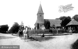
The church of St Peter, with its 14th-century tower made entirely of wood and supported inside by a framework of huge oak timbers, also has a 13th-century chancel and a south aisle added a hundred years
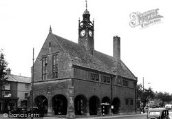
The clock turret of Moreton's most prominent building displays the date of its construction as 1887, and on the south wall is the coat of arms of the Redesdale family of Batsford Park who
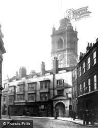
This view looks south towards St Giles Cripplegate Church.
Haywards Heath grew up as a commuter town on the London, Brighton and South Coast Railway, whose isolated 1841 station for Cuckfield formed its nucleus.
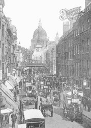
A train has just left Holborn Viaduct Station and thunders south over the bridge, steam ballooning out over the roofs. Below, traffic crawls miserably up Ludgate Hill.
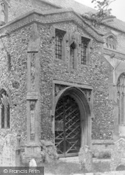
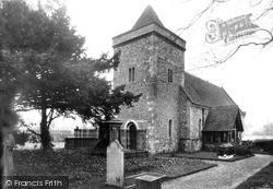
The timber porch is later, 1869, and the stained glass includes a small 15th-century crucifixion in a south window.
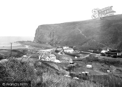
Being one of the few beaches south of Bude that can be accessed by car ensured that Crackington Haven had its compliment of holiday facilities, such as the hotel we see here with players just visible on
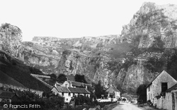
Cheddar Gorge is one of the most spectacular natural phenomena in south-west England.The gorge cuts its way out of the carboniferous limestone as if it was in the Peak District of Derbyshire; it is an
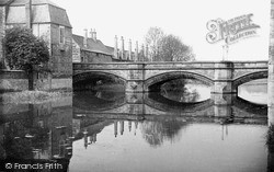
The chimneystacks of Lord Burley`s Hospital are an eye-catching feature along the south bank of the Welland.
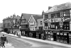
Fore Street and the triangular medieval market place are the heart of the town: here we see the south side, behind the Market House's stand of horse-drawn cabs.
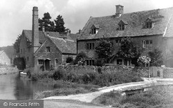
The River Eye flows through the village on its way to join the River Dickler, which in turn feeds the Windrush to the south of Bourton-on-the-Water.
Hayling Island is 4 miles long and 10 square miles in all, with popular sandy beaches in the south.
In 1888-90 a new nave and chancel were built over the north aisle of 1830, which left the earlier church as the new south aisle and chapel.
East and south of the church, the High Street has a number of good houses, including the 18th-century Elm Farmhouse in the distance.
Since it was gradually absorbed to become a suburb of Royal Tunbridge Wells, this small village south of Tonbridge supported a number of businesses in its commercial centre.
The newer Bournemouth International Centre, with its 3500 capacity auditorium, has now joined the Pier Theatre and the Wessex and Tregonwell Halls to make the city the entertainment capital of the south
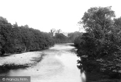
Situated to the south-east of the town on the left bank of the river Teith at its junction with the Ardoch, Doune Castle derives its name from the Gaelic word 'dun', meaning a fortified place.
Nether End c1955 Baslow, situated 8 miles west of Chesterfield and 12 miles south of Sheffield, was once a part of the parish of Bakewell, but became independent in July 1869, taking with it
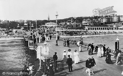
Bournemouth Pier stands above the original mouth of the River Bourne. Its construction marked the town's commitment to its role as a resort.
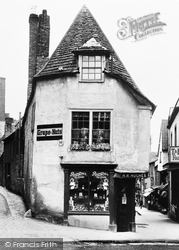
At the south end of Cheap Street, seen on the right, were the premises of H R Hughes; the building has a narrow three-sided front and a stone-tiled roof, also with three planes.
Situated to the south of Alcester on the Midland Railway line, Broom railway station was the interchange for a cross-country route linking up with the Midland main line from Rugby to Bedford.
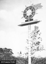
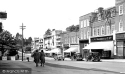
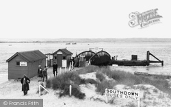
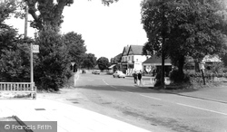
In the picture we can see a bus stop sign on a concrete post, for Southdown route 106 only, Worthing to South Ferring.
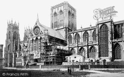
The south face was undergoing repair work at this time. Pollution, mainly from the smoke from the railways, did a lot of damage to both glass and stone.
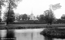
The apparent terracing between the river and the church is actually hedges on either side of the Marks Tey to Sudbury railway line and of the road from Bures to Sudbury running south to north across
Places (15471)
Photos (5607)
Memories (1580)
Books (23)
Maps (2499)


