Places
36 places found.
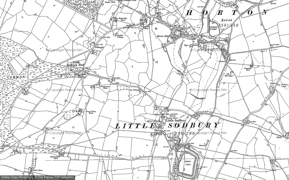
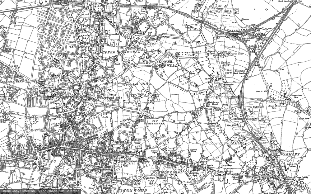
Those places high-lighted have photos. All locations may have maps, books and memories.
- Cardiff, South Glamorgan
- Barry, South Glamorgan
- Penarth, South Glamorgan
- Rhoose, South Glamorgan
- St Athan, South Glamorgan
- Cowbridge, South Glamorgan
- South Molton, Devon
- Llantwit Major, South Glamorgan
- Chipping Sodbury, Avon
- South Chingford, Greater London
- South Shields, Tyne and Wear
- Ayr, Strathclyde
- St Donat's, South Glamorgan
- Llanblethian, South Glamorgan
- Thornbury, Avon
- Llandough, South Glamorgan
- Fonmon, South Glamorgan
- St Nicholas, South Glamorgan
- Jarrow, Tyne and Wear
- Penmark, South Glamorgan
- Font-y-gary, South Glamorgan
- Maybole, Strathclyde
- Yate, Avon
- Oxford, Oxfordshire
- Torquay, Devon
- Newquay, Cornwall
- Salisbury, Wiltshire
- Bournemouth, Dorset
- St Ives, Cornwall
- Falmouth, Cornwall
- Guildford, Surrey
- Bath, Avon
- Looe, Cornwall
- Reigate, Surrey
- Minehead, Somerset
- Bude, Cornwall
Photos
5,607 photos found. Showing results 1,601 to 1,620.
Maps
2,499 maps found.
Books
23 books found. Showing results 1,921 to 23.
Memories
1,580 memories found. Showing results 801 to 810.
George Norman Brown Footballer For Jarrow St Bedes 1948 49
Hello, My dad used to play football for Jarrow St Bede's and later, South Shields Mariners. I want to research this as he has no momentoes from this era. I know that he was known ...Read more
A memory of South Shields in 1949 by
Coverack 1969
In 1969 I was 15 and quit school. I was hitch hiking and ended up in Coverack. I was drinking in the local pub, the Paris Hotel I think, when some construction guys offered me a job digging ditches and laying sewer pipes. It was ...Read more
A memory of Coverack in 1969 by
Life In Newport
I lived in Newport with my Mom Gladys, Father Jock and sisters Tina, Trisha and Jacky. We lived in Prospect Road for many years. My fondest memories are of meeting the gang in The Town Square outside "Mary Lambs" ...Read more
A memory of Newport in 1957 by
Best Years Of My Life
From my birth in 1945 to my departure from Greenock in 1958 I think I can honestly say were the best years of my life. I was born in Oakfield Terrace, I was the middle of three children. Tough times? Who knew, everybody was ...Read more
A memory of Greenock in 1958 by
South Harrow In The 1950s 60s
I was born in 1950 and lived at 27 Eastcote Lane, with a superb view of the gas holder from my bedroom window. I remember Macdonalds the fishing equipment shop which was almost opposite my house and apparently ...Read more
A memory of South Harrow by
St Catherine's Boarding School
I have very fond memories of the school and Mr and Mrs Cooper, and I was one of the privileged children to move to Parkstone in Dorset when the Coopers moved there. I was in Miss Stoddart's class and I can still ...Read more
A memory of Almondsbury in 1960 by
Privateers And Pirates
The Llandoger Trow - It is rumoured that Daniel DeFoe had met Alexander Selkirk ( shipwrekced sailor who had been rescued by a Bristol ship) in the Llandoger, on whose story he based his book 'Robinson Crusoe'. The ...Read more
A memory of Bristol by
Bristol University Facts
While Bristol may be better known nowadays for being home to Wallace and Gromit than to a top-class university, its college has gained a reputation as a science leader, particularly in medicine and engineering. Founded in ...Read more
A memory of Bristol by
Old Hall
This is the seat of the Biddulph family; it was built in the early sixteenth century, probably to replace an earlier Saxon, possibly fortified, house that has been identified on Bailey's Hill, to the south west of the Old Hall. It was ...Read more
A memory of Biddulph by
Growing Up In South Woodford
I lived In Priory Close which faces the shops on South Woodford high road, I left when I married aged 19. My memories are of a wonderful childhood. I used to play out with all the other children who lived in the ...Read more
A memory of South Woodford in 1965 by
Captions
2,476 captions found. Showing results 1,921 to 1,944.
We are looking towards Stair Hole, where the downlands of Dorset meet the sea, is hollowed out by vast caverns, many used by smugglers for centuries.The South West Way Coastal Footpath, once an old
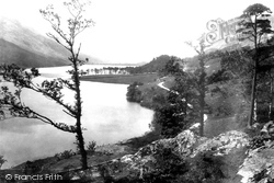
We are looking south from Lower Gatesgarth.The pines of Crag Wood are prominent in the centre of the photograph, while the slopes of Dodd sweep up the lake shore beyond.
The latter benefited from huge quantities of the bird manure 'guano' imported from South America to Whitehaven, carried by rail to the town in tons, and retailed by J and W Maxwell in Cornmarket
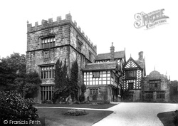
Turton Tower lies four miles south of Darwen, and four miles north-east of Bolton.The villages of Turton and Turton Bottoms are next to the Tower.Turton Tower is basically two buildings, a pele
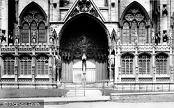
Known as the Judgement Porch from its carved scenes of the Last Judgement, the south porch of Lincoln Cathedral led into the richly carved Angel Choir, the east arm of the cathedral built for St Hugh's
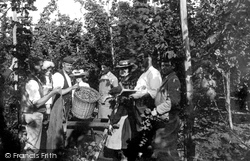
From Victorian times up to the start of the Second World War, Goudhurst and other Wealden villages among the hop fields were subjected to an annual late summer invasion of entire families from South
The large south window of the chapel is filled with 16th-century glass and is the work of Flemish craftsmen.
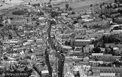
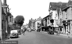
St John Street is the main entrance to the city from the south.
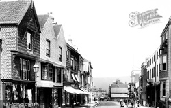
Lewes, the medieval guardian of the gap through the South Downs cut by the River Ouse, occupies a fine hilltop site which produces a superb townscape.
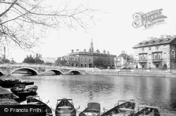
In the background is a popular promenade called the Bulwark, an embankment extending for about a mile on the south side of the river.
Two miles south east of Rotherham, Whiston was a large village by the end of the Napoleonic Wars.
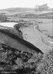
High and Over, or Hindover, is a vantage point on the South Downs, overlooking the Cuckmere river valley.
Holland had worked for the Duke of Bedford at his seat at Woburn Abbey some ten miles south-west of Bedford, and the duke had acquired the old inn in 1787.
Named after the original landowner, Justin de Cave, South Cave is a village of two halves, separated by the castle, built in 1787.
The new seaside resort was mostly laid out south of the old town on flatter land between the Lower Town, largely destroyed by fire in 1791, and the sea.
Two miles south-west of Othery, the Taunton Road skirts the Mump, a natural tor rising steeply from the surrounding Moors.
This view, from the south east near Vicarage Road, shows a heavily Victorianised medieval church; it further suffered in 1943 when a bomb blast destroyed all its stained glass.
Scott also rebuilt the river bridge in 1864, a fine red brick one in a medieval style, seen here from the south by the Thames. We can just see the church spirelet.
Lawrence was one of Wellington's infantry, serving in the 40th Regiment of Foot in campaigns from South America and the Peninsular War - where he was wounded in the storming of Badajoz in 1812 -
This view looking south over Lindow Moss towards Alderley Edge, overlooks the area where Lindow Man, a first-century sacrificial victim, was found in 1984.
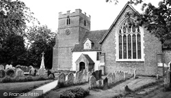
The church is comparatively plain apart from its large 15th-century traceried window on its south side.
Harvington Hall near Chaddesley Corbett lies 3 miles south east of Kidderminster.
Roman Lanchester, or Longovicium, lies half a mile to the south-west; it was one of the principal forts along the road between York and Hadrian's Wall, and was built about the year 122.
The view looks south-east; the pond on the right survives, and on the left is the Boys' and Girls' School with its bellcote.
Places (15471)
Photos (5607)
Memories (1580)
Books (23)
Maps (2499)


