Places
36 places found.
Those places high-lighted have photos. All locations may have maps, books and memories.
- Devil's Bridge, Dyfed
- Menai Bridge, Gwynedd
- Hebden Bridge, Yorkshire
- Pateley Bridge, Yorkshire
- Sowerby Bridge, Yorkshire
- Bamber Bridge, Lancashire
- Bridge of Allan, Central Scotland
- Victoria Bridge, County Tyrone
- Two Mile Bridge, Republic of Ireland
- Greta Bridge, Durham
- Three Bridges, Sussex
- Newby Bridge, Cumbria
- Bridge, Kent
- Marple Bridge, Greater Manchester
- Wootton Bridge, Isle of Wight
- Woodford Bridge, Greater London
- Dunsop Bridge, Lancashire
- Forth Bridge, Lothian
- Haydon Bridge, Northumberland
- Shotley Bridge, Durham
- Wisemans Bridge, Dyfed
- Two Bridges, Devon
- Stanford Bridge, Hereford & Worcester
- Mylor Bridge, Cornwall
- Calder Bridge, Cumbria
- Whaley Bridge, Derbyshire
- Kerne Bridge, Hereford & Worcester
- Stamford Bridge, Yorkshire
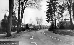
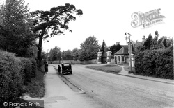
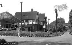
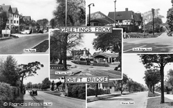
- Drift Bridge, Surrey
- Cowan Bridge, Lancashire
- Acton Bridge, Cheshire
- Stow Bridge, Norfolk
- Penny Bridge, Cumbria
- Four Mile Bridge, Gwynedd
- Eamont Bridge, Cumbria
- Sutton Bridge, Lincolnshire
Photos
10,057 photos found. Showing results 1,801 to 1,820.
Maps
1,153 maps found.
Books
Sorry, no books were found that related to your search.
Memories
2,061 memories found. Showing results 901 to 910.
The Village Shop
I remember in the 1950s, walking as a child from Greenhurst Lane where I lived, across the railway bridge, down to St Agatha's Hall, then left down the long path to the bottom of the large Village Green. At the bottom on ...Read more
A memory of Hurst Green by
Frenze,Nr Diss
My grandfather (Frederick William Steward) was a gamekeeper and lived with his wife ( Florence )and there 6 children in a single story cottage,it was deep in the woods, we always went for a weeks holiday there,my father always had a ...Read more
A memory of Frenze by
1966 70
I used to keep my ponies in a field opposite the Mill which was still working in a small way. I remember the dreadful flooding of 1968. We had to walk down Mill Lane to get to check the ponies. It was waist deep in water and when we got to ...Read more
A memory of Sindlesham
Southall Town 50's 60's 70's 80's
Between 1950 - 1980's the family owned a bakers shop at 84 High Street. P.G.WOODFORD & SON (opposite the Police Station). If anyone has memories of this period it would be good to get in touch. I ...Read more
A memory of Southall by
Lane End Born Bred From 1956
I grew up in Park Lane, this is the eastern side of Lane End, and then consisted of mostly 1940s- & 1950s-built council houses. I grew up in Coronation Crescent, a semi, 3 bed council house. These ...Read more
A memory of Lane End by
Summer Holidays
I was born in Brewery Yard, Great Haywood. After the war my mum moved to Notting Hill, London, so in the summer holidays my sister and I would stay at Nan & Grandads in the village. Mum {Eileen Bailey} played the piano in ...Read more
A memory of Great Haywood in 1954 by
On The River Mole
The River Mole forms the county boundary here, south-west of the church, so the right bank in the view is in Sussex. This is Long Bridge, seen from Church Meadow, now a more manicured space. The bridge carried the London to Brighton road for many years; it was rebuilt in the 1970s.
A memory of Horley
Village On A Hill
In 1941, shortly before my sixth birthday, I arrived at what was then a large branch of the National Children's Home & Orphanage, at Old Bramhope. To get there I had enjoyed an exciting (for me) train journey from Kings Cross ...Read more
A memory of Bramhope in 1930 by
Walking To School Across The Dee
My Mother Mary Burghall (Married name Davies) used to walk to school everyday across this suspension bridge. She would would walk with her brother's and sisters and friends and she often says that this was the best time of her life.
A memory of Chester in 1930 by
Scole Old Beams
My great-aunt lived in this house - we always knew it as 'Beam Ends'. She had a little antique shop in the single storey bit at the end (on the right). I also remember the garage on the right in the picture which was run by a Mr ...Read more
A memory of Scole in 1945 by
Captions
2,231 captions found. Showing results 2,161 to 2,184.
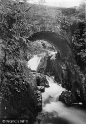
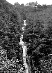
The awful height of the fissure which the bridge bestrides a hundred feet above the observer, rendered doubly gloomy by its narrowness, and the wood which overhangs it; the stunning noise of the torrent
The railway bridge is at the far end. The now-closed railway arrived in 1847, but since there were few houses, a station was not built until 1872.
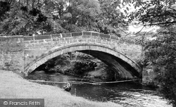
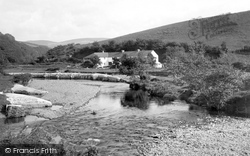
Nearby is a fine stone bridge over the River Rother and a picturesque house (a converted watermill) on an island in the river. The Grange is a fine house of c1700.
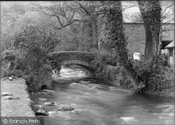
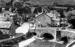
This extremely attractive village lies in the heart of mountainous Snowdonia on the Glaslyn river, and this fine bridge has been a magnet for visitors, who came in increasing numbers following the war.
Liverpool and Manchester both sent traffic over the Ribble bridges and into the dock area to join roads that were full already.
Today The Bridge public square marks where the stream was crossed and the town continued to climb up the other side on to what is now Park Street.
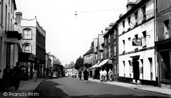
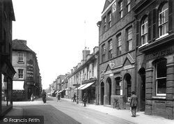
It takes its name from the Crown public house (right) opposite the turning to Bridge Street, now occupied by Woolworth`s.
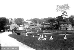
Children pose near the small bridge over Downham Beck, a brook which runs through the heart of the village.
To the right is the Town Hall, which was originally situated over the north end of the bridge, with only a narrow arch for traffic.
Children pose near the small bridge over Downham Beck, a brook which runs through the heart of the village.
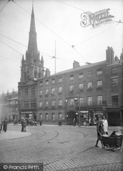
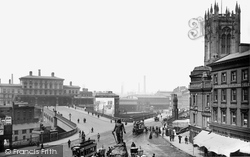
The approach to the station is a bridge over the River Irwell. At the centre bottom of our picture is Cromwell's statue, by Matthew Noble.
Bodiam Bridge, completed in 1796, marked the limit of normal navigation, but its centre arch was raised sufficiently to allow river traffic to continue upstream when conditions were favourable.
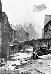
The bridge was eventually demolished in June 1934, and the Beck was covered over during the Westgate clearance scheme.The phenomenal growth of the cotton trade in the town led to inevitable pollution of
Three forms of transport have cut through the area at various times: the main Roman road, later the A6, the Lancaster Canal, and the railways, all bringing prosperity and extra work to the area.
The drinking fountain, centre middle distance, was about to begin its travels, first to a position in front of the church, then in 1977 to a pedestrian bridge over the stream near the present Ramswalk
Buffer stops were added to the Ilkley station on 3rd January 1966 and the eighty year old bridge over Brook Street was demolished, with work starting at 5am on Sunday 10th July 1966.
The donkeys have a long walk every day from their field just below the Abbey House, down the donkey path, along Church Street, over the bridge and down Pier Road to the sands.
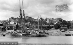
Their masts were stepped so that they could pass under bridges.
The old building briefly became Seldown School before being demolished to make way for the Seldown Bridge, carrying traffic past the Dolphin Swimming Pool.
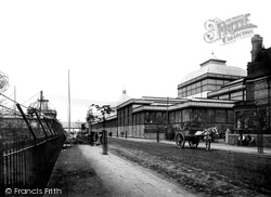
You can see the 'fireproof' bridge which linked the two sites. The designers and builders of the exhibition were Maxwell & Tuke, who went on to design Blackpool Tower.
Another manor house, Trusloe, is connected to the churchyard by a footbridge across a stone bridge.
The River Eye flows below the bridge seen here, which was once much narrower.
Brungerley Bridge is still popular today because of its proximity as a leisure area to Clitheroe town.
The View to Bridge Street This section of Regent Street is immediately to the north of the McIlroy's store.
Places (284)
Photos (10057)
Memories (2061)
Books (0)
Maps (1153)


