Merry Christmas & Happy New Year!
Christmas Deliveries: If you placed an order on or before midday on Friday 19th December for Christmas delivery it was despatched before the Royal Mail or Parcel Force deadline and therefore should be received in time for Christmas. Orders placed after midday on Friday 19th December will be delivered in the New Year.
Please Note: Our offices and factory are now closed until Monday 5th January when we will be pleased to deal with any queries that have arisen during the holiday period.
During the holiday our Gift Cards may still be ordered for any last minute orders and will be sent automatically by email direct to your recipient - see here: Gift Cards
Places
36 places found.
Those places high-lighted have photos. All locations may have maps, books and memories.
- Shanklin, Isle of Wight
- Ventnor, Isle of Wight
- Ryde, Isle of Wight
- Cowes, Isle of Wight
- Sandown, Isle of Wight
- Port of Ness, Western Isles
- London, Greater London
- Cambridge, Cambridgeshire
- Dublin, Republic of Ireland
- Killarney, Republic of Ireland
- Douglas, Isle of Man
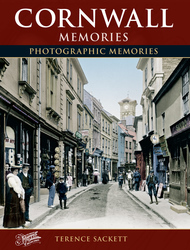
- Plymouth, Devon
- Newport, Isle of Wight
- Southwold, Suffolk
- Bristol, Avon
- Lowestoft, Suffolk
- Cromer, Norfolk
- Edinburgh, Lothian
- Maldon, Essex
- Clacton-On-Sea, Essex
- Felixstowe, Suffolk
- Norwich, Norfolk
- Hitchin, Hertfordshire
- Stevenage, Hertfordshire
- Colchester, Essex
- Nottingham, Nottinghamshire
- Bedford, Bedfordshire
- Bury St Edmunds, Suffolk
- Aldeburgh, Suffolk
- St Albans, Hertfordshire
- Hunstanton, Norfolk
- Chelmsford, Essex
- Bishop's Stortford, Hertfordshire
- Peterborough, Cambridgeshire
- Brentwood, Essex
- Glengarriff, Republic of Ireland
Photos
2,038 photos found. Showing results 101 to 120.


Maps
25 maps found.
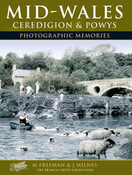
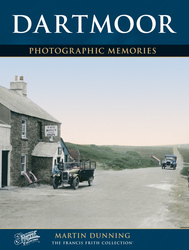
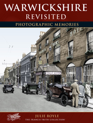
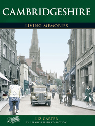
Books
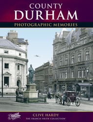
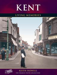
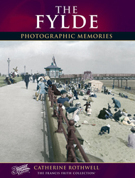
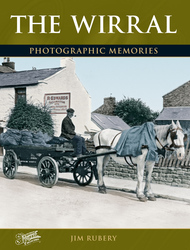
431 books found. Showing results 121 to 144.
Memories
Sorry, no memories were found that related to your search.
Captions
237 captions found. Showing results 121 to 144.
Upper Rushall Street and Peal Street running north and south from the bottom of the church steps indicate ancient routes to Lichfield and Wednesbury.

Today the great conurbation that is Bournemouth has absorbed older settlements nearby and has linked up with the ancient towns of Christchurch and Poole.

Here we see Maldon’s famous promenade— now Promenade Park—with a fine array of fishing boats; the tower of St Mary’s church, with its landmark little white spire, can be seen in the background.Today

Seen here is Hurricane, a locomotive one-third of the size of normal engines.

Chesil Beach is a great ridge of shingle eight miles long with a lagoon of brackish water between it and the mainland.

Sad to say, the tower of All Saints' Church is not safe at present, so it is not possible to climb to the top and compare this photograph with the reality of present-day Northampton.

The House of Correction stood on this site until 1829. The county jail was then relocated and the new Town Hall was built incorporating some of the cells.

The big house set back from the road left of centre is Weeth, and past it the road continues down into the valley of the Cober.

It stands on the site of the original priory and of the 17th-century manor house that succeeded it. Stonework from both buildings is incorporated into the structure.

The nets strewn across the railings of the bridge emphasise the importance of this small harbour; in 1887, it boasted over 80 cobles and yawls, employing over 200 fishermen.

Looking across Bowling Green to the south side of Oxford Road, these houses are mainly early and later 19th century.

The Green has attractive Georgian houses - note the fine portico and parapet of High House on the left. Went House is in the centre.

In the meantime, development, in the main of a residential nature, continued to spread north and east across Portsea Island.

This picture shows the remains of the flint tower, which, as can be seen, needed substantial reinforcement with solid blocks of stone.

hung from the hook on the extreme end of the wrought iron inn sign.

Here we see the Square outside the old town hall and part of Market Street. We can see the bus shelters on the left.

Powers were sought in Parliament to establish new residential areas, and many of the squares and avenues of modern- day Cheltenham date back to that period.

To the left of the Italianate Corn Exchange, G C Flanders advertises the various cycles sold in the shop: Swift, Rover, Royal Enfield, Rudge and Whitworth amongst them.

Since this picture was taken, the 'village' has undergone further housing developments which mean that it has become a suburb of Abergavenny.

This has led many to believe that this is the house from which Charles II so famously escaped after the Battle of Worcester, running out of the back door as his pursuers came in at the front.

The Church of St Saviour at Tormohun has a 14th-century tower, and the rest is 15th-century.

The railway station is on the Midland line from Bradford to Skipton. The railway station was opened in 1856. Titus Salt's Mill, some six storeys high, sits alongside the line.

Here, from the Brecknock & Abergavenny Canal of 1812, Abergavenny can be seen in the distance.

The picturesque village of Buriton stands in the shadow of Butser Hill, and by the pretty, tree-fringed pond lies the church, with its 13th-century tower watching over the tranquil scene.
Places (6814)
Photos (2038)
Memories (0)
Books (431)
Maps (25)

