Merry Christmas & Happy New Year!
Christmas Deliveries: If you placed an order on or before midday on Friday 19th December for Christmas delivery it was despatched before the Royal Mail or Parcel Force deadline and therefore should be received in time for Christmas. Orders placed after midday on Friday 19th December will be delivered in the New Year.
Please Note: Our offices and factory are now closed until Monday 5th January when we will be pleased to deal with any queries that have arisen during the holiday period.
During the holiday our Gift Cards may still be ordered for any last minute orders and will be sent automatically by email direct to your recipient - see here: Gift Cards
Places
3 places found.
Those places high-lighted have photos. All locations may have maps, books and memories.
Photos
1,193 photos found. Showing results 221 to 240.
Maps
27 maps found.
Books
2 books found. Showing results 265 to 2.
Memories
489 memories found. Showing results 111 to 120.
Baker Lane, Stanley And Canal Road, Stanley
Does anybody have photos of Baker Lane or Canal Road in Stanley, or any information about the Littlewood family that lived there? If so, anything about the Littlewood family would be helpful. Contact details: satellite50@live.co.uk .......thank you. Peter Littlewood.
A memory of Stanley in 1900 by
Trevor Living There Practically All My Life
Further to Gary's memory I was the Julie that he lived next door to but my surname was Evans. For practically all of my life I have lived in Trevor and still see many of the people that I grew up with. ...Read more
A memory of Trevor in 2009 by
My Childhood In Astmoor
I lived in Astmoor with my grandparents. My grandma sold sweets, pop and cigarettes. I went to Halton School and walked down Astmoor Lane which we called Summer Lane. Grandad worked at Astmoor tannery. We lived next to Ivy ...Read more
A memory of Astmoor in 1956 by
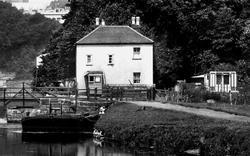
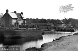
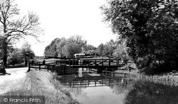
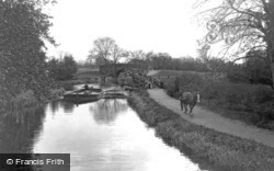
Drawbridge Cottage Exeter Canal Photo Ref 82302
Ref: 82302 This is a photo of Drawbridge Cottage where my family lived in 1901. John Thomas Helley and wife Eliza Ann(nee Gitsham) lived there with their children Florence, Maud, Louie ...Read more
A memory of Newton St Cyres in 1920 by
My Village As A Child
I was born at Grainthorpe in 1945 at Chapel Hill Cottages to Jim and Ivy Holdsworth Dad was a Geordie who came to the village in 1943 with the Royal Ulster Rifles. My mother was Ivy Loughton and was brought up by her ...Read more
A memory of Grainthorpe
Awalk With Grandfather
A walk with grandfather « Thread Started Yesterday at 2:03pm » -------------------------------------------------------------------------------- A Walk with Grandfather. I was about 11 years old, one summer's day, ...Read more
A memory of Stramshall in 1930 by
Playing On The Canal
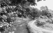
I spent many happy days here with my brother and sister. Playing in home-made boats made from corrugated tin, catching tadpoles and skating on very thin ice in the winter. I lived in Woodview Road and my grandparents lived in Mount Pleasant.
A memory of Risca by
Takes Me Back
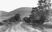
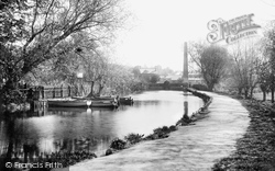
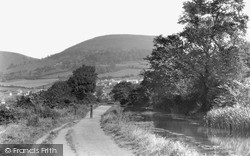
In this picture, the post in the middle of the path is an old canon barrel. When I went for walks along this canal as a kid, I can remember running on ahead of my parents a short distance with my brother and sister to the canon ...Read more
A memory of Pontymister by
Station Road
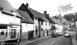
I have very fond memories of walking up this road in order to catch the old steam train to Chippenham, but alighting at Black Dog so that we could visit my grandparents who lived in Stanley. In younger days, I would paddle in the canal ...Read more
A memory of Calne in 1950 by
Trevor
I have many many fond memories of Trevor. I grew up there as a child but was moved away from there at the age of 11. I lived across the road from the community centre, No 45, Julie Roberts used to live next door and my best mate Vincent ...Read more
A memory of Trevor by
Captions
720 captions found. Showing results 265 to 288.
Opened throughout in 1772, the Staffs & Worcestershire Canal was designed by James Brindley as part of a scheme to allow traffic to operate between the Thames, Trent, Severn and Mersey.
For those who could not join the Belfast Boat Club, with its tennis court and long tea-room, there was still the canal to be discovered at Stranmillis.
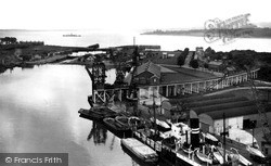
Timber is being loaded onto barges, or lighters, to be towed up to Gloucester, where vast wood yards were sited along the canal.
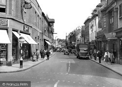
In this photograph, New Canal has become a one way street—yet it still looks congested.
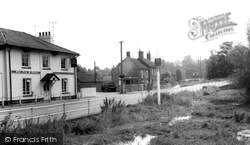
In this view the pub, the river, and both bridges can all be seen. Note the pole sign for the pub standing in the river.
To its south is Saddington Reservoir, a picturesque stretch of water created in the 1790s to feed the Grand Union Canal.
Wisbech's five mile-long canal once connected the villages of Outwell and Upwell with the River Nene at Wisbech. It has since been filled in and closed down. Wisbech is the capital of the Fens.
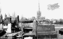
The lane to Lower Close was originally a canal, used for carrying stone for building the cathedral.
As with so many other towns in the area, it was the Leeds and Liverpool canal which brought about the growth of Burnley, and there is a large piece of that canal history alive and well at the
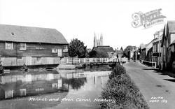
Following the nationalisation of the railways in 1948, the Kennet and Avon Canal was closed to navigation in 1951, about four years before this photograph was taken.
By 1796 the Grand Junction Canal passed through Rickmansworth on its way from Brentford on the Thames to Braunston.
111Southern England HERTFORDSHIRE RICKMANSWORTH, The Canal and
This is a picture of tranquillity perhaps, but the Gipping was effectively a canal with a tow path, made to assist the carriage of goods upstream as far as Stowmarket.
Another view of the canal, showing how overgrown it had become by this time.
Wisbech's five mile-long canal once connected the villages of Outwell and Upwell with the River Nene at Wisbech. It has since been filled in and closed down. Wisbech is the capital of the Fens.
Rockingham also built a short canal to link with the Dearne and Dove Canal.
The lane to Lower Close was originally a canal, used for carrying stone for building the cathedral.
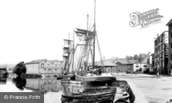
Exeter City Basin opened in 1830 as the final stage of a canal development going back to 1563.
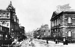
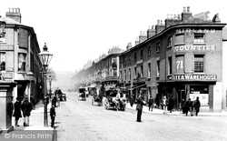
There is a policeman performing traffic duty at the junction with Canal Street, but the traffic - all horse-drawn - is very light.
Following the nationalisation of the railways in 1948, the Kennet and Avon Canal was closed to navigation in 1951, about four years before this photograph was taken.
Strictly speaking, this barge is on a canal.
Children are trying their luck at fishing in the Aylesbury Arm of the Grand Junction Canal. Just beyond the bridge is the delightfully named Hills and Partridges Lock.
The two vessels moored on the right are British Waterways boats used to maintain the canal.
The success of Wisbech has always depended on its rivers and canals. The five mile-long Wisbech Canal once connected the villages of Outwell and Upwell with the River Nene at Wisbech.
Places (3)
Photos (1193)
Memories (489)
Books (2)
Maps (27)


