Places
2 places found.
Did you mean: the broad or the brooks or the broats ?
Those places high-lighted have photos. All locations may have maps, books and memories.
Photos
233 photos found. Showing results 281 to 233.
Maps
9 maps found.
Books
4 books found. Showing results 337 to 4.
Memories
463 memories found. Showing results 141 to 150.
Wartime Evacuees
I was evacuated to Cadwith along with my three brothers. Two stayed in the farm near the Devil's Frying Pan and the other two with Mr and Mrs Broad in a house near the top of the village. We went to school in Ruan Minor which ...Read more
A memory of Ruan Minor in 1940 by
This Is The Road I Lived In With My Parents In The Sixties
This is the street where I lived with my parents, Bert and Muriel Palmer. We lived in number 63. Mawney Road School was over the back of our garden.
A memory of Romford in 1965 by
Childhood Memories
I had a wonderful childhood in Lower Willingdon - we lived, my brother and I, in a bungalow in St Annes Road and went to the village school in Upper Willingdon where Mr Morrell was the headmaster. I remember in the playground ...Read more
A memory of Willingdon in 1950 by
Sutton Flats And Pendleton High School.
I was born in 1946 and went to live on Sutton Flats when I was 5. We lived there in various flats until I was 21! By then, each block was known by a name rather than just a number and we lived at the top of ...Read more
A memory of Salford in 1958 by
At My Nannies Near The Allotments
My nannie lived on East Street, which had a break in the street to go through the allottments. My nannie was called Hilda Lee, nee Marsh. I have fond memories too of Grandad Lee who passed away when I was around ...Read more
A memory of Darfield by
Trying To Remember The Road I Lived On
Am trying to piece together my life while in England. I was sent to some kind of institution when I was a few months old, probably in 1945/46. I believe that place was in the North of England. Then my mother ...Read more
A memory of Heston in 1949 by
A Memory Of Westbury Village 1
The two principal grocery shops in Westbury village, as it was still usually called, in the late 1950s and early 1960s were the Co-operative grocery by the corner of Church Road -- the Co-operative butcher ...Read more
A memory of Westbury on Trym in 1957 by
Memory Lane /Am I Getting Old?
So nice to read all the great reminders of my childhood.I too went to Rokesley Infants,Crouch End Juniors and Crouch End Secondary School.1945/1955.One establishment that seems to have been forgotten is the 'Bread an' ...Read more
A memory of Crouch End by
Memory Lane
My name is Alan Mudge, cousin of Valerie Mudge, her father Doll (Arthur) was one of my Dad's brothers.I was born on 15th. Sept. 1940 at The Shant, Grain Road, Lower Stoke, later, in 1948 moving to 12 Windmill Cottages. I went to school ...Read more
A memory of Lower Stoke by
Sharpenhoe Clappers & Sundon Hills Bedfordshire
In the post war years, as families rebuilt their lives again, Sundays really were special leisure days and those who were able, bought a small car and enjoyed their afternoon going for rides on quiet ...Read more
A memory of Tralee by
Captions
460 captions found. Showing results 337 to 360.
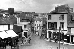
The seaward end of Broad Street was once the hub of Lyme Regis with its old Custom House, until a devastating fire in 1844.
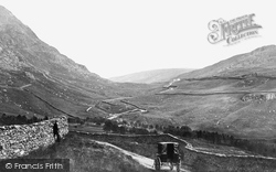
His carriage has stopped near the summit of one of the most famous of the Lake District passes. It connects Troutbeck with Patterdale.
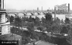
This panorama of the river through broad lawns and lofty trees reveals the bridge’s graceful character.
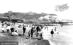
During the summer months there is a good service of steamboats between this interesting watering-place and London. Shakespeare's Cliff commands a broad view of the shores of France.
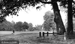
This leafy suburb of Tunbridge Wells boasts a broad and spacious green, fringed by cottages and trees.
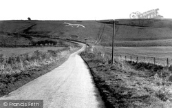
This hill figure cut in the chalk lies on the face of Hackpen Hill, to the right of the road from Wootton Bassett to Marlborough, where it zigzags to climb the hill.
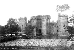
Bodiam is dominated by one of the most picturesque castles in England, set within a broad moat filled with golden carp.
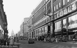
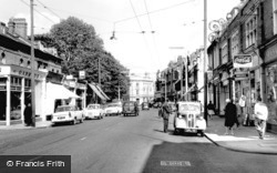
This street scene is dominated by the façade of Lewis's store, with its broad plate glass windows and imitation rusticated pillars. It must have appeared very modern when it opened in September 1932.
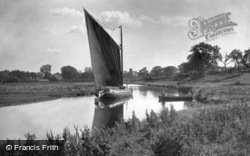
The Norfolk wherry was designed to sail exceptionally close to the wind, as tacking can be a hazardous if not impossible job in these narrow waterways.
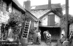
Amid displaced stairs and other paraphernalia, Samuel Govier (1855-1934) shoes a horse at the forge in Broad Street, where in 1895 he had been immortalised by the American artist James
This street scene is dominated by the façade of Lewis's store, with its broad plate glass windows and imitation rusticated pillars. It must have appeared very modern when it opened in September 1932.
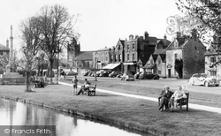
The River Windrush threads through Bourton, carpeted on either bank by broad greens.
This street scene is dominated by the façade of Lewis's store, with its broad plate glass windows and imitation rusticated pillars.
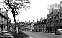
Corn Market 1951 This classic market town is famous for its broad streets and many inns - The Black Horse can be seen on the left in the picture.
With its broad greens, its sandy beach, the lighthouse on North Green, and its picturesque buildings, Southwold has long been popular.
South of Lincoln a string of villages grew up along the western edge of the limestone ridge, mostly along the spring line.
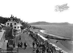
Beyond the Bay Private Hotel and Madeira Cottages (left centre) are Hardown Hill, Stonebarrow Hill (centre) and Golden Cap (right). Seaward are a series of ledges.
This town, known to its inhabitants as 'Mach', is situated at the far north-west corner of Powys, so distant that it is also in the Snowdonia National Park and just ten miles from the sea.
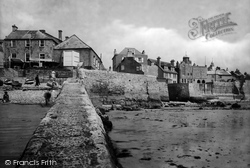
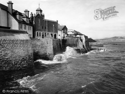
Cobb Gate Jetty is in the foreground, dating in its present state from 1850; it is on the site of Lyme's first early medieval harbour, which was washed away on 11 November 1377 with the
Teddington remained a rural farming area until the arrival of the railway in 1863. New housing and shopping facilities near the station were soon erected.
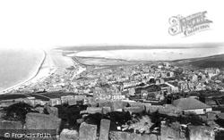
This is a spectacular view from the top of Portland, with the expanse of the Chesil Bank on the left, stretching 16 miles along the Dorset coast to Barton Cliff, and the broad expanse of Portland Harbour
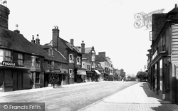
Tenterden is a beautiful old Kentish town close to the Rother Levels. It grew fat in the Middle Ages on sheep, wool and weaving, and later became a market town.
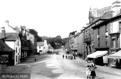
Presiding over the town's broad High Street is the 120 feet high, pinnacle-topped tower of St James', which dates from the 15th century.
This is a historic lost view of Lyme's eastern cliffs before they were entombed and extended in 1984, by sea defence works which incorporated and hid sewage disposal facilities.
Places (2)
Photos (233)
Memories (463)
Books (4)
Maps (9)

