Places
26 places found.
Those places high-lighted have photos. All locations may have maps, books and memories.
- Cemmaes Road, Powys
- Six Road Ends, County Down
- Road Weedon, Northamptonshire
- Severn Road Bridge, Gloucestershire
- Roade, Northamptonshire
- Berkeley Road, Gloucestershire
- Harling Road, Norfolk
- Road Green, Devon
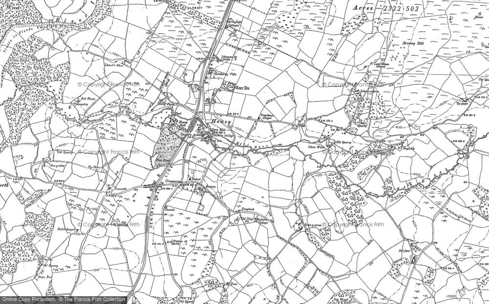
- Builth Road, Powys
- Cross Roads, Yorkshire
- Steele Road, Borders
- Cross Roads, Devon
- Four Roads, Dyfed
- Road Green, Norfolk
- Biggar Road, Strathclyde
- Clarbeston Road, Dyfed
- Five Roads, Dyfed
- Eccles Road, Norfolk
- Grampound Road, Cornwall
- Morchard Road, Devon
- Wood Road, Greater Manchester
- Four Roads, Isle of Man
- St Columb Road, Cornwall
- Clipiau, Gwynedd (near Cemmaes Road)
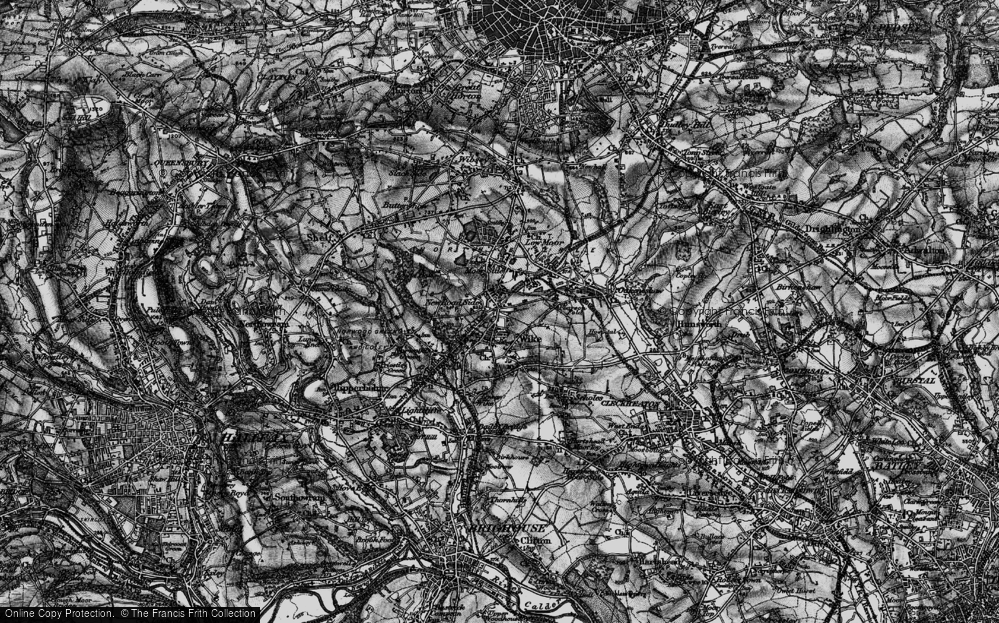
- New Road Side, Yorkshire (near Silsden)
- New Road Side, Yorkshire (near Cleckheaton)
Photos
14,329 photos found. Showing results 81 to 100.
Maps
476 maps found.
Books
5 books found. Showing results 97 to 5.
Memories
11,058 memories found. Showing results 41 to 50.
Childhood
My father came to Townsend Farm as the tenant in Sept 1940. The farmhouse is shown on the left in the picture titled Townsend. At that time I was only 15 months. My earliest memories are of the later war years. We had evacuees ...Read more
A memory of East Quantoxhead in 1940 by
Abc Minors Club
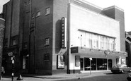
Seeing the photograph of the old Ritz cinema reminded me of the time when I was a member of the Ritz Minors Club from approx. 1947 until 1952. We all paid 6 old pence to have a morning at the "pictures" watching films like Flash ...Read more
A memory of Nuneaton in 1947 by
Pagham Fisherman
I was born in 1972 and lived with my Parents and younger Brother on Pagham Beach where my Father Chris Dodd was the local Pagham Fisherman...he is still fishing with his mate Don and my father is now 62 years in 2006. Lots of the ...Read more
A memory of Pagham in 1972 by
Ackroyd Coffee Bar
Just down the road from the Shoulder of Mutton pub was Ackroyds coffee bar. In the 60s we young ones would meet, listen to the juke box, drinking frothy coffee. The horse and cart outside the pub belonged to Herman Wood the local milkman. The cart was a daily sight outside the pub.
A memory of Clayton West in 1966 by
My Early School Years In Mill Hill 1943 1950
I have few memories of my primary school which was in a private house in Croft Close a turning off of Marsh Lane, but I do remember being very happy there. This was during the latter war years. ...Read more
A memory of Mill Hill by
Moat Mount Youth Fc.
Not long after the completion of Worcester Crescent and Bedford Road, the construction of Ramillies Road I had acquired a large number of new friends, all boys. My parents had moved from Woodford Essex to 52 Worcester Crescent ...Read more
A memory of Mill Hill by
Priestfield Road
I was born in Priestfield Road and lived there until my family moved across the river to to Hoo when I was 14 years-old. I have fond memories of peers with whom I would play either in the road or we'd go to The Rookery, Strand or ...Read more
A memory of Gillingham by
Moor Road Park
I used to love playing on this park when I was a kid in the 70s because of the coppers hat and caterpillar seesaw don't see rides like that anymore but we had so much fun
A memory of Strelley by
Violet Wray Nee Ingrey
My Grandmother Violet Owned and ran a shop on the corner of Mora & Hassop Road, Dollis Hill behind Rolls Razor and opposite Smiths Factory, does anyone have information on this and what she sold. Or any photos of the shop, I believe it was bombed during the war! Thanks so much Ernie
A memory of Dollis Hill by
Bramcote Hospital
I was there in 1982 or 83 (can't remember that clearly) for maybe 6 months. I was 8. I have similar memories to other commenters of the people who stood out there. There was a school on site. The P.E. teacher, made us ...Read more
A memory of Bramcote
Your search returned a large number of results. Please try to refine your search further.
Captions
5,036 captions found. Showing results 97 to 120.
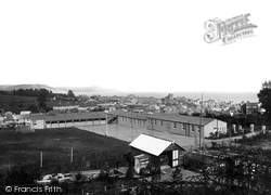
The school was in Hill Road, between Pound Road and West Hill Road, with a view across the town, including St Michael's Church (centre right), to Golden Cap (centre) on the eastern seaboard of Lyme
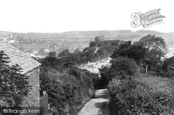
The road curving up to the left of the castle is Roydon Road, known at this time as Zulu Road.
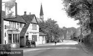
Today this road has far more traffic than a solitary horse and cart. The buildings on the right stand at the junction with Belmont Road, and are now the Belmont Inn.
London Road at this time appears to be reasonably well maintained, though there was a time when roads were anything but.
William Wallis (responsible for the Eagle Building in Eastleigh) had the bright idea of creating an 'Inland Bournemouth' on a triangle of land between Hursley Road, Winchester Road and Brownhill Road. A
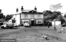
The Prince Albert stands further south on Horley Road, actually in South Earlsfield rather than Salfords, and north of the junction of Horley Road with Woodhatch Road.
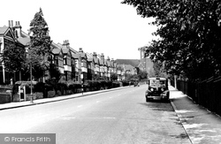
The houses were built in the early 1900s when the road was part of Smitham Bottom Road and now preside over a continual flow of traffic as part of the A237.
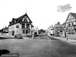
This road junction is just to the south of the centre of Wellington, and sits astride the London to Holyhead road that was built by Thomas Telford in the early 1800s.
The road is now divided, with crossing places for pedestrians.
The Congregational Church stood to the east of the police station on the south side of Carshalton Road, until it was demolished in 1976 as part of a scheme of road improvements.
This quaint scene beside the aviary yielded to a new roundabout where Eastern Avenue/Newbury Road crosses the old coach road to London, New Street/Vigo Road.
There are overgrown sandpits above the junction of Victoria Road (centre left), and Beach Road (centre) which has since been re-named Shore Road.
From the Hanneys the route heads along the A338 road towards Oxford, turning right onto the A415 at Frilford; heading back towards Abingdon, our last stop is in Marcham village.
Roads like the one shown here have fared less well.
This stretch of Evesham Road has hardly changed, except for the constant traffic.
The service road alongside The Parade has now been incorporated into the busy A217, looking south towards today`s traffic lights at the junction with Reigate Road.
This Catholic school was established in Grove Road, close to the new Catholic Church on the corner of Nightingale Road.
Turning left into Park Street, we turn right into Southwell Park Road. The road on the left is Southern Road.
In the medieval manorial rolls there are references to ancient roads and lanes that carry the same names today.
Ray Park Avenue was one of the first roads laid out and has some houses of the 1870s.
Nork is a suburb that merges south into Burgh Heath in the large triangle between Reigate Road, Brighton Road and Fir Tree Road, the north boundary of Nork.
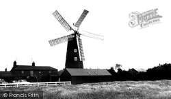
North of Wainfleet, on the Skegness to Lincoln road, Burgh le Marsh is a market town whose charter was granted in 1401. At its east end is another of Lincolnshire's preserved windmills.
Sandy was originally a modest Roman settlement on the Roman road between St Albans and Godmanchester; in the 18th century the town became important for its coaching inns servicing the Great North Road.
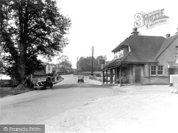
A small village with a common on the Portsmouth to Guildford main road near the Hampshire border. Chalk quarrying is carried out on the hills here.
Places (26)
Photos (14329)
Memories (11058)
Books (5)
Maps (476)


