Places
36 places found.
Did you mean: downs or doune ?
Those places high-lighted have photos. All locations may have maps, books and memories.
- Bangor, County Down
- Newcastle, County Down
- Greyabbey, County Down
- Donaghadee, County Down
- Downpatrick, County Down
- Portaferry, County Down
- Dromore, County Down
- Downings, Republic of Ireland
- Hillsborough, County Down
- Killyleagh, County Down
- Ardglass, County Down
- Rostrevor, County Down
- Dundrum, County Down
- Newtownards, County Down
- Warrenpoint, County Down
- Ballygowan, County Down
- Ballywalter, County Down
- Ballyward, County Down
- Bishops Court, County Down
- Boardmills, County Down
- Culcavy, County Down
- Katesbridge, County Down
- Killough, County Down
- Millisle, County Down
- Portavogie, County Down
- Saul, County Down
- Seaforde, County Down
- The Diamond, County Down
- Audleystown, County Down
- Kearney, County Down
- Annaclone, County Down
- Ballyhalbert, County Down
- Ballymartin, County Down
- Clare, County Down
- Conlig, County Down
- Dollingstown, County Down
Photos
1,089 photos found. Showing results 1,101 to 1,089.
Maps
459 maps found.
Books
47 books found. Showing results 1,321 to 1,344.
Memories
8,148 memories found. Showing results 551 to 560.
My Early Childhood Years
My grandfather worked at Murex down by the river and I loved being able to pick him up from work on the odd occassion with my late Mum, Dad and younger sister as we would be allowed to see any boats passing. I still love ...Read more
A memory of Rainham in 1964 by
Staying At The Bullers Arms
When i was 11 I started school at Tavistock, and met a lovely girl called Helen Desmond who became my best friend. Helen's family (sister Sandra and brother Jonathan) lived at the Bullers Arms and I used to stay there ...Read more
A memory of Mary Tavy in 1971 by
Boyhood Memories From 1952
It was around this time that the tram lines were taken up from Sunderland Road in Gateshead. The men stored the old lines in Somerset Street and Devonshire Street. As boys we would dig up the tar from around the ...Read more
A memory of Gateshead in 1952 by
Childhood Memories From 1949
I was born in Hubert Terrace which ran off Bank Street and along to Cuthbert Street. Further down was School Street and Marian Street which ran along to Derwentwater Road, and on Derwentwater Road was Lady Vernon ...Read more
A memory of Gateshead by
Swimming Above Stepping Stones Weir At Bothal
Our Mam being an Ashington lassie, we returned to her birthplace when Mam divorced my father who she met before the Second World War - that was when Mam was in London and working in 'service'. We were ...Read more
A memory of Bothal in 1949 by
A Quiet Haven Of Peace.
I lived next door to Davenham Church, and one summer's day, when I was about 7, I went for a walk around the churchyard. Hearing a rustling noise on the ground, I crouched down, parted some long grass, and found a baby ...Read more
A memory of Davenham in 1959 by
Mountpumps Farm Flimwell
I would love to hear from anyone who remembers my parents Les and Sheila Pickering who farmed Mountpumps Farm in Flimwell from about 1944 to 1951. Mrs Everett owned the farm and rented it to my parents. I know they were ...Read more
A memory of Flimwell in 1944 by
Croydon Thornton Heath And Norbury
I was born and brought up in Croydon and although I now live in the Channel Islands I still regard it as my home. I remember living in Northborough Road, Norbury and attending Norbury Manor Infants School only ...Read more
A memory of Croydon in 1963 by
The Smallfield Brickyard
I was born at 1 Kings Cottages in April 1931. I have two brothers, and as young boys we were close friends of the late Gerald Mitchel. Gerald's mum, nee Doris King, lived with her husband (Syd, who served with the RAF) ...Read more
A memory of Smallfield in 1930 by
My Second Home
Right from a small child i have grown up loving Wells-next-the-Sea, my dad used to take us on holidays there and we stayed in a little cottage which was a short walk to the quay where my brother and I would wander down to ...Read more
A memory of Wells-Next-The-Sea in 1969
Captions
2,258 captions found. Showing results 1,321 to 1,344.
Boscombe was built across a wooded chine (a wide ravine) that led down to the sea; these features are common along this coast.
Owned for centuries by the Aspinall family, Pendleton was an old village when the Domesday Book was compiled.
The last bottle kiln to be used commercially closed down in 1967.
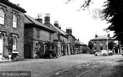
It is dominated by its cobbled Market Square, which leads down to the castle, home to the Ingilby family for more than 600 years.
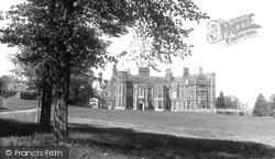
This beautiful Tudor mansion was built at the end of the reign of Henry VIII by the successful lawyer Sir John Hynde, partly from materials salvaged when they pulled down the church of St Etheldreda in
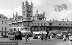
The balustraded enclosure on the traffic island surrounds steps leading down to The Island Club and the Parade Gardens, formerly known as St James's Triangle.
The Windmill pub, on the left, was a new replacement for an earlier building which had burnt down.
This view down Market Street shows how Whittlesey has prospered in the past fifty years.
Often described as the gateway to the Cotswolds, the picturesque town of Burford has changed little over the years.
New houses are appearing in the distance on Smitham Downs.
As the town grew, its businesses drifted off to the main London-Colchester road. St Nicholas' was built c1330.
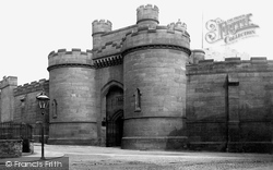
These awe-inspiring and formidable walls and gates were knocked down in 1934. At that time there were no conservation laws, and anything that was in the way of progress was destroyed.
Rip tides up and down the strait made the ferry a dangerous option, and earned the Menai the nickname 'the British Bosphorus'.
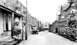
The narrow ancient streets of Harlech, a town that sprang up to serve the stronghold, have changed little over the years, as is shown by this picture of the High Street.
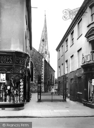
Its survival is due to Sir Gilbert Scott's putting his foot down most firmly. When a complete rebuild was proposed, he threatened to withdraw if the spire was removed.
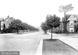
Lumley Avenue, with its chestnut trees and wide verges and roadway, is typical of the streets comprising the original grid layout of the Earl of Scarbrough's 1870s town plan.
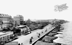
Ladies wishing to bathe would enter the machines from the landward side and horses would haul the contraptions down into the water.
Ladies wishing to bathe would enter the machines from the landward side and horses would haul the contraptions down into the water.
The sign is in the shop window with the blind drawn down, and can be deciphered when the photograph is considerably enlarged.
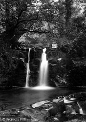
This is limestone country: the soft rock, assisted by the streams, forms magical shapes and contours as the water tumbles down.
Church Street leads down to St. Mary-le-Gill Church.
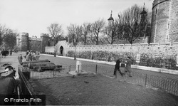
Down by the river bank, the paviours follow the line of the medieval wharf. Behind the moat are the medieval outer defences, the inner one overlooking the outer - the battlements are 19th-century.
Boats travelling down the Thames estuary from London were met by stagecoaches here, and their passengers were transported onward by road to Dover.
The Late 19th to the Early 20th Century Forget six counties overhung with smoke Forget the snorting steam and piston stroke, Forget the spreading of the hideous town; Think rather of the pack-horse
Places (198)
Photos (1089)
Memories (8148)
Books (47)
Maps (459)

