Places
26 places found.
Those places high-lighted have photos. All locations may have maps, books and memories.
- Cemmaes Road, Powys
- Six Road Ends, County Down
- Road Weedon, Northamptonshire
- Severn Road Bridge, Gloucestershire
- Roade, Northamptonshire
- Berkeley Road, Gloucestershire
- Harling Road, Norfolk
- Road Green, Devon
- Builth Road, Powys
- Cross Roads, Yorkshire
- Steele Road, Borders
- Cross Roads, Devon
- Four Roads, Dyfed
- Road Green, Norfolk
- Biggar Road, Strathclyde
- Clarbeston Road, Dyfed
- Five Roads, Dyfed
- Eccles Road, Norfolk
- Grampound Road, Cornwall
- Morchard Road, Devon
- Wood Road, Greater Manchester
- Four Roads, Isle of Man
- St Columb Road, Cornwall
- Clipiau, Gwynedd (near Cemmaes Road)
- New Road Side, Yorkshire (near Silsden)
- New Road Side, Yorkshire (near Cleckheaton)
Photos
14,329 photos found. Showing results 481 to 500.
Maps
476 maps found.
Books
5 books found. Showing results 577 to 5.
Memories
11,058 memories found. Showing results 241 to 250.
Machine Gunned On Churston Drive By A Young German Pilot
My Aunt Joyce (born 1931) used to live on Churston Drive. She told me this morning about how she was walking to school with a friend one morning during the war when a German plane machine-gunned ...Read more
A memory of Morden by
Good Times
I lived at 14 oak street Chapel of Ease. I can remember the two estates being built and the bridge in the photo is also the way I went to school at the west end primary school. The red phone box is still there I believe, in the photo the high ...Read more
A memory of Abercarn by
A Privilege To Grow Up Here!
I was born in 1961 in Thorpe Combe hospital in Walthamstow and brought up by my parents in Forest Edge Buckhurst Hill. I consider myself very privileged to have lived there for the first 26 years of my life and have ...Read more
A memory of Buckhurst Hill by
Big Strong Men Of Coal And Dust
As with many of the neighbors in our road we owned two coal fires, one in each downstairs room, with chimneys to match. Keeping the fires lit during cold winters required loose coal, supplied in huge bags, to be ...Read more
A memory of Bexleyheath by
The 1950s In Park Road
Combined Police Station and Library on the right behind the hedges - and at the bend on the right lived, in the early 50s, one of the first great computer experts with Manchester University, who died young, I later discovered. ...Read more
A memory of Timperley by
1960s Shopping In Uxbridge Road, Hatch End
On the left of this view is the pub sign for the "Railway Hotel" - a popular drinking venue for older members of St Anselm's Youth Club and the Hatch End Young Conservatives! Next door is a garage forecourt ...Read more
A memory of Hatch End in 1965 by
Stone In The 1950s
I am now 57 years of age, and live in Australia. I was born in Stone, Stafforshire in 1949 and would love to go back and visit. As a child I remember walking along the canal and standing watching as a blacksmith mended a horse's shoe. ...Read more
A memory of Stone in 1956 by
Forge Cottage (Blacksmith's Cottage)
My family and I lived in Forge Cottage (known to us as the Blacksmith's Cottage) from about 1962 to 1964, whereafter we emigrated to Canada. I have fond memories of the cottage and its low ceilings, the Aga in ...Read more
A memory of Easthampstead in 1963 by
2, Grove Cottages, Leatherhead Road
My brother Ray and myself lived at this address, depicted on the right of the photograph, with our parents, Alec and Doris, known as Dot and Davie. During the war a child from 1, Grove Cottages crawled through ...Read more
A memory of Great Bookham in 1944 by
Walderslade Thoughts
I live in the house where I was born in Walderslade. I have a huge collection of memories as, being 64 things that linger in the memory are triggered by living in the place you grew up. Kit Hill Avenue was originally cut ...Read more
A memory of Walderslade by
Your search returned a large number of results. Please try to refine your search further.
Captions
5,036 captions found. Showing results 577 to 600.
The signpost pictured here reminds us that Little Sutton straddles the main road linking Chester with Birkenhead.
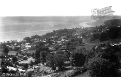
We are looking out over Grange to Morecambe Bay from Charney Well Road, which rises steeply above the town. Now, houses occupy the slope in front of the camera.
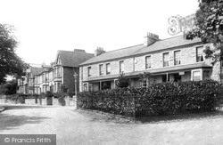
The iron fence and bushes in the foreground at the junction with Meathop Road have now gone, and the old street lamp at its end has been replaced by a modern one by the side of the road
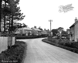
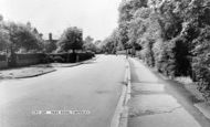
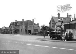
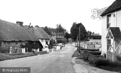
In this picture we have a wide road and little traffic.
Further along Nottingham Road, Frith's photographer looks eastwards towards Hill Top with the junction with Edward Road between the hedge and the wall.
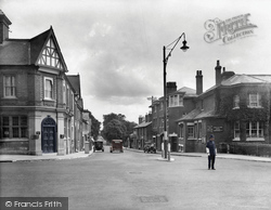
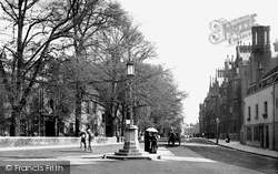
This scene is largely unchanged today, with the lamp-post still pleasingly in the middle of the road, but there are road markings now.
A section of road near here buckled, and it remained closed for six months. Finally, the ground was stabilised and the road was repaired.
Around the corner in Elms Road (which retains many of its mid-Victorian villas) is the Henry Thornton School, within the same site as the Marianne Thornton (C327056) and also part of the Clapham Centre
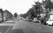
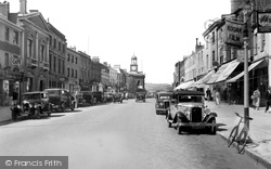
The freedom of the road, when roadside parking was an inalienable right, can be seen in a view westwards to the Town Hall (centre) from opposite the Golden Road Cafe (far left).
The main road we see in this photograph is the busy A343 Andover to Salisbury route. At the foot of the hill is a junction. Left is for Nether Wallop and right is for Over Wallop.
The centre of Heswall was originally much closer to the shoreline, probably in the area around Village Road and St Peter's Church, but the advent of Telegraph Road - the A540 - has moved the commercial
South Road became so dominant that it altered the character and subsequent development of other areas within the town such as Commercial Square, Boltro Road, and the Broadway.
In 1879 the only development along Vann Road was two chapels: an Ebenezer Chapel built in 1852 just beyond the slate-hung Hazel Cottage, on the right, and a Methodist one, whose roof slope and gable
This follows the course of the old Roman road from London to Chichester, called Stane Street, which is nowadays the busy A24 road from London to Worthing.
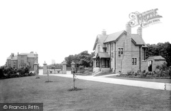
This picture shows the Ormerod Road gates from inside the park. To the right is the Keeper's Lodge. Notice that the gates are decorated with the town's coat of arms.
It sits high on Dartmoor, alongside the Moretonhampstead to Princetown road, near where the East Dart river rises. The bleak moorland road to Moretonhampstead stretches out into the distance.
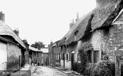
Off London Street, just before the King's Head, Dene Road is seen here dropping into London Street at the corner beside the King's Head. The thatched cottage on the left still stands.
The road on the right had an extremely steep gradient and was the old roadway before the Heads of the Valleys Road.
At the corner of the B4025 and the entrance road to Broughton Castle, we see the Saye & Sele Arms advertising Chesham & Brackley Breweries Ltd.
At the junction of Common Road and Slough Road, two College schoolboys, one carrying a cricket bat over his right shoulder, are seen walking past the 'Burning Bush'.
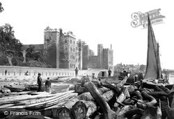
Lambeth Palace, residence of the Archbishop of Canterbury, is seen from a barge loaded with timber.
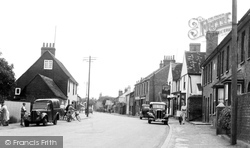
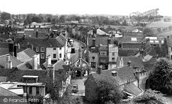
There are no road markings on the road at this date. The undulating roofline of the houses in the High Street makes a very attractive scene.
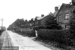
This between-the-wars view along Beaconsfield Road shows the straight forest road and one lone delivery boy. Soldiers of the Portuguese army were stationed here in World War I.
Not much else is visible in this otherwise largely shop-less scene before the Great War, when the eastern half of the main road - which would become the A35 with the creation of the strategic Folkestone
Places (26)
Photos (14329)
Memories (11058)
Books (5)
Maps (476)


