Old Maps of Lle'r-neuaddau, Dyfed

Historic maps of the Lle'r-neuaddau area
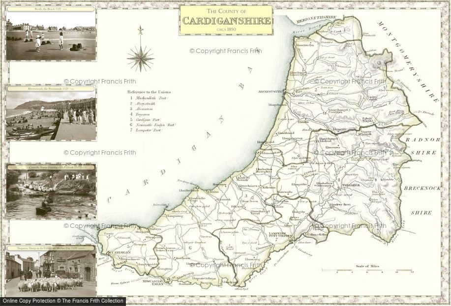
Old Historic Victorian County Map featuring Dyfed dating back to the 1840s available to buy in a range of prints, framed or mounted or on canvas.
Ceredigion, 1840
Samuel Lewis County MapsScale: ~7 miles to 1 inch
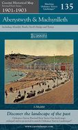
Folded Sheet Maps of Lle'r-neuaddau
Folded sheet maps covering Lle'r-neuaddau area are available. These maps are taken from historic Ordnance Survey's sheet maps. They have all been carefully scanned, digitally re-projected and enlarged to match the present-day Ordnance Survey Landranger® series. Each map is directly comparable with the corresponding Ordnance Survey Landranger® and uses the same sheet number and grid references, so enabling the past and the present to be compared with ease and accuracy.


