Places
26 places found.
Those places high-lighted have photos. All locations may have maps, books and memories.
- Cemmaes Road, Powys
- Six Road Ends, County Down
- Road Weedon, Northamptonshire
- Severn Road Bridge, Gloucestershire
- Roade, Northamptonshire
- Berkeley Road, Gloucestershire
- Harling Road, Norfolk
- Road Green, Devon
- Builth Road, Powys
- Cross Roads, Yorkshire
- Steele Road, Borders
- Cross Roads, Devon
- Four Roads, Dyfed
- Road Green, Norfolk
- Biggar Road, Strathclyde
- Clarbeston Road, Dyfed
- Five Roads, Dyfed
- Eccles Road, Norfolk
- Grampound Road, Cornwall
- Morchard Road, Devon
- Wood Road, Greater Manchester
- Four Roads, Isle of Man
- St Columb Road, Cornwall
- Clipiau, Gwynedd (near Cemmaes Road)
- New Road Side, Yorkshire (near Silsden)
- New Road Side, Yorkshire (near Cleckheaton)
Photos
14,329 photos found. Showing results 1,821 to 1,840.
Maps
476 maps found.
Books
5 books found. Showing results 2,185 to 5.
Memories
11,058 memories found. Showing results 911 to 920.
Does Providence Cottage Still Exist
My paternal grandmother, May Moss, used to live in Providence Cottage in Hatfield Peverel. Does anyone know if it still exists, and what road it is in? Presumably it was connected to the Church in some way.
A memory of Hatfield Peverel by
Summer And Sadness
It was the summer of 1981 and we had rented a cottage in Mousehole for the summer school holidays. My friend's aunt and uncle lived just across the road and it was through them that we were able to rent the cottage. I took my two ...Read more
A memory of Mousehole in 1981 by
Grandmother Born1876
My grandmother used to tell me stories of Gateshead days when I was a kid, for example Tommy-on-the Bridge, area Bottle Bank, apparently was a permanent fixture in those days, he stood on the Swing Bridge, might have been ...Read more
A memory of Gateshead in 1890 by
Woolies !
I found this site through a link on another, which had pictures of old buses - http://www.old-bus-photos.co.uk/?cat=51 I commented there on some of the Yorkshire Woollen District Transport fleet, which my dad used to drive. I was born in ...Read more
A memory of Dewsbury in 1974 by
More About Hazlemere Cross Roads
I lived in Rushmoor Avenue until I was 8 (1957-65 )and then in Eastern Dene (1965-1974). When I was small, I used to accompany my mother on her shopping trips to Hazlemere crossroads (usually on foot). The chemists ...Read more
A memory of Hazlemere by
Leven In The 1950s
I was five and lived on Links Road where my father had a grocer's shop. I was able to run down the burn path to the beach to swim in the sea or play in paddling pool. We would go to the summer shows in the Beach pavillion or ...Read more
A memory of Leven in 1957 by
Old Southall Remembered
I lived in old Southall (Norwood Road - Norwood Green end) during the 1960s to the 1990s and have seen great changes. I went to school at Clifton Road, and the school had a great Headmaster, Mr Hancock, for a while. One ...Read more
A memory of Southall
Childhood
I was born in May Street and then moved to Brook Street where I went to school. It was very handy as I only lived across the road. I then went to the secondary school where I played hockey for the 2nd Eleven. I still live here now. Sadly ...Read more
A memory of Snodland by
Pig Farm
I can recall going with my father up to Barkingside after an air raid during the Second World War and seeing a farm that had been hit. There were fire hoses all over the road and pigs running up the High Street. The farm was just across the ...Read more
A memory of Ilford by
The Orchid Ballroom Purley
Ah yes, I remember it well. It was magical to go there and dance the evening away. So many great bands in the 50's. The floor was great, the music super. I learned to dance at a place called Quinns dance school near ...Read more
A memory of Croydon in 1950 by
Your search returned a large number of results. Please try to refine your search further.
Captions
5,036 captions found. Showing results 2,185 to 2,208.
Since the earlier photograph the road surface has been improved by 'metalling', and many of the old gas lamps have disappeared.
The building of the M4 created vast numbers of jobs, and the road continues to sustain those that remain working in local industry.
Across the road from the Lion is another coaching inn, built originally with a courtyard plan but re-fronted in the early 18th century. It has galleried timber-framed rear wings.
The road to the right leads to Callas Hill and Foxhill.
This is taken from Old Kirton Road, looking towards the capped top of the mill, now Mill Close.
These photographs are not an opportunity to comment on the drinking habits of Newtonians, but an interesting study in contrasting styles in licensed premises - road house, local welcome
Further along, across the road, enlargement of the photograph reveals a branch of Boots – Boots is still on this site today, but in a new shop that was built in the 1960s.
This road was built on the site of Rookery Farm, and an ancient footpath still runs through this estate which was used to service the farm.
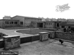
Just off Hardwick Road is Girnhill Infants' School, which opened on 30 April 1960 to accommodate youngsters from the huge housing estate which partly replaced the earlier Coal Board houses seen in the
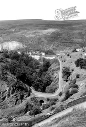
The road to Brynmawr winds around the hillside from the village of Gellifelyn, on the right.
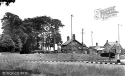
This is where the road between Knutsford and Macclesfield crosses the one from Alderley Edge village to Holmes Chapel.
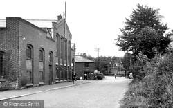
This was the iron works that made such things as the bridge over Micheldever Road.
It retains a distinctly rural character, yet also has the attributes of a small town with shops on either sideof the road.
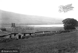
At the end of the road from Countersett is Stalling Busk, looking out over Semerwater.
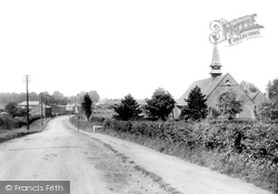
A country lane, a straggle of houses and open countryside is all we see as we look down Collier Row Road with the Church of the Ascension on the right.
This was the main London-Colchester road. Stage-coaches used to change horses at The Plough (right). The pub is the one feature of this scene to stay relatively unchanged.
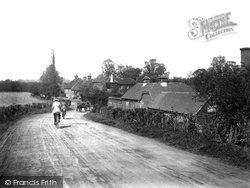
The two cyclists appear to be freewheeling along the road through Runfold. It was once one of Farnham's hop- growing villages, and poles for the bines can be seen on the far left.
The Gordon Road and Commonside areas of Ansdell still had whitewashed fishermen's cottages.
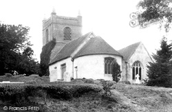
The church site may have been used at an earlier date and lies only a short distance from the line of The Devils Highway, a former Roman road.
This is another view of the High Street, although here the road is much wider. The London Co-operative Society shop can be seen on the right.
The high road over to Boulby can be seen on the right, passing the traditional pigeon lofts. The beck in the foreground still runs brown with the colour of the local ironstone seams.
The trees in the background have grown over what was once a quarry; evidence for it survives in nearby lime kilns, which can be seen from the road.
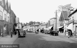
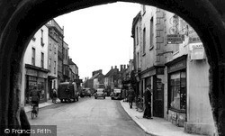
The road at this junction has traffic going in both directions, unlike today, when as part of the High Street one-way system the traffic now flows towards the market cross.
From 1899 mass was celebrated in a corrugated iron building in Croft Road, but in 1904 the Godalming Catholic Parish was created and a new priest, Father Hyland, was appointed.
Places (26)
Photos (14329)
Memories (11058)
Books (5)
Maps (476)


