Places
3 places found.
Those places high-lighted have photos. All locations may have maps, books and memories.
Photos
63 photos found. Showing results 481 to 63.
Maps
12 maps found.
Books
1 books found. Showing results 577 to 1.
Memories
7,562 memories found. Showing results 241 to 250.
39londonroad
I was born in Hackbridge in 1944. I lived there until 1953 when my grandparents, aunts, uncles, and cousins put me on a plane on May 2 to join my father who had emigrated to Canada the year before. My mother, who had lived in ...Read more
A memory of Hackbridge in 1944 by
"Any Old Iron"
This photo brings back lots of memories for me as it shows High Road, Woodford Bridge which is where the old-fashioned ironmongers that my family owned was situated. There had been one on the site since the beginning of the 20th ...Read more
A memory of Woodford Bridge in 1974 by
The Shore Of Wood And Glass
Eynort shore is not the prettyist in the west, but it's washed up some odd things from time to time, Both myself and my brother have found messages in a bottle, and a least half a dozen bombs or old test missiles which all ...Read more
A memory of Eynort
Meeting Street
I have a copy of the Meeting Street photo as the girl standing in the road (with the black sleeve) is my Grandmother SARAH POWE (nee Lesley). The family house was at 29 Meeting Street just out of view. Grandmother also ran the BELL ...Read more
A memory of Appledore by
Old Northfield
The stretch of road we see is called Bell Lane. Bell Lane curves back to Bristol Rd. The big house partly seen in the distance is Bell House which has quite a history.To it's left goes Bell Holloway (still fairly unaltered) and to ...Read more
A memory of Northfield in 1930 by
My Summer Holidays
It is great to see this scene again, 47 years later. My family and I spent our holidays in this village with my grandparents (Russell), and my auntie & uncle and cousins (Shawcross). They all lived in the cottage shown to the ...Read more
A memory of Rendham in 1961 by
"Kiss Me, Hardy"
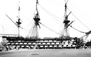
I've only been onboard the Victory once. It was enough to profoundly strike my imagination. I stood where Nelson fell ! It brings tears to my eyes to think of it now as I write. She is an incredible vessel. You can almost hear the ...Read more
A memory of Portsmouth in 1955 by
An Unappreciated History
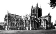
When you grow up in an ancient city such as Hereford and have really no other frame of reference you don't fully grasp the enormity of the depth of history that buildings such as Hereford Cathedral embodied. The Romans built ...Read more
A memory of Hereford in 1957 by
My First Job
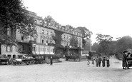
I worked at the Pier Hotel in the summer of 1960. It was my first job. I was a commis waiter ..didn't really like it at all...but I was billeted out at a nearby village. I had my first drunk drinking scrumpy mixed with cheap red wine ...Read more
A memory of Seaview in 1960 by
Paglesham History
Well no personal memory for me - but my family go back to the mid to late 18C and was landlord of the punch bowl, and oyster dredgermen to the 1960s. We have a massive collection of photos from this area at www.familyunited.co.uk.
A memory of Paglesham Churchend in 1900 by
Captions
2,471 captions found. Showing results 577 to 600.
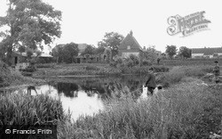
Boys fish beside the lode that was once busy with barges. On the opposite bank is a typical fen farmhouse with a steep roof and tall parapet gables. Boats were loaded at Hythe Lane.
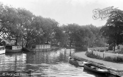
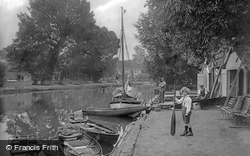
Here we see the peaceful banks of the New River, with houseboats and leisure craft moored alongside.
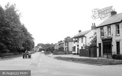
These houses and shops were built on the old green when the railway cut through the village in c1850. Lloyds Bank occupies a house and shop combined (right), and next door is the Plough pub.
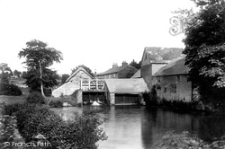
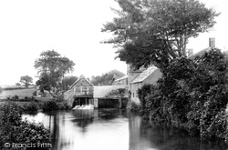
Here we see East Mill and its mill pool, looking eastwards from the north bank of River Asker, towards houses beside East Road (centre).
An obelisk 265 yards below the lock marks the boundary of the jurisdiction of the Port of London Authority and the Environment Agency.
St Vincent's Place was right in the commercial heart of the city with the National Bank, the Royal Exchange, the Stock Exchange, and the Athenaeum club all nearby.
Dittisham is one of the larger villages along the steeply wooded banks of the romantic Dart estuary. A foot ferry takes passengers across the river to Greenway, once the home of Dame Agatha Christie.
Many places stake a claim to be either the burial place of King Arthur or the site of his last battle. His last battle was at Camlann, whose name means crooked bank, or glen.
Many places stake a claim to be either the burial place of King Arthur or the site of his last battle. His last battle was at Camlann, whose name means crooked bank, or glen.
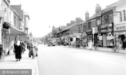
There were a whole range of shops along the Broadway, ranging from a chemist's, a sweet shop, a gentlemen's outfitter's, a garage, a bank and the gas showroom, but competition was to follow from
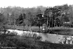
The round house on the north bank of the river was a popular bathing spot.
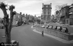
The tall building in the centre of the picture is the former Barclays Bank, since demolished. To the front of it we can see the war memorial.
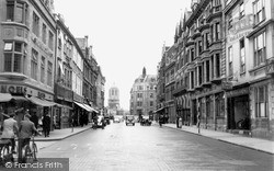
This photograph shows Cornmarket Street running down to Carfax, with the outline of Tom Tower dominating St Aldates on the far side.
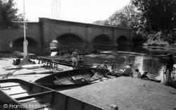
This view looks downstream to the Rush Cutters pub from the south bank. The boating business is still there; it is now called Hearts Cruises, and has a wider range of boats than in 1919.
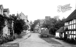
An evangelical mission wagon lies idle in the quiet village street. This large parish runs along the eastern bank of the Severn for several miles.
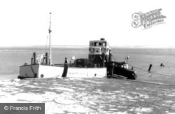
Prior to the building of the Severn Bridge, which now sweeps above the peninsula of Beachley Point, this little powered ferry carried small vehicles across the Severn to the outskirts of
Looking down towards St Andrew's Street, with First Court, the oldest part of Christ's College, in the distance. The Capital and Counties bank (now Lloyd's) and Post Office are in the foreground.
East Mill stood on the north side of East Road and was powered by the River Asker. This view, dating from 1904, looks eastwards from the north bank and duplicates picture 43865.
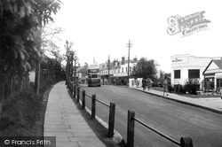
This is a useful spot in the street: the Post Office is on the left, the Trustee Savings Bank is adjacent to the bus, and the shiny new frontage of the Co-op is second on the right.
Back in the 1950s it would have been quite normal for a bank to have a branch in a small village. Rationalisation has seen a good many of them close down.
By 1086 the Soar Valley was well settled, and although the Domesday village of Barhou offers little to delight the visitor, the river has a watery magnetism which draws families from Leicester to its banks
The Buckland Drives, following the rim of the flatter land high up on the eastern bank of the Dart, were very popular during the 19th century.
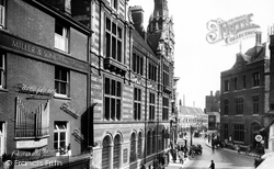
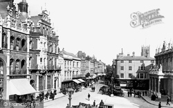
On the left is the red brick and stone Lloyds Bank building, with its fretted skyline, while to the right is the neo-classical Post Office, built in 1881.
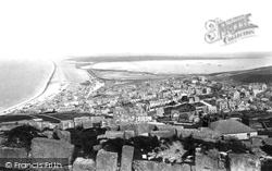
This is a spectacular view from the top of Portland, with the expanse of the Chesil Bank on the left, stretching 16 miles along the Dorset coast to Barton Cliff, and the broad expanse of Portland Harbour
Places (3)
Photos (63)
Memories (7562)
Books (1)
Maps (12)


