Places
36 places found.
Those places high-lighted have photos. All locations may have maps, books and memories.
- Cardiff, South Glamorgan
- Barry, South Glamorgan
- Penarth, South Glamorgan
- Rhoose, South Glamorgan
- St Athan, South Glamorgan
- Cowbridge, South Glamorgan
- South Molton, Devon
- Llantwit Major, South Glamorgan
- Chipping Sodbury, Avon
- South Chingford, Greater London
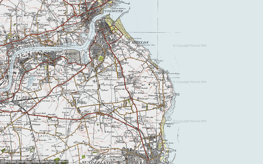
- South Shields, Tyne and Wear
- Ayr, Strathclyde
- St Donat's, South Glamorgan
- Llanblethian, South Glamorgan
- Thornbury, Avon
- Llandough, South Glamorgan
- Fonmon, South Glamorgan
- St Nicholas, South Glamorgan
- Jarrow, Tyne and Wear
- Penmark, South Glamorgan
- Font-y-gary, South Glamorgan
- Maybole, Strathclyde
- Yate, Avon
- Oxford, Oxfordshire
- Torquay, Devon
- Newquay, Cornwall
- Salisbury, Wiltshire
- Bournemouth, Dorset
- St Ives, Cornwall
- Falmouth, Cornwall
- Guildford, Surrey
- Bath, Avon
- Looe, Cornwall
- Reigate, Surrey
- Minehead, Somerset
- Bude, Cornwall
Photos
5,607 photos found. Showing results 1,461 to 1,480.
Maps
2,499 maps found.
Books
23 books found. Showing results 1,753 to 23.
Memories
1,577 memories found. Showing results 731 to 740.
Memories Of The 1950s
I was born in1930, in Jarvis Road South Croydon. My memory is of starting at the Davis Cinema (the largest in Europe when it was built). I remember seeing Nat King Cole perform live at the Davis. My mates and I would start ...Read more
A memory of Croydon in 1949 by
1961 To 1971
My family moved to Arundel Drive when I was a baby. Like most of the houses we had a shared drive where you couldn't access the garage. I remember this caused a lot of problems with the neighbours. Have just returned from a ...Read more
A memory of South Harrow by
Guinea Gap Baths
Me and my friend Marilyn, went to Primary school together in London. Her dad was the manager of our local swimming baths. I was devastated when he was offered promotion, it was at a pool in Wallasey, called Guinea Gap Baths. This ...Read more
A memory of Wallasey in 1960 by
An Evacuee Remembers
A South Londoner, I was 12+ when WWII started in September 1939. I was evacuated with Wandsworth Central School to Farncombe, and remember sitting on the floor in a large hall waiting for someone to 'adopt' me. Eventually, I ...Read more
A memory of Farncombe in 1940 by
On The School Bus
Between 1964 and 1966, I used to travel by bus from Haywards Heath to school in Burgess Hill, going over Keymer crossing twice a day. If we were lucky, a train would be coming and we would get to see the crossing in action. ...Read more
A memory of Burgess Hill in 1966 by
The Bailey Family
I have lovely childhood memories of visiting Nanna and my Aunties in South Elmsall/South Kirkby. Saturday mornings were always spent at Elmsall Market doing the weekly shopping, cup of tea at the Market Cafe followed by fish ...Read more
A memory of South Kirkby by
Memories Of Elizabeth Gallimore
I was born in 19 Windsor Terrace in 1949. I remember growing up in Haswell and going to the school at the top of the road opposite Church Street where I went to both the infants and the juniors. We used to go up the ...Read more
A memory of Haswell in 1959 by
The Ansons
My father Robin Anson, was the second son of Violet and Lawrence Augustus Anson. Lawrence was brought up by his grandparents who lived in one of the cottages opposite the Triton pub. His mother Beatrice, was a maid in Bridlington ...Read more
A memory of Brantingham in 1930 by
The Coombs Family From Kent Approz 1921 1935
My dad, lived with his family in Bolton upon Dearne from the age of about 3yrs in 1921. They were (like many others) very poor. My grandad, Frank Coombs (who my dad is named for) and my ...Read more
A memory of Bolton Upon Dearne by
Thorne As I Remember
So much and so little time; Green Top Primary School, happy days before the big move up to the Grammar School or North Eastern Road Secondary Boys. Mr Morris for metal work, Mr Snow for woodwork. Mr Colin Ella for religious ...Read more
A memory of Thorne by
Captions
2,476 captions found. Showing results 1,753 to 1,776.
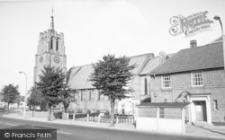
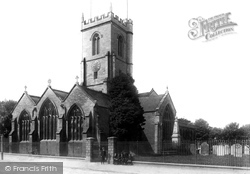
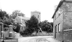
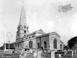
This is St Mary`s parish church in South Street, seen from the north-east. The projecting north transept (right) dates from the 13th century and is two centuries older than the tower.
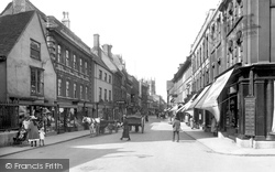
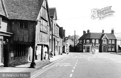
Frith's photographer has moved into the High Street and is looking south towards The White Horse pub - which is little changed today.
Coningsby, on the south bank, has lost much of its historic character: in this view of Silver Street the house in front of the mill survives, but not the mill; all to the left has gone, and the road at
Built for Peter Birt in the 1770s to a design by Robert Adam, this grand residence was for many years renowned for its beautiful interiors, their opulence virtually unparalleled in South Wales.
All the streams rejoin the river further south. The house left centre was St Agnes, and became a doctor's surgery. The River Inn has now been built there.
The walls have been constructed of flints (which are copious in the chalk hills of the South Downs) and edged with stone at the windows and doors.
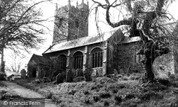
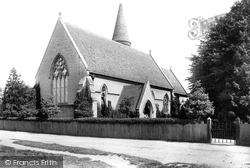
Situated on the south-west side of the village, the church was heavily restored by Frederick Peck of Maidstone in 1872.
The chancel arch and font date from this time, the tower is late 14th-century and the south aisle was added during a restoration of 1531.
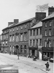
Further east, at the junction with Ironmonger Street, the quality of the Georgian stone or stucco façades on the right is evident, while on the left or south side there is more variety.
South of Lincoln a string of villages grew up along the western edge of the limestone ridge, mostly along the spring line.
Described as 'Robin Hood's village', Edwinstowe lies south of the Sherwood Forest Country Park.
The brick footpath heads towards the porch which, with the south aisle, was added in 1870 to designs by H E Rumble.
We are looking south-eastwards from the Yetminster road towards the mediaeval Hamstone cross in a triangle of cobbles (centre), with roads at the junction signed to Sherborne (left) and Chetnole (right
Albion Road, the most easterly of the Victorian developments south of the railway, has its back garden fences along the parish boundary with Carshalton.
This is an interesting view of All Saints' Church at the south end of the Green.
Here Bonnie Prince Charlie rested overnight on his march south during the Jacobite uprising of 1745.
In 1750 the Trust did build two new bridges over the Rivers Hit and Flit, and North Bridge Street and South Bridge Street to run between them.
The town was built on the coal industry, as were many in South Wales; Porthcawl was a coal port in the 19th century, but it declined in the face of competition from Barry and Port Talbot.
Around the Market Place at this time were a large number of pubs used by the town's seafarers (South Shields had the largest number of seamen as a proportion of its population than anywhere else in Britain
Set on the south coast of the Lleyn peninsula, at the mouth of the Penrhos river, it was once a thriving commercial port; but the sea threw a sandbank across the mouth of the Afon Erch, causing the maritime
This spacious town lies at the head of Bala Lake (Llyn Tegid), the largest natural lake in Wales, with a narrow-gauge railway running along its south-eastern shore.
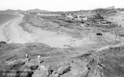
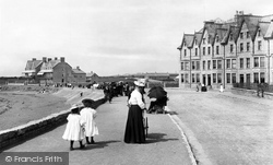
This photograph looks south along the sandy beach, which stretches for some three miles.
Now we look westwards down the south side of West Street, from Knight and Son, tailors (far left). The next building housed stationer and printer W Frost who published the 'Bridport News'.
South-east of Coleshill, Seer Green was a small village that became a separate parish in 1847.
Places (15471)
Photos (5607)
Memories (1577)
Books (23)
Maps (2499)


