Merry Christmas & Happy New Year!
Christmas Deliveries: If you placed an order on or before midday on Friday 19th December for Christmas delivery it was despatched before the Royal Mail or Parcel Force deadline and therefore should be received in time for Christmas. Orders placed after midday on Friday 19th December will be delivered in the New Year.
Please Note: Our offices and factory are now closed until Monday 5th January when we will be pleased to deal with any queries that have arisen during the holiday period.
During the holiday our Gift Cards may still be ordered for any last minute orders and will be sent automatically by email direct to your recipient - see here: Gift Cards
Places
36 places found.
Those places high-lighted have photos. All locations may have maps, books and memories.
- Cardiff, South Glamorgan
- Barry, South Glamorgan
- Penarth, South Glamorgan
- Rhoose, South Glamorgan
- St Athan, South Glamorgan
- Cowbridge, South Glamorgan
- South Molton, Devon
- Llantwit Major, South Glamorgan
- Chipping Sodbury, Avon
- South Chingford, Greater London
- South Shields, Tyne and Wear
- Ayr, Strathclyde
- St Donat's, South Glamorgan
- Llanblethian, South Glamorgan
- Thornbury, Avon
- Llandough, South Glamorgan
- Fonmon, South Glamorgan
- St Nicholas, South Glamorgan
- Jarrow, Tyne and Wear
- Penmark, South Glamorgan
- Font-y-gary, South Glamorgan
- Maybole, Strathclyde
- Yate, Avon
- Oxford, Oxfordshire
- Torquay, Devon
- Newquay, Cornwall
- Salisbury, Wiltshire
- Bournemouth, Dorset
- St Ives, Cornwall
- Falmouth, Cornwall
- Guildford, Surrey
- Bath, Avon
- Looe, Cornwall
- Reigate, Surrey
- Minehead, Somerset
- Bude, Cornwall
Photos
5,054 photos found. Showing results 1,281 to 1,300.
Maps
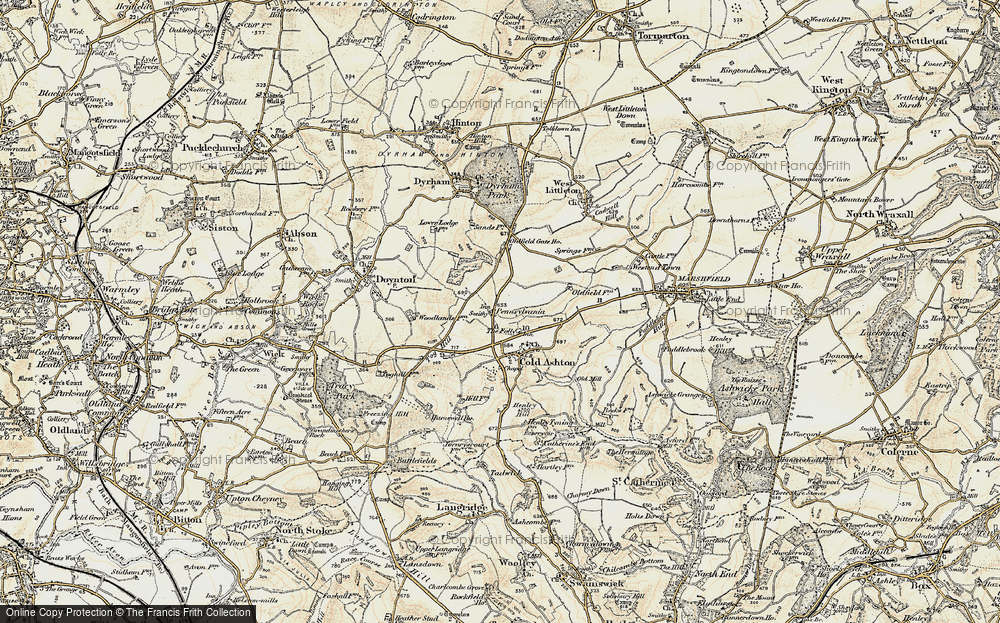
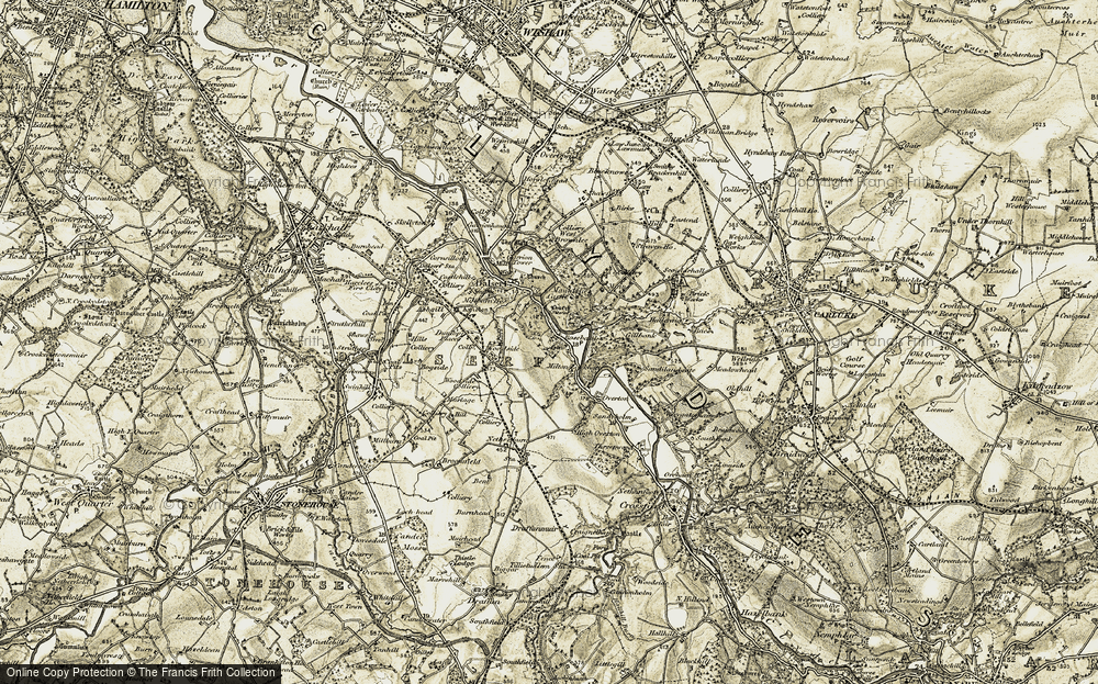
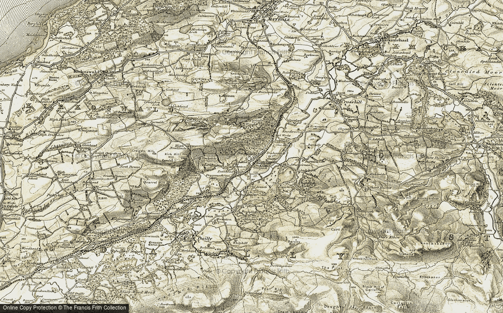
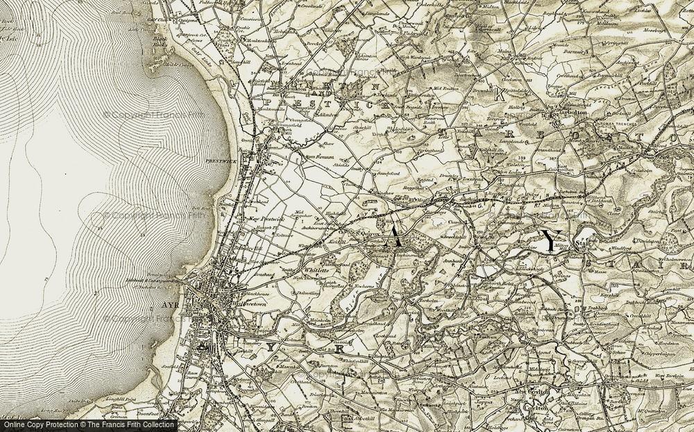
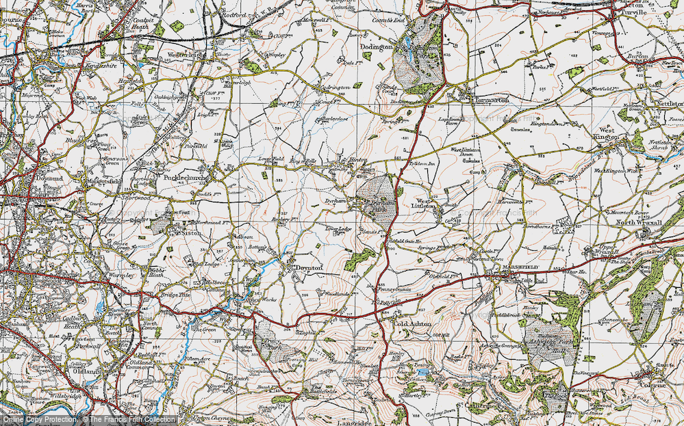
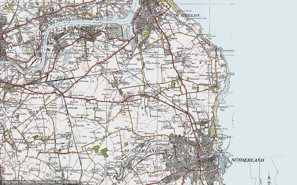
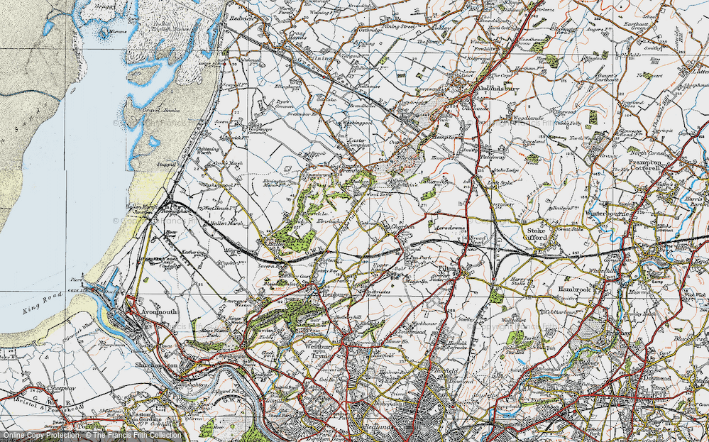
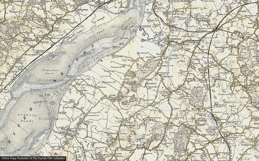
2,499 maps found.
Books
1 books found. Showing results 1,537 to 1.
Memories
1,580 memories found. Showing results 641 to 650.
1949 On In South Harrow
I was born in 1949 and lived 96 Reading Road Northolt Park. Spent many years in the area around South Narrow shops, Saturday morning flicks and at the station collecting bus and train numbers. My local station being ...Read more
A memory of South Harrow by
Park Ave South, Hornsey
I lived at 78 Park Ave South, Hornsey from 1943 to 1959. I was 4yrs old when we moved in. My first memory is wheeling my doll pram with my parents from Crouch End to our new apartment. We were two houses away from the narrow ...Read more
A memory of Hornsey by
An Image From My Memory....!
My mother passed away in 1955 just two days after my 12th birthday following which a couple who my father knew and who had a handicapped son in a children's home in the village in Suffolk where I lived took me to their ...Read more
A memory of Little Common by
Rashies
I chose Rashies as the title because South Park of Bradieston was known locally as Rashies. I was born in the farm house of South Park of Bradieston on 7th Sept 1944.I am the middle one of 5 children of James and Ethel Peters.4 ...Read more
A memory of South Park of Bradieston by
Boarding School Memories
My friend Catharine (Katie) was also at this school in 1946/47, about 7 years old before moving to South Africa. I remember walking in a crocodile line, carrying a hot brick to keep warm, on the walk to the ...Read more
A memory of Blewbury in 1946
Colerne In The Second World War Continued 2
Following my previous memories, it might be worth mentioning one or two of the Colerne shops and tradesmen. On the south side of the marketplace, opposite the 'cross tree', was a shop, a greengrocer's I ...Read more
A memory of Colerne in 1940 by
Purfleet A Very Nice Community
We moved from the garrison to the village just after the floods, I was 12. We moved into Malakwa, next door to the post office run by Mr and Mrs Smith and their daughter Silvia (I had a crush on her but that is ...Read more
A memory of Purfleet in 1951
White Horse Road
My first serious girl friend lived in White Horse Road. She worked in her father's small grocery shop in Green Street. I recall I had to buy quite a few jars of jam before I could pluck up courage to ask her out on a date, as it ...Read more
A memory of East Ham in 1958 by
Gliderdrome
I used to go roller skating three times a week at the Gliderdrome, when I was in my late teens, also after my National Service. One particular night stands out. I was skating backwards when I fell over someone who was already on the ...Read more
A memory of Boston by
So Far Away Yet So Near
Such a familiar sight - the High Street with what looks like a number 47 RT AEC bus approaching. I actually lived in Coney Hall, but Bromley was only a 5d ride away (or 6d to the North if going to the Odeon or Pullman ...Read more
A memory of Bromley by
Captions
2,444 captions found. Showing results 1,537 to 1,560.
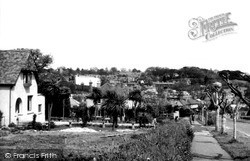
We are looking south-eastwards from the carriageway; the next-door neighbours are St Anne's at No 6 (left) and Shamien House at No 8 (right).
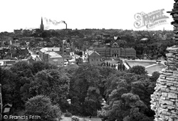
The direction is south-east, and municipal buildings occupy the centre ground. Centre left is the combined police and fire station in Tower Street, referred to earlier. Note the six-storey tower.
On the opposite corner of Monk Street the agricultural merchants has gone, to be replaced by the new South Wales Electricity Board building.
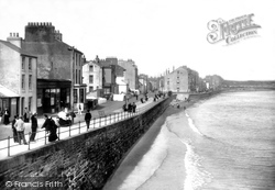
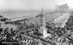
At the height of the season the South Promenade would often be crowded with holidaymakers.
A vital landmark building in trying to relate these early views to present-day Skegness is the Jubilee Clock Tower, erected at the junction of Lumley Road with the then seafront's Grand Parade and South
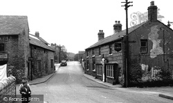
Bradwell is a bustling little former lead mining village on the south side of the Hope Valley in north Derbyshire.
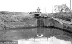
Silhouetted against the skyline, the south lock- house does not immediately appear to be a part of one of the county's major tourist attractions.
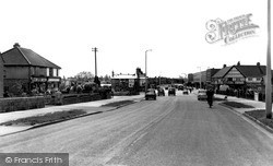
Looking South This photograph shows the wide carriageway of Cricklade Road leading to Stratton Crossroads, with the junction of Beechcroft Road to the left and Whitworth Road to the right.
The bypass on the south side of town was opened in 1926; it was much needed to relieve the narrow streets of both local china clay and through traffic.
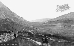
The pass is said to have taken its name from a large rock which looks like a gable end of a church.This view looks south towards Troutbeck, with the shoulder of Broad End on the left.
The church itself was extensively remodelled in 1879-90, and further work was done in 1908 when the south aisle and porch were rebuilt.
Abbot Hall was then rebuilt, and it was considerably extended in 1868, when the tower and south west wing were added.
We are looking down from the Triangle, and we can see the Freeman, Hardy & Willis shoe shop on the left, AJ Perham's Hair Cutting Rooms on the right, and the South Western Gas Board at the end of the street
The main residential block, including the great hall, was sited along the south side of the inner curtain wall.
Also nearby and out of view is the Scott Polar Research Institute, founded as a memorial to Captain Scott and his colleagues who died in their expedition to the South Pole.
Although the harbour is accessible in all states of the tide, south-easterly winds cause a heavy swell to enter the harbour, necessitating caution when navigating the entrance.
So proclaimed the South Wales Echo in its December 1956 review of the facility. At this time, Wales's most modern teaching hospital could boast 379 beds, with an aim to reach the 1000 mark.
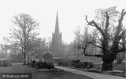
The church dominates views from the south while behind it, to the north, are the remains of the Norman motte and bailey castle. Remarkably, the brutally pruned lime trees survive.
George Lynn advertises his wares with considerable vigour on the south side of the triangular square, originally called Cross Bank.
Situated four miles south-west of Swansea overlooking Swansea Bay, Oystermouth derives its name from a Norman/English corruption of Ystmllwynarth.
To the south of the village, brick making has been an important local industry.
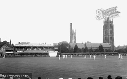
The headquarters of Somerset County Cricket Club, founded in 1875, lie on the south bank of the River Tone; although the grandstands are much changed, the arched one still in essence survives.
A mile south-west we come to Athelney, a name redolent of Anglo-Saxon history.
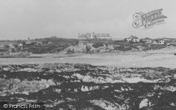
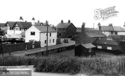
This view is taken from the steps up to the sea wall behind the dunes, and looks across the small resort of Sandilands, just south of Sutton on Sea.
Places (15471)
Photos (5054)
Memories (1580)
Books (1)
Maps (2499)


