Merry Christmas & Happy New Year!
Christmas Deliveries: If you placed an order on or before midday on Friday 19th December for Christmas delivery it was despatched before the Royal Mail or Parcel Force deadline and therefore should be received in time for Christmas. Orders placed after midday on Friday 19th December will be delivered in the New Year.
Please Note: Our offices and factory are now closed until Monday 5th January when we will be pleased to deal with any queries that have arisen during the holiday period.
During the holiday our Gift Cards may still be ordered for any last minute orders and will be sent automatically by email direct to your recipient - see here: Gift Cards
Places
36 places found.
Those places high-lighted have photos. All locations may have maps, books and memories.
- Cardiff, South Glamorgan
- Barry, South Glamorgan
- Penarth, South Glamorgan
- Rhoose, South Glamorgan
- St Athan, South Glamorgan
- Cowbridge, South Glamorgan
- South Molton, Devon
- Llantwit Major, South Glamorgan
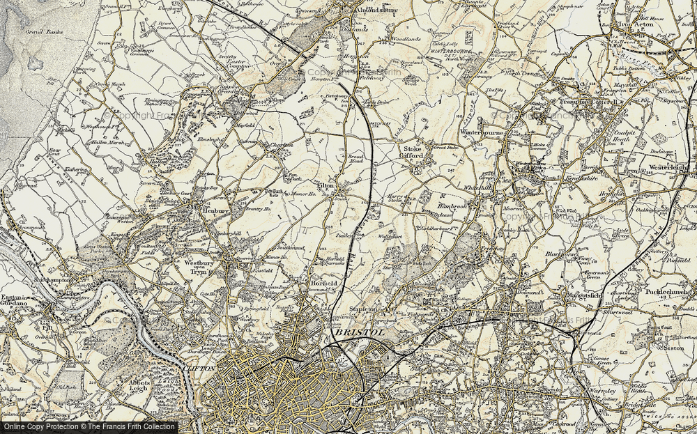
- Chipping Sodbury, Avon
- South Chingford, Greater London
- South Shields, Tyne and Wear
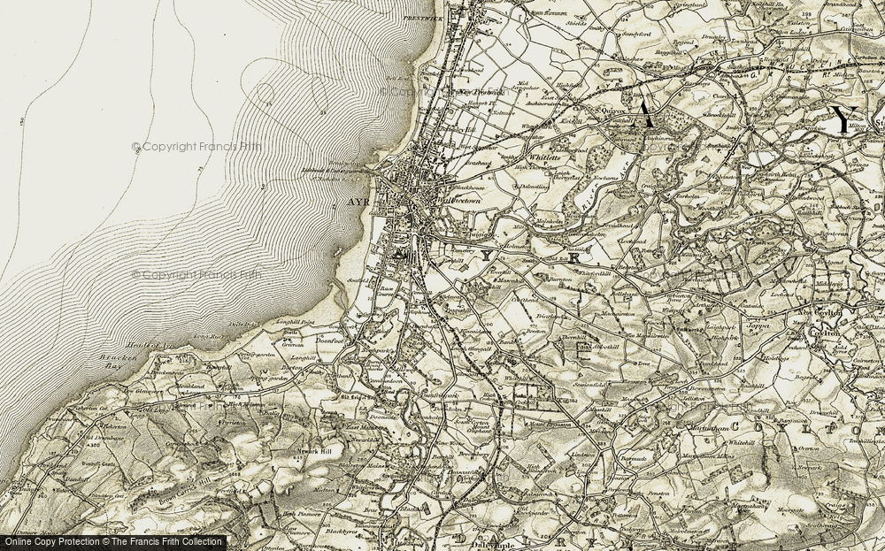
- Ayr, Strathclyde
- St Donat's, South Glamorgan
- Llanblethian, South Glamorgan
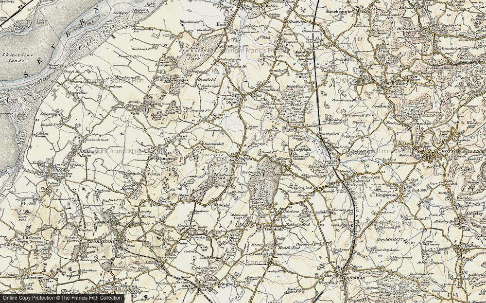
- Thornbury, Avon
- Llandough, South Glamorgan
- Fonmon, South Glamorgan
- St Nicholas, South Glamorgan
- Jarrow, Tyne and Wear
- Penmark, South Glamorgan
- Font-y-gary, South Glamorgan
- Maybole, Strathclyde
- Yate, Avon
- Oxford, Oxfordshire
- Torquay, Devon
- Newquay, Cornwall
- Salisbury, Wiltshire
- Bournemouth, Dorset
- St Ives, Cornwall
- Falmouth, Cornwall
- Guildford, Surrey
- Bath, Avon
- Looe, Cornwall
- Reigate, Surrey
- Minehead, Somerset
- Bude, Cornwall
Photos
5,054 photos found. Showing results 1,201 to 1,220.
Maps
2,499 maps found.
Books
1 books found. Showing results 1,441 to 1.
Memories
1,580 memories found. Showing results 601 to 610.
Pre War Teignmouth
Wandering through the old photos prompted a memory of the opening of the Boating Pond. What year was that? With others from the Barbara Spencer Edwards dance school, wearing white pleated skirts navy blue waistcoats and hats, ...Read more
A memory of Teignmouth by
South Woodford And Historic Buildings
SOUTH WOODFORD LONDON E18 Does anyone have a photo of the old school outfitters on George Lane South Woodford? Think I got school uniform for Nightingale High School there around 1969. I think the ...Read more
A memory of South Woodford by
First Camp With Scouts
As an innocent 11year old in August 1957, I had my first experience of camping in a field in Stanton Fitzwarren. I belonged to a Scout troop from Woolwich in South East London. Most of us came from a poor area of ...Read more
A memory of Stanton Fitzwarren by
V2 Rocket Attack St Bartholomews Road.
My father Leonard Duffield was brought up in the family home at 52 St Bartholomews Road. His father and uncle owned and ran a wholesale and retail bakery business H & GS Duffield which had a shop in High ...Read more
A memory of East Ham by
Treco Bay
We stayed in a small caravan the first holiday we had in Porthcawl during the miners fortnight holiday in June many years ago. Other wise it would be day or afternoon trips to Porthcawl and other seaside resorts along the South Wales coast ...Read more
A memory of Porthcawl by
Old Fire Station St Andrews Road North
When I was a child in the 1960's, my granddad would take my brother and myself to the old Fire Station. He had just retired after 30 years in the Fire Service. His name was Albert Newns. He had been Station ...Read more
A memory of St Annes by
My First 22 Years
I was born at 48 Durban Road pathway in Jan 1944. Went to school at pathway Junior school and then to Patchway Secondry Modern School as it was called then. I had so many friends whilst growing up and played in the fields and at ...Read more
A memory of Patchway by
1957 Upwards Susan June Keeler
I was a little girl who was adopted to Cecil John Keeler and my first visit to Petham was as a 5yr old. My Granny Fanny keeler and had 5 sons. Dick.Ray.Ted.Cecil and Reg.Granny Keeler also had 3 daughters Daisy.Girlie and ...Read more
A memory of Petham by
The Pits And The Heath
Alan Benfell, born 43. Moulton Avenue near Wellington School/Sutton Lane. Went to Wellington until about 52 then moved to Marshall Close off Wellington Road South. Went to Grove road for a couple of years then on to SGGS (Black ...Read more
A memory of Hounslow by
The Temporary Chapel, Bede College Durham
This photograph of 1929 is of special interest to me because of the long, white building in the top left-hand corner of the image. This was the temporary chapel at the College and served in that capacity from ...Read more
A memory of Durham by
Captions
2,444 captions found. Showing results 1,441 to 1,464.
Here in the far north of the county, 2 miles south of Great Ayton, stands this 'Gentleman's Residence', built in Georgian times for the Emerson family.
Looking south-eastwards from Abbotsbury Hill to Abbotsbury Gardens in Stavordale Wood (right) and Cleverlawns (centre).
This 14th-century church contains one of the oldest and finest brasses in England, that of Sir Robert de Bures (d1302).The 18th- century south chapel is 20 feet longer than the chancel, and
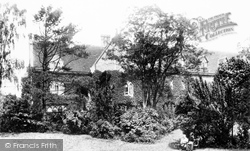
This is the south side of the house, which is now the Sudbury Learning Centre.
Fortunately, south of Thames Street you can escape the modern traffic. This view looks east down Pearson Street, with the High Street off to the left just past the cart..
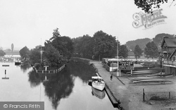
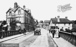
East from the south end of Reading Bridge John Tims Boatyard building, with its punts and boats for hire, has now all gone, replaced by the less than wonderful eleven-storey Reading Bridge House.
Inside, the south arcade of the nave dates from about 1200, but the rest is from Edward VI's reign. Until its restoration in the 1860s there were dormer windows in the aisle roof.
Only the medieval west tower and the Victorian south porch survived. The church was rebuilt by Bernard Miller, who made no attempt to recreate the style of the original.
Two miles south of Maidstone, this little secretive village perched on a hillside once had thirteen watermills within its boundaries, powered by the two main streams flowing into the River Medway.
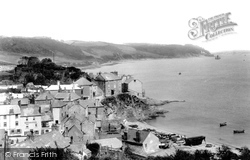
We are on the south-east coast at Cawsand Bay; the twin villages perched above the beach, where fishing boats are drawn up. The fields and woods of the Mount Edgcumbe estate reach down to the water.
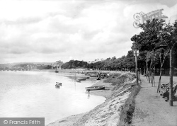
This area was once known as South Walk. It was bought in 1879 by William Rock, a son of the town who had made his fortune in London before returning home.
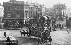
This crowded region south of the river was once the heart of London cockney life.
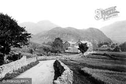
The traffic-free minor road meanders between drystone walls through the dale south towards Grange and Rosthwaite.
Milton Malsor is a charming, typically English village to the south of Northampton and the M1. This picture shows the village post office, delightfully housed in a picturesque thatched cottage.
Much of south-west England was administered from here. It revived as a Saxon settlement, but it did not become prominent again until the emergence of the wool trade.
In the distance to the north, earlier housing estates, mostly Pre-War and 1950s, can be seen - the Development Corporation plans mainly expanded the town to the south and north-east.
Stanwick is a village two miles south-west of Raunds. In 1960 Phipps was taken over by the giant Watney-Mann brewery, which retained the Phipps name but introduced the lettering shown here.
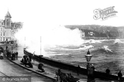
The Irish Sea can be as flat as a mill pond, but when an easterly, south-easterly or north-easterly gale blows up, this is what happens at Douglas.
South-east of Abingdon, on the A415 and a mile west of the Culham Science Centre, the former Culham College is a large and austere Victorian Gothic building based on an Oxford collegiate layout with a
Half-timbered weavers' houses, with broad first-floor work-room windows, can be found on the south side.
The 1869 bridge seen here replaced an odd 18th-century one: it was made of timber on the Berkshire south side and stone on the Oxfordshire or Caversham side, owing to a cross border disagreement.
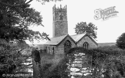
The south aisle has been added, built with granite blocks, as seen at Boscastle's St Juliot church.
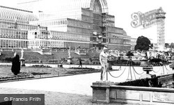
After the Exhibition, it was moved to wooded parkland at Sydenham in south-east London.
The Southport & Lytham Tramroad Co came up with a proposal to construct a transporter bridge due south of Hesketh Bank at a cost of £183,500.
Places (15471)
Photos (5054)
Memories (1580)
Books (1)
Maps (2499)


