Places
36 places found.
Those places high-lighted have photos. All locations may have maps, books and memories.
- Poplar, Middlesex
- Bow, Middlesex
- Bethnal Green, Middlesex
- Stepney, Middlesex
- Alton Towers, Staffordshire
- Isle of Dogs, Middlesex
- Limehouse, Middlesex
- Spitalfields, Middlesex
- Barjarg Tower, Dumfries and Galloway
- Bromley, Middlesex
- Stratford Marsh, Middlesex
- Tower Hill, Merseyside
- Tower Hill, Essex
- St George in the East, Middlesex
- Wapping, Middlesex
- Globe Town, Middlesex
- Old Ford, Middlesex
- Cubitt Town, Middlesex
- Tower Hill, Cheshire
- Tower Hill, Surrey
- Bow Common, Middlesex
- Mile End, Middlesex
- Millwall, Middlesex
- Ratcliff, Middlesex
- Warmley Tower, Avon
- Tower Hill, Hertfordshire
- Tower End, Norfolk
- Tower Hamlets, Kent
- Tower Hill, Devon
- Tower Hill, West Midlands
- Blackwall, Middlesex
- North Woolwich, Middlesex
- Hackney Wick, Middlesex
- Shadwell, Middlesex
- South Bromley, Middlesex
- Tower Hill, Sussex (near Horsham)
Photos
1,787 photos found. Showing results 1,421 to 1,440.
Maps
223 maps found.
Books
1 books found. Showing results 1,705 to 1.
Memories
637 memories found. Showing results 637 to 637.
Captions
3,007 captions found. Showing results 1,705 to 1,728.
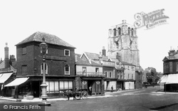
Beccles Tower, adjacent to the church, was bought by the town in 1972 for one Beccles penny, but over £68,000 was needed to restore it!
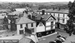
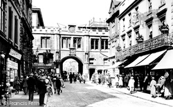
This view shows the ornate cast-iron balcony of the Saracen's Head Hotel, now shops, and the tower of St Peter at Arches beyond Stone Bow, built in 1720, demolished in 1933 and largely rebuilt in Lamb
Stafford has two interesting churches.The Church of St Mary has an unusual octagonal tower: it was here that Isaac Walton was baptized in 1593.The other church, St Chad's, was said to be almost derelict
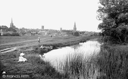
water meadows is a very well known one, and relatively little changed today, although it would look very different to a late medieval traveller – he or she would be able to see fourteen parish church towers
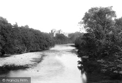
The four-storey keep-gatehouse is 95 feet high, and is flanked by a five-storey round tower. The castle stands on the bank of the River Teith at its junction with the Ardoch.
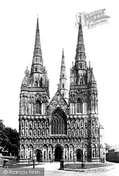
The west front of Lichfield Cathedral dates from the Decorated period, but most of this amazing display of sculpture is Victorian – only five statues high up on the north-west tower are original.
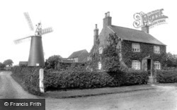
This is a typical Nottinghamshire brick tower mill, tall and black-tarred. The photograph shows the mill in full working order.
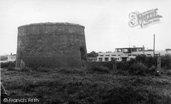
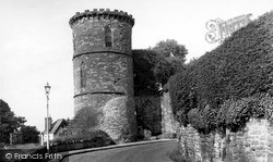
The great, grey battlemented tower stands eighty-two feet high and was used as a signalling station, continuously manned by four men, during the Napoleonic war.
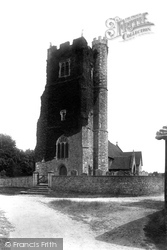
The 15th-century Perpendicular west tower of the Church of the Holy Cross is remarkable for the three sculptures of heraldic lions, which crouch at the corners of the battlements.
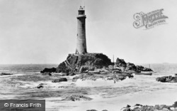
A little over a mile from shore, this imposing granite tower, 62 feet in height, rises out of a cauldron of furious waves. It was originally built in 1795. The one seen here was built in 1873.
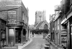
The tower of Holy Trinity Church to the right was poorly designed and constructed, and was eventually demolished in 1924.
Described in 1549 as 'the round castle of Buitte callit Rosay of the auld', the first stone castle was a circular shell keep 142 ft in diameter with walls 30 ft high and 9 ft thick; four projecting drum towers
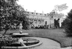
In 1900 the Singer family fitted out the Redcliffe Tower as a convalescent home with twenty or more beds for the wounded of the Boer War.
The added tower enhances the overall composition, but should the church be locked, an extended search for the key is not justified.
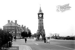
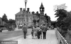
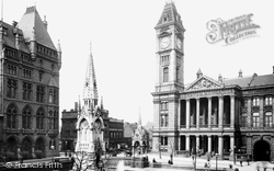
Much of the money for the gallery came from wealthy glass manufacturer Thomas Osler, whose firm made the famous glass fountain centrepiece for the Great Exhibition at the Crystal Palace.The clock tower is
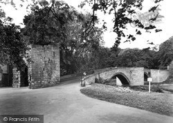
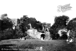
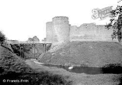
Probably he was responsible for this twin- towered gatehouse, which in the 1260s became the new entrance to the castle via a drawbridge over the deep moat.
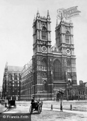
The abbey was embellished by its lofty twin towers in the early 1700s.
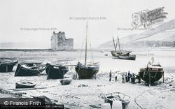
A ruined 14th-century double-towered castle stands guard over Loch Ranza. It was here that Robert the Bruce is said to have landed on his return from Ireland in 1306.
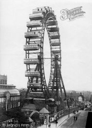
Built next to the Winter Gardens in 1896 in an attempt to compete with the Tower, the 220ft Gigantic Wheel was a financial disaster.
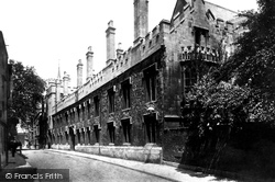
Financial difficulties prevented the college from being completed: at the time of the Bishop's death in 1431, only the gate tower and staircase had been finished. The college's future looked bleak.
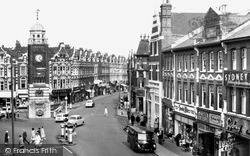
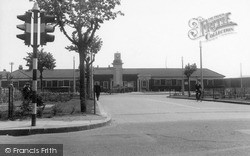
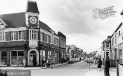
This view of Station Road looks south-west past the junction to Havelock Street, with the imposing clock tower of the 1903 Co-op store.
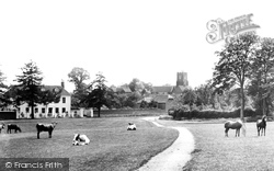
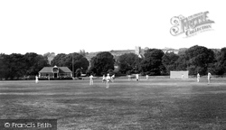
Surrounded by these majestic trees, and with the west tower of St Leonard's Church, one of the largest and finest in Kent, rising behind them, a summer game of cricket takes place on this spacious ground
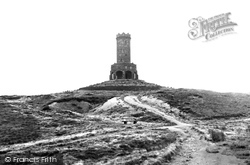
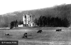
This five-storey L-plan tower house was built by the Earl of Mar in 1628. It was here in 1714 that a so-called hunt was assembled by John Erskine, 6th Earl of Mar.
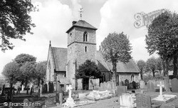
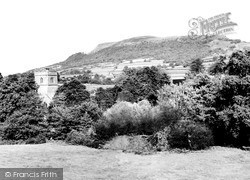
The early 14th-century tower of St Teilo's, Llantilio Pertholey stands squarely among the surrounding trees.
Places (38)
Photos (1787)
Memories (637)
Books (1)
Maps (223)


