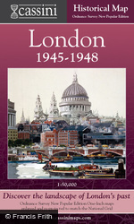
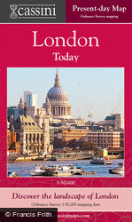
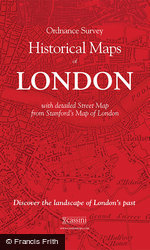
London Sheet Maps

Christmas Delivery
The last order date for folded maps is 12th December. Order soon before it's too late!
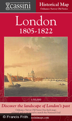
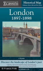
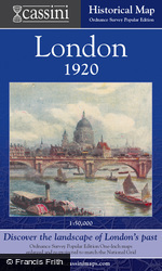
Maps spanning 150 years of rich history from 1805 to 1946, each exploring a crucial period in London’s recent history.
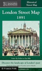
They reveal how the capital engulfed surrounding villages to become, for much of this period, the largest city in the world. Each 1:50,000 map explores a crucial period in London’s recent history: the late Georgian (1805-22), the late Victorian railway era (1897-8), the dawn of the motoring age (1919-20) and the period of reconstruction following the Second World War (1945-6). A more in-depth view of late-Victorian central London is provided by the Street Map.
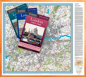
The 12 Maps In This Series
Also available is a 5-Map Boxed Set of London Maps
This Boxed Set features:
Five large-format maps revealing London's development between 1805 and 1948.High-quality reproductions of Ordnance Survey's One-Inch Maps enlarged to 1:50,000.
Details street map from Standford's Map of London and its Suburbs at 1:10,560.
Historical notes by Alex Werner and Dr Cathy Ross of the Museum of London.


