

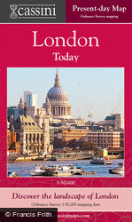
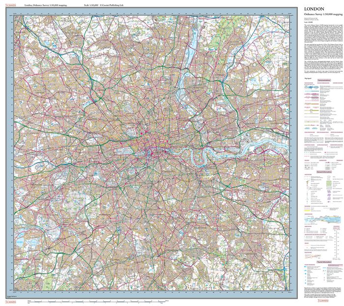
London, Present Day London Sheet Map

They reveal how the capital engulfed surrounding villages to become, for much of this period, the largest city in the world. Each 1:50,000 map explores a crucial period in London’s recent history: the late Georgian (1805-22), the late Victorian railway era (1897-8), the dawn of the motoring age (1919-20) and the period of reconstruction following the Second World War (1945-6). A more in-depth view of late-Victorian central London is provided by the Street Map.
About This Map
- Format:
- Folded Sheet Map
- Map title:
- London, Present Day
- Size:
-
Folded: 13.5cm x 22.5cm (approx. 5" x 9")
Opened: 100 cm x 89 cm (approx. 39" x 35") - Series:
- London Sheet Maps
- Coverage:
- 38 x 25 miles (Approximate)
- Places:
- See covered places
- Map ISBN:
- 978-1-84736-819-5
- Delivery:
-
Printed to order: up to 7-10 working days
Express delivery is unavailable.
Price
£19.99
Buy flat/framed
This map is also available as a flat sheet with an optional choice of frame too!
Buy Flat, Framed or on Canvas >>


