Places
Sorry, no places were found that related to your search.
Photos
Sorry, no photos were found that related to your search.
Maps
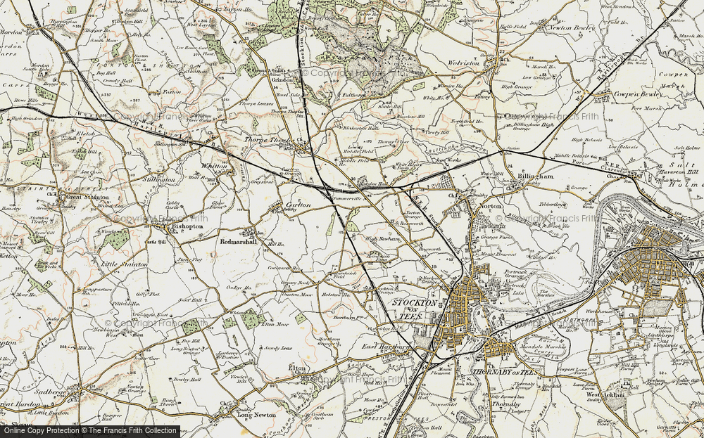
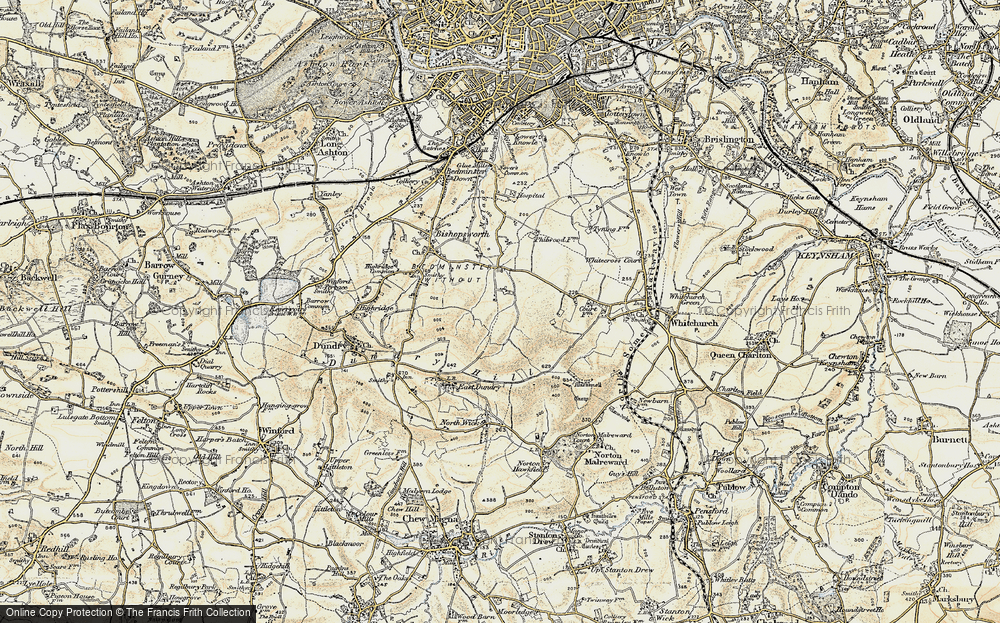
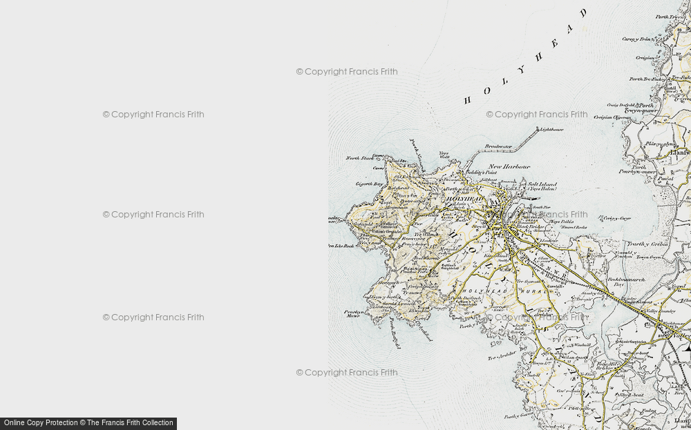
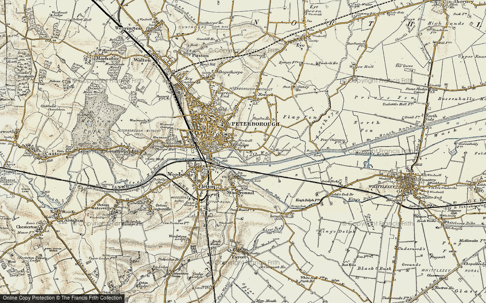
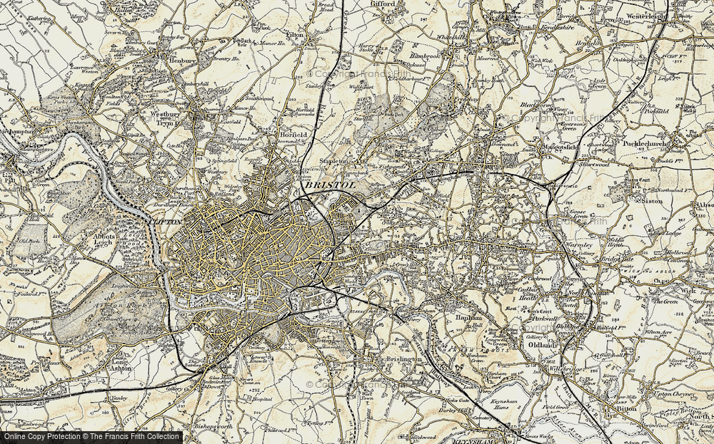
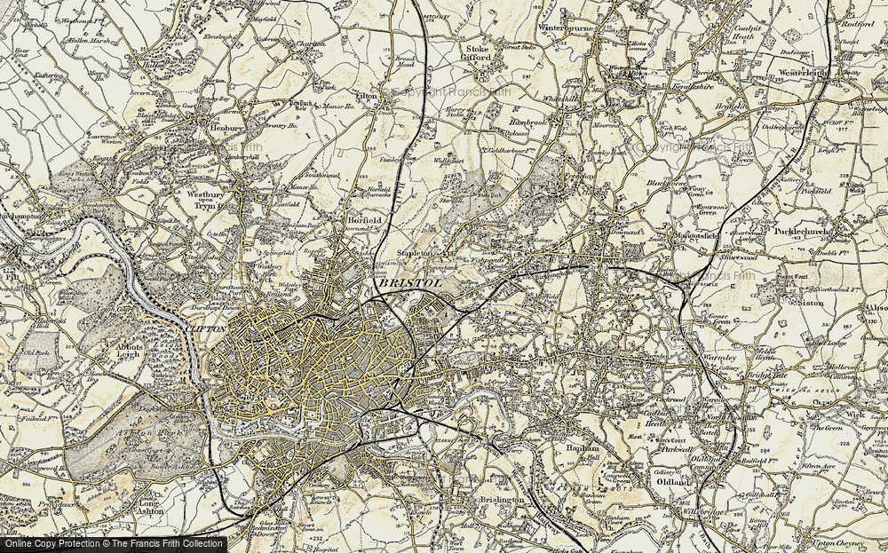
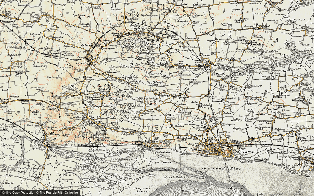
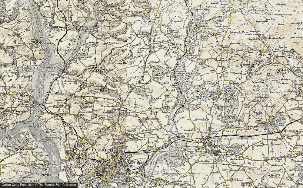
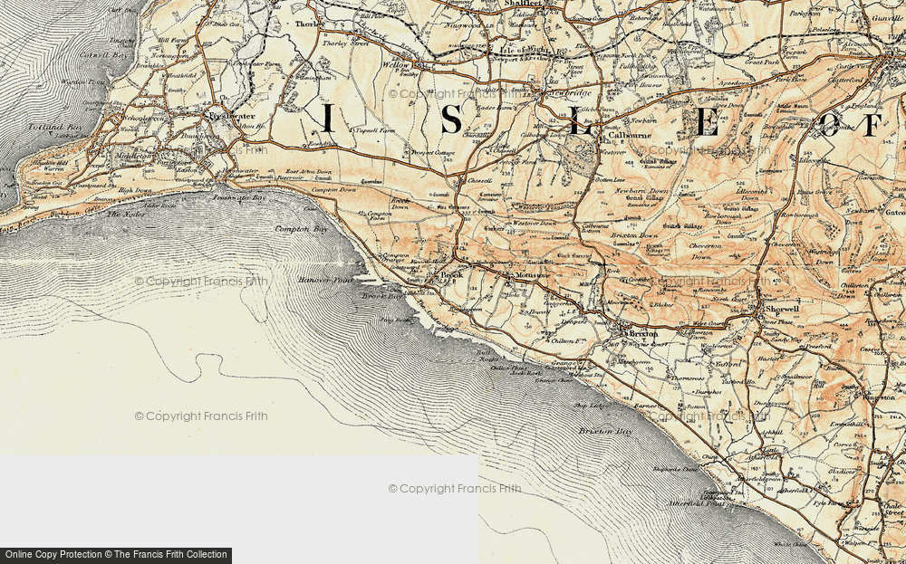
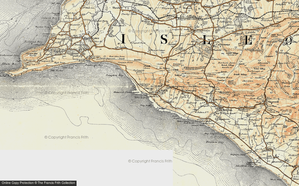
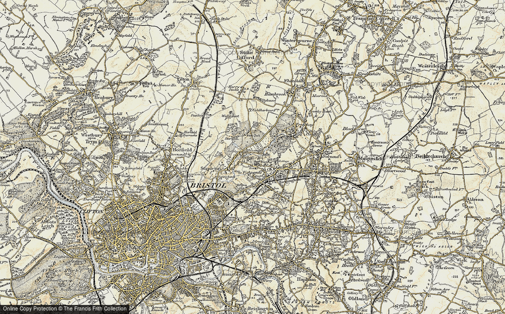
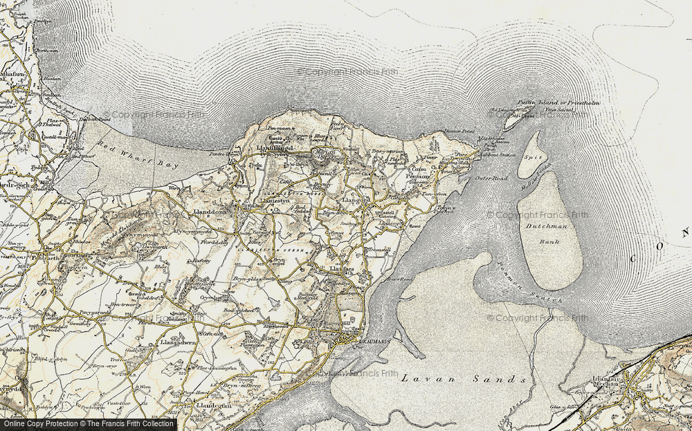
7,034 maps found.
Books
163 books found. Showing results 2,569 to 2,592.
Memories
22,912 memories found. Showing results 1,071 to 1,080.
Bus Station
I remember the bus station opening as my uncle, Councilor Tom Talbot was Mayor of Crewe at the time and he laid the comerative stone in the then Royal Arcade. The comerative plaque was covered over in about 2011 but I intervened and had it ...Read more
A memory of Crewe in 1955 by
Momories Of Stalmi E
Playing at Breakels, having ice cream, also walking up to the top shop.
A memory of Stalmine in 1966 by
Traffic Lights
If my memory serves me correctly, this junction had the only set of traffic lights in Redditch at one time.
A memory of Redditch in 1968 by
Robinsons Chemist
My dad owned Robinsons Chemist and I lived over it from 1963 till I married in 68. We lived on Anglemead Crescent prior to moving back over the shop! I remember John Moore at Pinner Park/ Headstone and Moira Francis was my ...Read more
A memory of North Harrow in 1860 by
Edward Mathews
My dad worked at Mathews the iron founders, little Ernie Worsey. He was a shift worker, always dirty covered in black sand from head to foot. My dad used to cobble his own boots, and big boots they were. It was ...Read more
A memory of Bradley
The Rectory
My father worked on the air base in Upper Heyford and my mother, brother and me were evacuated to Upper Heyford. We lived in the Old Rectory with the then Rector who was very kind to us. The Rectory was haunted, one room ...Read more
A memory of Upper Heyford in 1944 by
My Father Bob Barnard Lived In Overton As A Boy. His Words Are Below:
I was born on 29th November 1928, and lived in Southsea in 1939, and during August my parents, little sister, and I went for a short holiday by coach to stay with an Aunt and Uncle ...Read more
A memory of Overton in 1940
Lovely Little Dartmouth, A Time Capsule
My uncle, Reginald, always called Dartmouth, "The Town That Time Forgot". And he meant that in a good way because Dartmouth was largely unchanged over the years and of course, as a result, is now quite the ...Read more
A memory of Dartmouth by
Memories Of Good And Bad Days In Tottenham
My Name is Alan Pearce. I was born in October 1939 at 75 Park View Road and I have many memories of going to the bottom of the road and walking under the very low tunnel which carried the railway line. ...Read more
A memory of Tottenham in 1930 by
We As A Family Arrived In Rickling In 1943 To Avoid The Bombs.
I was brought up on Rickling Green in 1943 from the age of eight and we stayed for 10 years. I went to school there and the teachers were Miss Chapman, Miss Newton and Miss Grey. I left ...Read more
A memory of Rickling in 1943 by
Your search returned a large number of results. Please try to refine your search further.
Captions
9,654 captions found. Showing results 2,569 to 2,592.
Here we see a busy scene, with many hire boats waiting to be refuelled at the pump and taken out into the river.
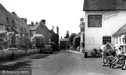
This photograph, taken 15 years after B258003 (p20-21), shows the new shop masthead on Boots. The range to the right of the Post Office has been rebuilt as Lipton House.
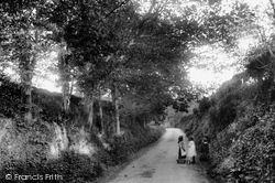
Three children, who have possibly been out gathering some of the autumnal hedgerow harvest in this bountiful part of the country, stand at one side of the sunken lane.
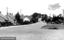
The bungalows along Church Road are fairly representative of the kind of housing to be seen in Laindon before the New Town came. Several of them are still there.
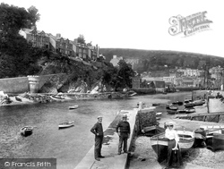
The fishermen are standing on 'Little Pier'. We are looking upstream at half tide towards West Looe on the far side of the harbour.
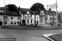
Forty years ago it was possible to relax over a pint at the Robin Hood and the New Inn (centre and right). Since this picture, both the war memorial and the New Inn have gone.
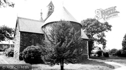
This Anglican church was built at a cost of £3,000 in the early 1860s. Sir George Elliott, who funded most of the cost, held a sumptuous banquet to mark its opening.
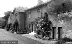
Lying at the foot of wooded limestone slopes to the east of Cringlebarrow, these rendered stone cottages, with pronounced dripstones protecting their windows and doorways from the rain, are typical of
The harbour was at that time still the preserve of local fishermen, but today the area is monopolised by pleasure craft and luxury yachts.
Clydach is a small village on the road from Brecon to Swansea. The area has been mined for coal for at least 300 years.
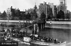
The steamer 'Daisy' calls at Lambeth Pier, which is built on to the new riverside Lambeth Palace Road. Behind is Lambeth Palace, with St Mary's Church to the right.
He wrote of 'my landlady here at Selborne, who, while I am writing my notes, is getting me a rasher of bacon, and has already covered the table with a nice clean cloth.'
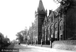
This was part of the Victoria University, which was constituted in 1880, the other colleges being at Manchester and Liverpool.The colleges went their separate ways in 1904, each becoming an independent
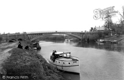
This bridge, like the one at Bewdley, was designed by Thomas Telford; it replaced an old ferry and ford. It is a single-span iron bridge.
At this time Sheringham was developing into a popular seaside resort which would rival Cromer, though the inclination of the townsfolk was to ensure that it retained its charm.
Fortunately, there is no traffic as the farmer herds his small herd of cows in the middle of the road at the bottom of Town Hill beside the Peterville Inn.
Cockermouth is situated where the River Cocker joins the River Derwent on its way to the Irish Sea at Workington.
Greasbrough was once described as a pleasant village 'situated on a delightful eminence'; by the early 19th century it was a farming and mining community of over 1000.
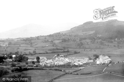
Here we see the south Lakeland village from the hill of Charity High, just outside the village.
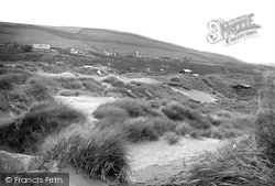
This area of the North Devon coast has acres of sandhills. These, at Saunton, were riddled with tiny beach chalets. Many survived until relatively recent times.
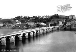
The 15th-century bridge had not been widened when this view was taken. The building at the far end - The Royal Hotel - is still in business, although the extensive quays to the left are now derelict.
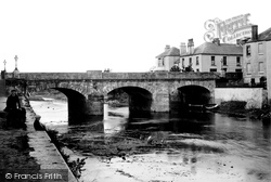
The wall on the left, on which the child is sitting, is known as New Quay, and the flight of steps leads to Victoria Place, built at the same time as the bridge in 1837.
It was built after the Normans demolished an original Saxon church in 1095.
The cabin at the top of Clare House pier still occupies its site; however, it was demolished when the promenade was constructed.
Places (0)
Photos (0)
Memories (22912)
Books (163)
Maps (7034)


