Places
36 places found.
Those places high-lighted have photos. All locations may have maps, books and memories.
- Pentre-cwrt, Dyfed
- Pentre Halkyn, Clwyd
- Pentre, Mid Glamorgan
- Ton Pentre, Mid Glamorgan
- Pentre, Powys (near Llangynog)
- Pentre, Powys (near Guilsfield)
- Pentre, Powys (near Bishop's Castle)
- Pentre, Dyfed (near Pontyates)
- Pentre, Powys (near Newtown)
- Pentre, Clwyd (near Mold)
- Pentre, Clwyd (near Ruabon)
- Pentre, Shropshire (near Chirk)
- Pentre, Clwyd (near Hawarden)
- Pentre, Clwyd (near Chirk)
- Pentre, Clwyd (near Ruthin)
- Pentre, Clwyd (near Mold)
- Pentre, Shropshire (near Oswestry)
- Pentre, Powys (near Welshpool)
- Pentre, Clwyd (near Mold)
- Pentre, Shropshire (near Forton)
- Pentre Broughton, Clwyd
- Pentre Gwynfryn, Gwynedd
- Pentre Maelor, Clwyd
- Pentre-clawdd, Shropshire
- Pentre Galar, Dyfed
- Pentre Llifior, Powys
- Pentre-cefn, Shropshire
- Pentre-Gwenlais, Dyfed
- Pentre-Poeth, Dyfed
- Burntwood Pentre, Clwyd
- Pentre Berw, Gwynedd
- Pentre Hodre, Shropshire
- Pentre Llanrhaeadr, Clwyd
- Pentre-celyn, Clwyd
- Pentre Cilgwyn, Clwyd
- Pentre Morgan, Dyfed
Photos
98 photos found. Showing results 2,841 to 98.
Maps
316 maps found.
Books
2 books found. Showing results 3,409 to 2.
Memories
1,253 memories found. Showing results 1,253 to 1,253.
Captions
3,593 captions found. Showing results 3,409 to 3,432.
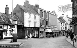
The Whyte Swanne of 1612 is still there, and Peacocks have replaced the long-time Louth outfitters of Lawson & Stockdale at No 47(centre). Peacocks also expanded into the Prudential next door.
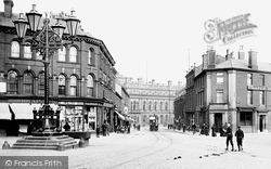
The shops behind the big lamp in the centre of the road are interesting.
The shot is north-eastwards, along Bridge Street (centre) to the roofs of Coombe Street. Hubert Charles Parham was the draper at No 64 Broad Street (bottom left).
At centre-right is Morse's department store, 10/12 Regent Street. This was the second of Swindon's major stores for many years (with McIlroy's) and was owned by the Morse family of Old Town.
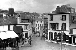
The Dog and Partridge (centre left) looks much as it does today.
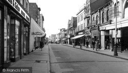
Boots were to move three times, epitomising the changing importance of different parts of the town centre.
The Cross, the junction of the High Street, Cambridge Street, Huntingdon Street and Church Street, marks the original site of the centre of town, and was a planned medieval market place.
Colmer's Hill is the distinctive distant hilltop (centre).
It was built for the tramway which connected the Lancaster Canal with Walton and is now in daily use as an entrance to the Fishergate Centre car park.
It shows Westgate, the main thoroughfare of the town centre, and leading off to the left is Westgate Road, opened up in 1876 on the site of the former driveway to Sunnyfield House, a prominent private
Askrigg's Elizabethan Old Hall, centre, burnt down in 1935. The TV series All Creatures Great and Small was filmed here, which put the village back on the tourist trail in the 1970s.
The original water supply to the village came from Diana's well, and the large stone (dated 1859) at the end of the green (centre left) still retains a tap.
In the foreground are Spring House (1871, left) and the Prison House (1868, right).The forge is to the far right, and the single-storey house, centre, dates from 1662.
The Market Place, shown here, has fine 17th- and 18th-century buildings; the 3-storey ashlar-faced house right of centre is a fine example, with its rusticated ground floor stonework, fine pediment
The site was re-developed, and the Orchards shopping centre was opened there in 1982.
This junction was the tram centre, with branches leading off to Old Town, left to Gorse Hill and right to Rodbourne.
Evan's Cliff is to the east (centre), followed by the higher cliffs of Cain's Folly and Golden Cap (top right).
The Windmill pub stands out as the white building in the centre left of the view.
Burwash was a centre for Sussex iron making. After the iron industry ceased production, the locality was less prosperous; the common became notorious for 18th-century lawlessness.
home ground is in nearby Cuckfield, which is also used by athletes from the Haywards Heath Harriers during the summer months - during the winter they use the facilities at Oathall Community Centre
At the centre is Christ Church, dating from 1693, and rebuilt in 1803 to incorporate the Library and Institute. The Tudor-style building on the left has had many uses, and is now an estate agent.
Bawtry Hall, now a religious centre, was the wartime HQ of No 1 Bomber Command.
Beyond are an obscured Bridge Cottage, By the Stream , and Apple Tree Thatch (centre).
The village was also the centre of much royal intrigue. A castle was built here by the Norman conquerors, and it later became a court of King Edward I and Queen Marguerite.
Places (57)
Photos (98)
Memories (1253)
Books (2)
Maps (316)


