Places
3 places found.
Those places high-lighted have photos. All locations may have maps, books and memories.
Photos
68 photos found. Showing results 501 to 68.
Maps
12 maps found.
Books
15 books found. Showing results 601 to 15.
Memories
7,562 memories found. Showing results 251 to 260.
Fish And Chips At Hest Bank
when i was young i would go for fish and chips they were great and there was always something to do some where to ride on our bikes at hest bank. I now live in australia and in 2006 took my three girls to england for a ...Read more
A memory of Hest Bank in 1965 by
Steamin At The Square
thot id better leave a memory ciz nae other has left ane 4 newmill,poor show.1999 was the 1st time i got steamin,i remember it well,drinkin at newmill square wee the old boys.i drank about a quarter bottle o mince ...Read more
A memory of Newmill in 1999 by
Evacuee During World War 2
I was privately evacuated to Croxton Kerrial with my sister in 1940, we were billeted in a cottage named Woodbine Cottage, this was next to the Bakery. We attended the village school, I still remember some of the ...Read more
A memory of Croxton Kerrial in 1940 by
Busk Crescent
Late in 1945 my parents moved to 25 Busk Crescent, in Cove. The house was on top of a hill and overlooked the Farnborough airfield. From the front bedroom you could see aircraft landing on the runway. The house was one of a string of ...Read more
A memory of Cove in 1945 by
Working Life
I like this photograph because it reminds me of when I used to travel in to Cardiff by train from Barry where I lived. I worked in the National Provincial Bank in St.Mary Street. I had some lovely friends and times
A memory of Cardiff in 1954 by
Buses In The Snow
I remember the green double decker buses revving up Crays Hill in the snow and jamming their tyres against the curb to try and get up. We lived in Elm Bank on the hill and sometimes witnessed the buses sliding side-ways back down ...Read more
A memory of Crays Hill in 1977 by
Delamere By Sid Grant
The Jewish Fresh Air Home and School was founded in 1921 by Miss Margaret Langdon, MBE, MA (1890-1980) and located at Blakemere Lane, Delamere near Norley, in the beautiful Cheshire countryside. My time spent there was from age ...Read more
A memory of Delamere in 1930 by
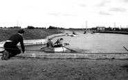
The Boating Pool
The boating pool at Shoebury Common was a must visit every weekend I was there. In later years they had canoes and we used to sit up on the top of the canoe at the back and not in the cockpit. Never fell in though. Would not ...Read more
A memory of Shoeburyness by
Pier Walk
When we were at Shoebury on holiday Mum and Dad always took me on the pier. We went out by train and usually walked back providing the weather was good. I can still remember the platforms either end and the green trains with the ...Read more
A memory of Southend-on-Sea by
Ice Cream Cart
Can anyone remember the horse-drawn ice-cream cart, the guy had as I remember a green cart, a white coat and a whistle. His ice-cream was really good proper stuff, then soft ice-cream came along and that was it, he must have just packed ...Read more
A memory of Crook by
Captions
2,501 captions found. Showing results 601 to 624.
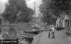
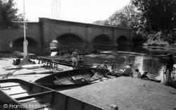
This view looks downstream to the Rush Cutters pub from the south bank. The boating business is still there; it is now called Hearts Cruises, and has a wider range of boats than in 1919.
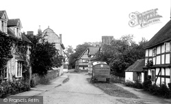
An evangelical mission wagon lies idle in the quiet village street. This large parish runs along the eastern bank of the Severn for several miles.
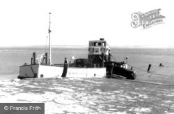
Prior to the building of the Severn Bridge, which now sweeps above the peninsula of Beachley Point, this little powered ferry carried small vehicles across the Severn to the outskirts of
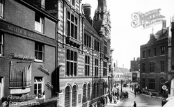
Looking down towards St Andrew's Street, with First Court, the oldest part of Christ's College, in the distance. The Capital and Counties bank (now Lloyd's) and Post Office are in the foreground.
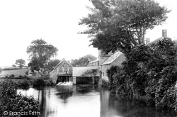
East Mill stood on the north side of East Road and was powered by the River Asker. This view, dating from 1904, looks eastwards from the north bank and duplicates picture 43865.
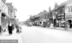
This is a useful spot in the street: the Post Office is on the left, the Trustee Savings Bank is adjacent to the bus, and the shiny new frontage of the Co-op is second on the right.
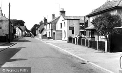
Back in the 1950s it would have been quite normal for a bank to have a branch in a small village. Rationalisation has seen a good many of them close down.
By 1086 the Soar Valley was well settled, and although the Domesday village of Barhou offers little to delight the visitor, the river has a watery magnetism which draws families from Leicester to its banks
The Buckland Drives, following the rim of the flatter land high up on the eastern bank of the Dart, were very popular during the 19th century.
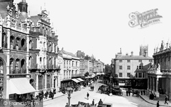
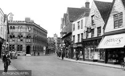
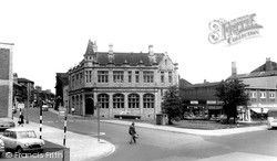
On the left is the red brick and stone Lloyds Bank building, with its fretted skyline, while to the right is the neo-classical Post Office, built in 1881.
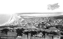
This is a spectacular view from the top of Portland, with the expanse of the Chesil Bank on the left, stretching 16 miles along the Dorset coast to Barton Cliff, and the broad expanse of Portland Harbour
The winding hole (where boats are turned) lies to the east of and adjacent to the Great Wharf. Odiham Common is on the northern bank.
The earliest recorded church on this site was the church of the Blessed Mary in 1140. Here stands the tomb of Robert Raikes. Also buried here is the eccentric banking millionaire Jemmy Wood.
The Shire Hall of 1837 is on the right. The County Assizes were once held here, but today part of the building contains the town's Tourist Information Centre.
In this picture, the impressive County Hotel and Barclays Bank (built originally as a wine and spirit warehouse) can be seen on the corner, with the clock tower and the old Infirmary beyond.
At 6.00pm on August Bank Holiday Monday 1908, Romilly Park Bowling Club's green opened for play.
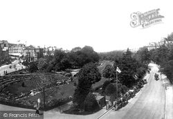
A great effort was made to tame the wild landscape across which Bournemouth grew up. The Bourne Stream was rapidly transformed into an attractive water feature forming the centre point of the town.
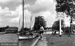
It is said that this point on the River Bure has seen various means of crossing from one bank to the other for the last thousand years.
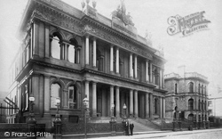
A fine view of one of Belfast's many imposing buildings, the Ulster Bank in Waring Street. It was built in 1860 and still stands today.
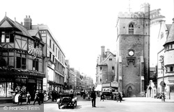
This photograph shows Cornmarket Street running down to Carfax, with the outline of Tom Tower dominating St Aldates on the far side.
Maisemore village stands on the west bank of the River Severn. It is prone to flooding - in 2000, the White Hart pub was completely surrounded with water.
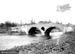
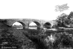
The Portland stone bridge, built in 1813, carries the main road from Poole to Wimborne on the far bank of the River Stour.
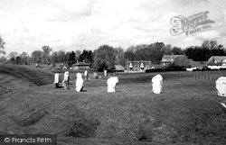
The entire complex comprises an outer circular bank with an inner ditch. Inside was a great stone circle enclosing two smaller circles.
Cleckheaton is another former textile town, five miles south of Bradford, which has had to find a new role during the late 20th century.
Places (3)
Photos (68)
Memories (7562)
Books (15)
Maps (12)


