Places
26 places found.
Those places high-lighted have photos. All locations may have maps, books and memories.
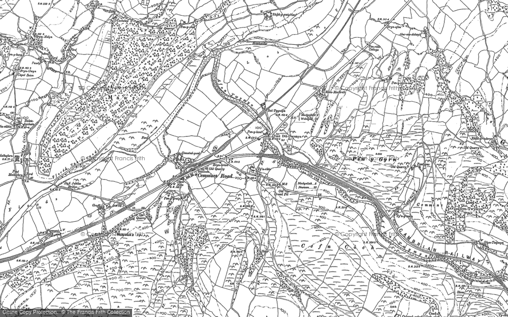
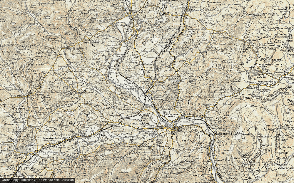
- Cemmaes Road, Powys
- Six Road Ends, County Down
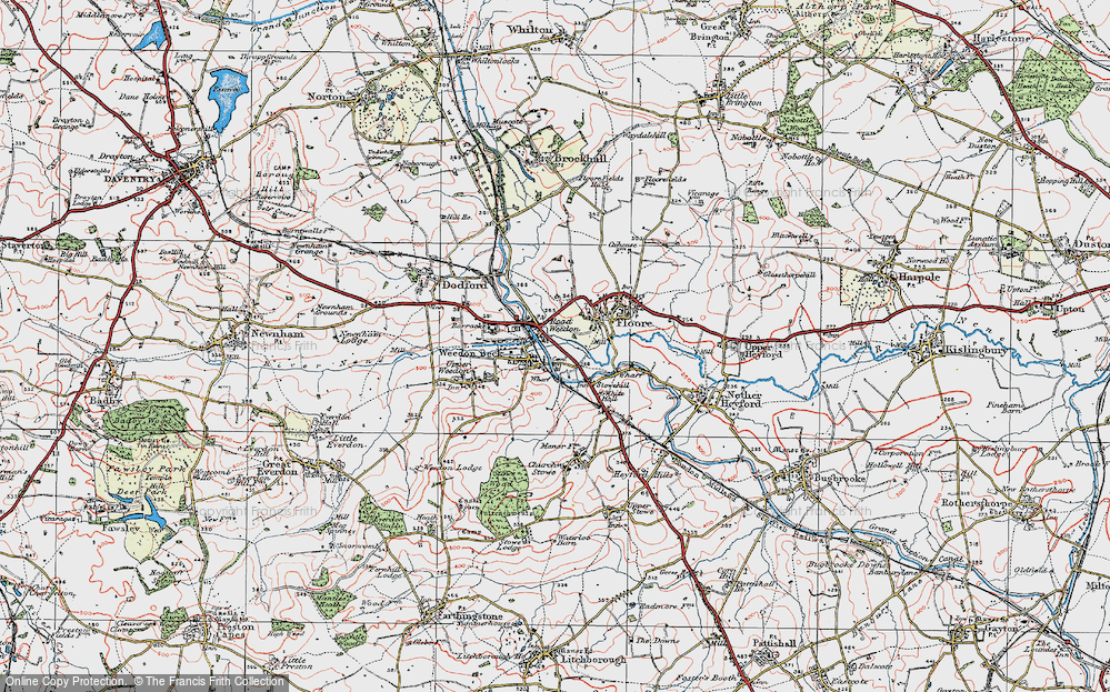
- Road Weedon, Northamptonshire
- Severn Road Bridge, Gloucestershire
- Roade, Northamptonshire
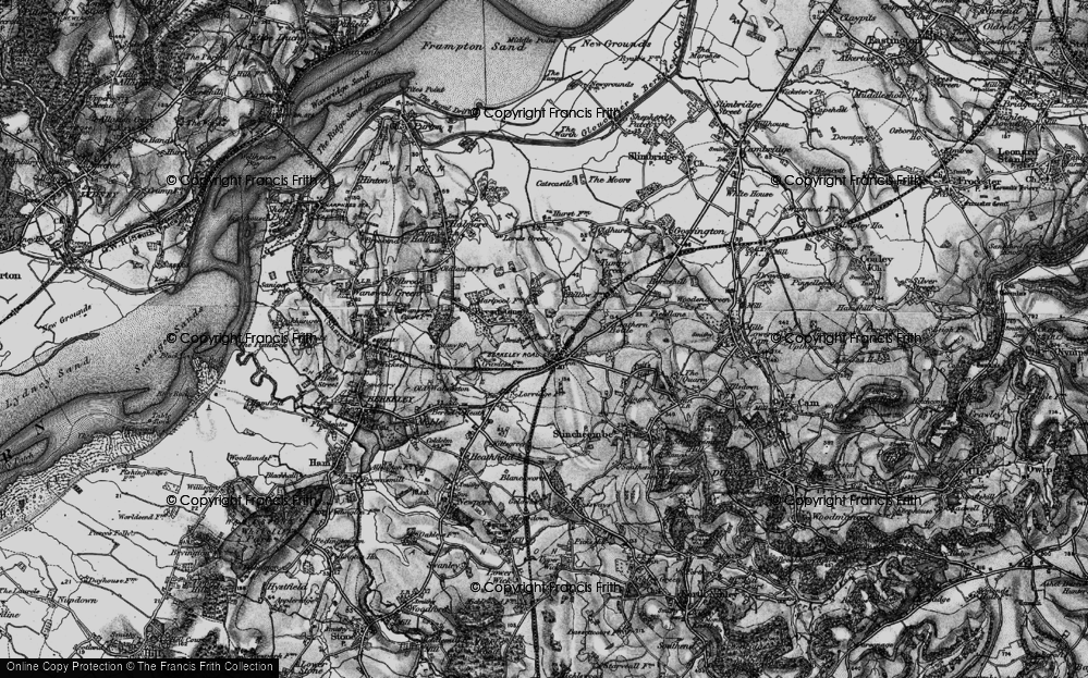
- Berkeley Road, Gloucestershire
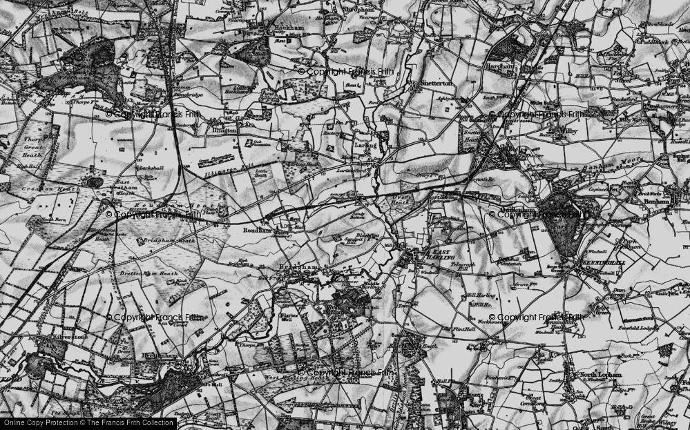
- Harling Road, Norfolk
- Road Green, Devon
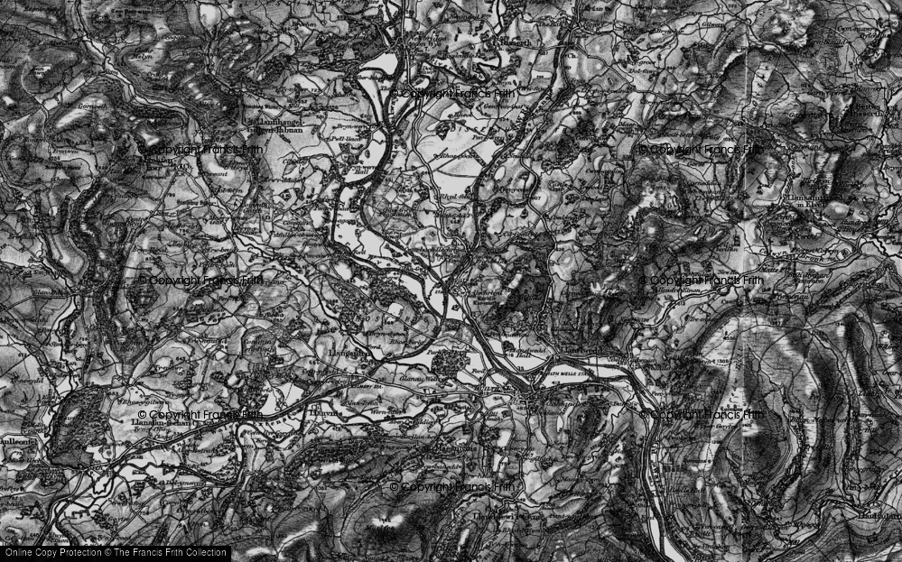
- Builth Road, Powys
- Cross Roads, Yorkshire
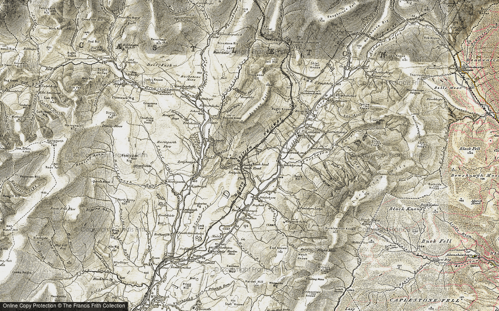
- Steele Road, Borders
- Cross Roads, Devon
- Four Roads, Dyfed
- Road Green, Norfolk
- Biggar Road, Strathclyde
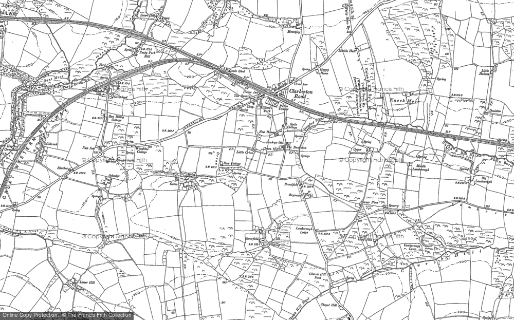
- Clarbeston Road, Dyfed
- Five Roads, Dyfed
- Eccles Road, Norfolk
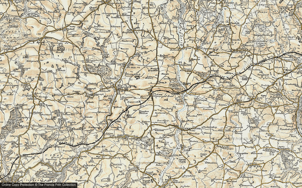
- Grampound Road, Cornwall
- Morchard Road, Devon
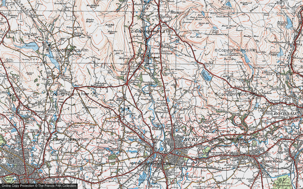
- Wood Road, Greater Manchester
- Four Roads, Isle of Man
- St Columb Road, Cornwall
- Clipiau, Gwynedd (near Cemmaes Road)
- New Road Side, Yorkshire (near Silsden)
- New Road Side, Yorkshire (near Cleckheaton)
Photos
14,329 photos found. Showing results 21 to 40.
Maps
476 maps found.
Books
5 books found. Showing results 25 to 5.
Memories
11,058 memories found. Showing results 11 to 20.
Corner Shop, Rookwood Avenue/Burlington Road
Does anyone remember the name of the little shop on the corner of Burlington Road and Rookwood Avenue. I lived in Beverley Road in the Fifties/Sixties and was often sent round for ice cream and sweets. I ...Read more
A memory of New Malden by
Good Times
I lived in Belsize Road, Swiss Cottage end for many years from the 50s through the 60s till i got married, I remember lots of things, the buses getting stuck in the road going up to Swiss Cottage in the snow and ice and having to be ...Read more
A memory of Swiss Cottage by
Post War Harlesden.
I was born in Tredegar, South Wales in April 1941. My mother had been evacuated to that small welsh town when she fell pregnant with me in 1940. We lived with her parents. My dad was away doing War things. We moved back to London ...Read more
A memory of Harlesden by
Family Connections.
The couple on the right pavement are my grandparents George Gray and his wife Elizabeth (nee Phippen) of Thornford. The photo would have been taken on a Thursday because after his retirement they always travelled to Sherborne on ...Read more
A memory of Sherborne by
Princes Road
I was born in 1953 at 71 Princes Road, in 1955 we moved to 10 Church Road where I lived until 1969 when I left home. I went to Princes Road Boys school where Mr Carr was the Head and some of the teachers were Miss Gardiner, Mrs ...Read more
A memory of Buckhurst Hill by
Names Of People And Buildings.
Here we are looking down West Street with the village school visible at the end. On the left is Tetts Farm with the milk churns, while next is Manor Farm, farmed by Reg Newick. The thatched building before the ...Read more
A memory of Hinton St George
Notes From The Frith Files.
This photograph shows residents waiting for the No.144 Midland Red bus from Malvern to Worcester outside the village shops. Far left is EW Bird's butchers, left is Cromptons newsagents, off picture further left is Procters ...Read more
A memory of Powick
Moving Of The War Memorial
Note in this photo that the war memorial has been moved back and the wall lowered. Flats have been built on the Banstead house site. You could always see the green houses over the high wall from the top of the 164a bus. ...Read more
A memory of Banstead in 1956 by
Childhood Memories
Knutsford holds a special place in my heart as I was born there in 1956 and spent nearly eight years of my childhood growing up in this then safe and close community. I have very strong memories of family, home, school and ...Read more
A memory of Knutsford in 1962 by
Family Day Out Clerkenwell To Caterham 1925
The above photo depicts Dorothy Connor (nee Step) aged 10, with her late Mother Elizabeth Step (aged 46) and her Sister, Florence Step (aged 21) having alighted from the 159a Bus which brought them from ...Read more
A memory of Caterham by
Your search returned a large number of results. Please try to refine your search further.
Captions
5,036 captions found. Showing results 25 to 48.
Gilfachreda is situated on the road between New Quay and the main coast road. The road may well have been built or widened to ease the transport of caravans to New Quay.
This scene is virtually unrecognisable to today, but it shows just how busy the four roads of Gloucester were in the 19th century. The delivery men in this picture are prominent.
This view looks east from Cornwall Road along Worcester Road towards the town centre. This was another desirable residential road, with prosperous Victorian villas at its eastern end.
Continuing along the road, we come to the turn-off which leads to the NRA on the left, now called Queens Road. The main road leads back to Bagshot.
The main road was diverted when Napier set out the grounds of Hoo Park.
The road curving up to the left of the castle is Roydon Road, known at this time as Zulu Road.
This picture was probably taken just down the road from Penventon Farm.
A few hundred yards along the present B1514 road past the turning to Pepys House, the road forks at the roundabout where the main road runs eastwards towards the A14 and the left road takes us
A view looking west down King's Road from near the station towards Shottermill. Note the traction engine and trailer on the left of the picture, up Longdene Road.
This view looks north along Church Road from near the Cheam Road junction, with the spire of St Nicholas parish church in the distance.
The bank was built in 1894 as the Wilts & Dorset Bank on the main road to Bournemouth at the Church Road cross- roads at the bottom of Castle Hill. Today it is Lloyds TSB.
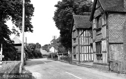
The 16th-century half-timbered Manor House in Vyne Road fronts directly onto the road, so that its striking architecture, including carved bargeboards on the gables, can be studied at close quarters.
The River Whitewater rises at Bidden off the Upton Grey road, and here flows north-eastwards through the former deer park. It follows the road to Lodge Farm.
From here we can visit Spa Road, Brunswick Road and Christchurch. The site of the spa, in Spa Road, was discovered in 1814, and pump rooms were built, but they have now gone.
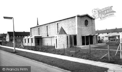
Standing at the junction of Gainsborough Road and Morland Road, the church opened in May 1962.
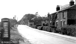
This is the A631, although it does not look like an A-class road. The telephone box has gone, and so have the telegraph poles and wires.
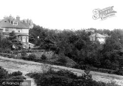
Alton Road is in the foreground. The house on the right is Kenwood, which has its entrance in Corfe View Road. Immediately behind is Eaton Hall in Highmoor Road.
The Manor House C1960 The 16th-century half-timbered Manor House in Vyne Road fronts directly onto the road, so that its striking architecture, including carved bargeboards on the gables, can
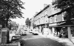
Northenden Road was one of Sale's main streets for shops, along with Chapel Road, School Road and Washway Road.
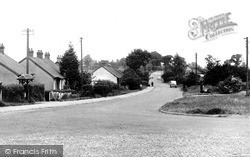
The bungalows along Church Road are fairly representative of the kind of housing to be seen in Laindon before the New Town came. Several of them are still there.
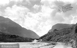
The trip along the four-mile minor road over the Gap is spectacular, with the road crossing and re-crossing the river at the bottom of the ravine.
The bungalows along Church Road are fairly representative of the kind of housing to be seen in Laindon before the New Town came. Several of them are still there.
A lady walks briskly across Station Way towards Cheam Court and the local branch of Teekoff, which had a sister establishment in the Cheam Road at Sutton.
Running at right angles to each other, Eastham Rake and Bridle Road link at the junction with Stanley Lane and the A41 - New Chester Road.
Places (26)
Photos (14329)
Memories (11058)
Books (5)
Maps (476)


