Places
Sorry, no places were found that related to your search.
Photos
2 photos found. Showing results 81 to 2.
Maps
Sorry, no maps were found that related to your search.
Books
Sorry, no books were found that related to your search.
Memories
94 memories found. Showing results 41 to 50.
Holidays On Newton Beach
My Grandmother owned 2 bungalows on Newton Beach, one being a converted bus which was called "The Chalet" and the other was named "Duneside". She lived there between the months of April and October, and I spent all ...Read more
A memory of Newton by
In Bonnie Scotland
In Bonnie Scotland The road back to Campsie Glen Is a forty-year long tunnel of mist! Dug deep into the cut bedrock of memory, And neatly knitted in the multi-storey labyrinth Of pouring passions, in pounding poems!! ...Read more
A memory of Campsie Glen in 1965 by
Jennie (Field)Smeath
I moved to Westward Ho! in 1952 with my parents and two sisters. My parents owned a guest house call Beacon Lights in Nelson Road, sadly it has now been demolished to make way for flats. I remember the floods at Lynmouth in ...Read more
A memory of Westward Ho! in 1952 by
Lancing In The Fifties And Sixties
My family moved to Lancing when I was six months old, living first in Orchard Avenue and then Tower Road, which had a bad reputation - totally undeserved! I liked the fact that there were always children to play with, ...Read more
A memory of Lancing by
Learning To Cycle.
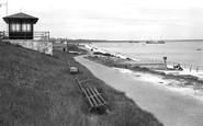
I learnt to cycle on this promenade in 1948 and then had many happy hours on my bike exploring Holy Island and the west side of Anglesey. The photo is prior to 1948 as the tall funnelled Trinity House Tender "Beacon" shown top ...Read more
A memory of Holyhead by
Lido
My mother was born in Margate and we spent our holidays there from early 1950s-1970s staying with grandparents. Does anyone remember the puppet theatre in The Lido? I remember my parents taking me there when we were on holiday. I think ...Read more
A memory of Cliftonville by
Life In Oxshott In 1940s And 50s Royal Kent School
I remember my first day at the Royal Kent School – 8th November 1948 – as recorded at entry no. 1450 in the school's original Admissions Register. It was a few weeks into the Autumn term, as in September ...Read more
A memory of Oxshott by
Living In Hayes In The 50s 60s
I lived in one of the council houses in Mounthurst Road from 1954 to 1970. I have a very good memory of growing up there. The prefabs in Mead Way, there must have been hundreds on both sides and we used to ...Read more
A memory of Hayes in 1964 by
Living In Ditchling
I wa Born at Greenhedges Westmeston in 1947, and spent all of my wonderfull childhood in Ditchling , I do however remember the dreadfull headmistress of the local St Margrets primary school with horror, she made both my and my elder ...Read more
A memory of Ditchling by
Lydney 1953 1967
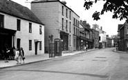
The shop on the extreme left is Harris's Newsagency. Then J. Clifford Hughes the chemist, then The Wool Shop. The long shop (three shops really) is Williams & Cotton: bread & cakes with a very tempting shop window with cream buns, ...Read more
A memory of Lydney by
Captions
136 captions found. Showing results 97 to 120.
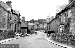
As nearby Sheffield expanded, so did towns like Oughtibridge in the Don Valley. The river powered mills, but later manufacturing became the mainstay.
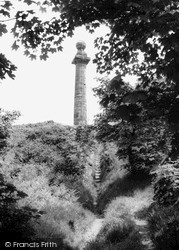
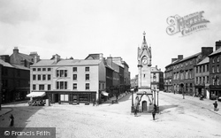
Its replacement was this column, 60 feet high and bearing the following inscription: 'This column was erected by the trustees of the Liverpool Docks, by the permission of John Shaw Leigh, Esq,
This historic, red, sandstone market town suffered at the hands of the Scottish raiders down the centuries—its castle is now little more than a ruin. It nestles under the wooded slopes of the Beacon.
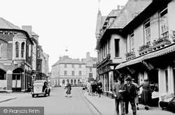
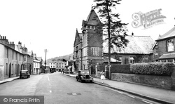
Brecon is a well-manicured town on the River Usk with a smart range of buildings, mainly of the Georgian and Victorian periods, as we can see here.
Poltross Burn, which flows through the middle of the village, marks the border between Northumberland and Cumbria.
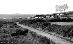
This coastal caravan site is seen from National Trust fields on the edge of Ringstead hamlet.
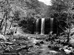
Situated in the Brecon Beacons National Park, these splendid waterfalls are still a major tourist attraction in the area, although they are associated with a number of tragedies.
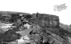
This prominent rock formation stands high up on the St Ives estate over the river; before the age of the car it was holiday treat to walk up here for the exercise and fresh air.
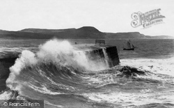
That Meryl Streep moment, as it became after 'The French Lieutenant's Woman' had been filmed here in 1980, with the Outer Breakwater of the Cobb awash in a bursting south-westerly wave.
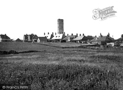
Some thousand yards from the headland, Beacon Tower was a lookout built in 1674 by Sir John Clayton.
This prominent rock formation stands high up on the St Ives estate over the river; before the age of the car it was holiday treat to walk up here for the exercise and fresh air.
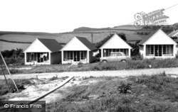
The creators of Golden Acre Holiday Bungalows - as they are now called - proposed a relatively modest development of 18 such buildings.
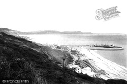
From Ware Cliffs we can see the medieval Cobb harbour (centre right) and the coastal skyline of Stonebarrow Hill, Golden Cap and Thorncombe Beacon. St
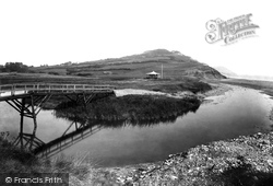
We are looking eastwards from the blocked mouth of the River Char, which ends its journey to the sea by having to break through a ridge of shingle (right).
The Druids' Altar is a naturally large millstone grit formation on the edge of, and overlooking, the Aire valley conurbation, with Bradford to the east and to the west the eastern end of the Yorkshire
The Druids’ Altar is a naturally large millstone grit formation on the edge of, and overlooking, the Aire valley conurbation, with Bradford to the east and to the west the eastern end of the Yorkshire
The beacon on Pendle Hill is said to be Saxon, and the field known as Kirkacre was in existence when Alfred the Saxon was chieftain.
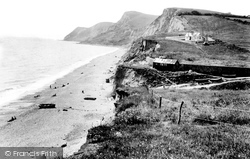
This view shows Eype Mouth, looking westwards to what is now a National Trust skyline, with Ridge Cliff and Doghouse Hill rising into the 508-feet summit of Thorncombe Beacon (centre).
At the end of the 19th century, this was a boom town for lead mining. High on the valley side, old workings can still be seen.
Crickhowell is most famous for its grand 17th-century bridge over the Usk, and the nearby 1481ft Table Mountain.
The aftermath of the recession left businesses striving to become more efficient.
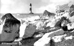
Although there have been several references to a light that was exhibited from Beachy Head in around 1670, the records state that this was not for maritime purposes but as a fire beacon which would
'With the assistance of a telescope Windsor Castle, Frant Church, St Paul's Cathedral, Dunstable Downs, Ditchling Beacon and the spires and towers of forty-one churches can be seen.'
Polurrian Cove lies just north of Mullion Cove itself, and is the town's main beach. On the left is Polbream Point, round which a fine walk leads over Angrouse Cliff to Poldhu Cove.
Places (0)
Photos (2)
Memories (94)
Books (0)
Maps (0)


