Places
5 places found.
Those places high-lighted have photos. All locations may have maps, books and memories.
Photos
9,649 photos found. Showing results 41 to 60.
Maps
18 maps found.
Books
13 books found. Showing results 49 to 13.
Memories
4,612 memories found. Showing results 21 to 30.
The 50s And 60s
I lived with my parents, Ralph and Joan, "Bindy" and sister Judy, on Birchway, off Ack Lane East, then we moved to 17 Atholl Road. There were several families with children who my sister and I spent a lot of time with - Johnny ...Read more
A memory of Bramhall by
My Memories Of Broadstone
My earliest memories of Broadstone stem from about 1937 when I was five years old. We lived in Southbourne at the time and frequently went to Broadstone at weekends to visit my "aunt Flo" and her family who lived at Lower ...Read more
A memory of Broadstone by
The Mchugh Family Nbsp 1963 1965
Hello all, my name is Terry McHugh Junior, as I am apparently the first to hit this site I will share with you my early childhood memories of that lovely village in Yorkshire, Eppleby. We moved into Eppleby in 1963, ...Read more
A memory of Eppleby by
Childhood
My father came to Townsend Farm as the tenant in Sept 1940. The farmhouse is shown on the left in the picture titled Townsend. At that time I was only 15 months. My earliest memories are of the later war years. We had evacuees from ...Read more
A memory of East Quantoxhead in 1940 by
Evac
I was evacuated to Balcombe in 1940 along with the Stanley Technical College pupils from south London. At first, 3 of us were billited at Monks, a large and beautiful home some 3 km out of the village. At that time the Johnston family owned the ...Read more
A memory of Balcombe in 1940 by
Families
On the 27th of December 1956 my ex-husband KEITH GEORGE JEARY was born at 6 UPPER CLOSE where he lived with his parents until we were married at Holy Trinity Church on the 6th of November 1982 - both of my children Emily and Dominic were ...Read more
A memory of Forest Row in 1956 by
First Memories
My father, Richard (Dick) Cherrington was the village policeman in Nether Wallop during World War 2 and I was born in the Police House in the village in August 1944. My first memories ever were of an apple tree in our garden which ...Read more
A memory of Nether Wallop in 1947 by
Tilshead In The Last Century!
Tilshead was the place where I was born and have lived in for a long time. It is a quiet village of around 400 or so people. There was and still is a post office. There was a pub called The Bell but is now a private ...Read more
A memory of Tilshead in 1966 by
Drumtochty Grampian
This picture is of some houses in Methven, Perthshire now demolished. The village of Drumtochty was a made up name by a Perthshire author on or about 1880. It was based on a Perthshire village. This has nothing to do with ...Read more
A memory of Drumtochty Castle by
School Bus And Pub
The old school bus in the photo was used to take me and other children of the village to school it was affectionately known as "kemps cronk"as it was owned by Tony Kemp and his brother who owned the local garage. The fox and ...Read more
A memory of Tillingham in 1972 by
Captions
5,016 captions found. Showing results 49 to 72.
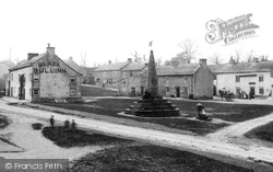
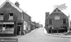
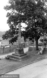
It looks for all the world as if someone has chopped the spire off a church and deposited it in the middle of the village. This is, however, the village cross, which was erected in 1820.
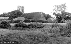
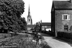
The village is built up around the church, which had its 800th anniversary in 1990. Many of the villagers celebrated by taking part in a play written by Sheila Yeger, the famous playwright.
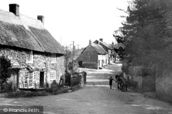
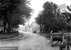
A cart delivers fresh water around the village of Puncknowle. The water came gushing from a grotto in the middle of the village.
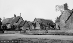
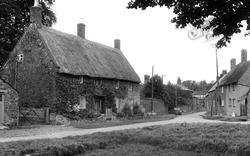
A tractor, without a cab for the driver, hauls its trailer through the centre of the village. The houses are mostly thatched and built of stone.
The village had once been a centre for lead-mining, but by 1900 it was once again reliant upon agriculture, though there was still some quarrying carried out in the locality.
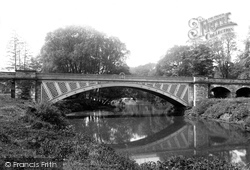
This fine seven-arch Grecian-style bridge over the River Don was built in 1850; it linked the village to Warmsworth, and replaced the ferry service.
Here we see motorists in the village - they are probably touring the area. The 'burn' part of the name comes from the stream which runs through the village.
From Crowborough the route heads back nearer to Hailsham's environs and to the village of East Hoathly, a village now much more peaceful than a few years ago.
Here we see the junction of the Hathersage road and the road leading down to the bridge over the Derwent.
Cigarettes, films and ice cream are among the heavily advertised items stocked at the village stores.
The growth of the village can be traced back to the second half of the 19th century. Road and rail links (it has two railway stations) make it ideal commuter country.
The village post office often doubled as a general store, as the window-dressing here shows. The church was built in 1846, and is still a well-used and much-loved building.
Two white-collared Edwardian lads stand behind a trap outside the village smithy in the village which gave its name to the Hope Valley.
At 700ft above sea-level, Tilton-on-the-Hill is one of the highest villages in High Leicestershire.
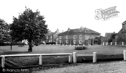
Two young lads play hide-and-seek with the photographer behind a tree in the centre left of the village green. The village stores stand in the centre background across the white-railed green.
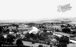
This photograph shows the village of Streatley on the left bank of the Thames. An old wooden bridge linked the village with Goring on the opposite bank until it was replaced in the 1920s.
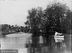
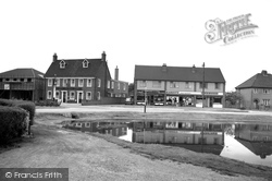
We are looking west over the village pond into Manor Road; the house on the left is The Beeches.
The Village c1955 The two principal churches in the village at this time were the Roman Catholic Our Blessed Lady Immaculate, which dated from the late 1870s, and Holy Trinity, which had been
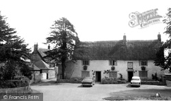
In front of the Mitre Tavern stands this memorial to the 13 men of the village who fell in the Great War. Cottages here date from the mid 18th century.
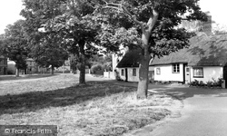
The green, on the far side of the village from the church and overlooked by the village school, is now enclosed with a low wooden fence.
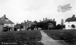
The village of half-timbered and weatherboarded buildings clusters around the green, known locally as 'the Heath', but the village church itself is nearly two miles away.
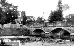
The River Anker flows slowly by St Peter's, which has served the village since 1173. From this placid view, only the middle cottage survives today.
A little further upstream we come to the village of Otterton, built around one long main street.
Nestling just under the hills surrounding the North York Moors is the old settlement of Ampleforth, built around the early abbey of St Lawrence.
Places (5)
Photos (9649)
Memories (4612)
Books (13)
Maps (18)


