Places
3 places found.
Those places high-lighted have photos. All locations may have maps, books and memories.
Photos
68 photos found. Showing results 621 to 68.
Maps
12 maps found.
Books
15 books found. Showing results 745 to 15.
Memories
7,562 memories found. Showing results 311 to 320.
Harry 'ginger' Scott
My father passed away in 1955. I returned from National Service in Germany in time to visit him in Winchester hospital, sadly my older brother Ron was a regular soldier serving in Hong Kong and could not get back in time to see ...Read more
A memory of Eastleigh in 1955 by
Born In Fenny Stratford
I was born at number 8 Woodbine Terrace; in attendance was nurse Brinklow the local midwife and Dr Gleeve. My parents were Jim and Vera Cusack. Just after the begining of the war my mother, ...Read more
A memory of Fenny Stratford in 1948 by
Home Away From Home
I was a young adult when I arrived in Rochford on a Sunday afternoon in June 1978, to take up my position as student nurse at Rochford Hospital. I was from Cape Town in South Africa and the feel of this village promised ...Read more
A memory of Rochford in 1978 by
Laleham Abbey
My sister Kathleen Taylor (former name) was cook in the kitchen for the retired old ladies. I was always staying with her during school holidays. Her husband then (now deceased) was Barry Taylor and they had two children, Sarah born ...Read more
A memory of Laleham in 1970 by
Longleat
My grandfather Cecil Welch, who was the local estate agent and auctioneer based at the Old Town Hall in the High Street, bought several old cottages next to the blacksmiths in Church End for his son John and wife Peggy, at the vast cost ...Read more
A memory of Great Dunmow in 1948
Boyhood Memories From 1952
It was around this time that the tram lines were taken up from Sunderland Road in Gateshead. The men stored the old lines in Somerset Street and Devonshire Street. As boys we would dig up the tar from around the streets ...Read more
A memory of Gateshead in 1952 by
Lightning Strikes
This is August 1953, I was 10. We were playing cricket on the clay field with some older lads, the stumps were iron and came from Spencers steel works which was nearby and stuff like this was easily got. Anyway I remember it was ...Read more
A memory of Newburn in 1953 by
Dibden Purlieu Newsagents Mr Mrs Storey
It was so lovely to see you refer to Mr Storey (Sid) in the earlier post - he was my wonderful Grandad! Nan and Grandad (Grace and Sid Storey) used to run the newsagents, and as a little girl, I was ...Read more
A memory of Dibden Purlieu by
Childhood Memories From 1949
I was born in Hubert Terrace which ran off Bank Street and along to Cuthbert Street. Further down was School Street and Marian Street which ran along to Derwentwater Road, and on Derwentwater Road was Lady Vernon School ...Read more
A memory of Gateshead by
Swimming Above Stepping Stones Weir At Bothal
Our Mam being an Ashington lassie, we returned to her birthplace when Mam divorced my father who she met before the Second World War - that was when Mam was in London and working in 'service'. We were ...Read more
A memory of Bothal in 1949 by
Captions
2,501 captions found. Showing results 745 to 768.
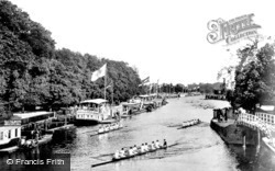
This view, taken from Folly Bridge at the south end of St Aldate's Street, is of an earlier Eights Week with the Christchurch Meadow bank lined with the College Barges.
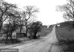
Piper Bank appears in the census returns of 1851 and on maps of Rossendale as a place name.
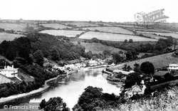
Newton Ferrers and Noss Mayo, 'Newton and Noss' to all locals, line the opposite banks of the Yealm estuary.
The Hartmoor area of Devizes lies to the south. This photograph is a revealing view of old England.
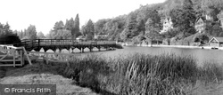
Field Marshal Conway's great 18th-century landscape improve- ments and garden buildings in the grounds of Park Place included the rustic boulder-bedecked bridge on the right, carrying the Wargrave
Here we are looking east towards the hill down to the Hamble River. On the right we have Robertson, a chemist, and the local post office adding to the many shopping facilities for the inhabitants.
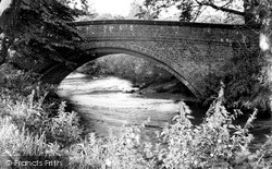
Pownall Bridge over the River Bollin carries the public footpath that runs from Wilmslow along the river bank to Styal.
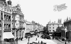
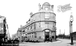
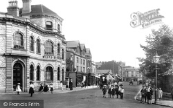
On the left is the red brick and stone Lloyds Bank building, with its fretted skyline, while to the right is the neo-classical Post Office, built in 1881.
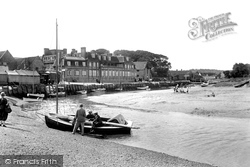
The pleasure of children playing contentedly around their sand castle, on the far side of the river, creates a charming picture often repeated with the passing years.
To the left of the Town Hall is the local branch of the National Provincial Bank, while to the right The Central Pharmacy is still a chemists, but under the name of Cherrington.
Buildings such as Woking's fine, if somewhat dull, Old Bank had no place in the exciting, post-war redeveloped Woking.
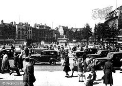
Another moment in the square caught by the camera. This appears to be lunchtime judging by the number of peo- ple taking their ease.
As a market town, Fakenham serves the needs of a wide area of villages and farms - as is suggested by the presence of the main national banks.
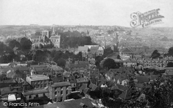
Winchester lies on the western banks of the River Itchen at a crossing important to Iron Age dwellers thousands of years ago.
With the decline in industries such as iron, steel and coal, many villages such as this went into steep decline. There are still signs of life, however!
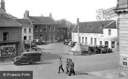
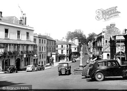
Boyle Cross was a fountain erected in 1871 and used for washing fish for the market. On the right is Lloyd's Bank, and beyond it is the entrance to Cheap Street.
Everything beyond the Wilts and Dorset Bank (now Lloyds) has been flattened. Otherwise, this view has all you would expect from such a vintage photograph.
It later became the NatWest Bank. The two pubs featured here are The King's Arms (far left) and, up the hill, The Barley Mow.
The original crossing here was a ford, probably used since Bronze Age times. The present bridge bears a plaque inscribed 'County Bridge 1792'.
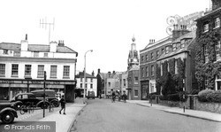
The boy on the left appears to have been diverted from what he was doing: probably he has been hailed by the two cyclists opposite Lloyd's Bank, who seem to be about to head across the road towards him
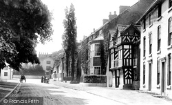
On the right is the half-timbered Priest's House, which is thought to date from the 14th century.
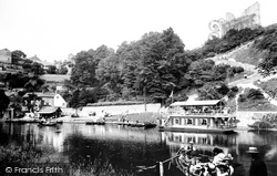
Moored alongside the far bank is a floating tea room, which appears to be doing a brisk trade. The rowing boat in the foreground is, in fact, the ferry to the Dropping Well.
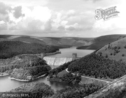
This fine view of the Howden Dam, with the forbidding moorland of Bleaklow beyond, is taken from Abbey Bank, on the edge of the Howden Moors.
On the right is the half-timbered Priest's House, which is thought to date from the 14th century.
Places (3)
Photos (68)
Memories (7562)
Books (15)
Maps (12)


