Places
3 places found.
Those places high-lighted have photos. All locations may have maps, books and memories.
Photos
68 photos found. Showing results 841 to 68.
Maps
12 maps found.
Books
15 books found. Showing results 1,009 to 15.
Memories
7,562 memories found. Showing results 421 to 430.
Flaxley Road
I was born in 1950 and lived at 151 Flaxley Road until 1958. My father was William Yardley, he was a manager at the Levis works in Station Road. He died in 1953, and in 1958 my mother was re-married to a local retiring policeman, 'Sam' ...Read more
A memory of Stechford by
Bretts Farm Romford Rd Aveley
I arrived in Aveley in 1957/58 I was herdsman at Bretts Farm, Romford Road and worked for David Watt. Once a year we would take the young cattle through Belhus Park then along Daglen Drive, up Stifford Road to Ford Place, ...Read more
A memory of Aveley by
Beech Mount Maternity Hospital, Harpurhey
My name is Lorna Fielding (nee Singleton), I was born in Beech Mount Hospital Harpurhey, which was in Oak Bank Street, Harpurhey, on 2nd November 1951. I had a sister Hilary Rhoda Singleton who was born ...Read more
A memory of Collyhurst in 1951 by
1 A High Street, Garndiffiath
My name is Robert Gwillim, I lived at 1A High Street with my parents Edward & Betty from when I was born in 1955 until April 1962. My sister, Carol, was born in December 1961. My parents had lived at 1A High ...Read more
A memory of Garndiffaith in 1960 by
Growing Up In Northwood Hills
I was born in a small maisonette off Alandale Drive and my mum still lived there until she passed away aged 95 in 2014. The border between Hillingdon/Harrow runs across the back garden. I attended Pinner Wood ...Read more
A memory of Northwood Hills in 1960 by
Nostalgia
Greenfield Road was known as Greenfield Villas before World War II. I lived and grew up in 4 Greenfield Villas with my grandparents, Mr & Mrs W A Davies, my mother, Nancy, and sister, Gertrude, from 1937 until 1947. My father was away ...Read more
A memory of Llanelli in 1940 by
Holes, Hoardings & Hythe Ferry
On returning from the Middle East, my family holed up across the water at Fawley. A big city was very exciting for me and after getting off the Hythe Ferry it was all bomb craters up to about the Dolphin. Above Bar was ...Read more
A memory of Southampton in 1954 by
Moving To Prudhoe 1947
We moved to Prudhoe in 1947, I was 12 years old. My dad, Bill Turner RSM, took over the Drill Hall in Swallow Close. I thought it was wonderful as we had relatives in Prudhoe, plus a grandma, Mary Ann Turner. I was born in ...Read more
A memory of Corbridge in 1947 by
The Fifties
I have lovely memories of Troedy; my brother, Terry, and me spent our summer holidays with my gran and grandad who lived at No.59, Sid and Fan. Everybody seemed related. I remember aunty Cory’s ice-cream shop, she was my grandad’s ...Read more
A memory of Troedrhiwfuwch in 1953 by
The Brad
I was born in Coedybrain Rd in 1948 and my family moved to School St. I remember going to the school until I was 6, when we moved away to a new housing estate. The school had a stuffed squirrel in a glass case. I was in the nursery class ...Read more
A memory of Llanbradach
Captions
2,501 captions found. Showing results 1,009 to 1,032.
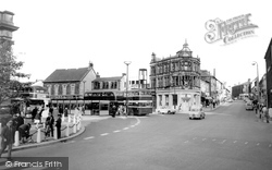
We are looking across the Market Place. The Market Hall is just visible on the left, and the area beside it still serves as the town's main bus terminal.
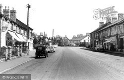
As well as the Midland Bank on the left and the Windsor Arms on the right, this picture also features a branch of Thomas & Evans on the right-hand side of the picture.
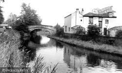
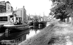
The Bridgewater canal, built between 1759-1776, was a key transport network of the early Industrial Revolution, linking Manchester to Runcorn and carrying freight and passengers.
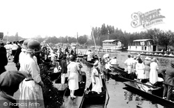
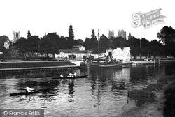
The Thames, or Isis, plays an important role in Oxford University life.
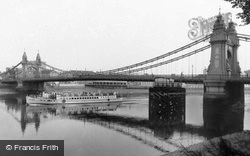
We meet Bazalgette later at the Embankment in central London; seen here from the Barnes bank towpath, his suspension bridge has a 420-foot main span, and the towers are finished with French-style pavilion
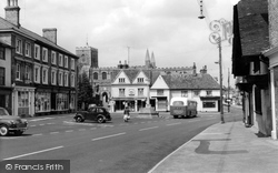
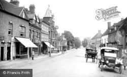
The Lloyds Bank on the left is still in place today but the Boots beyond it has been relocated to the new shopping development on the riverside.
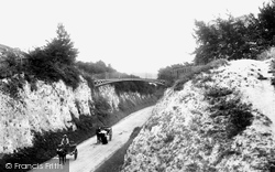
Just out of the picture, high on the right bank, is the path from Love Lane and Wolversdene Road to the bridge. The trap and donkey cart going into town have stopped to pose for the picture.
On the left is a terrace of brick houses and shops built c1865. Barclay's Bank closed in 2000, but the Co-op still trades from the ground floor, although it now has a mid-1990s shop front.
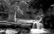
This was the water tower for St Mary's Abbey. At one time the abbey boundary wall stood along the river bank.
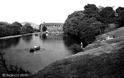
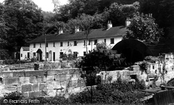
The lake, originally the reservoir for the cotton mill at the far end, was used for boating and swimming, whilst sunbathers and picnickers enjoyed its wooded banks.
Rolle Quay was the industrial area of Barnstaple, located on the seaward side of the river Yeo. Even in 1936, some trade is still in evidence.
The River Otter meets the sea just to the east of Budleigh Salterton after a 30-mile journey across Somerset and East Devon.
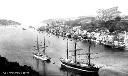
This is the Fowey beloved of weekend salts and retired admirals who sip gins on the verandahs of waterside houses in this timeless old town.
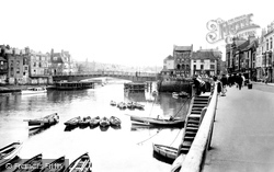
If you should ask how the fishermen reached their cobles moored in the river, notice the steps (not to mention the mooring ropes).
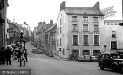
The High Street, with many cars, and a tarmacadam road, is much changed from earlier pictures. Simonds Bank is now Barclays, and Armstrongs has become Eighteens.
From the south bank, near Westminster Bridge, completed in 1862, this view shows the bell tower known universally by its great bell, Big Ben.
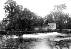
A mill close to the village was mentioned in the Domesday Book and the ruins, seen on the Trent's bank, were probably part of it.
Lympstone suffered economic depression at the end of the Napoleonic Wars when its shipbuilding yards closed. A number of residents moved to Devonport to continue their trade.
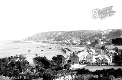
Clement's Quarry is in the foreground. Note the area of tidal reach between the railtracks. The Mumbles-Swansea train in the centre of the photograph is heading for or leaving the Elms Terminus.
Taken from the canal bridge, this photograph shows Bridgewater Street, looking towards Eagle Brow.
This view looks from the north bank of the Avon, near the toll bridge. The mill buildings are still in use (compare this view with the last one).
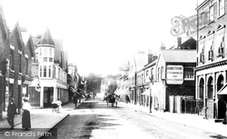
North Street leads out of the town in the direction of Cowdray Park, with which the town is most closely associated.
Many of the town's elegant buildings were built during the 18th century, when the town prospered from the East Indies trade.
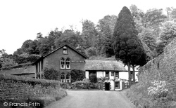
The Red Lion Hotel in the charming village of Armathwaite occupies a beautiful position at the foot of a tree-clad bank above the River Eden.
Places (3)
Photos (68)
Memories (7562)
Books (15)
Maps (12)


