Places
36 places found.
Did you mean: street or streetly ?
Those places high-lighted have photos. All locations may have maps, books and memories.
- Heathfield, Sussex (near Cade Street)
- Street, Somerset
- Chester-Le-Street, Durham
- Adwick Le Street, Yorkshire
- Scotch Street, County Armagh
- Friday Street, Surrey
- Potter Street, Essex
- Boughton Street, Kent
- Newgate Street, Hertfordshire
- Streetly, West Midlands
- Shalmsford Street, Kent
- Green Street Green, Greater London
- Boreham Street, Sussex
- Park Street, Hertfordshire
- Cade Street, Sussex
- Appleton-le-Street, Yorkshire
- Hare Street, Hertfordshire (near Buntingford)
- Romney Street, Kent
- Trimley Lower Street, Suffolk
- Streetly End, Cambridgeshire
- Hare Street, Hertfordshire (near Stevenage)
- Brandish Street, Somerset
- Colney Street, Hertfordshire
- Langley Street, Norfolk
- Silver Street, Somerset (near Street)
- Street, Yorkshire (near Glaisdale)
- Street, Lancashire
- Street, Devon
- Street, Cumbria (near Orton)
- Street, Somerset (near Chard)
- Bird Street, Suffolk
- Black Street, Suffolk
- Ash Street, Suffolk
- Broad Street, Wiltshire
- Brome Street, Suffolk
- Penn Street, Buckinghamshire
Photos
21,809 photos found. Showing results 2,661 to 2,680.
Maps
1,622 maps found.
Books
1 books found. Showing results 3,193 to 1.
Memories
6,667 memories found. Showing results 1,331 to 1,340.
The Bank Chippy Bell Street
My friend lived at the Queens Head pub shown in the Bell Street photo, when we were cold and hungry we used to go to the Bank Chip shop (just out of shot at the top right of the picture, on the curve of the road opposite ...Read more
A memory of Wigston in 1971 by
Brown Lees Village
I was born in Brook Street, Brown Lees, within the civil parish of Biddulph. The village is situated about half a mile north of the site of the former Biddulph Valley Ironworks and the Brown Lees and Victoria Collieries, where ...Read more
A memory of Brown Lees in 1940 by
Park Street
My grandfather Eddie Williams lived in no.2 right opposite the hut where he played darts. He was the pianist for the Dorian singers.
A memory of Cwmcarn in 1958 by
Hempsted Street
I have never seen Hempsted Street but my Grandparents lived at 70 in 1891. Wish I could help with your picture request but sadly there are none in my fathers belongings. Betty Canada
A memory of Ashford by
Hubert Terrace
I often wondered who Hubert was. Other road names around were obvious. Bank Street was on a bank; School street had a school at the end of it. But Hubert Terrace? One side of my street was brick and the other was stone; something else ...Read more
A memory of Bensham in 1964 by
Location
High Street, looking towards the cross. We lived in the next house to the Post Office/stores (with the Walnut tree on the left) from 1959 - 1976.
A memory of Long Wittenham
Born On The Graig
"It's only wind or powder on the stomach"my Mam had said as she walked home from the ammunition factory on a cold Autumn evening. The "wind" or "powder" was born on the 2nd December 1942. I, Colin Gronow, had ...Read more
A memory of Graig in 1940 by
Benson Street
I lived at no 5, neighbours were George Sharples, Peter Humphries, Charlie Chedell. I went to Winsor Road School. We used to play on the railway sidings, and donkey bridge. In the winters we would go over to Peel Park and slide down the ...Read more
A memory of Salford in 1954 by
The Sweet Shop And The Imperial Cinema
From John Moloney; john@moloney.com I was moved to Oldham as an evacuee from Stretford in 1941 to live at 395 Featherstall Road North. The house was occupied by my great-great aunt, Ellen Farrow, and her son ...Read more
A memory of Oldham in 1940 by
Tooting Smells Like Home ........1970's 80's
The huge image of a beautiful woman's face comes to mind when I remember Tooting Broadway "Chelsea Girl". I used to love looking at all the lovely clothes and getting ideas so that I could walk down to "Huma ...Read more
A memory of Tooting in 1980 by
Captions
5,381 captions found. Showing results 3,193 to 3,216.
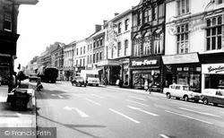
When this picture of the High Street was taken, there would be plenty of outlets from which it was possible to buy tobacco products.
The inn's name moved here from Hill Street in the 1840s.
A quarter of a century apart, this and the previous view of the High Street show how little it changed throughout the 20th century, with the exception of traffic problems and an increased number
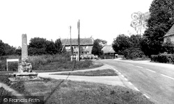
Village Street leads away downhill to the old post office.
This one-street town is one of the most delightful in England; it is a special place to visit and an even better one to stay in, to use as a base for the exploration of Worcestershire.
No motor vehicles are allowed in its steep cobbled streets, and what we see today is essentially what our cameraman saw in 1930.
There is now plenty of traffic on the street. A sign in the middle of the row of buildings on the left is for the library.
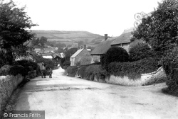
Further west along Main Street, looking towards Lyme Regis, the plateau of Langdon Hill forms the skyline (centre). The cart is beside Rose Cottage and Foss Cottage (left).
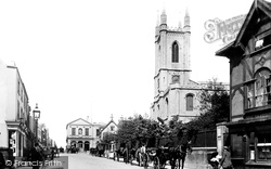
Here we see some horse-drawn carriages, including a street cleaner's cart, parked outside the Parish Church of St John Baptist.
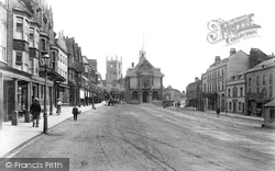
Dominant in this photograph of the east end of the High Street is the Town Hall, which at the date of this photograph had just been rebuilt by local architect C E Ponting.
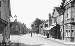
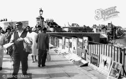
Not something that would happen today with any degree of safety, a gentleman poses for the camera in the middle of the street.
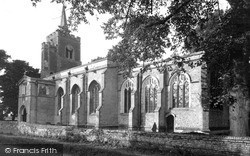
The church of St Peter occupies an island site where the main street divides.
This street has become estate agents' row - at Nos 4, 14, 18a and 24 Chalet Hill that is just what you will find.
The house on the corner of Montrose Street to the left is now another medical centre, with a dental surgery next door.
Horbury, three miles south-west of Wakefield, was once one of the busiest railway junctions in the country; hence, perhaps, the absence of any form of traffic in the High Street in this photograph.
This is Georgian urban architecture and townscape at its best, and our route starts in Queen Square, west of Milsom Street.
Heading north-east out of Bath on the A4, cross the A46 junction onto the old A4, which soon becomes Batheaston High Street.
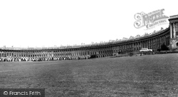
Walk along Brock Street, and you reach the quite extraordinary Royal Crescent of John Wood the Younger.
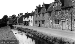
Along Dinder's main street the Doulting Water was diverted to provide running water for the inhabitants.
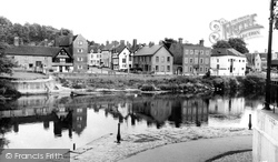
Wribbenhall is situated on the opposite bank of the river to Bewdley, and architecturally its streets are far more interesting than Severnside.
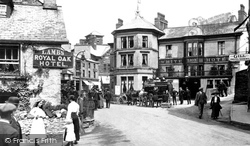
A coach-and-four has pulled up outside the White Lion, while bustle in the main street shows how busy Ambleside had become as a tourist centre by this time.
Cocks House, in the distance at the junction with Back Street, is unchanged.
To the right lies Broad Street.
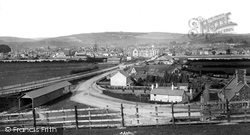
Gas street lighting is already in place on the station approach road, but not on the Bideford road which leaves to the left.
Places (385)
Photos (21809)
Memories (6667)
Books (1)
Maps (1622)


