Places
3 places found.
Those places high-lighted have photos. All locations may have maps, books and memories.
Photos
63 photos found. Showing results 1,241 to 63.
Maps
12 maps found.
Books
1 books found. Showing results 1,489 to 1.
Memories
7,564 memories found. Showing results 621 to 630.
Childhood Holidays
I will never know why, but we used to take the train to Lundin Links, and then taxi to Lower Largo. I don't know when these holidays started (I was born in 1957 and there are certainly photos of me around 3 years old). ...Read more
A memory of Lower Largo in 1965 by
Fitba In The Big Park
I was born in Suttislea in Nitten in 1947 but my sister and I emigrated to Gowkshill when I was 2 (I think) and lived at 18 Pentland Avenue till I married Isobel from Bonnyrigg when I was 21. I grew up with the Weighands and ...Read more
A memory of Gowkshill by
Boyhood Memories
I was born in 89 Abbot Street, just off Sunderland Road, in 1932, then we moved to the Gateshead end of Redheugh Bridge. When the Second World War started we moved to 20 Brussel Street. The Davidson family lived in the flat above ...Read more
A memory of Gateshead in 1940 by
Old Manor Cafe
My memory of Blackwater started when I was 14, for those of you who don't know what the Old Manor was, it was a transport cafe, which stood on what is now a supermarket site, on the right, at the junction with Rosemary Lane. In the ...Read more
A memory of Blackwater in 1960 by
Things I Remember
Greenford market, that's where the buses terminated. If you were quick you could jump off the back of a bus at the corner when it turned into Windmill Lane, that way if the bus was going further than the market it saved you ...Read more
A memory of Greenford in 1975 by
46 Bridge Road, Cove
46 Bridge Road at Cove is very significant to me because I was born in Bridge Road, no 46, on 29th June 1943, in the photo of Bridge Road it is the second house on the left, opposite Cove Supply Stores, so I'm sure my mother would ...Read more
A memory of Cove in 1943 by
Cooksons Leadworks Part 2
1965. During my time working here I carried out a number of different jobs, one was to make Zinc ingots, my shift would start with my furnace fired up and there next to it would be my "charge" this would be a pile of old ...Read more
A memory of Newburn in 1965 by
Higher Bebington Road
I grew up in Higher Bebington Road, my mum lived there from 1957 up until she died in 2008. I have seen so many changes. When we were kids we would pond-dip in the ponds on the fields at the back of the Oval now football ...Read more
A memory of Bebington by
Huntly
I went to the Gordon Schools until I moved to England in 1972, they were the best days of my life. My uncle George Robertson owned the painting and decorating shop in Castle Street. I remember the picnics down by the Deveron in the summer. There ...Read more
A memory of Keith by
Doseley
When my dad Derick John Jones was born in 1944 he lived in a row of houses called Dill Doll Row or Dill Da Row as some people called them, they were situated at Sandy Bank, Doseley, just behind the Cheshire Cheese pub at Doseley. My dad lived ...Read more
A memory of Doseley in 1944 by
Captions
2,471 captions found. Showing results 1,489 to 1,512.
In this view the family businesses of Hargrave's the butcher's (right) and Trott's the greengrocer's next door are still in business, though not for much longer.
Gently winds the lane down between stone banks towards this picturesque fishing village of whitewashed cottages and bright spring flowers.
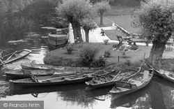
For many years the river at Barrow has possessed a watery magnetism which has drawn people from the city to its banks on warm summer days, either to enjoy a picnic, or to venture onto the
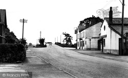
The Macclesfield road rises in the distance to the bridge over the railway line, with the station and livestock market going down on the left.
The parkland of 18th-century Welton Place sweeps south to the north bank of the Grand Union Canal, in its cutting leading to the east portal of the Braunston Tunnel.
From Bridge Street we head north towards Victoria Square over the Chesterfield Canal, whose bridge parapets are in the foreground.
The car on the left obscures what was the front window of the Daventry Weekly Express office (or The Gusher, as it is affectionately known by the locals).
This is East Bridge, at the eastern end of East Street (far right), looking eastwards from the north bank of the River Asker.
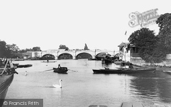
The advent of the railways in the mid 19th century was to enhance the use of the Thames for pleasure as day-trippers took to the water in punts and sailing boats.
Middleton was granted a market charter on 23 June 1791 and the market remained here until 1939. Surrounded by shops and inns, the Market Place was the hub of the town for many years.
This is East Bridge, at the eastern end of East Street (far right), looking eastwards from the north bank of the River Asker.
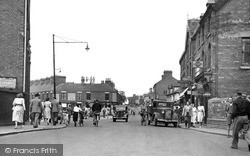
In the immediate post-war era, Luton was a medium sized town - albeit a county borough - about to become very much larger.
This photograph looks eastwards along East Street from the southern pavement, with the Midland Bank opposite (left).
In 1632 the first cattle market was held in Dunraven Place. The Wyndham Arms, a Grade II listed building, used to be an important coaching inn.
This photograph looks eastwards along East Street from the southern pavement, with the Midland Bank opposite (left).
Uppingham School's Memorial Hall and classroom block dominate the street, replacing houses which were demolished in the 1920s.
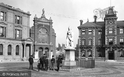
This evocative late Victorian view with the youths posing beside Queen Victoria's Golden Jubilee Statue is very much an archive photograph: only the building to the left, a bank, now the
Further downstream and opposite Hampton Court, Molesey Lock is photographed from Riverbank, the busy A3050 along the Surrey bank of the River Thames.
Pitsea Hall Island—to the left of the creek—has a complex history. Originally pasture and arable land, it was taken over by British Explosives Ltd in 1890.
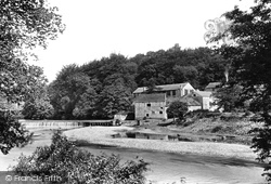
This is one of two mills on the north bank of the Wharfe.
Pitsea Hall Island—to the left of the creek—has a complex history. Originally pasture and arable land, it was taken over by British Explosives Ltd in 1890.
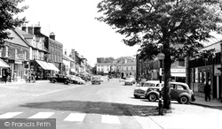
By 1960, the pedestrian crossing over Westgate had been moved to its present position, in the foreground of this view.
The post office is on the far left, and immediately next door is A Shenton, dealing in baby linen and ladies' clothes.
If you compare this photograph with the reality of the scene today, it would seem at first glance as if time has stood still here.
Places (3)
Photos (63)
Memories (7564)
Books (1)
Maps (12)


