Photos
Sorry, no photos were found that related to your search.
Maps
9 maps found.
Books
2 books found. Showing results 49 to 2.
Memories
561 memories found. Showing results 21 to 30.
Colindale The Early Years
I was born in the house on the corner of Woodfield Avenue and New Way Road in 1944 and lived there until the end of the 1970s. My birth was in fact on Friday the 13th of October, which coincided with the dropping of a V2 ...Read more
A memory of Colindale in 1958 by
Pinehurst Childrens Home Park Rd Camberley
Memories of Camberley come from my childhood days as an orphan residing at 'Pinehurst', a Surrey County Child Welfare Home 1949-1953. I was put there as a 9-year-old and recall spending a very happy part ...Read more
A memory of Pinehurst in 1949 by
Happy Days
My father bought a horse and gypsy caravan in the summer of 1946.He borrowed another horse from his brother and was able to take the caravan to Shoebury Hall camp site. He painted 'Happy Days' on the caravan door. We had the caravan ...Read more
A memory of Shoeburyness in 1946
Happy Days
I was just reading 'Formative years in Kirn'. Yes they were good. I used to fish off Kirn pier for cat fish for Mrs Drovandi's cat and in exchange she would give me an ice cube. I remember Reggie Brooks and the boats - We used to live in ...Read more
A memory of Kirn in 1950 by
Holidays In Laugharne
I and my family stayed at the Ferry House, next to the Boat House from 1965 to 1973. The house was then owned by the wife of my dad's boss and we used to be able to go for a fortnight each summer. We used to park our car, with ...Read more
A memory of Laugharne in 1965 by
School Holidays At Abington Park
I was born in 1951 in Lutterworth Road, Northampton just a 5 minutes' walk from one of the most beautiful parks in the country - Abington Park. Originally part of the Wantage family estate, it boasted a museum ...Read more
A memory of Little Billing in 1959 by
Bombing Raids In 1940
Bristol's premier shopping centre was turned into a wasteland of burned out buildings after major bombing raids in 1940, during the Second World War. Bridge Street Summary Bridge Street ran from High Street, rising up a ...Read more
A memory of Bristol by
St John's Gate Broad Street
St John's Gate in Broad Street in Bristol is the only surviving medieval city gateway, at one one time there were seven gates into the old city. Fortified gateways pierced the town wall at intervals. St John's Gateway, ...Read more
A memory of Bristol by
Gran And Grandad Burnett
My Dad's family, the Burnetts, live in Kingston Upon Hull. Most summers in the 60s and 70s we stayed at grans for a week. Grandad worked on the Boating lake he was the one you paid your fare to; my sister and I ...Read more
A memory of Kingston upon Hull by
Moston
My grandparents, Horald and Edith Hughes, lived in Moston Cottage, Booley. Also living in the cottage were 3 of their sons; John, Douglas and Tony. My father, Basil, was no longer living at home. John and Douglas worked on the farm ...Read more
A memory of Moston in 1957 by
Captions
650 captions found. Showing results 49 to 72.
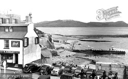
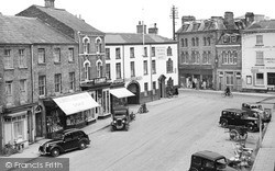
The Square and Cobb Gate at the seaward end of Broad Street, eastwards from Bell Cliff, with the line-up of parked cars including Rileys, a Hornet soft-top, Jowett, Standard and Austins.
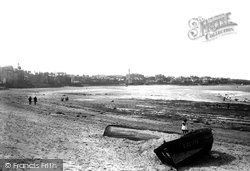
Here we see the broad sweep of the sandy bay to the west of the harbour area on a quiet day.
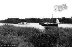
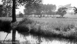
Woodland surrounds many of the broads in the upper stretches of the Bure, providing shelter and seclusion for these early cabin cruisers. The thick reed beds obscure the exact edge of the land.
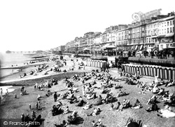
On a clear day, Eastbourne may be seen to the west across Pevensey Bay from Hastings Pier and the sea front. To the east are clear views to the broad peninsula of Dungeness.
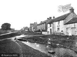
North of Leyburn is the manorial village of Bellerby. Here the stream runs through the broad green in the centre. Around it are farm cottages, and in the middle distance stands the Old Hall.
Chesham also developed north of the town centre along the valleys and ridges in the late 19th and 20th centuries, the northern part being named Newtown.
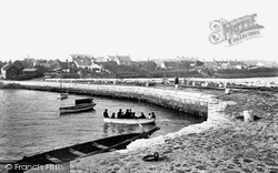
A safely loaded rowing boat is pushed away from the stone quay of the commercial harbour leading out into Belfast Lough.
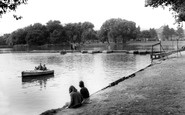
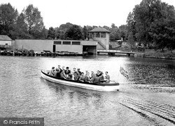
The boating lake covered 30 acres. The smaller lake, for younger children, was separated from the larger one by a hump-backed bridge (K13007, pages 76-77).
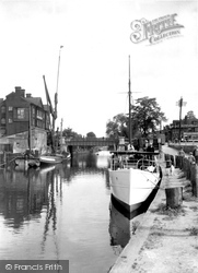
A sailing barge, once a common sight on the Broads and Norfolk rivers, is moored opposite the pleasure boats below the yacht station. One of these is a yacht, the other a river trip launch.
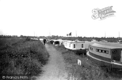
Holidays on the Broads were already big business when this photograph of cruisers was taken of the moorings near Acle.
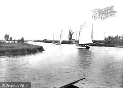
Typical sailing cruisers glide majestically along the River Thurne, passing one of the essential wind pumps which drain the fields throughout the Broads area.
Gnosall also had two canal-side pubs, the Boat Inn by Bridge No 34, and the Navigation Inn by Bridge No 35.
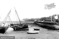
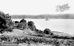
A sailing barge makes its way along the Orwell, with lush wooded hillsides coming down to meet the broad tidal mudflats at the water's edge.
A safely loaded rowing boat is pushed away from the stone quay of the commercial harbour leading out into Belfast Lough.
Moving east along B-roads zig-zagging through the Fens, we reach Long Sutton. This market town is noted for its rare 13th-century lead spire and late Norman nave.
The lakeside railway makes a circuit of the boating lake and the paddling pool. Most of the park was devoted to children's amusements, but there was one backwater for swans.
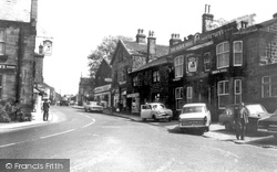
Instead of horses and carts, cars now clog the pavement outside the Black Bull. Note how the dark ashlar is picked out by severe white mortaring.
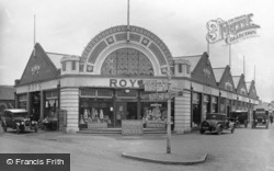
Arnold Roy spotted the need for provisioning the Broads tourist industry early, and his story is a classic errand boy to shopping magnate story.
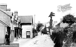
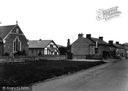
Here we have a view of the broad main street, with St David's Church and the church hall on the left. In front of them stands the fine war memorial.
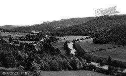
The broad valley of the Derwent near Whatstandwell opens out between well-wooded sides, as we can see in this picture.
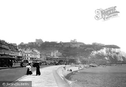
Here we have a magnificent view of the broad sweep of the breezy seafront at Dover, with the castle overshadowing the town from four hundred feet above, and the Roman Pharos clearly visible beside the
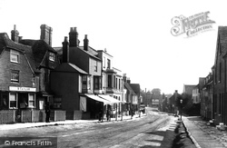
Note the broad width of the street where the market used to be held, and the pleasing variety of architecture and raised pavements.
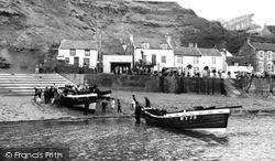
The launching of the boats causes a good deal of interest in this excellent view, which is full of human interest.
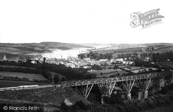
Penryn sits at the head of a creek in Falmouth harbour. At the top of the town Brunel's Great Western Railway crossed the broad wooded valley on a mighty viaduct.
Places (0)
Photos (0)
Memories (561)
Books (2)
Maps (9)


